

Více o knize
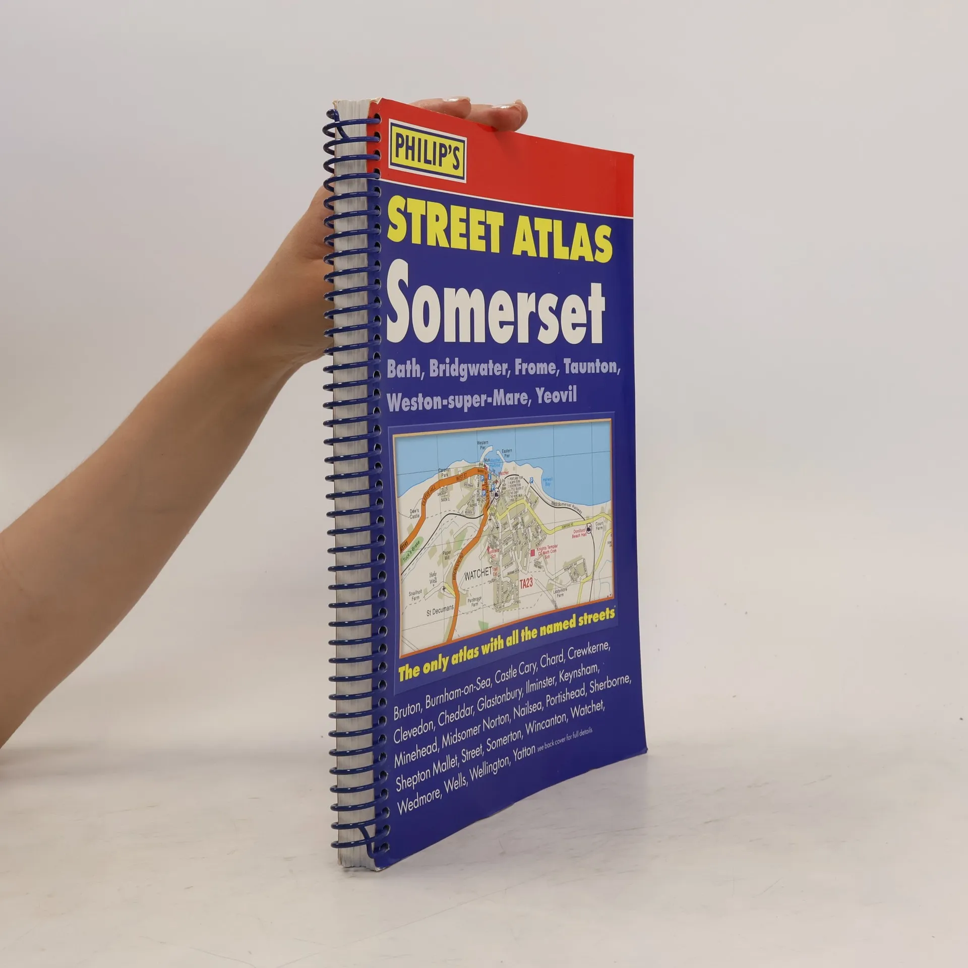
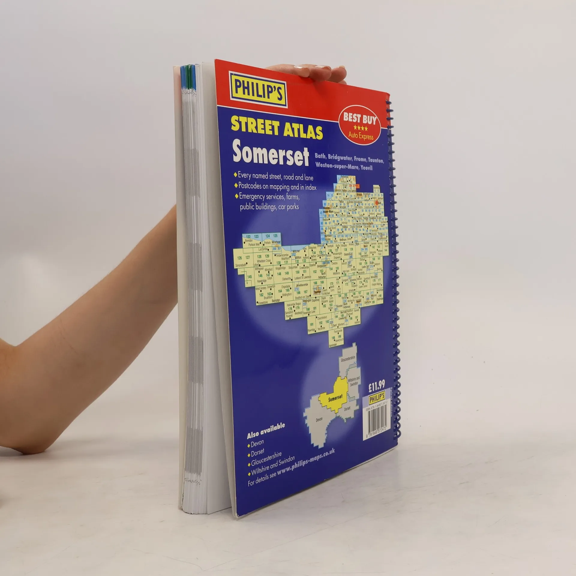
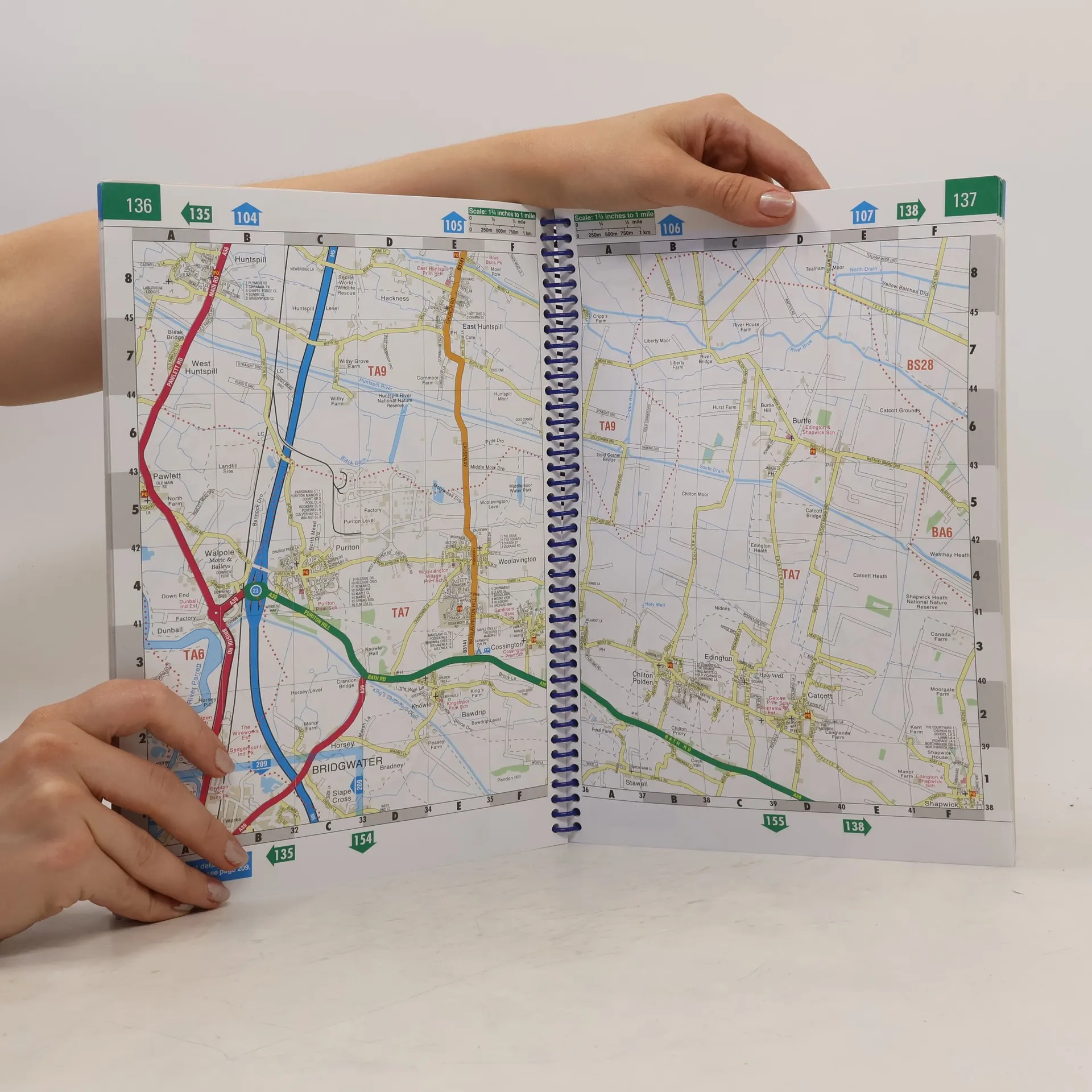
This revised Philip's Street Atlas Somerset gives comprehensive and detailed coverage of the county. The route planner shows all the A and B roads, and can be used when driving to get close to the destination before turning to the relevant large-scale street map.The street maps show every named road, street and lane very clearly, with major roads picked out in colour. The maps are at a scale of 1.75 inches to 1 mile, with larger scale maps at a scale of 3.5 inches to 1 mile. Bristol and Bath city centres are shown at 7 inches to 1 mile.Other information on the maps includes postcode boundaries, car parks, railway and bus stations, post offices, schools, colleges, hospitals, police and fire stations, places of worship, leisure centres, footpaths and bridleways, camping and caravan sites, golf courses, and many other places of interest.The comprehensive index lists street names and postcodes, plus schools, hospitals, railway stations, shopping centres and other such features picked out in red, with other places of interest shown in blue.
Nákup knihy
Philip's Street Atlas Somerset, Kolektiv autorů
- Jazyk

- Rok vydání
- 2012
- Vazba
- (kroužková)
Doručení
Platební metody
Tady nám chybí tvá recenze.
- Titul
- Philip's Street Atlas Somerset
- Jazyk
- anglicky
- Autoři
- Kolektiv autorů
- Vydavatel
- Philip's
- Rok vydání
- 2012
- Vazba
- kroužková
- Počet stran
- 288
- ISBN10
- 1849072477
- ISBN13
- 9781849072472
- Série
- Štítky
- Cestování
- Hodnocení
- 4 z 5
- Anotace
- This revised Philip's Street Atlas Somerset gives comprehensive and detailed coverage of the county. The route planner shows all the A and B roads, and can be used when driving to get close to the destination before turning to the relevant large-scale street map.The street maps show every named road, street and lane very clearly, with major roads picked out in colour. The maps are at a scale of 1.75 inches to 1 mile, with larger scale maps at a scale of 3.5 inches to 1 mile. Bristol and Bath city centres are shown at 7 inches to 1 mile.Other information on the maps includes postcode boundaries, car parks, railway and bus stations, post offices, schools, colleges, hospitals, police and fire stations, places of worship, leisure centres, footpaths and bridleways, camping and caravan sites, golf courses, and many other places of interest.The comprehensive index lists street names and postcodes, plus schools, hospitals, railway stations, shopping centres and other such features picked out in red, with other places of interest shown in blue.