

Více o knize
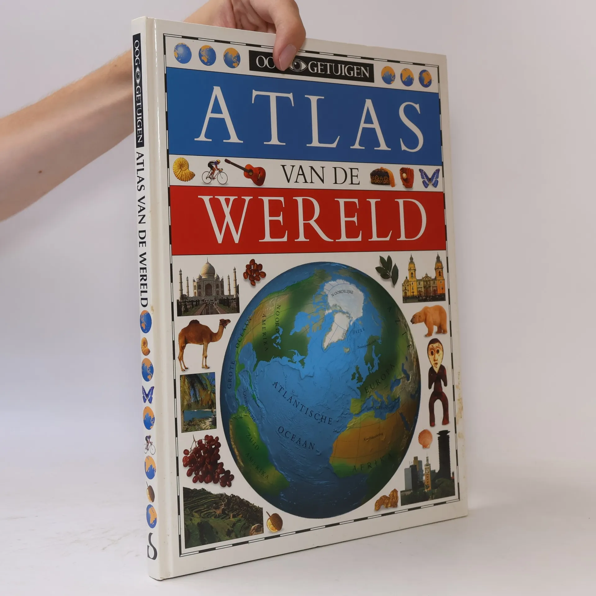
Part of growing up is learning how you fit in--to a family, a town, a country, and a larger world. This top-notch atlas from Dorling Kindersley helps children explore the larger context of their place on planet Earth. The book's introduction discusses Earth's position in space, the forces that shape the Earth's surface, and world population patterns. Each continent is shown on a global map, with information about its topography and important features. Sectional discussions of the continent follow, with a large map; a key to the special features; and small photographs, illustrations, and explanations of interesting sites, products, foods, legends, and history particular to each region. For example, the pages on Brazil include illustrations and captions on Carnival, coffee, gold mining, native peoples, Brazil nuts, dance music, and soccer. These colorful tidbits of information make each page come alive with the individual flavor of each country or region. The maps for this book were produced with the latest computer technology and reflect the recent political changes in countries such as Germany, the former Soviet Union, and the Baltic region. Also included are a glossary of geographical terms and a complete index to help young readers locate any state or country. This solid, attractive atlas is bound to appeal to future world explorers everywhere. (Ages 9 to 12)
Nákup knihy
Oog Getuigen: Atlas van de wereld, Andrew Heritage
- Jazyk

- Rok vydání
- 1997
- Vazba
- (kroužková)
Nikdo zatím neohodnotil.
- Titul
- Oog Getuigen: Atlas van de wereld
- Jazyk
- nizozemsky
- Autoři
- Andrew Heritage
- Vydavatel
- Standaard Uitgeverij
- Rok vydání
- 1997
- Vazba
- kroužková
- Počet stran
- 160
- ISBN10
- 9002205449
- ISBN13
- 9789002205446
- Série
- Štítky
- Cestování, Příručky a návody
- Anotace
- Part of growing up is learning how you fit in--to a family, a town, a country, and a larger world. This top-notch atlas from Dorling Kindersley helps children explore the larger context of their place on planet Earth. The book's introduction discusses Earth's position in space, the forces that shape the Earth's surface, and world population patterns. Each continent is shown on a global map, with information about its topography and important features. Sectional discussions of the continent follow, with a large map; a key to the special features; and small photographs, illustrations, and explanations of interesting sites, products, foods, legends, and history particular to each region. For example, the pages on Brazil include illustrations and captions on Carnival, coffee, gold mining, native peoples, Brazil nuts, dance music, and soccer. These colorful tidbits of information make each page come alive with the individual flavor of each country or region. The maps for this book were produced with the latest computer technology and reflect the recent political changes in countries such as Germany, the former Soviet Union, and the Baltic region. Also included are a glossary of geographical terms and a complete index to help young readers locate any state or country. This solid, attractive atlas is bound to appeal to future world explorers everywhere. (Ages 9 to 12)