

Více o knize
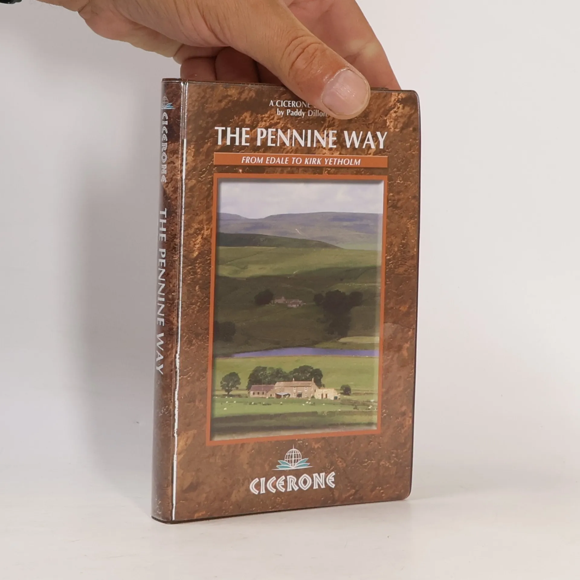
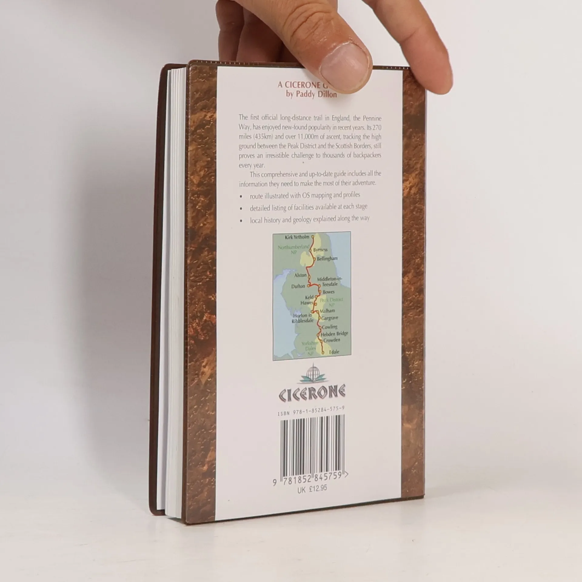
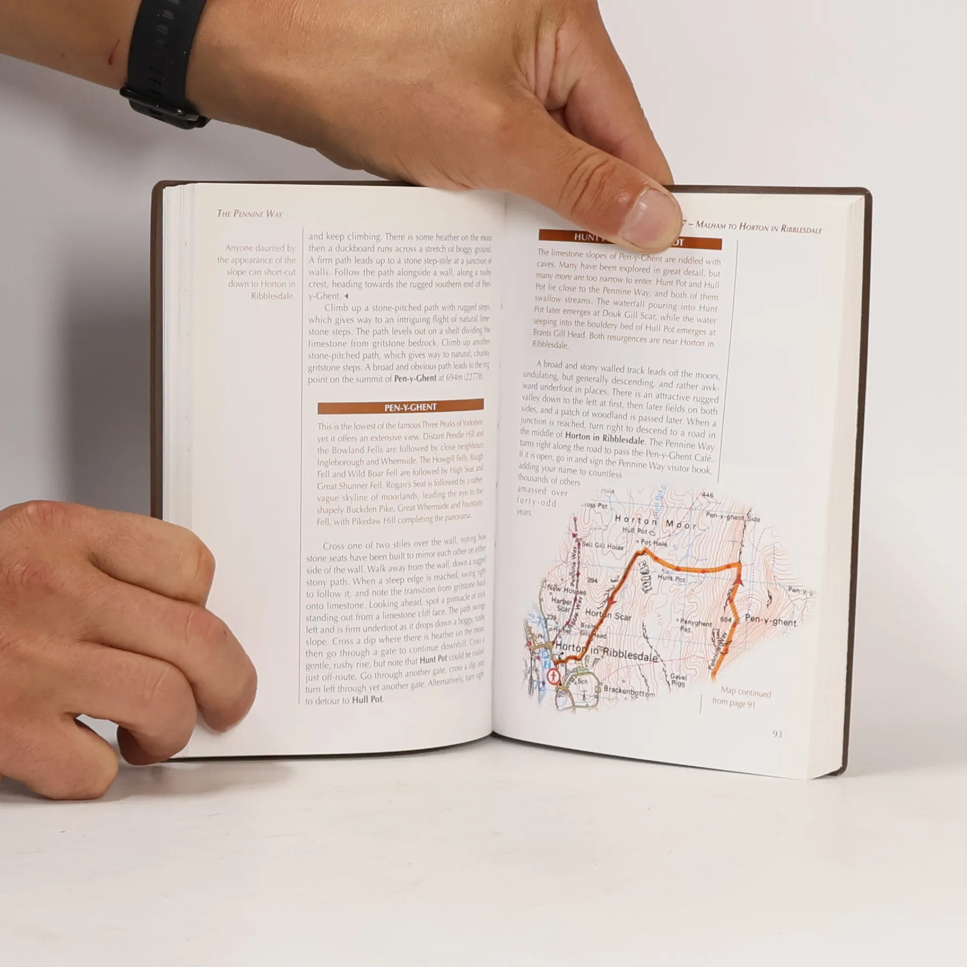
The Pennine Way is Britain's oldest and toughest long-distance footpath, stretching 427km (2651/2 miles) from Edale in Derbyshire to Kirk Yetholm in the Scottish Borders. As a National Trail, it offers adventurers a chance to experience the stunning landscapes of the North, featuring rolling hills, sweeping moorland, and glacial valleys. This guidebook breaks the route into 20 daily stages, ranging from 10.5 to 31.5km (61/2 to 191/2 miles), providing detailed step-by-step descriptions, 1:100,000 mapping, and insights into points of interest. It also includes practical advice on facilities, trip planning, and an alternative 15-day itinerary, along with useful contacts and accommodation listings in the appendices. A pocket-sized map booklet with OS 1:25,000 mapping is included, eliminating the need for multiple maps. The trail traverses three National Parks—Peak District, Yorkshire Dales, and Northumberland—and features highlights such as Cross Fell, the Cheviot Hills, Kinder Scout, Malham Cove, the North Pennines Area of Outstanding Natural Beauty, and Hadrian's Wall, a UNESCO World Heritage Site. With diverse overnight options and a sense of camaraderie among walkers, this guide is an essential resource for anyone looking to explore this iconic trail.
Nákup knihy
The Pennine Way, Paddy Dillon
- Jazyk

- Rok vydání
- 2010
- Vazba
- (měkká),
- Stav knihy
- Velmi dobrá
- Cena
- 179 Kč
Nikdo zatím neohodnotil.
- Titul
- The Pennine Way
- Jazyk
- anglicky
- Autoři
- Paddy Dillon
- Vydavatel
- Cicerone Press
- Rok vydání
- 2010
- Vazba
- měkká
- Počet stran
- 224
- ISBN10
- 1852845759
- ISBN13
- 9781852845759
- Série
- Štítky
- Příroda, Dobrodružství, Chůze
- Anotace
- The Pennine Way is Britain's oldest and toughest long-distance footpath, stretching 427km (2651/2 miles) from Edale in Derbyshire to Kirk Yetholm in the Scottish Borders. As a National Trail, it offers adventurers a chance to experience the stunning landscapes of the North, featuring rolling hills, sweeping moorland, and glacial valleys. This guidebook breaks the route into 20 daily stages, ranging from 10.5 to 31.5km (61/2 to 191/2 miles), providing detailed step-by-step descriptions, 1:100,000 mapping, and insights into points of interest. It also includes practical advice on facilities, trip planning, and an alternative 15-day itinerary, along with useful contacts and accommodation listings in the appendices. A pocket-sized map booklet with OS 1:25,000 mapping is included, eliminating the need for multiple maps. The trail traverses three National Parks—Peak District, Yorkshire Dales, and Northumberland—and features highlights such as Cross Fell, the Cheviot Hills, Kinder Scout, Malham Cove, the North Pennines Area of Outstanding Natural Beauty, and Hadrian's Wall, a UNESCO World Heritage Site. With diverse overnight options and a sense of camaraderie among walkers, this guide is an essential resource for anyone looking to explore this iconic trail.