

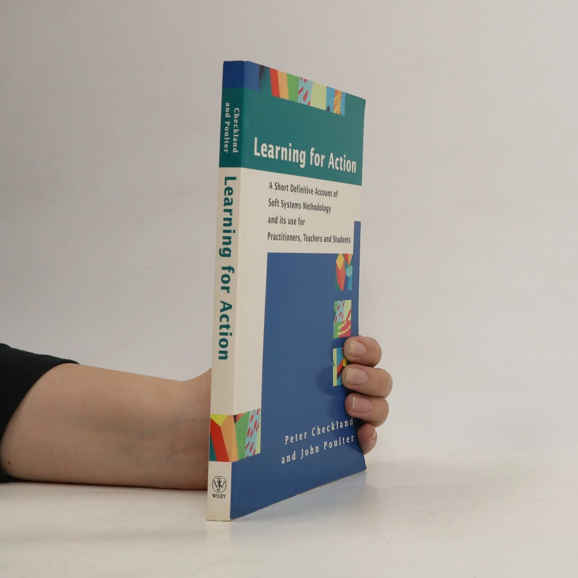
After an explanation of the book’s purpose, the authors provide in Part 1 first an overview of SSM as a whole, then a fleshed-out account with just enough detail and advice to enable the reader to set about using the approach in problem situations of concern. Part 2 describes examples of SSM in action and also pays special attention to one of the most common application that of work in the information system/information technology field. A final chapter in part 2 discusses the difficulties some people have in grasping the true nature of SSM, drawing attention to the inadequacies in much of the secondary literature. Appendices provide an outline of the theoretical considerations which underpin SSM, a guide to sources of further information and illustrations of some of SSM’s techniques.
John Poulter Knihy
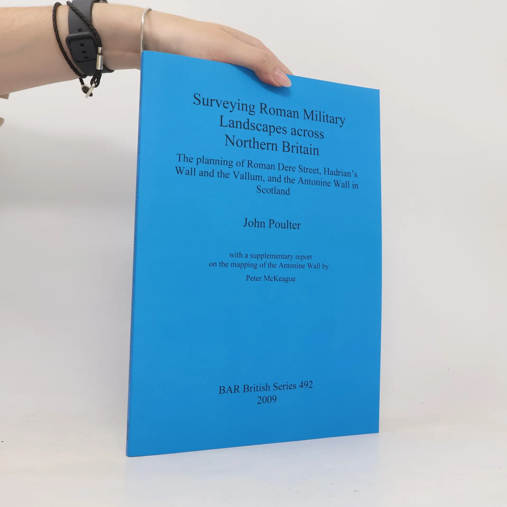
Surveying Roman Military Landscapes across Northern Britain
The Planning of Roman Dere Street, Hadrian's Wall and the Vallum, and the Antonine Wall in Scotland
- 141 stránek
- 5 hodin čtení
Surveying Roman Military Landscapes across Northern Britain. Preface (David J. Breeze); Introduction (John Poulter); Report No. 1: The Planning of Roman Dere Street from the Vale of York to Newstead by the Tweed (John Poulter); Report No. 2: The Planning of Hadrians Wall and the Vallum (John Poulter); Report No. 3: The Planning of the Antonine Wall in Scotland (John Poulter); Supplementary Mapping Matters with the Antonine Wall (Peter McKeague).
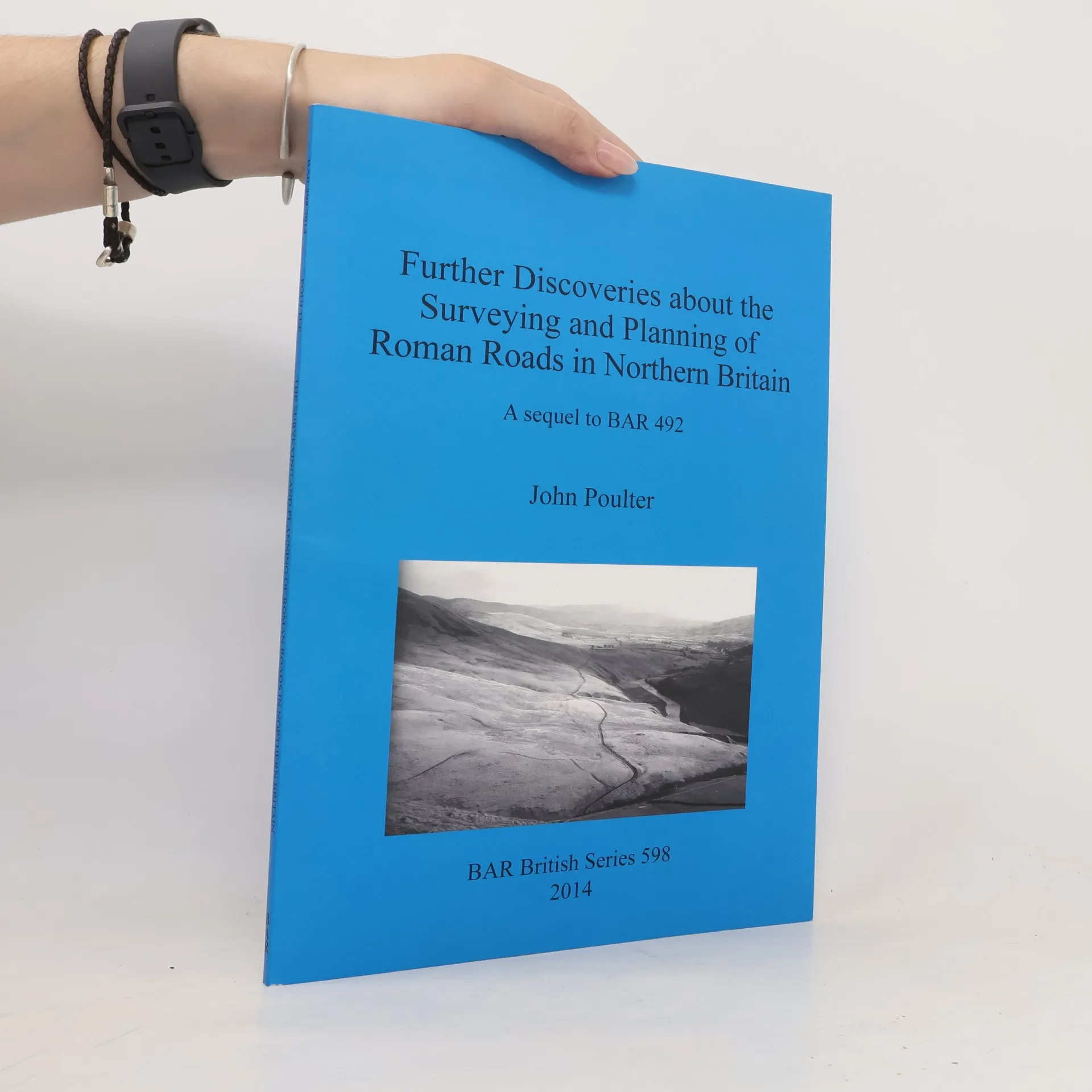
BAR British Series - 598: Further Discoveries about the Surveying and Planning of Roman Roads in Northern Britain
A Sequel to BAR 492
- 104 stránek
- 4 hodiny čtení
The monograph explores the historical significance of long-distance alignments in Northern England, particularly in relation to Roman Dere Street and Hadrian's Wall. Building on previous research, the author investigates the origins and methodologies behind these alignments, influenced by findings from Robert Entwistle. It reveals the complexities involved in adapting these alignments for Roman road construction, explaining deviations in their actual routes. The study focuses on four major Roman roads, analyzing their planning and construction processes in detail.