Oxford Student Atlas
- 176 stránek
- 7 hodin čtení
The most engaging 14-18 atlas, now updated and even better.


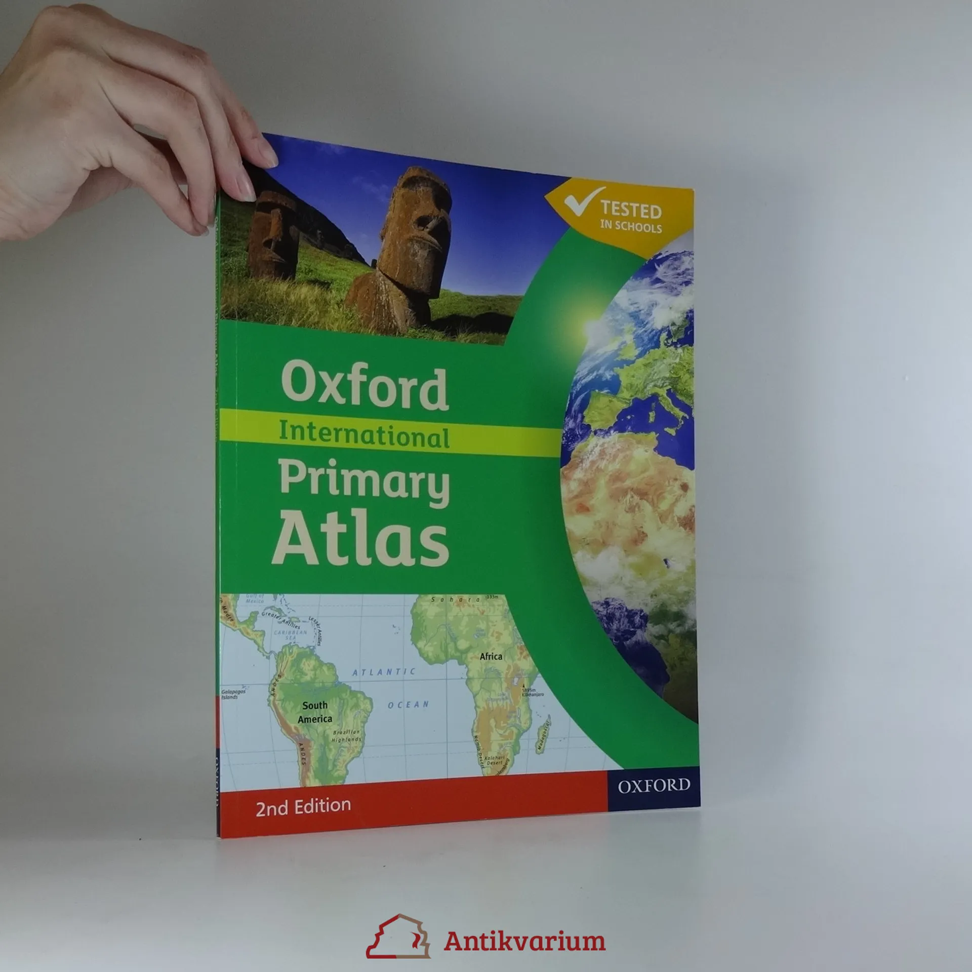
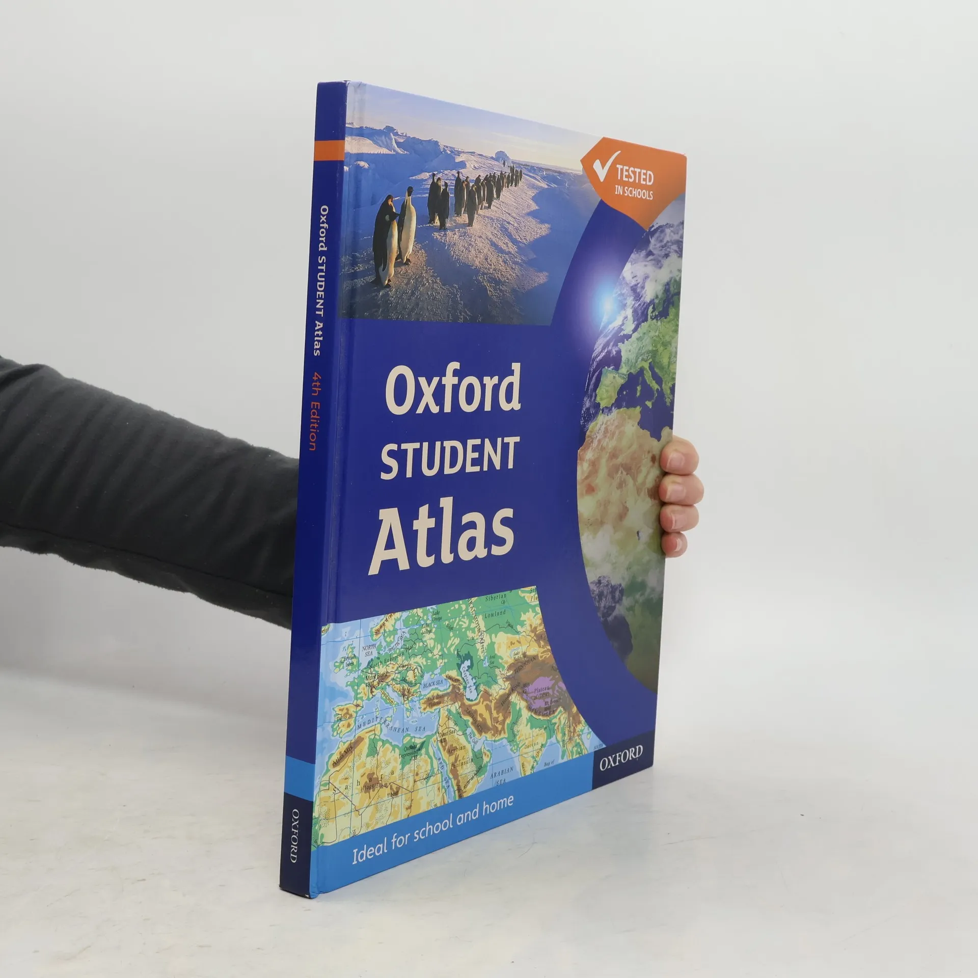
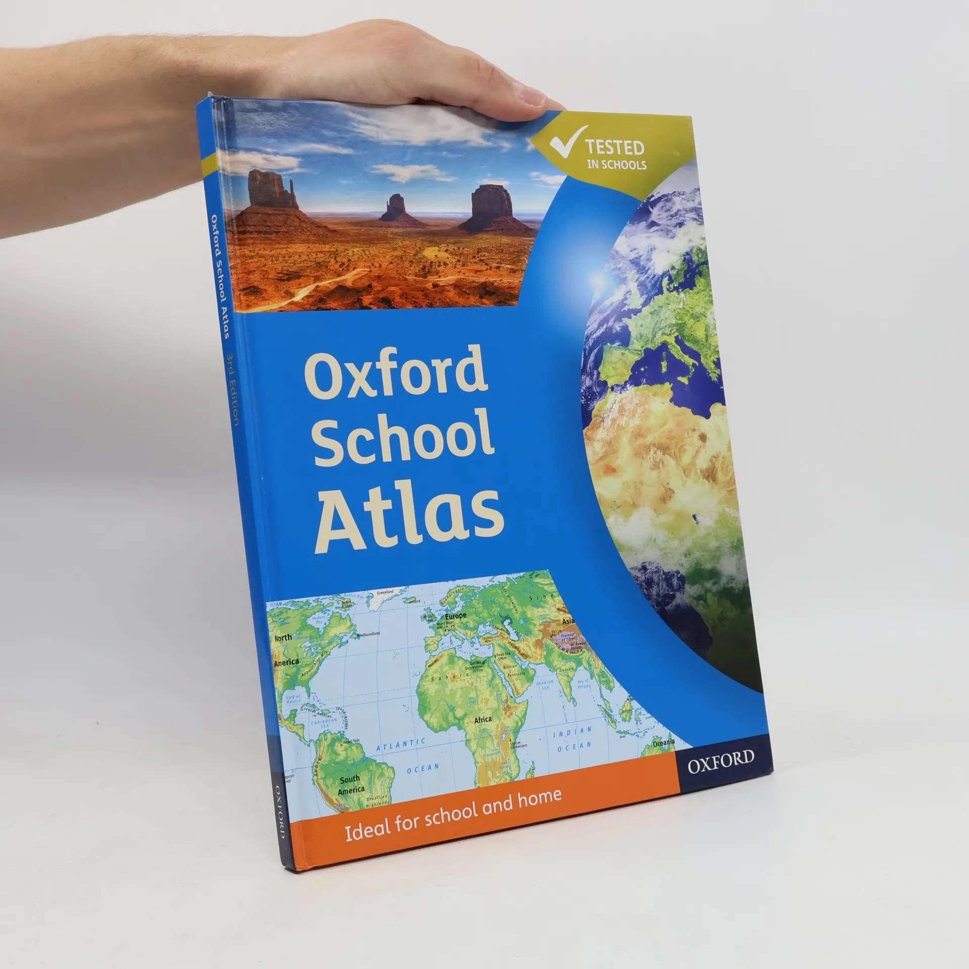


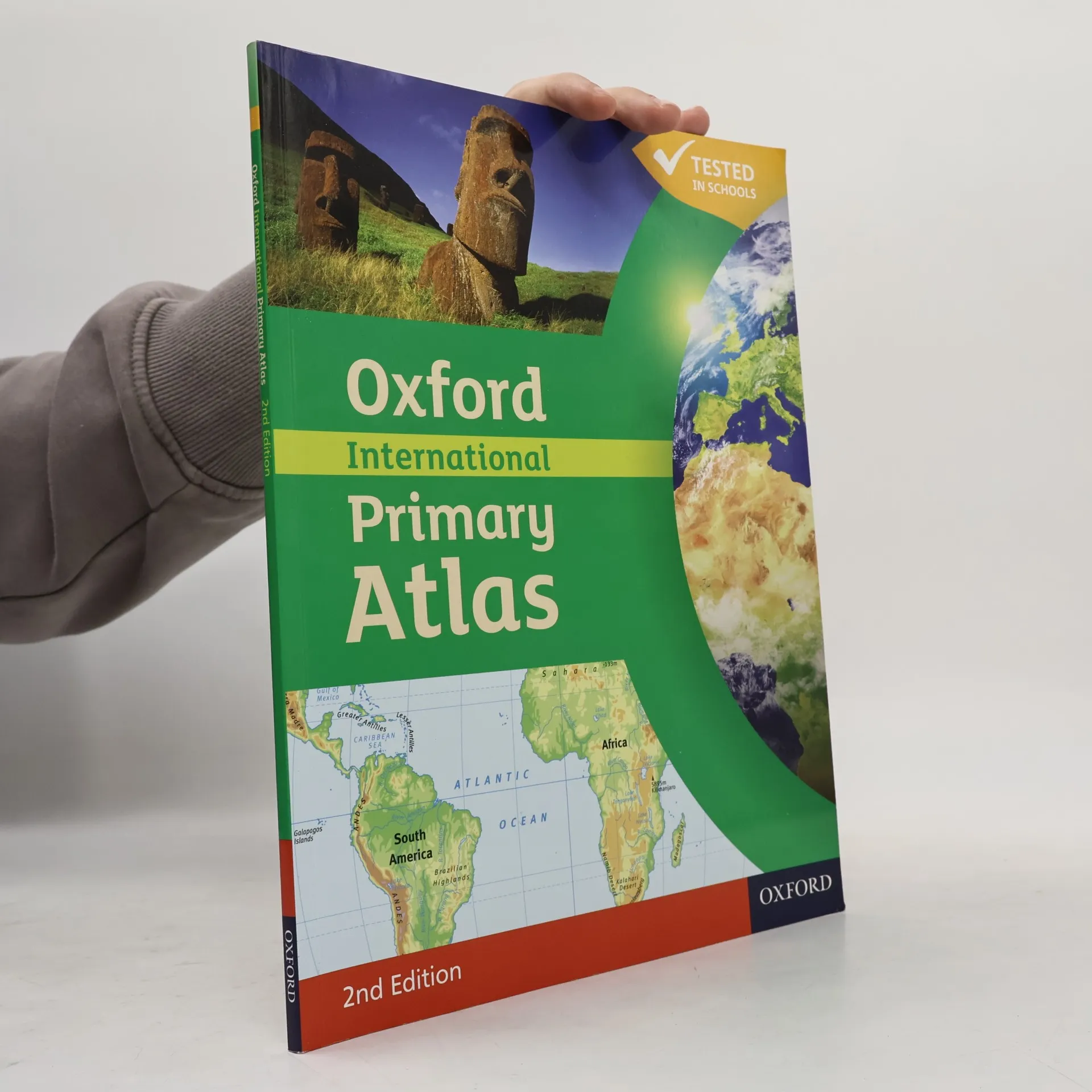
The most engaging 14-18 atlas, now updated and even better.
The most engaging reference atlas for ages 10-14.
The Oxford Infant Atlas is a bright and colourful artwork style atlas for all 4-7 year olds. The content reflects the requirements of the National Curriculum at Key Stage 1 and incorporates colourful maps specially drawn for young children as well as making use of stunning satellite images. There is an extended section on the United Kingdom and larger maps of Europe. The Index lists all the place names which children must know at Key Stage 1.
Accessible and informative world atlas for all primary age children
The Oxford International Student Atlas uses the latest technology to create an accurate and up-to-date atlas, ideal for use around the world. Comprehensive coverage of the countries and oceans of the world, together with an eight-page world statistical section Clear and colourful continental thematic maps illustrating a variety of subjects New maps on motivating topics such as cyberspace, globalisation, international alliances, and the world's most exciting holiday destinations make the atlas an ideal resource for young geographers Easy-to-use features include a multi-access contents page, a two-colour index of place names, and flags of the world at a usable size