

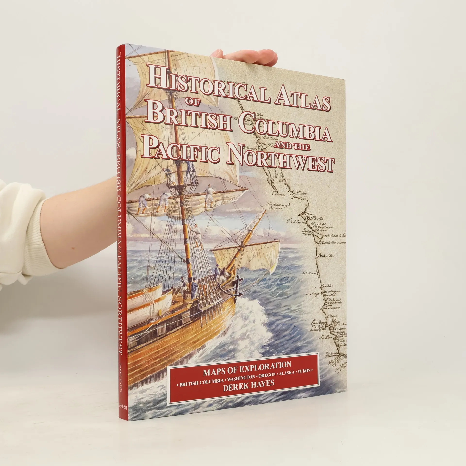
Historical Atlas of British Columbia and the Pacific Northwest
- 208 stránek
- 8 hodin čtení
Here is history from a geographical viewpoint! For the first time, many old maps of British Columbia and the Pacific Northwest have been compiled into a single atlas, showcasing over 320 original maps from four centuries of exploration and discovery. This unique collection includes maps from explorers and navigators, native maps, and others selected for their historical significance. The atlas features a variety of maps, including imaginary, political boundary, military, bird's eye, gold rush, railway, and Hudson's Bay Company maps, all reproduced from hand-drawn or engraved originals. Each map is accompanied by historical context and explanations of its creation. Notable explorers such as Francis Drake, Vitus Bering, James Cook, and Lewis and Clark contributed to the geographical knowledge of this region, filling in one of the last gaps on the world map. The atlas contains high-quality reproductions of 335 maps, with 180 in color and 155 in black and white, along with 60 illustrations, including modern and historical photographs. Printed on acid-free Japanese matt art paper, this book is a stunning addition to any library. The author, Derek Hayes, has extensively researched old maps of the Pacific Northwest, traveling to archives and libraries worldwide to compile this remarkable collection.