Delorme, a travel planning resource. More than just a great place to purchase DeLorme mapping software, the earth mate GPS and Atlas & gazetteers for every state. You'll find a rich assortment of travel planning items, guide books, globes, maps and atlases covering the entire world. Plus geography-related gift items for travelers, perfect for graduation, retirement, father's day, and holiday gifts.
DeLorme Mapping Company Knihy


Washington Atlas and Gazetteer (Atlas & Gazetteer Ser)
- 128 stránek
- 5 hodin čtení
Michigan atlas & gazetteer.
- 120 stránek
- 5 hodin čtení
Illinois Atlas & Gazetteer
Topographical Maps of Entire States Showing Back Roads and Recreational Sites
- 96 stránek
- 4 hodiny čtení
Another great DeLorme topographic atlas but of Illinois ? How much elevation variation has this state? A fair bit. And the contour interval is set at 30 feet. These 1:150,000 scale maps include much else fishing, museums, historic sites. 11x15.5 Annotation copyright Book News, Inc. Portland, Or.
Florida atlas & gazetteer
- 103 stránek
- 4 hodiny čtení
New York State Atlas and Gazetteer (State Atlas & Gazetteer)
- 104 stránek
- 4 hodiny čtení
The New Hampshire Atlas and Gazetteer
- 88 stránek
- 4 hodiny čtení
Vermont Atlas & Gazetteer
- 88 stránek
- 4 hodiny čtení
Pennsylvania atlas & gazetteer.
- 96 stránek
- 4 hodiny čtení
DeLorme's Atlas and Gazetteer Series is America's most popular line of recreational maps! Each atlas covers an individual state in its entirety with detailed, full-color topographic maps. Detail includes back roads, hidden lakes, boat ramps, hiking trails, campgrounds, public lands, forests, wetlands and more. And, the Gazetteer sections feature page after page of information on places to go and things to do. These atlases are year-round favorites with outdoors enthusiasts and anyone who likes to leave the main roads behind.
Minnesota Atlas & Gazetteer
- 96 stránek
- 4 hodiny čtení
DeLorme's Atlas and Gazetteer Series is America's most popular line of recreational maps! Each atlas covers an individual state in its entirety with detailed, full-color topographic maps. Detail includes back roads, hidden lakes, boat ramps, hiking trails, campgrounds, public lands, forests, wetlands and more. And, the Gazetteer sections feature page after page of information on places to go and things to do. These atlases are year-round favorites with outdoors enthusiasts and anyone who likes to leave the main roads behind.
Virginia Atlas and Gazetteer (State Atlas & Gazetteer)
- 80 stránek
- 3 hodiny čtení
DeLorme's Atlas and Gazetteer Series is America's most popular line of recreational maps! Each atlas covers an individual state in its entirety with detailed, full-color topographic maps. Detail includes back roads, hidden lakes, boat ramps, hiking trails, campgrounds, public lands, forests, wetlands and more. And, the Gazetteer sections feature page after page of information on places to go and things to do. These atlases are year-round favorites with outdoors enthusiasts and anyone who likes to leave the main roads behind.
Texas Atlas and Gazetteer
Detailed Maps of the Entire State (State Atlas & Gazetteer S.)
- 156 stránek
- 6 hodin čtení
DeLorme's Atlas and Gazetteer Series is America's most popular line of recreational maps! Each atlas covers an individual state in its entirety with detailed, full-color topographic maps. Detail includes back roads, hidden lakes, boat ramps, hiking trails, campgrounds, public lands, forests, wetlands and more. And, the Gazetteer sections feature page after page of information on places to go and things to do. These atlases are year-round favorites with outdoors enthusiasts and anyone who likes to leave the main roads behind.
Tennessee/Atlas and Gazetteer
- 72 stránek
- 3 hodiny čtení
DeLorme's Atlas and Gazetteer Series is America's most popular line of recreational maps! Each atlas covers an individual state in its entirety with detailed, full-color topographic maps. Detail includes back roads, hidden lakes, boat ramps, hiking trails, campgrounds, public lands, forests, wetlands and more. And, the Gazetteer sections feature page after page of information on places to go and things to do. These atlases are year-round favorites with outdoors enthusiasts and anyone who likes to leave the main roads behind.
Southern and Central California Atlas and Ga (State Atlas & Gazetteer)
- 128 stránek
- 5 hodin čtení
DeLorme's Atlas and Gazetteer Series is America's most popular line of recreational maps! Each atlas covers an individual state in its entirety with detailed, full-color topographic maps. Detail includes back roads, hidden lakes, boat ramps, hiking trails, campgrounds, public lands, forests, wetlands and more. And, the Gazetteer sections feature page after page of information on places to go and things to do. These atlases are year-round favorites with outdoors enthusiasts and anyone who likes to leave the main roads behind.
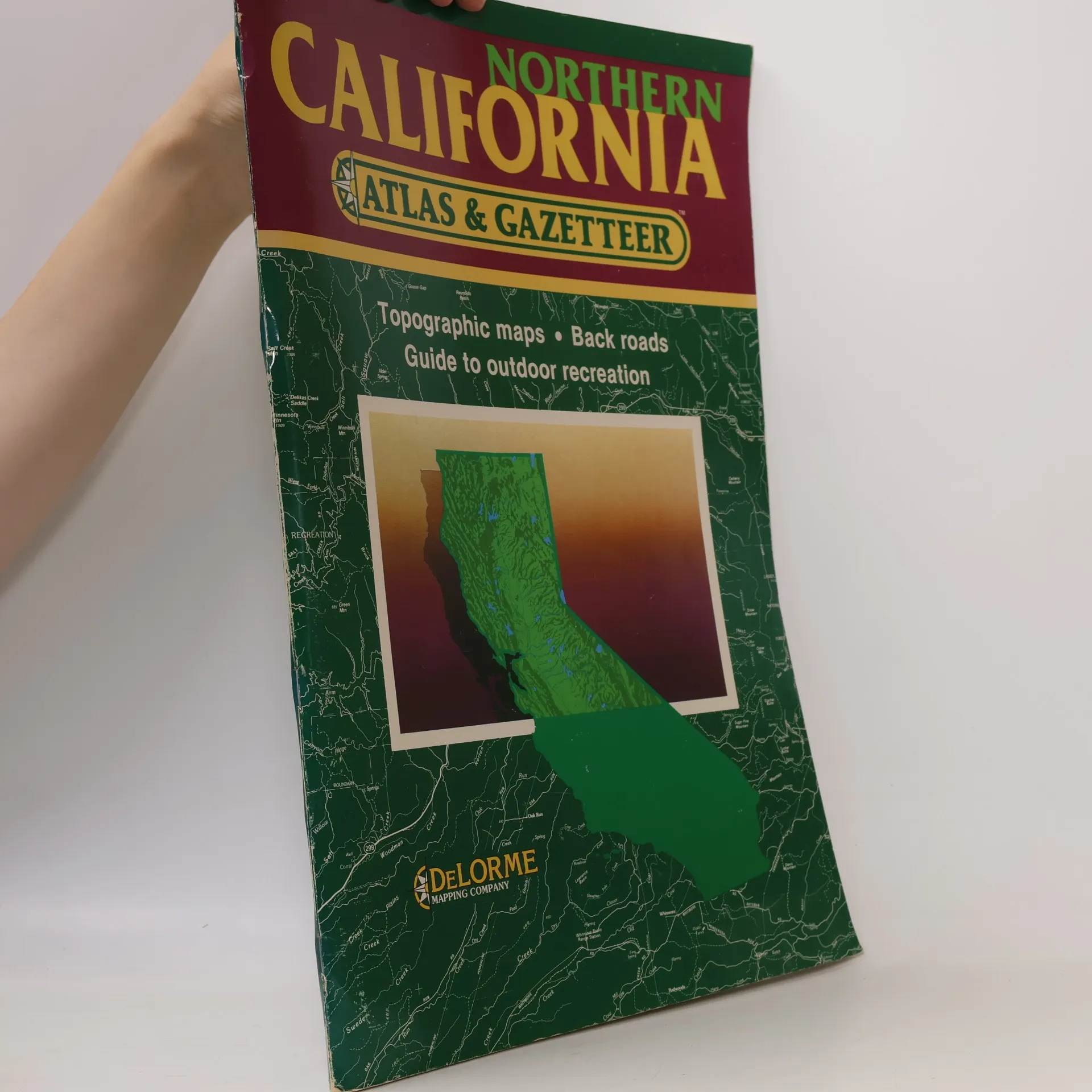
State Atlas & Gazetteer: Northern California Atlas & Gazetteer
Topographic Maps, Back Roads, Guide to Outdoor Recreation
- 127 stránek
- 5 hodin čtení