Knihobot

Mark Monmonier

    2. únor 1943

    Mark Monmonier je autorem, jehož práce zkoumají geografii a s ní spojené informace s bystrým analytickým okem a nečekaným smyslem pro humor. Prostřednictvím svých textů, které kombinují hlubokou studii s hravým přístupem, zpochybňuje naše zažité představy o světě kolem nás. Jeho díla vybízejí čtenáře k zamyšlení nad tím, jak jsou informace prezentovány a jak mohou být interpretovány. Monmonier nabízí jedinečnou perspektivu na toponymii a geografické informační systémy, která osvětluje složitost zdánlivě jednoduchých konceptů.

    Patents and Cartographic Inventions
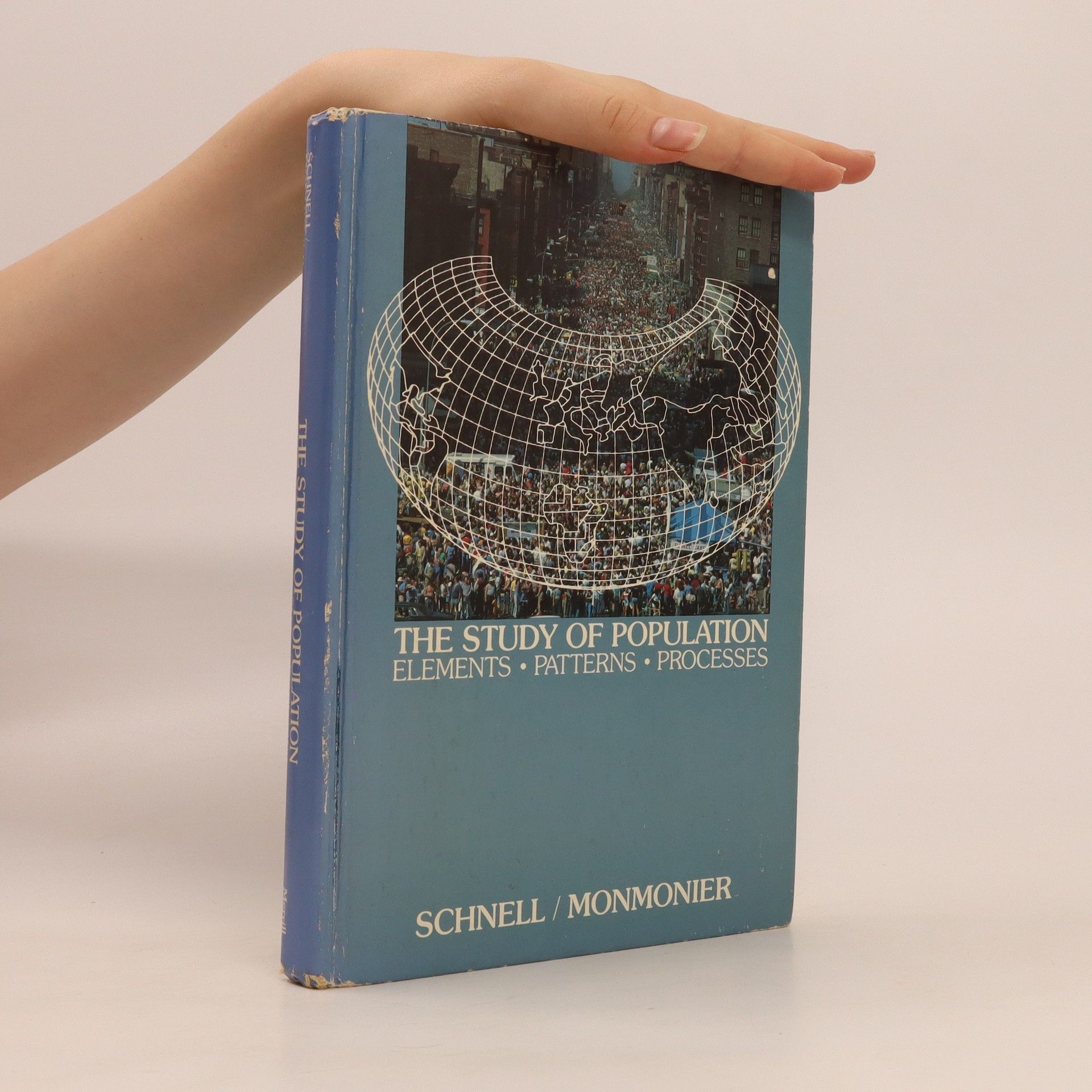
    The Study of Population
    No Dig, No Fly, No Go
    Clock & Compass: How John Byron Plato Gave Farmers a Real Address
    Proč mapy lžou
    • Proč mapy lžou

      • 221 stránek
      • 8 hodin čtení
      3,6(904)Ohodnotit

      Našim čtenářům se dostává do rukou kniha, která zřejmě mnohým sejme z očí brýle růžového mámení o pravdivosti a spolehlivosti map. Svěžím jazykem napsaný text nás uvede do mnoha záludností i překvapivých vysvětlení, která čekají na každého, kdo mapu tvoří, prohlíží si, hodnotí a používá ji. Ukazuje se, že mapa je stejně ostrou zbraní jako slovo. Nakonec „kartografický“ jazyk popisuje skutečnost ne zvukovými, ale grafickými prostředky podle jisté konvence. Tak jako slovo může mít více významů, obzvláště v různých souvislostech, tak i interpretace mapy, přes zdánlivou jednoznačnost, nabízí podobně nepřeberné množství možností. Stačí jen chtít. A protože slovo i mapa vycházejí od konkrétního člověka, mějme vždy na paměti, že za každou „objektivní“ informací se skrývá „subjekt“ tvůrce. Právě na tyto „lidské“ aspekty map autor knihy upozorňuje tónem, který nezapře jeho zkušený ironický nadhled nad stránkami lidské povahy, jež se cestami individuálních možností, schopností, tužeb a zájmů tvůrců promítá do každé mapy. Posuďte sami a společně s autorem si odpovězte na otázku – musí mapy lhát nebo to jen chtějí jejich tvůrci? V knize, mapách i životě naleznete inspirace, které nutí k zamyšlení. A co dál? Chce to mít jen trochu zdravé
      Proč mapy lžou
    • A city guy who aspired to be a farmer, John Byron Plato took a three-month winter course in agriculture at Cornell before starting high school, which he left a year before graduation to fight in the Spanish-American War. He worked as a draftsman, ran a veneers business, patented and manufactured a parking brake for horse-drawn delivery wagons, taught school, and ran a lumber yard. In his early thirties he bought some farmland north of Denver, Colorado, and began raising Guernsey cattle, which he advertised for sale in the local paper. When an interested buyer eager to see his calves couldn’t find his farm, Plato realized that an RFD postal address was only good for delivering mail.Plato’s solution was a map-and-directory combo that used direction and distance from a local business center to give farmers a real address, just like city dwellers. He patented his invention called the “Clock System” and tried to sell it to the Post Office Department. What follows is a tale of persistence and failure as rural farming declined and technology and capitalism overtook John Byron Plato’s chances at geographic immortality.

      Clock & Compass: How John Byron Plato Gave Farmers a Real Address
    • Some maps help us find our way; others restrict where we go and what we do. These maps control behavior, regulating activities from flying to fishing, prohibiting students from one part of town from being schooled on the other, and banishing certain individuals and industries to the periphery. This title tackles this aspect of mapping.

      No Dig, No Fly, No Go
    • Patents and Cartographic Inventions

      A New Perspective for Map History

      • 282 stránek
      • 10 hodin čtení

      This book explores the US patent system, which helped practical minded innovators establish intellectual property rights and fulfill the need for achievement that motivates inventors and scholars alike. In this sense, the patent system was a parallel literature: a vetting institution similar to the conventional academic-scientific-technical journal insofar as the patent examiner was both editor and peer reviewer, while the patent attorney was a co-author or ghost writer. In probing evolving notions of novelty, non-obviousness, and cumulative innovation, Mark Monmonier examines rural address guides, folding schemes, world map projections, diverse improvements of the terrestrial globe, mechanical route-following machines that anticipated the GPS navigator, and the early electrical you-are-here mall map, which opened the way for digital cartography and provided fodder for patent trolls, who treat the patent largely as a license to litigate. 

      Patents and Cartographic Inventions