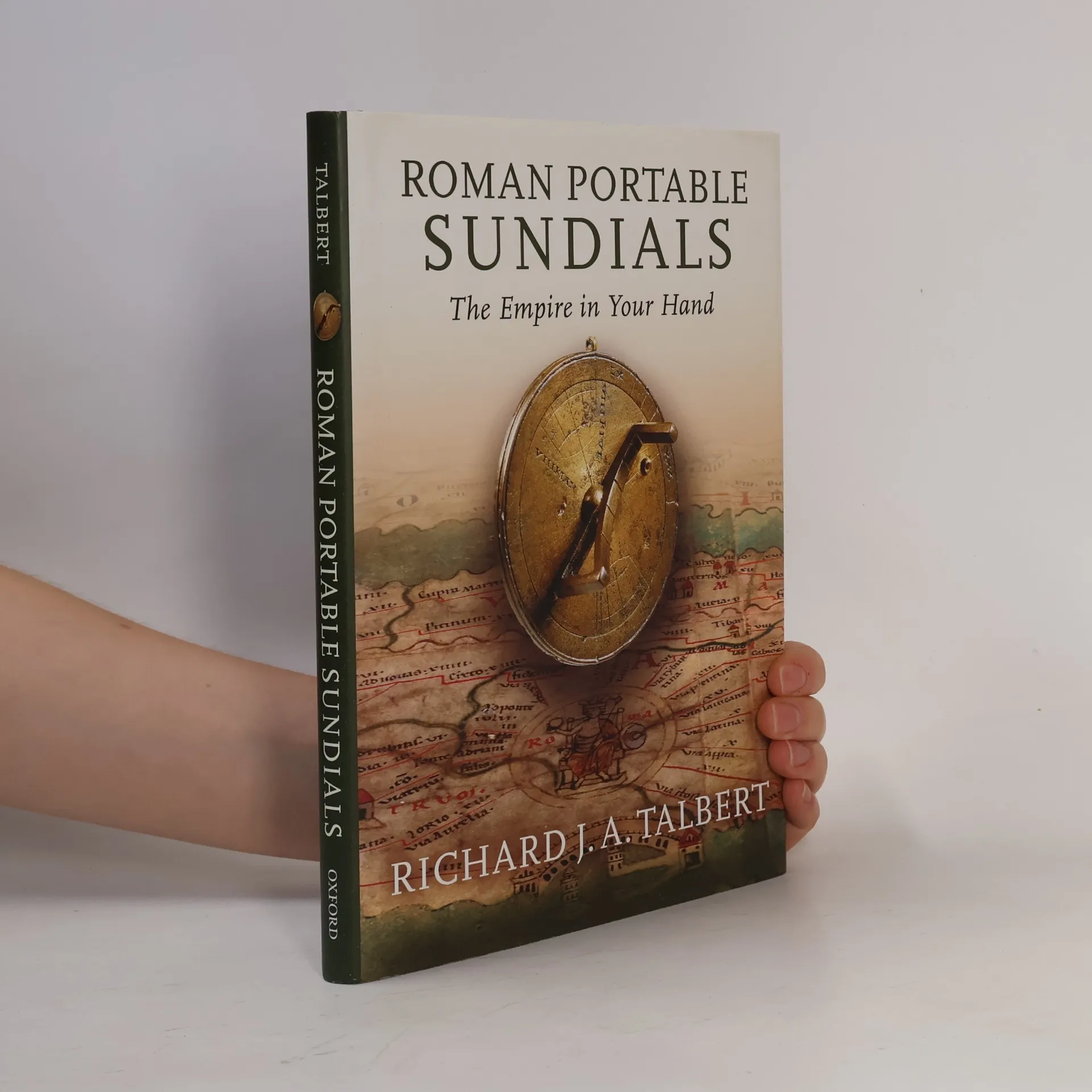
In an unscientific era when maps were rare, ancient Romans envisioned their vast empire through various means, including an ingenious type of portable sundial that has gone largely unnoticed. By the first century BCE, Romans recognized the need to track the sun's passage across the sky, which required knowledge of latitude and the time of year. These portable sundials, crafted in bronze, were adjustable for changes in latitude expected on long journeys, such as from Britain to Spain or Alexandria to Rome. They featured lists of twenty to thirty cities or regions with specific latitudes, offering insights into the mental world-map and self-identity of those who could visualize Rome's empire latitudinally. The sixteen known sundials share common features, but designers sought to enhance them. Comparisons with modern calculations reveal that many latitudes listed are incorrect, affecting performance. Richard Talbert suggests that owners may have valued these sundials more as prestige objects reflecting scientific awareness and imperial mastery of time and space rather than for practical use. In retrospect, they can be seen as precursors to later Islamic and European instruments and even today's luxury watches, which signify wealth and sophistication. Richly enhanced with photographs, line drawings, maps, a gazetteer, and a table of latitudes, this work finally brings these overlooked gadgets to light, revealing their untapped la
Richard J. A. Talbert Pořadí knih (chronologicky)
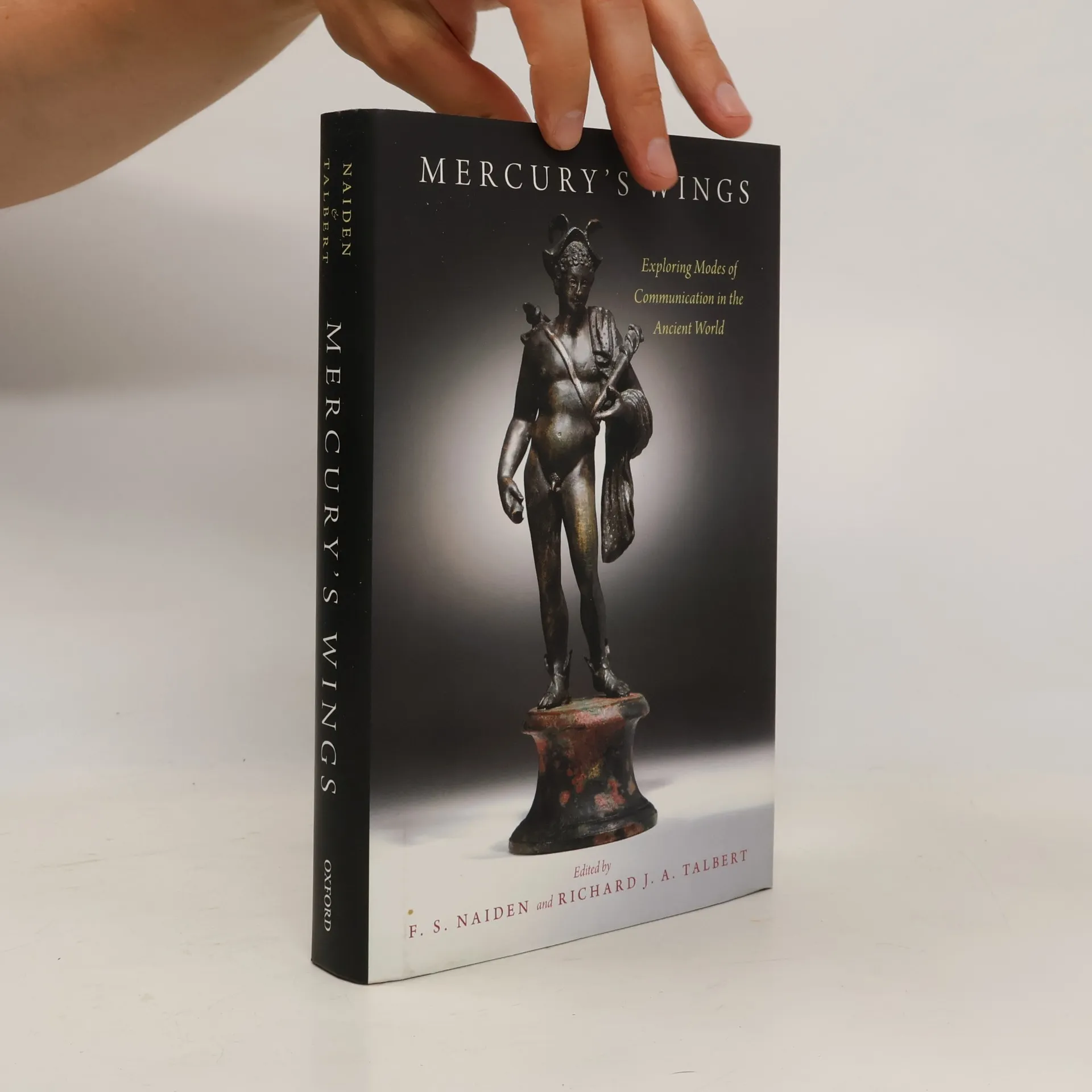

This volume of essays is the first dedicated to ancient communications, marking a significant milestone in the field. Previous studies have largely focused on communication within the Roman Empire, but this collection features 18 essays that highlight the broader importance and potential of the topic. Contributors from diverse disciplines, including art history, Assyriology, Classics, and Egyptology, explore communication not just as a means of information exchange, but also as a tool for religion, commerce, and culture. The essays cover various communication purposes, such as propaganda, celebration, profit, and administration, addressing networks and types of communication, as well as religious and imperial interactions. The geographical and temporal scope spans the Near East, Greece, and Rome over approximately 2,000 years, from the second millennium BCE to the rise of Christianity in the late Roman Empire. The essays are evenly divided among the Near East, Greece, Greece and Rome together, and the Roman Empire with its Persian and Indian rivals. Topics range from cultural history, such as Greek music and Roman art, to economic history in Mesopotamia and Rome, and traditional historical themes like diplomacy and war in the Mediterranean. Each essay incorporates recent developments in communication theory, enriching the understanding of ancient modes of communication.
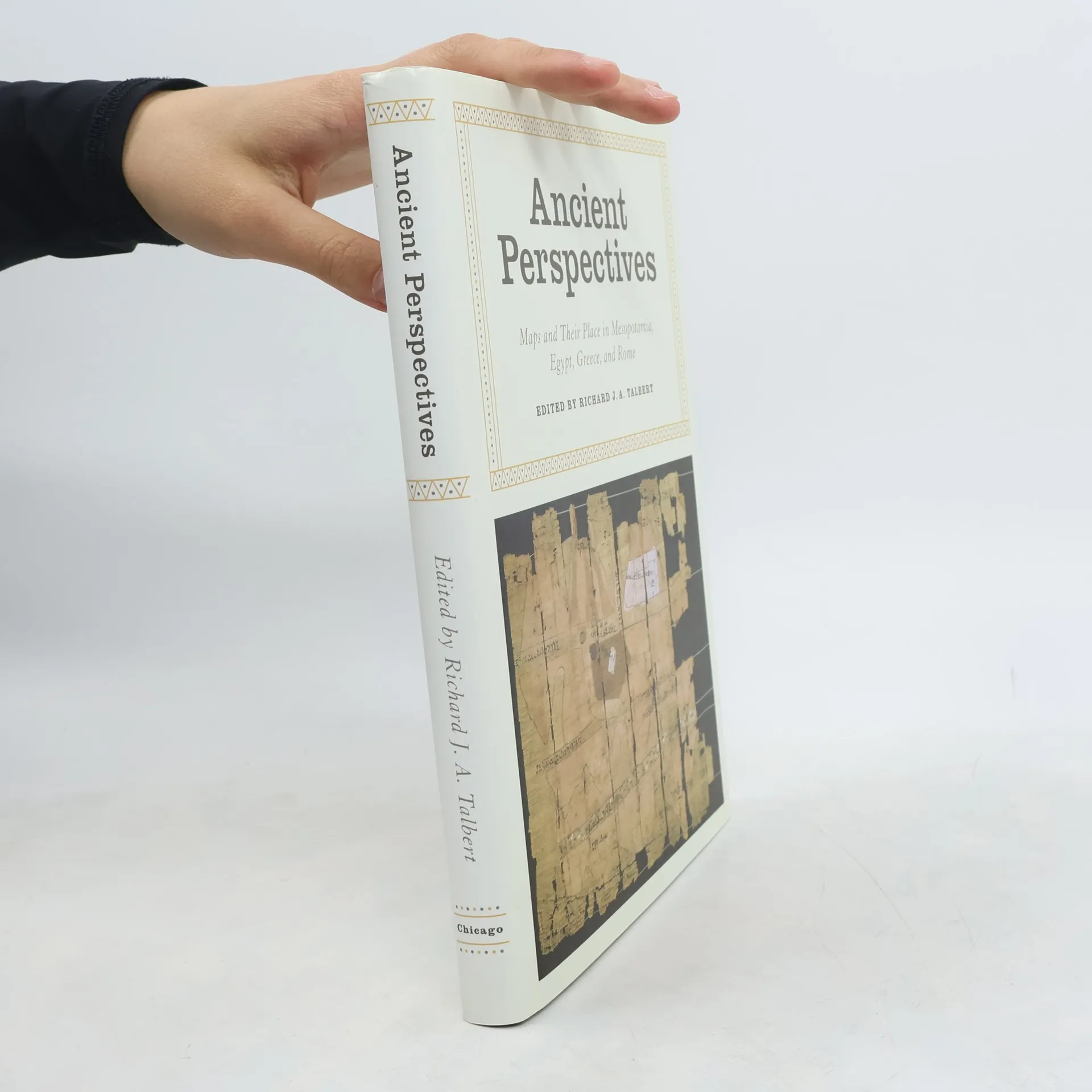
Ancient Perspectives
Maps and Their Place in Mesopotamia, Egypt, Greece, and Rome
- 264 stránek
- 10 hodin čtení
Ancient Perspectives encompasses a vast arc of space and time—Western Asia to North Africa and Europe from the third millennium BCE to the fifth century CE—to explore mapmaking and worldviews in the ancient civilizations of Mesopotamia, Egypt, Greece, and Rome. In each society, maps served as critical economic, political, and personal tools, but there was little consistency in how and why they were made. Much like today, maps in antiquity meant very different things to different people. Ancient Perspectives presents an ambitious, fresh overview of cartography and its uses. The seven chapters range from broad-based analyses of mapping in Mesopotamia and Egypt to a close focus on Ptolemy’s ideas for drawing a world map based on the theories of his Greek predecessors at Alexandria. The remarkable accuracy of Mesopotamian city-plans is revealed, as is the creation of maps by Romans to support the proud claim that their emperor’s rule was global in its reach. By probing the instruments and techniques of both Greek and Roman surveyors, one chapter seeks to uncover how their extraordinary planning of roads, aqueducts, and tunnels was achieved. Even though none of these civilizations devised the means to measure time or distance with precision, they still conceptualized their surroundings, natural and man-made, near and far, and felt the urge to record them by inventive means that this absorbing volume reinterprets and compares.
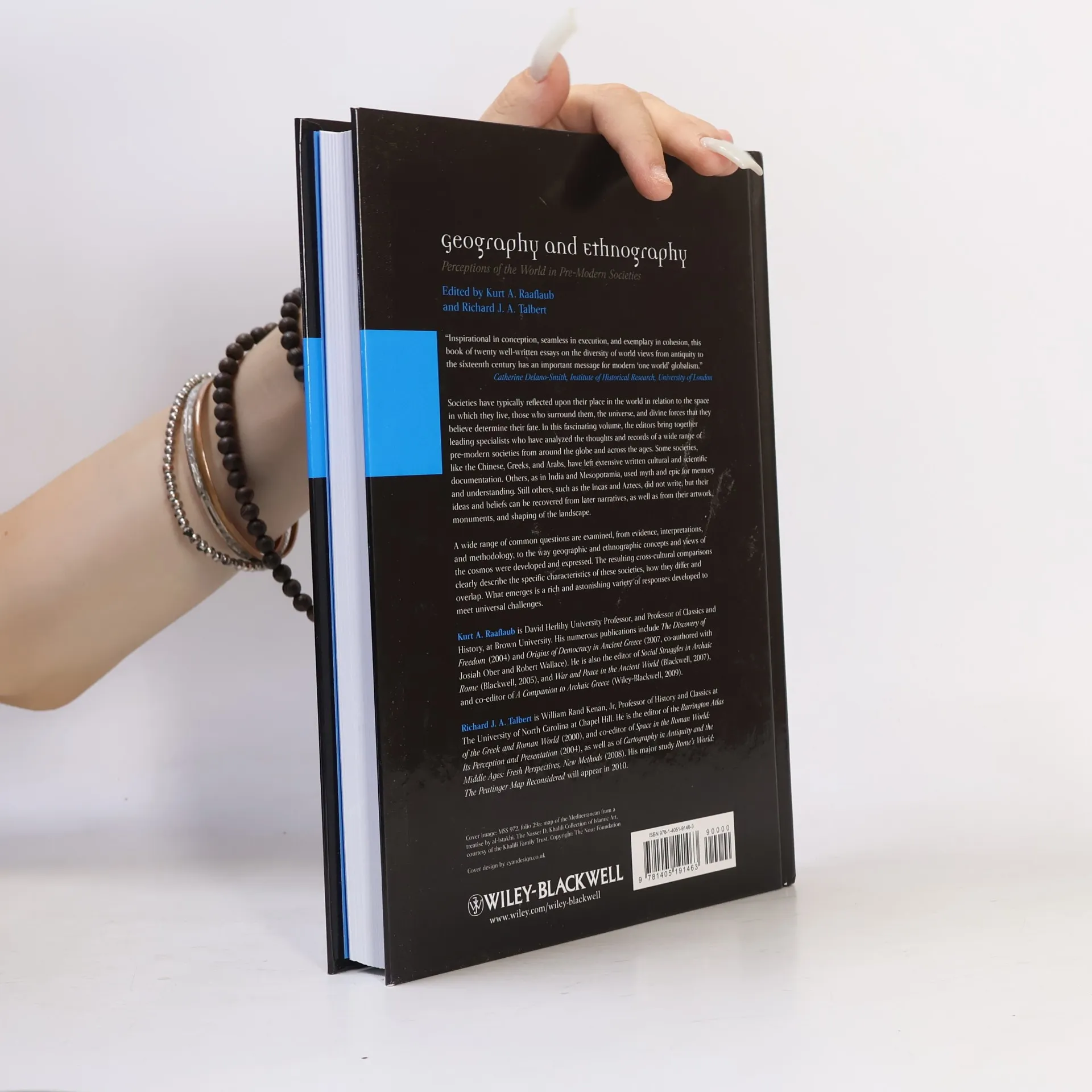
Ancient World: Comparative Histories: Geography and Ethnography
Perceptions of the World in Pre-Modern Societies
- 384 stránek
- 14 hodin čtení
This fascinating volume brings together leading specialists, who have analyzed the thoughts and records documenting the worldviews of a wide range of pre-modern societies.
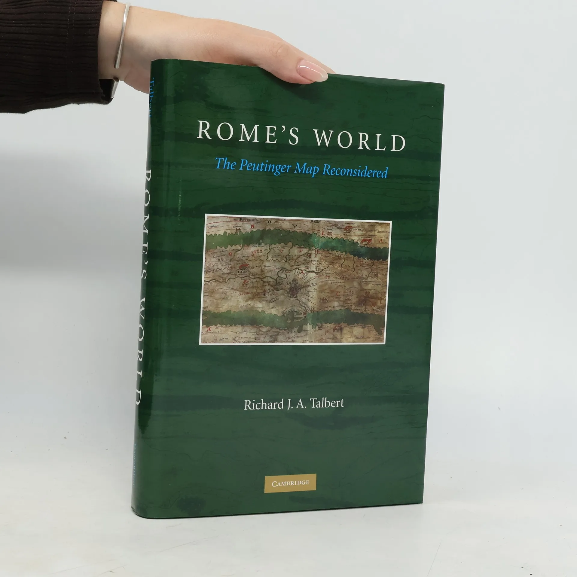
The Peutinger Map is the only map of the Roman world to come down to us from antiquity. An elongated masterpiece, full of colorful detail and featuring land routes across Europe, North Africa, and the Near East, it was rediscovered mysteriously around 1500 and then came into the ownership of Konrad Peutinger, for whom it is named. Today it is among the treasures of the Austrian National Library in Vienna. Richard Talbert’s study presented in Rome’s The Peutinger Map Reconsidered offers a long-overdue reinterpretation and appreciation of the map as a masterpiece of both mapmaking and imperial Roman ideology. Here, the ancient world’s traditional span, from the Atlantic to India, is dramatically remolded; lands and routes take pride of place, whereas seas are compressed. Talbert posits that the map’s true purpose was not to assist travelers along Rome’s highways, but rather to celebrate the restoration of peace and order by Diocletian’s Tetrarchy. Such creative cartography, he shows, influenced the development of medieval mapmaking. With the aid of an interactive database, this book enables readers to engage with the Peutinger Map in all of its fascinating immensity more closely than ever before.
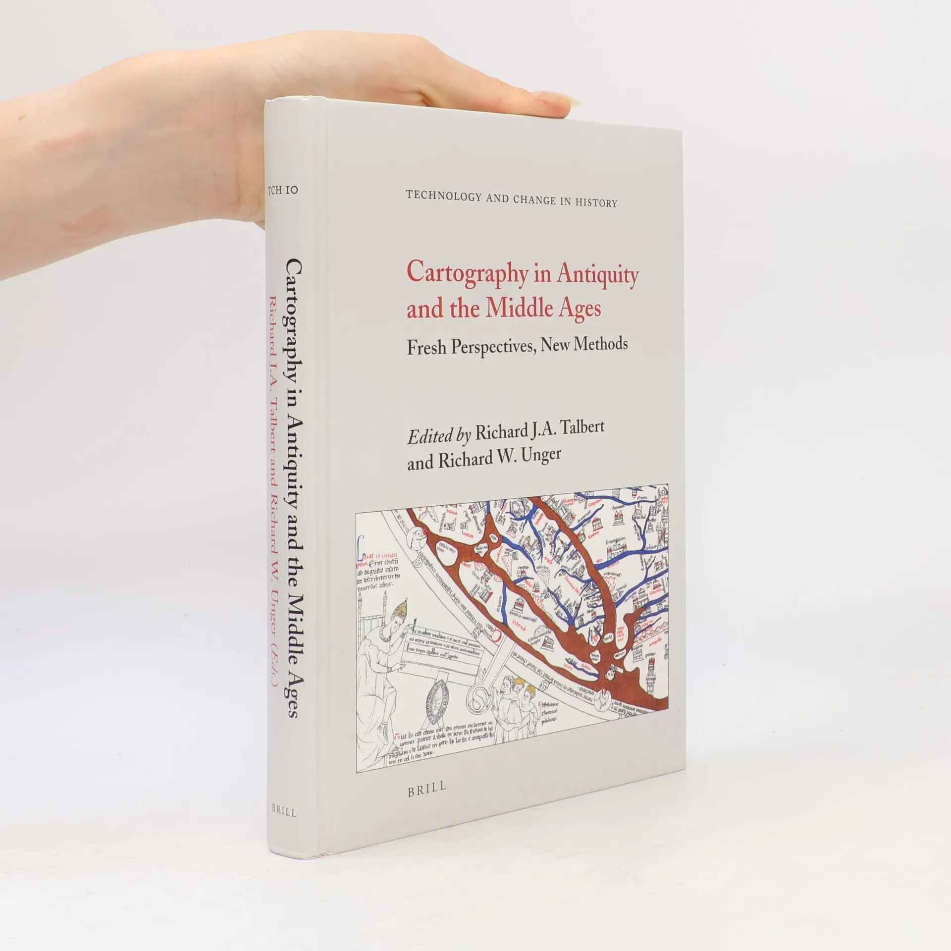
Technology and Change in History - 10: Cartography in Antiquity and the Middle Ages
Fresh Perspectives, New Methods
- 299 stránek
- 11 hodin čtení
In scope, this book matches The History of Cartography , vol. 1 (1987) edited by Brian Harley and David Woodward. Now, twenty years after the appearance of that seminal work, classicists and medievalists from Europe and North America highlight, distill and reflect on the remarkably productive progress made since in many different areas of the study of maps. The interaction between experts on antiquity and on the Middle Ages evident in the thirteen contributions offers a guide to the future and illustrates close relationships in the evolving practice of cartography over the first millennium and a half of the Christian era.Contributors are Emily Albu, Raymond Clemens, Lucy Donkin, Evelyn Edson, Tom Elliott, Patrick Gauthier Dalché, Benjamin Kedar, Maja Kominko, Natalia Lozovsky, Yossef Rapoport, Emilie Savage-Smith, Camille Serchuk, Richard Talbert, and Jennifer Trimble.
Barrington Atlas of the Greek and Roman World II.
Map-by-Map Directory
Map-by-Map Directory A Map-by-Map Directory to the Barrington Atlas is a separate two-volume print edition of close to 1,500 pages. The Directory is designed to provide information about every place or feature in the Barrington Atlas. The section for each map comprises: a concise text drawing attention to special difficulties in mapping a region, such as extensive landscape change since antiquity, or uneven modern exploration. a listing of every name and feature on the map, with basic data about the period of occupation, the modern equivalents of ancient placenames, the modern country within which they are located, and brief references to relevant ancient testimony or modern studies. a bibliography of works cited. The Map-by-Map Directory is an essential accompaniment to the Barrington Atlas. As a uniquely rich, comprehensive, up-to-date distillation of evidence and scholarship, it has no match elsewhere and opens the way to an immense variety of further research initiatives
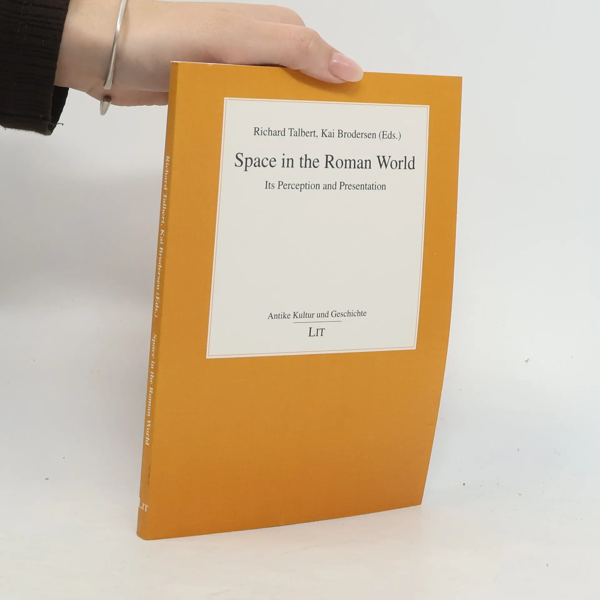
How was space perceived and presented in the Roman world? While it is tempting to assume that any modern historical atlas, with its maps of „the world as the Romans saw it“, gives a sufficient answer to these questions, recent research has suggested that the issue is more complex than this. To follow up such questions in more detail, the five original contributions to this volume, by leading experts from Britain, Germany, the United States, and Switzerland, discuss the tradition of scientific geography, Roman itinerary literature, and the Tabula Peutingeriana.