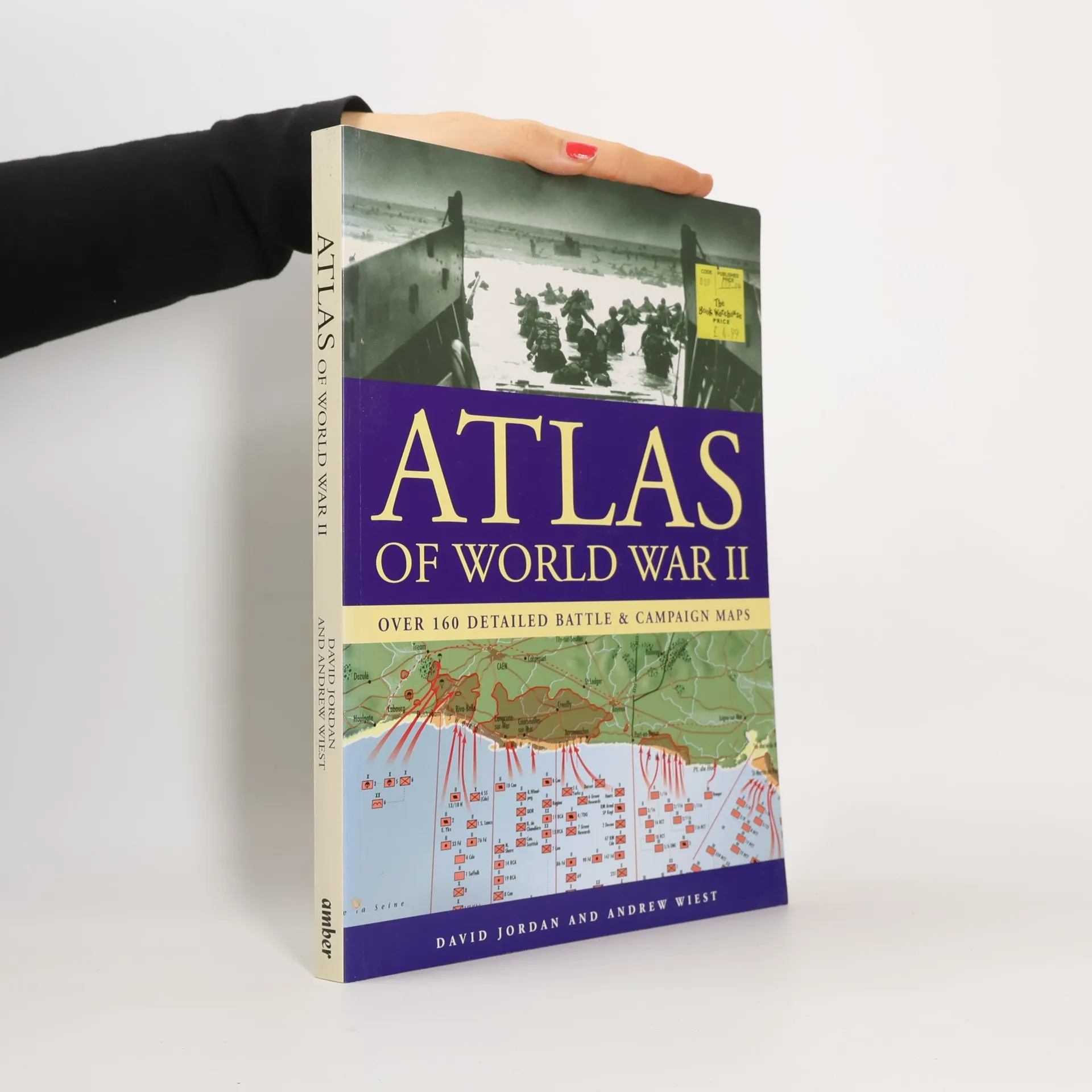
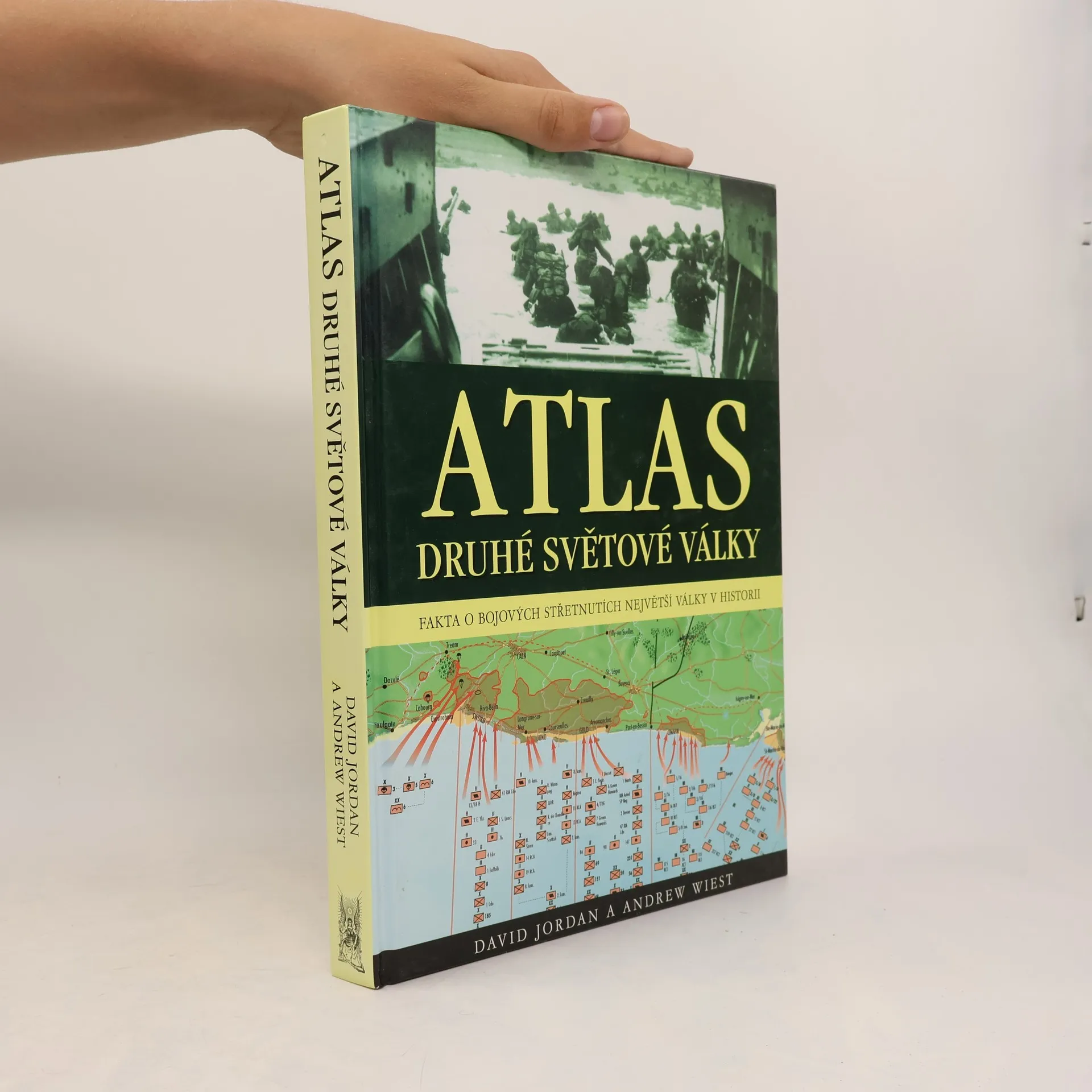
Atlas druhé světové války : fakta o bojových střetnutích na všech frontách
- 256 stránek
- 9 hodin čtení
Atlas barevných map nejvýznamnějších operací a bitev doplňují dobové fotografie z bojišť 2. světové války.


Atlas barevných map nejvýznamnějších operací a bitev doplňují dobové fotografie z bojišť 2. světové války.
1939-1945
After the first few months of World War I, the Western Front consisted of a relatively static line of trench systems which stretched from the coast of the North Sea southwards to the Swiss border.
From the Falkland Islands to the lakes of Africa, across the Eastern and Western Fronts, to the former German colonies in the Pacific, the World War I series provides a six-volume history of the battles and campaigns that raged on land, at sea and in the air. With the aid of over 300 black and white and colour photographs, complemented by full-colour maps, The Balkans, Italy & Africa provides a detailed guide to the background and conduct of the war in the Balkan, Italian and African theatres from the assassination of Archduke Franz Ferdinand in Sarajevo to the surrender of the Central Powers
"With updates from the author, specially commissioned maps and 50 new images, this is a concise overview of America's most divisive war."--
U-Boat includes accounts of the attacks by U-boat commanders and their consequences, and examines the response made by Britain and the United States in a desperate attempt to overcome the threat posed by submarine warfare.
With 160 colour maps, World War II Illustrated Atlas plots the course of the land, sea and air campaigns in fine detail, tracing the ebb and flow of the fortunes of both sides. Contents include the land, sea and air campaigns in North-West Europe, Italy, North Africa, Russia, South-East Asia and the Pacific, Atlantic, and Mediterranean.
Profiles aircraft carriers and their evolution from the early 1920s through to the present, provides first-hand accounts of missions, and includes seven gatefold illustrations.