This magnificent collection of truly EPIC WALKS brings together lots of Britain's most beautiful countryside with the long-distance trails that present the very best means of experiencing it through day-taster, short break and multi-day walking.
Ordnance Survey Knihy


The Ordnance Survey Great British Treasure Hunt
- 240 stránek
- 9 hodin čtení
Solve the clues and find the treasure in this puzzle adventure from the phenomenal bestselling Ordnance Survey Puzzle Books.
Each walk features a simple-to-follow route profile and accompanying description and pictures, and new-look walk mapping that makes it easier for the user to focus on the route and the points of interest along the way.
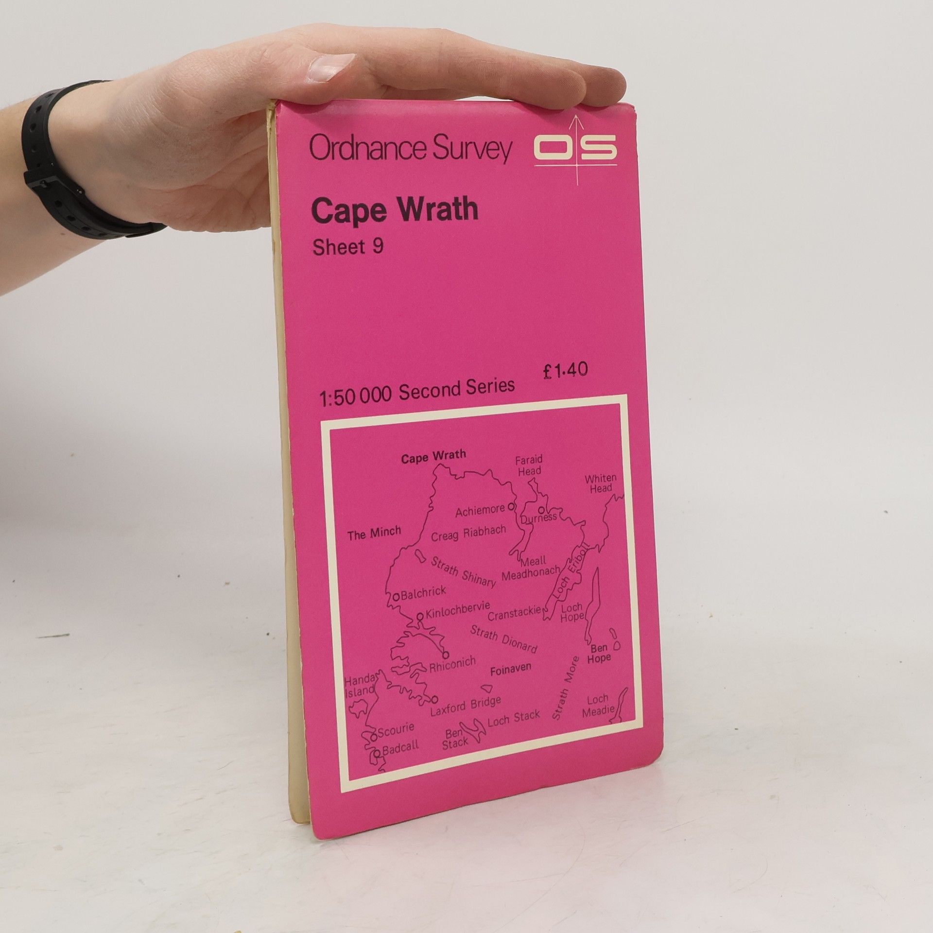
This map is part of the Landranger (Pink) series and is designed for people who really want to get to know an area. It includes the following information: tourist information, camping and caravan sites, picnic areas and viewpoints, and selected places of interest.
OS Explorer Active Maps The area covered is home to popular destinations such Admire the views of Derwent Water from the top of Catbells near Keswick. If you’re more energetically inclined. For a bigger challenge, standing at 3,054 ft above sea level, Skiddaw provides an easy in-road to mountain climbing, for occasional walkers looking to push their boundaries.
The OS Landranger Map series covers Great Britain with 204 detailed maps, perfect for day trips and short breaksEach map provides all the information you need to get to know your local area and includes places of interest, tourist information, picnic areas and camp sites, plus Rights of Way information for England and Wales.The Landranger map of Ben Nevis (including Fort William & Glen Coe) is a must-have for your next trip to the area. The area is famous for its challenging walks paid off by spectacular views. Explore Glen Coe, full of dramatic scenery due to the glen's volcanic origins. Some other major highlights Ben Nevis is the highest peak in Britain at 1,345m, taking on average 7-9 hours to reach its summit. You can also ride the Nevis Mountain Range Gondola, the only of its kind in the Britain, reaching heights of 650m allowing you to effortlessly enjoy the beautiful mountain range.
The Ordnance Survey Kids' Adventure Book
- 256 stránek
- 9 hodin čtení
*The brains behind The Ordnance Survey Puzzle Book and The Ordnance Survey Puzzle Tour of Britain, bring you the ultimate guide to adventure.* Perfect for ages seven and up, and the best introduction to map-reading, navigation and the great outdoors. Want to become an expert map-reader? Want to explore the great outdoors armed with hints and tips from the map creators themselves? Want to test your new-found skills with a host of challenging map puzzles? Then this is the book for you. Created by Ordnance Survey, who make all the iconic maps for the whole of Great Britain, this book will teach you how to read a map like an expert, and confidently and safely explore the incredible outdoors. You'll also have the chance to test your skills with map-reading puzzles that'll keep you entertained for hours. So strap on your boots, pack up your walking essentials, and start your map-reading adventure!