In Philip's RGS Children's Atlas, clear and accurate maps are combined with
fascinating facts about the countries of the world to provide essential
geographical information for young readers aged 7-12. Guidance for parents and
teachers is given on how to use the maps, encouraging the early development of
geographical skills.
The 2025 Philip's Big Road Atlas of Europe from the market leader contains all
the maps and useful information you need for travelling by road and rail.
Large A3 size with practical lie-flat spiral binding.
With the detail you need at a size you can read, the latest 2025 Philip's Easy
to Read Road Atlas of Britain has super-clear, large-scale, large-print maps
that everyone can use easily. Practical and chunky with spiral binding.
From the market leader in Road Atlases, Philip's 2025 Big Easy to Read Road
Atlas of Britain is the latest super-clear and up-to-date supersize atlas with
durable spiral binding and packed with useful information for the best
possible journey.
The latest large format 2025 Philip's Big Road Atlas of Britain and Ireland
has fully updated maps from the Philip's digital database. The super-clear
maps have been voted Britain's clearest and most detailed in an independent
consumer survey.
2025 Philip's Road Atlas of Britain and Ireland is a top-of-the-range,
A4-sized spiral-bound atlas, featuring fully updated maps from the Philip's
digital database. The maps have enhanced clarity and have been voted Britain's
clearest and most detailed in an independent consumer survey.
The detail you need - at a size you can read in paperback format. No more
squinting to read the index or guessing whether that really is the village you
want. Philip's new range of super-clear, large-scale maps means that everyone
can read easily.
No. 1 in the UK for clear maps Philip's bring you the latest large spiral-
bound format Big Road Atlas Britain and Ireland 2024 with fully updated maps
from the Philip's digital database. The super-clear maps have been voted
Britain's clearest and most detailed in an independent consumer survey.
Philip's is No. 1 in the UK for clear mapping and the Philip's 2024 Road Atlas
Britain and Ireland is the top of the range, A4-sized, paperback atlas
featuring fully updated maps from the Philip's digital database. The maps are
super-clear and have been voted Britain's clearest and most detailed in an
independent consumer survey.
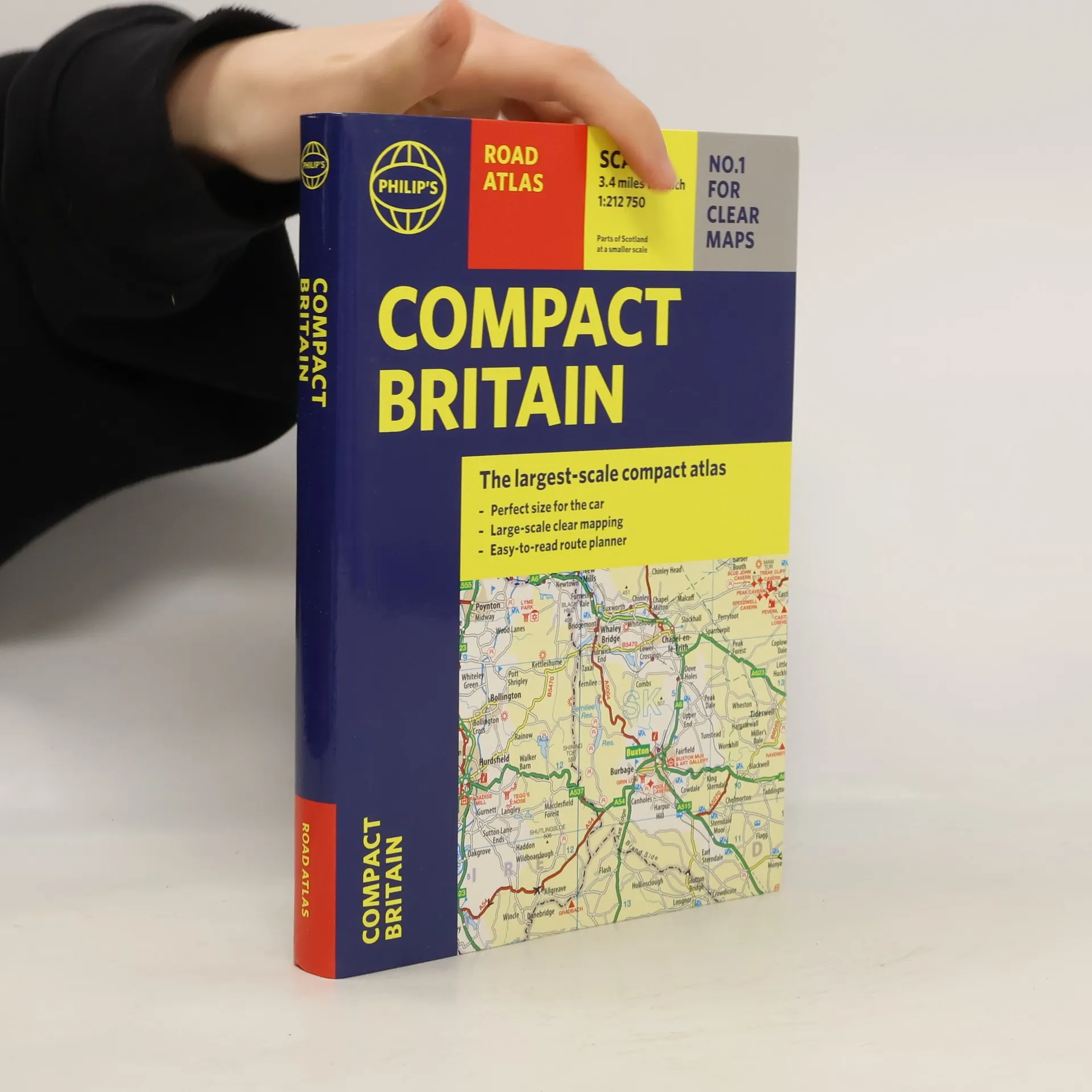
Fully up-to-date in a handy flexibound format, Philip's Compact Britain Road
Atlas features the super-clear digital cartography, which was voted Britain's
clearest and most detailed mapping in an independent consumer survey.
Philip's 2022 Big Road Atlas Britain and Ireland contains 96 pages of road maps covering Britain at 3 miles to 1 inch (Scottish Highlands and Western Isles at 4 miles to 1 inch, Orkney and Shetland at 5.25 miles to 1 inch). The maps clearly mark service areas, roundabouts and multi-level junctions for easy navigation, and in rural areas distinguish between roads over and under 4 metres wide - a boon for drivers of wide vehicles. The atlas also includes a 2-page road map of Ireland, route-planning maps, a distance table, 12 large-scale city approach maps with named arterial roads, and 64 extra-detailed and fully indexed town and city plans
No. 1 in the UK for clear maps Philip's bring you the latest large spiral-
bound format Big Road Atlas Britain and Ireland 2023 with fully updated maps
from the Philip's digital database. The super-clear maps have been voted
Britain's clearest and most detailed in an independent consumer survey.
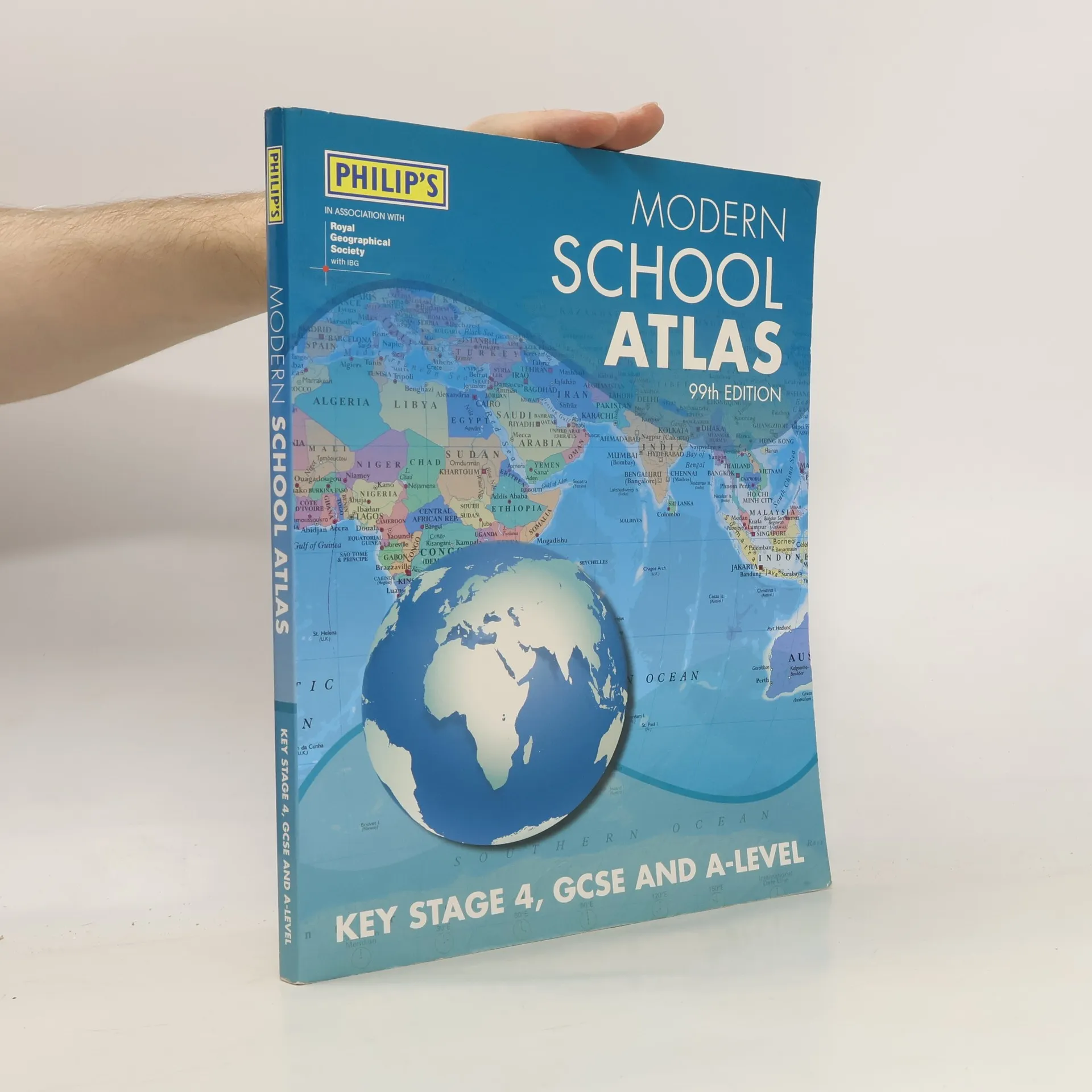
The 100th edition of the essential geographer's reference for secondary
education (14-18 year-olds), specially created for Key Stage 4, GCSE, A-Level
and international schools.
'The best educational book for secondary school kids' - Daily Mirror April
2020. A high-quality secondary school atlas, designed for work leading up to
GCSE (England and Wales) National Curriculum Key Stage 3 (11-14 year olds),
and Scotland's National Qualifications.
No. 1 in the UK for clear maps Philip's bring you the latest large format Big
Road Atlas Britain and Ireland 2022 with practical spiral binding and fully
updated maps from the Philip's digital database. The maps are super-clear and
have been voted Britain's clearest and most detailed in an independent
consumer survey.
A superbly detailed Philip's world atlas, published in association with the
Royal Geographical Society - fully revised and updated. From global stats on
climate and population to stunning satellite imagery, the world is revealed in
all its splendour.
Philip's is No. 1 in the UK for clear mapping and the Philip's 2022 Road Atlas
Britain and Ireland is the top of the range, mid A4-sized, spiral-bound atlas
featuring fully updated maps from the Philip's digital database. The maps are
super-clear and have been voted Britain's clearest and most detailed in an
independent consumer survey.
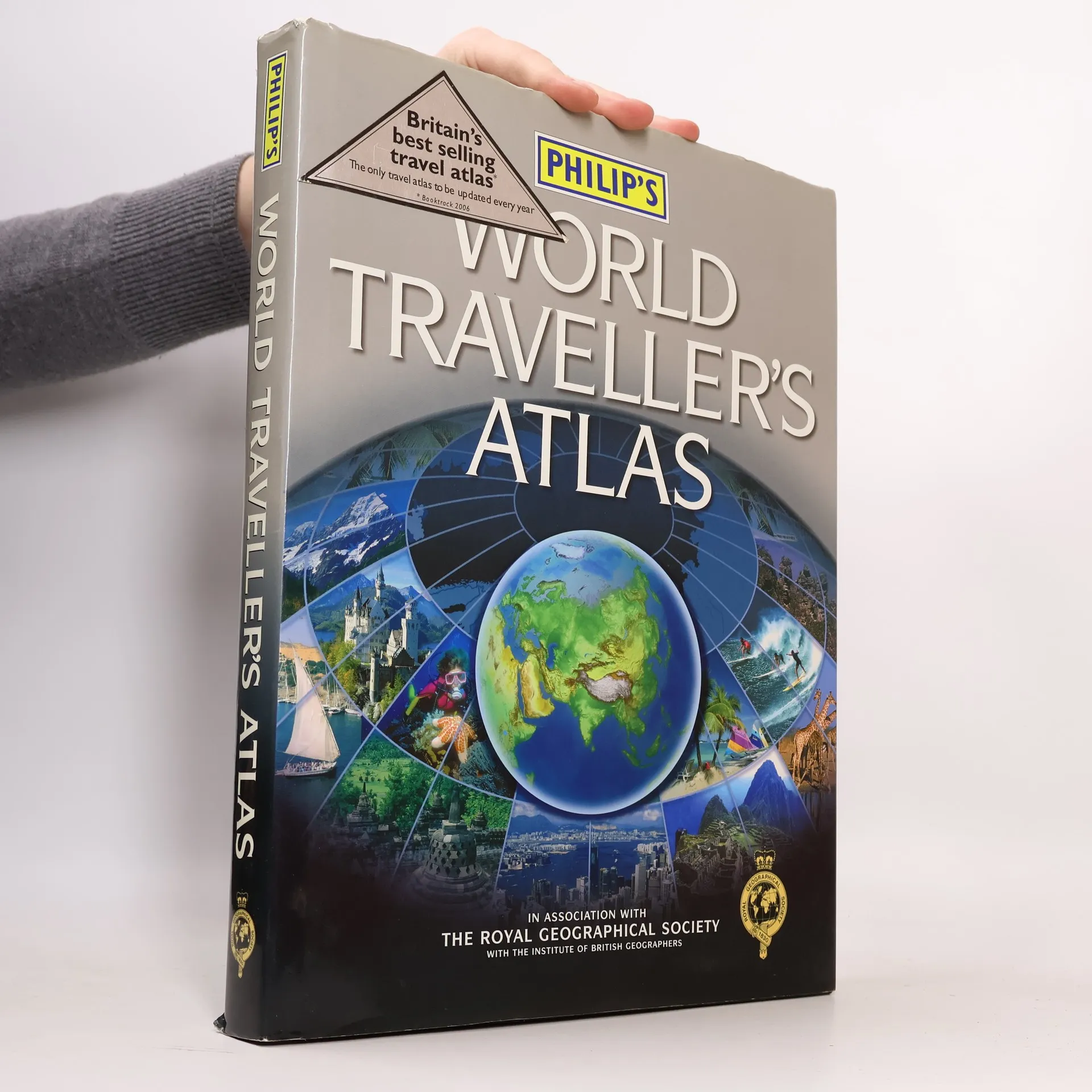
The latest information-packed and topical world atlas from Philip's, published
in association with the Royal Geographical Society - fully revised and updated
in paperback for today's fast-changing world.
The latest edition of Philip's Navigator Camping and Caravanning Atlas of
Britain is the must-have atlas for every camper and caravanning enthusiast.
With over 1880 approved campsites listed and more than 7750 bridge
restrictions clearly marked, the atlas also includes essential information
from The Camping and Caravanning Club - The Friendly Club.
Philip's Navigator Road Atlases - the UK's best-selling road atlases. Large-
scale mapping that makes driving easy in both towns and the countryside. Lie-
flat spiral binding.
Whether for home, in the office or at school, Philip's, in association with
the Royal Geographical Society, has created a large, easy-to-read and hugely
practical wall map of the world with up-to-date country facts and flags.
PHILIP'S: THE BEST-SELLING EUROPE ROAD ATLAS RANGE IN THE UK 'The clearest and most detailed maps of Europe' David Williams MBE, CEO Gem Motoring Assist 'The best of its kind with quick, easy-to-use information' Fleet Week Multiscale mapping - more details where you need it Philip's Multiscale Road Atlas of Europe 2021 has: - Maps every country in Europe and Western Europe - Practical A4 format and spiral-binding - easy to use in the car - Main scale super-clear 1:750,000 (12 miles to 1 inch) - Three supplementary scales from 1:200,000 to 1:3M - helps navigation in denser areas - 23-page route planning map section - 50 town and city plans - 31 urban area maps - Scenic routes highlighted - Driving regulations country-by-country - Distance chart - Fully indexed In fact, everything you need for your trip to Europe.
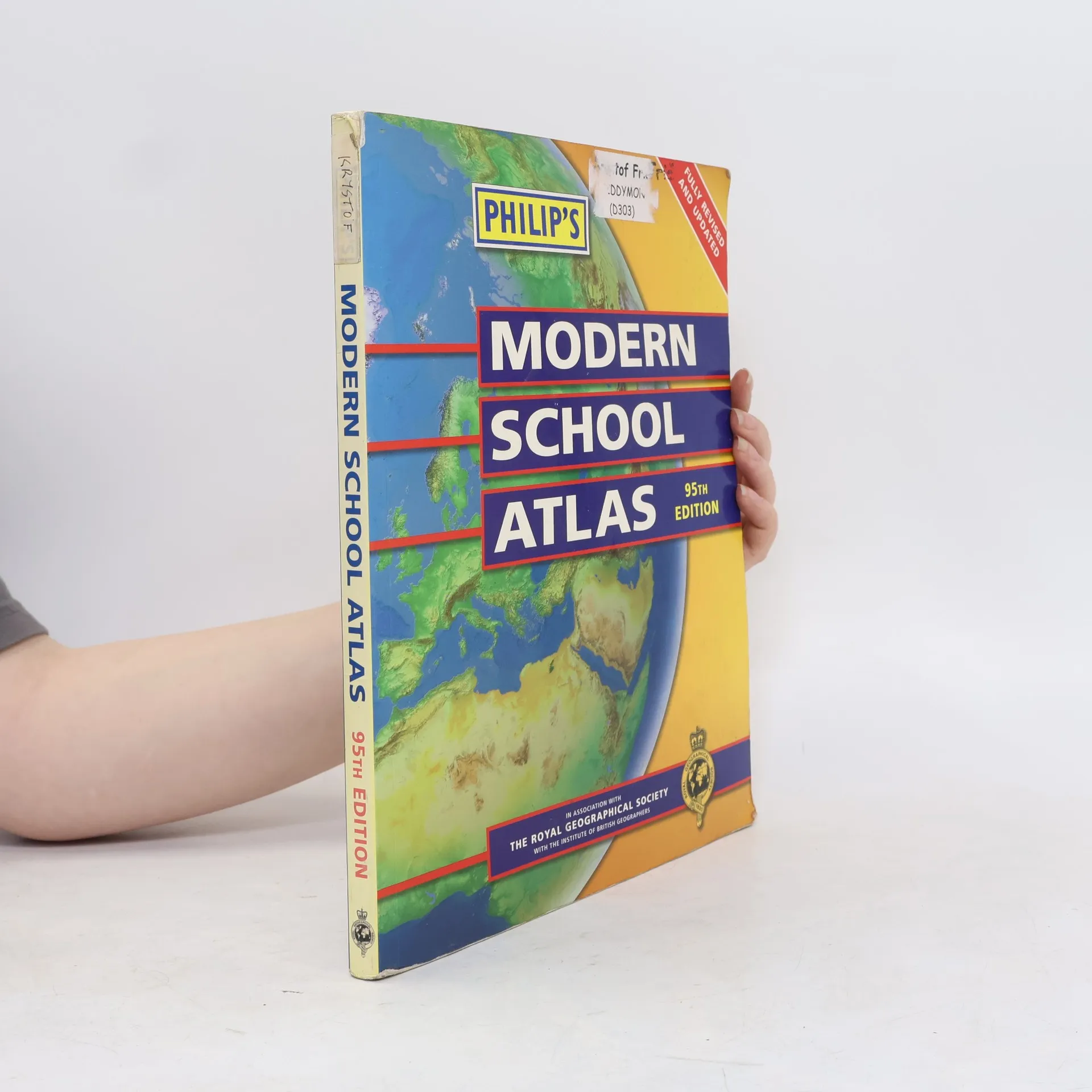
The 'Philip's Modern School Atlas' is an essential reference work for secondary education. It includes country-by-country statistics, providing up-to-date figures on population, land use, trade, health, education and economic performance.
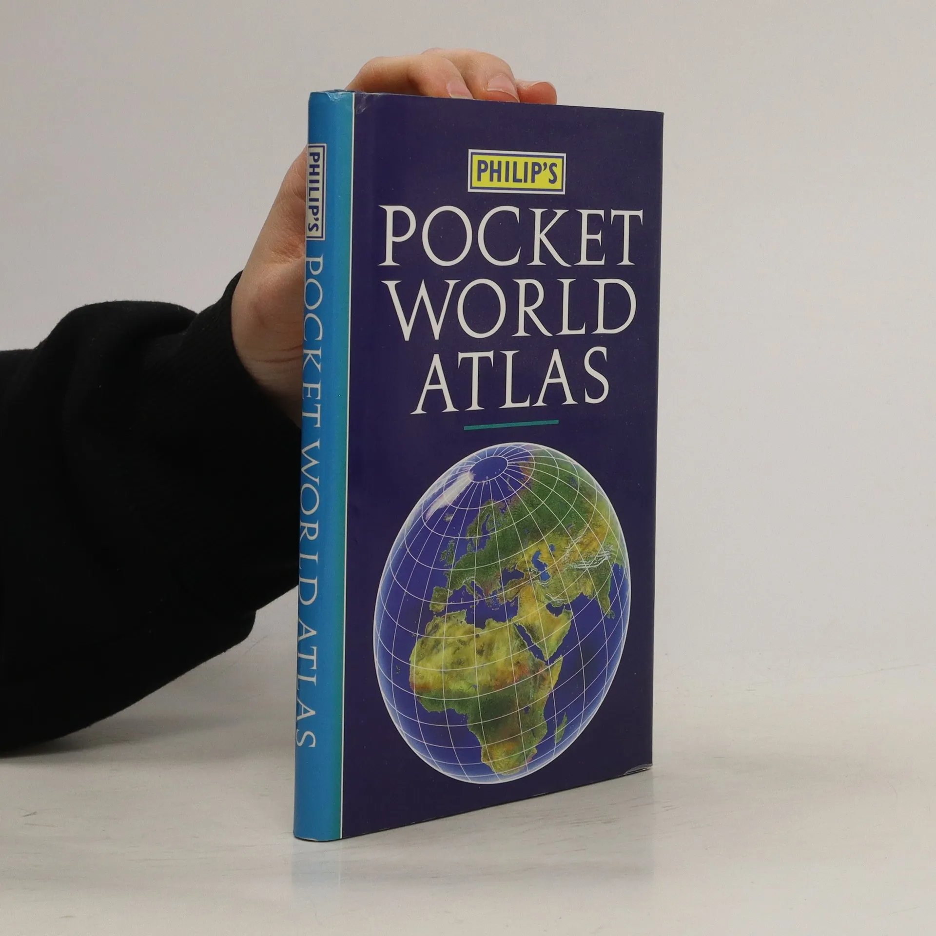
The new edition Philip's Pocket World Atlas contains 96 pages of maps that are politically coloured to emphasize countries, towns and cities, as well as major transport routes and administrative boundaries. At the beginning of the atlas are maps showing the world's major flight paths and international organizations. In addition, there is a concise country gazetteer giving details for over 200 of the world's nations, with useful information about area, population, capital cities, annual income, currencies and national governments. At the end of the atlas, the 24-page letter-figure index lists all major towns and cities, plus numerous geographical features such as mountains, rivers and lakes. The handy paperback format makes this pocket-sized world atlas ideal for students and travellers of all kinds.