The County Maps of Old England
- 126 stránek
- 5 hodin čtení
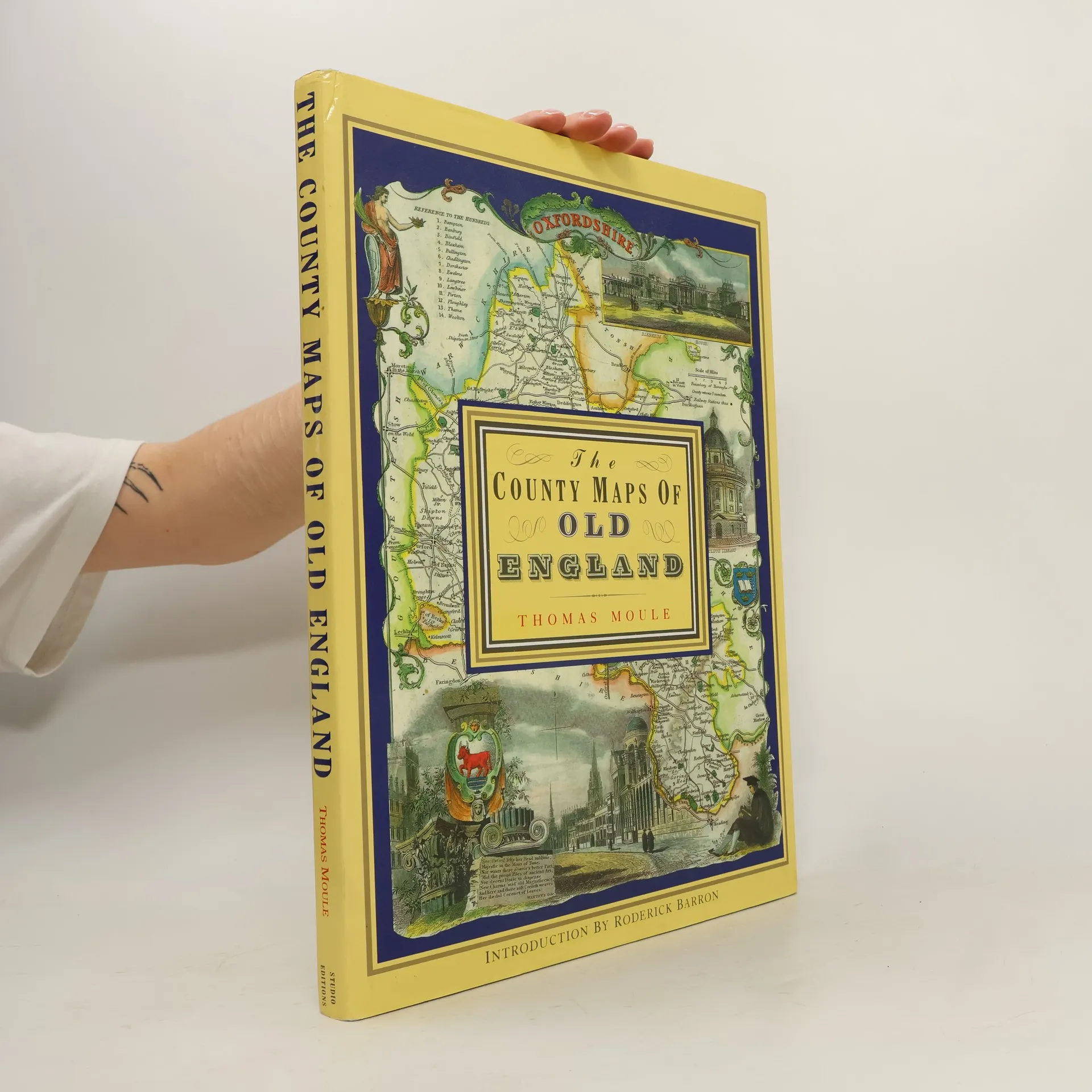
Thomas Moule byl anglický starožitník, spisovatel a tvůrce map. Je známý především svými populárními a vysoce zdobenými krajskými mapami Anglie. Tyto mapy, ocelorytiny, byly poprvé vydány samostatně v letech 1830 až 1832. Jeho práce se vyznačuje jak uměleckou precizností, tak zájmem o historické detaily.


Discover the fascinating world of heraldry and genealogy with this comprehensive guide to British nobility. This extensive catalog includes detailed descriptions of important works on the subject, and is an essential resource for historians, genealogists, and lovers of history alike. With beautiful illustrations and detailed index, this is a must-have volume for anyone interested in the rich heritage of British heraldry.
Journey back in time to ancient Rome with this insightful study of Roman villas from the Augustan Age. The author explores the design, decoration, and function of these luxurious residences, revealing the social and cultural context in which they were created. Lavishly illustrated with detailed drawings and photographs, this book is a must-have for anyone interested in Roman history and architecture.
This book is a beautifully illustrated guide to the country estates and manor houses of the British aristocracy. The book includes detailed descriptions of each property along with stunning engravings of the houses and their gardens, making it a must-read for anyone interested in British history and architecture.
This exquisite volume showcases the beauty and grandeur of some of England and Wales's most magnificent cathedrals. Featuring detailed illustrations by Benjamin Winkles and historical context provided by Thomas Moule, this book provides a unique insight into the architectural and cultural history of these iconic buildings.