Obrazový atlas světa
- 80 stránek
- 3 hodiny čtení
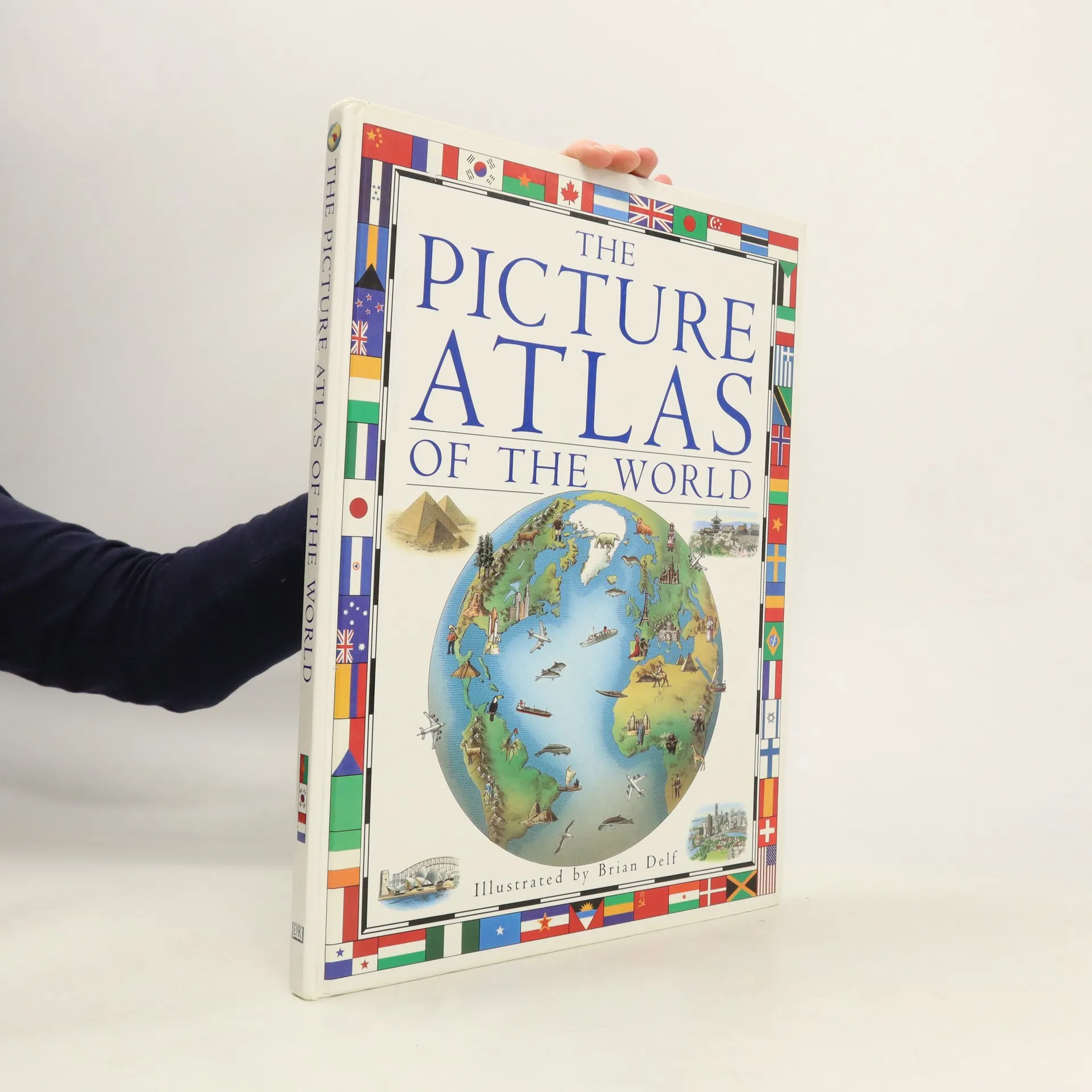
Obrazový atlas světa přináší nejnovější pohled na svět prostřednictvím krásných obrazových map, barevných fotografií a množství zajímavých údajů.

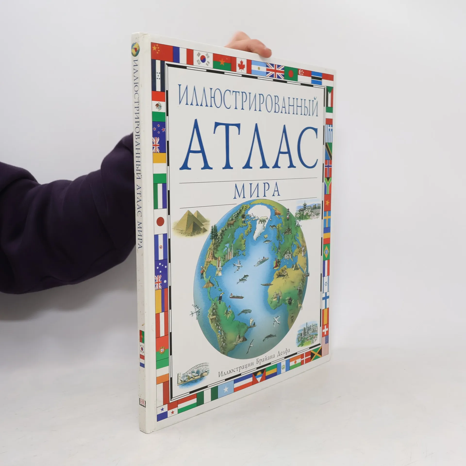
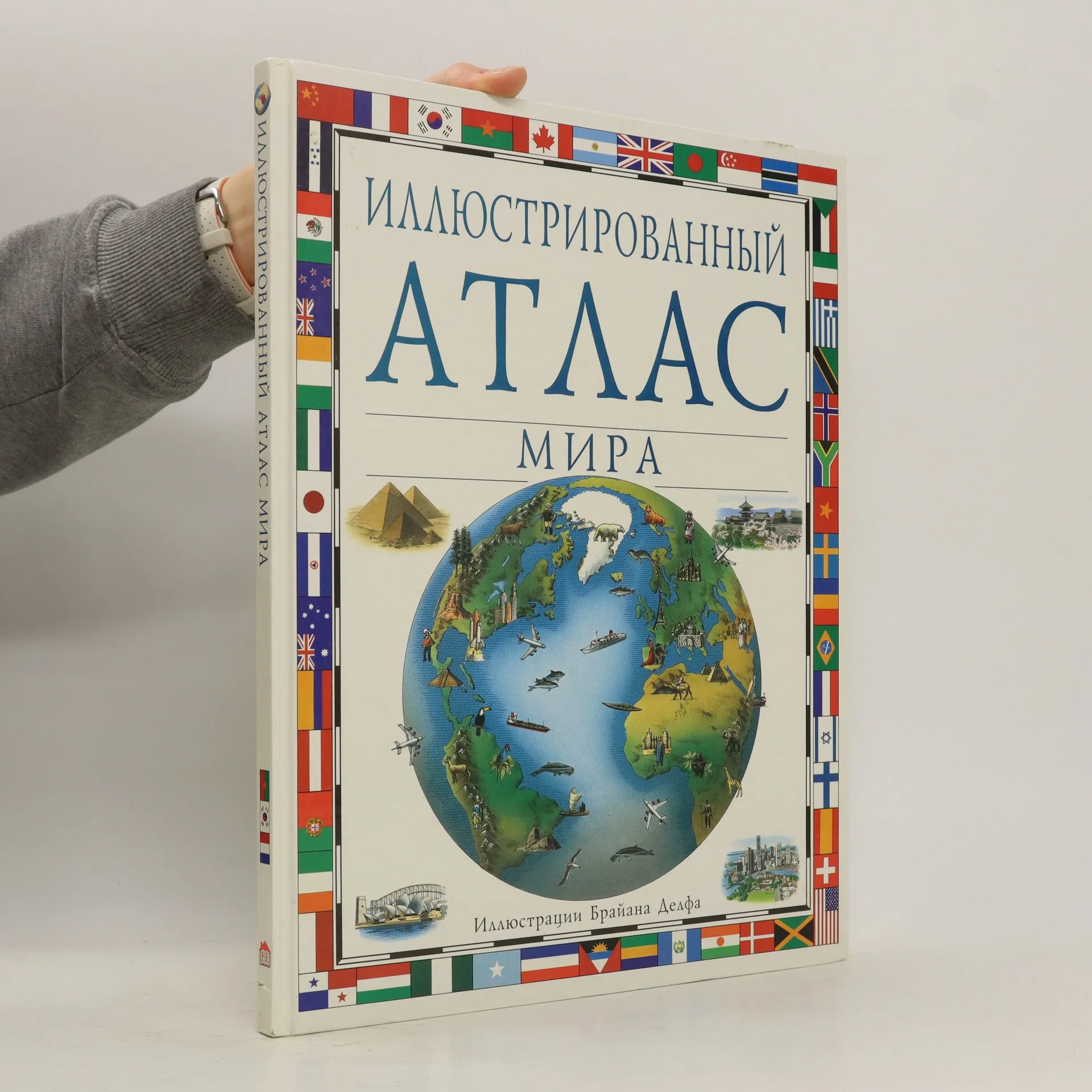
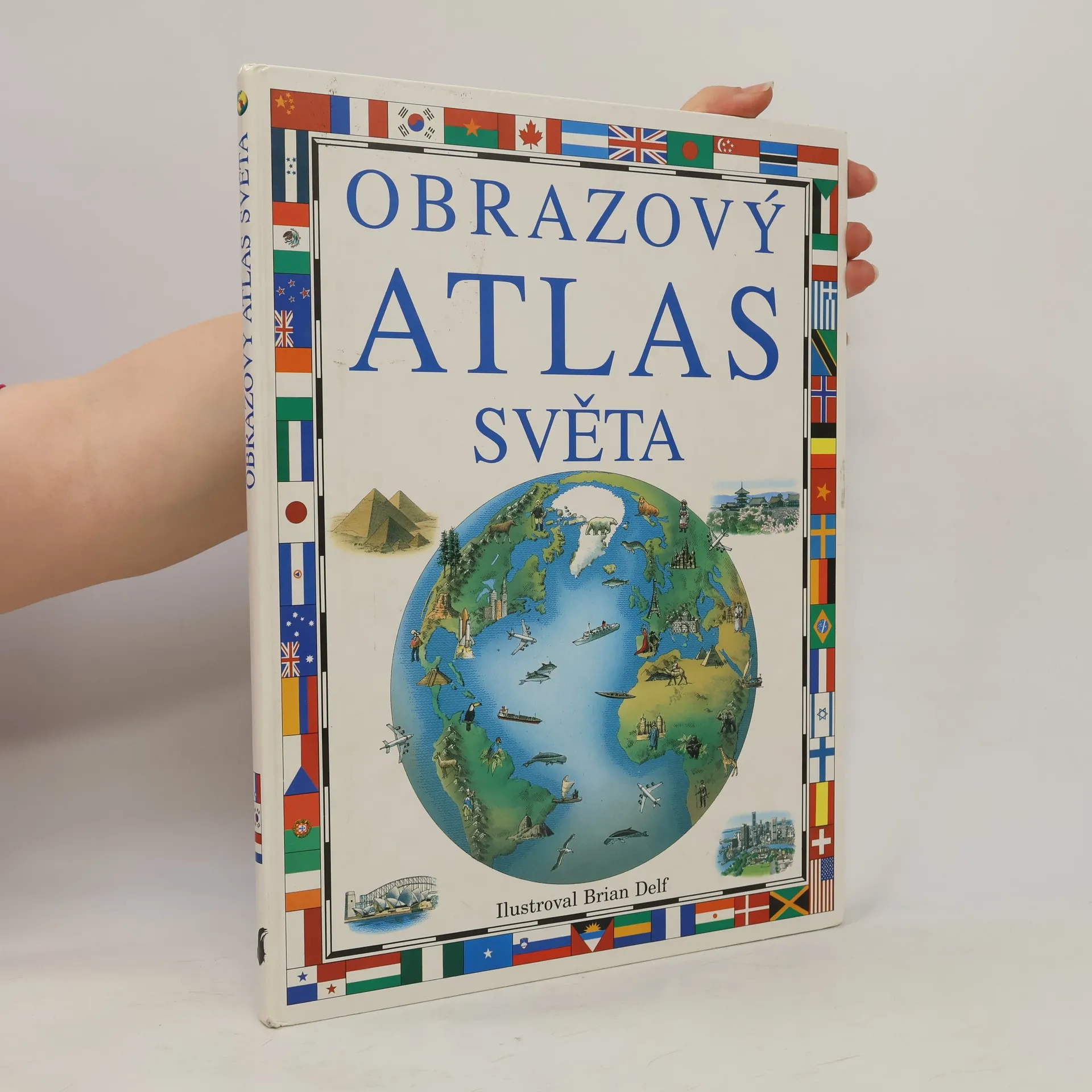
Obrazový atlas světa přináší nejnovější pohled na svět prostřednictvím krásných obrazových map, barevných fotografií a množství zajímavých údajů.
This has been prepared in consultation with cartographers to ensure accuracy. Drawn map illustrations offer a fresh view of the world and bring every continent and country to life. This book includes drawings, charts and illustrations using simple page layouts, special fact panels, boxed text and pictures on features of many different countries. The maps contain features such as landscape relief, important industries, tourist attractions, cultural features and wildlife.
What happened in Helmand's Sangin Valley in the spring of 2007 was nothing short of extraordinary. After the last gasp defence of the platoon houses by the Paras, the soldiers of the Royal Anglian Regiment arrived in Afghanistan charged with taking the battle to the enemy. This title tells the story of the Royal Anglian's deployment.
Psychology students can find statistical analysis a challenging and complex task and, in order to master the techniques and complete their assignments and projects, they need to have a sound understanding of IBM SPSS.