Novinka: Knihobot Klub plný výhod!
Knihobot Klub
Pobočky
Kariéra
Kontakt
Hledej knihu, autora, ISBN nebo kategorii...
Prodat knihy
Beletrie
Detektivky & Thriller
Vše z Detektivky & Thriller
Historické detektivky
Klasické detektivky
Thrillery
Psychologické thrillery
Severské krimi
Špionážní romány
Cozy Crime
Fantasy
Vše z Fantasy
Epická fantasy
Historická fantasy
Hrdinská fantasy
Humorná fantasy
Urban fantasy
Upíři
Fantasy pro děti
Horor
Vše z Horor
Gotický horor
Paranormální horor
Kosmický horor
Hororové povídky
Hororové komiksy
Komiks & Manga
Vše z Komiks & Manga
Superhrdinské komiksy
Hororové komiksy
Humorné komiksy
Alternativní komiksy
Dětské komiksy
Manga
Romantika
Vše z Romantika
Historické romance
Současná romantika
Romantické komedie
Napínavá romantika
LGBTQ+ romantika
Romantasy
Sci-Fi
Vše ze Sci-Fi
Hard Sci-Fi
Humorné Sci-Fi
Space Opera
Dystopie
Postapo
Kyberpunk
Steampunk
Young Adult
Vše z Young Adult
Young Adult fantasy
Young Adult romantika
Romantasy
Ostatní
Historické romány
Klasika
Mýty & Legendy
Poezie
Společenské romány
Naučná literatura
Byznys & Management
Ekonomie
Investice & Spekulace
Management & HR
Marketing & Prodej
Finance & Účetnictví
Hobby
Dům & Byt
Chov zvířat
Rybaření
Řemesla
Starožitnosti & Sběratelství
Šití, Vyšívání & Textil
Videohry
Zahradničení
Mapy & Cestování
Cestopisy
Mapy & Atlasy
Turistické průvodce
Zeměpis & Místopisy
Lékařství
Vše z Lékařství
Alternativní medicína
Zdravý životní styl
Seberozvoj
Mateřství & Rodičovství
Meditace
Mezilidské vztahy
Partnerské vztahy
Podnikání
Osobní růst
Společenské vědy
Antropologie
Filosofie
Jazyky
Literární věda
Pedagogika
Politologie & Politika
Právo
Psychologie
Sociologie
Technologie & Průmysl
Automobily & Doprava
Elektronika & Elektrotechnika
Počítače & Internet
Stavebnictví & Statika
Vojenství
Zemědělství
Umění & Kultura
Architektura & Urbanismus
Design
Divadlo & Tanec
Film
Fotografování
Hudba
Malířství & Sochařství
Móda
Teorie & Dějiny umění
Věda & Matematika
Astronomie
Biologie
Chemie
Ekologie
Fyzika
Geologie & Mineralogie
Matematika
Teorie & Historie vědy
Ostatní
Cvičení & Posilování
Kuchařky, Jídlo & Pití
Sport & Outdoor
Stravování & Diety
Učebnice
Skutečné příběhy
Skutečné příběhy
Cestopisy
Historie
Publicistika & Eseje
Reportážní literatura
Rozhovory
True Crime
Záhady & Konspirační teorie
Životopisy
Dětská literatura
Menší děti
Hry & Aktivity s dětmi
Leporela
Obrázkové knížky
Omalovánky
Písničky & Říkanky
První čtení
Starší děti
Dětské komiksy
Detektivky pro děti
Fantasy pro děti
Naučné dětské knihy
Pro děti 8-12 let
Pohádky
Duchovní literatura
Náboženská literatura
Buddhismus
Hinduismus
Islám
Judaismus
Křesťanství
Taoismus
Esoterika
Astrologie
Duchovní rozvoj
Okultismus & Čarodějnictví
Věštění
Výklad snů
10 za 250 Kč
Všechny knihy
John Bartholomew
John Bartholomew
Knihy
Knihy autora
Pořadí knih (chronologicky)
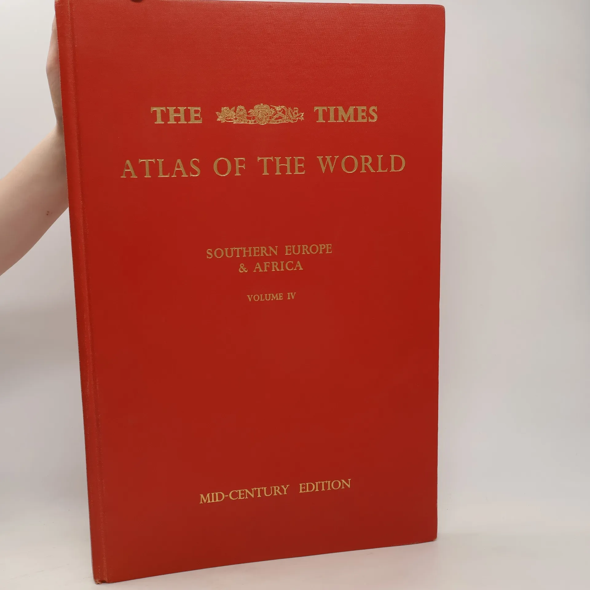
The Times Atlas of the World. Volume IV., Southern Europe and Africa
Pohlídat