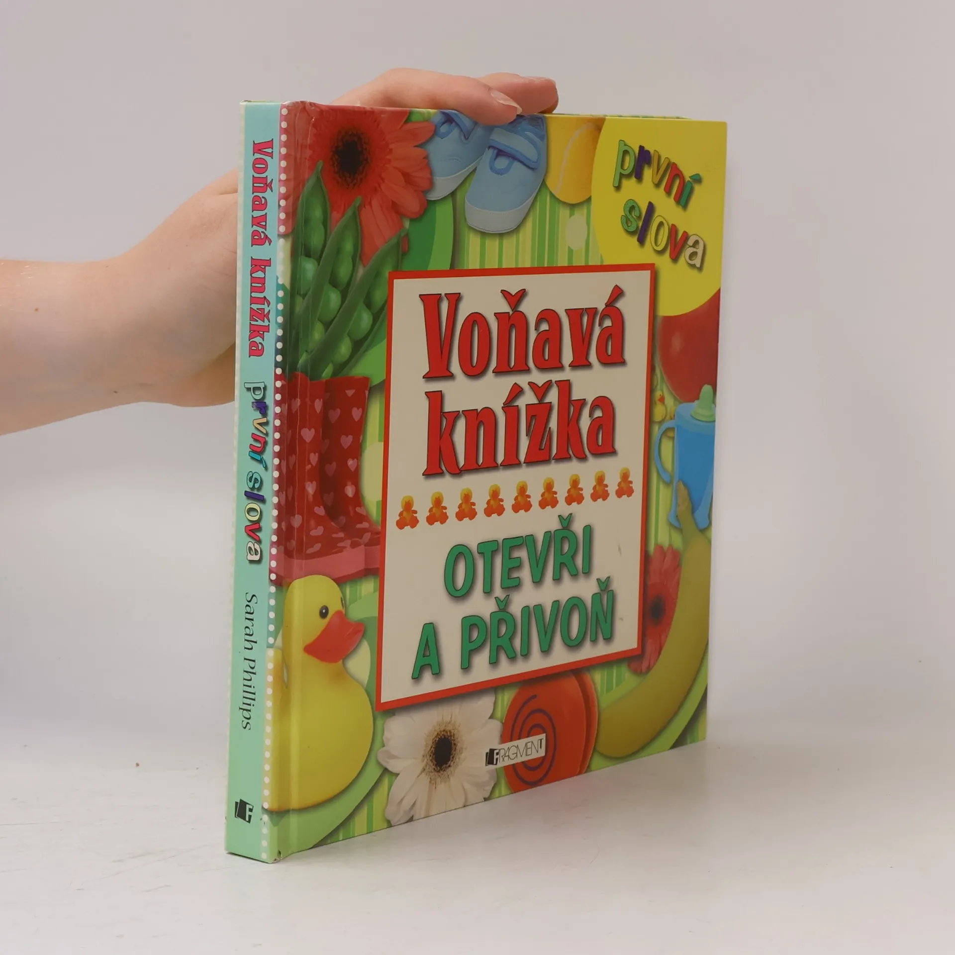
Voňavá knížka. První slova. Otevři a přivoň
- 10 stránek
- 1 hodina čtení
Dívej se, čichej, dotýkej se! Krásně barevná knížka potěší všechny smysly. Děti se v ní nejen naučí říkat první slovíčka, ale také se seznámí s různými vůněmi a druhy povrchů.

Tento autor čerpá z kořenů jižanského jihu a dětství, které ho formovalo. Jeho hrdinové, nezdolní duchové, jsou inspirováni dospělými, které znal v mládí – lidmi neúnavně pracujícími a oddanými své víře. Jeho díla odrážejí tyto hluboce zakořeněné vlivy.
Dívej se, čichej, dotýkej se! Krásně barevná knížka potěší všechny smysly. Děti se v ní nejen naučí říkat první slovíčka, ale také se seznámí s různými vůněmi a druhy povrchů.
Učebnice + e-book
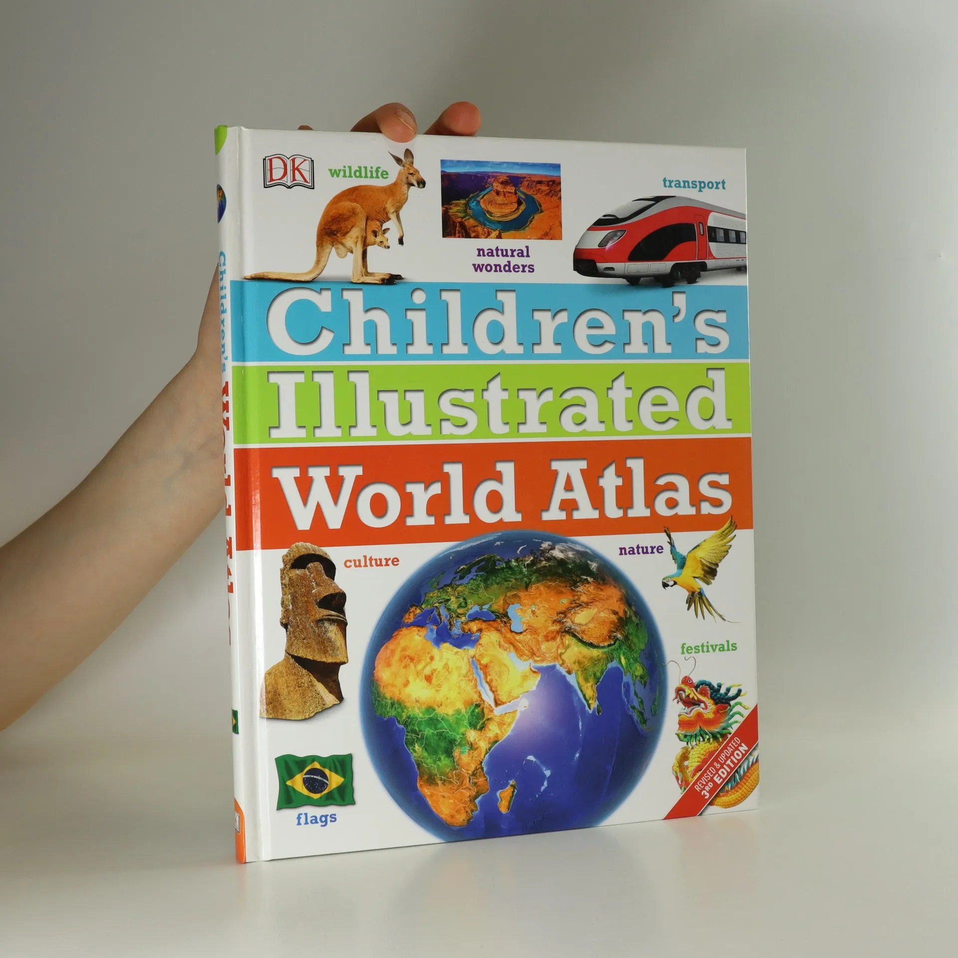
Ilustrovaný atlas světa přináší informace o kultuře, historii, obyvatelích, podnebí jednotlivých zemí a světadílů. Určeno dětem kolem 10 let.
This series addresses the needs of primary teachers, teacher trainers, and trainee teachers. Each book contains guidance for the teacher, 60 to 100 activities for primary children, and 20 photocopiable worksheets. The activities are explained clearly and simply, with aims, age range, and level clearly laid out. Young Learners Young Learners contains advice and ideas for teaching English to children aged 6 to 12 with over 60 ideas for the classroom including arts and crafts, games, stories, poems and songs. Includes 24 photocopiable worksheets.
Send your child on a voyage of discovery with the new edition of this unbeatable world atlas - in eBook format. Each stunning map is surrounded by human stories and views that give your child an immediate sense of place not accessible in other atlases. From Bolivia�s bustling markets to carnival time in Venice, they�ll explore the societies, cultures, histories, climates and landscapes of every corner of the globe. Vivid photographs and state-of-the-art maps capture the unique personality of each region and will give your child a flavour of what it�s really like to live in each country.
A six-level course that gives children more vocabulary, more reading, and more lessons than other primary courses. Your pupils will definitely learn more!
A six-level course that gives children more vocabulary, more reading, and more lessons than other primary courses. Your pupils will definitely learn more!
A six-level course that gives children more vocabulary, more reading, and more lessons than other primary courses. Your pupils will definitely learn more!
The Children's Illustrated World Atlas is the essential reference for budding geographers and curious minds.
Intended as a basic reference source for nature, science and technology and people and places. Suggested level: primary, intermediate.
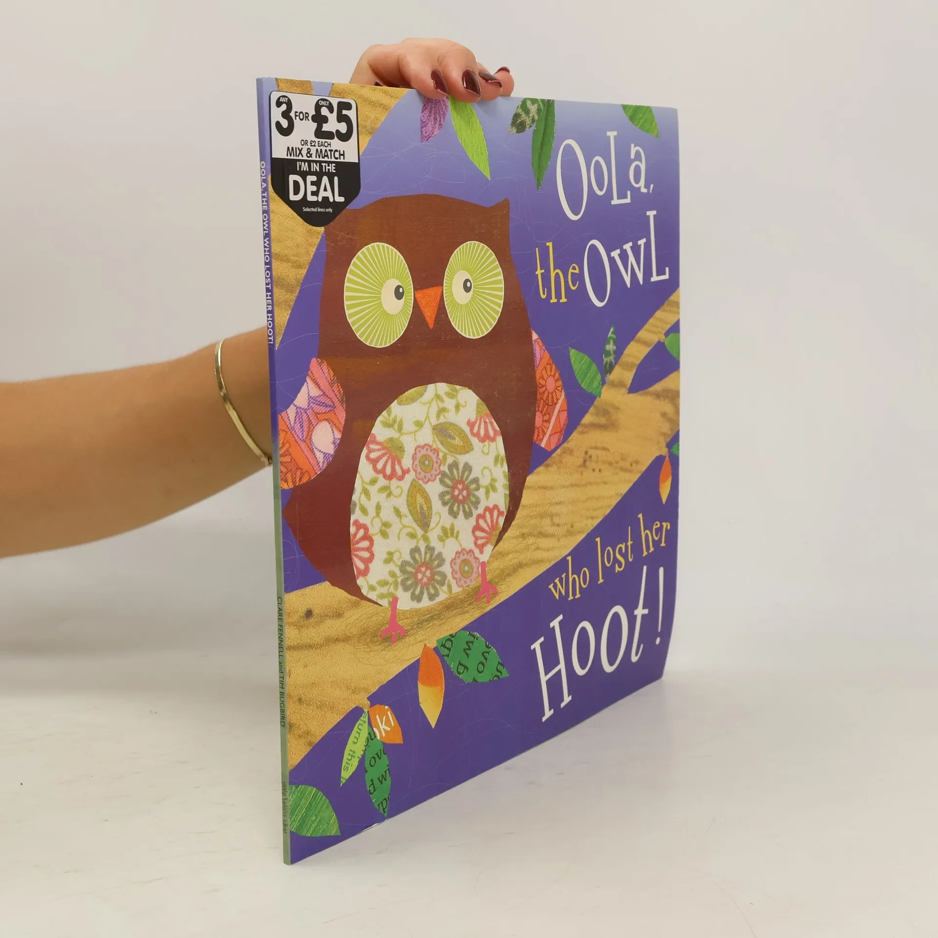
It's time for bed and little Oola turns to say goodnight to her mother. She's tired after playing in the forest all night and when she tries to hoot goodnight she can only manage a tiny 'wooo'. Her mother says she's so worn out she's lost her voice. Misunderstanding her mother, little Oola thinks she must have left her voice in the forest. Unable to sleep Oola goes in search of her voice!
A six-level course that gives children more vocabulary, more reading, and more lessons than other primary courses. Your pupils will definitely learn more!
The Middle East is in the midst of considerable and unpredictable changes, but deeply patrimonial political systems do not change overnight -- and neither do the international and regional structures that have helped them to endure for so long. The informal rules that guide Yemeni society and its dysfunctional political settlement look set to endure, in spite of unprecedented protests. Entangled in a narrative of acute crisis and possible state failure, the country still relies on foreign assistance to prop up its ailing economy. Fearing the threat from al-Qaeda on Yemeni soil as well as the crisis of the Houthi insurgency and the southern secessionist movement, regional and Western powers have continued to bankroll the regime without taking significant steps to address the underlying causes of instability and threat. Drawing on research carried out on the ground in Yemen, this Adelphi examines the shadowy structures that govern political life and sustain a network of social elites predisposed against any far-reaching systemic reform. It looks behind the scenes at the regime's opaque internal politics, at its entrenched patronage system and at the 'rules of the game' that will shape the behaviour of the post-Saleh rulers, to offer insights for how the West may better engage within that game
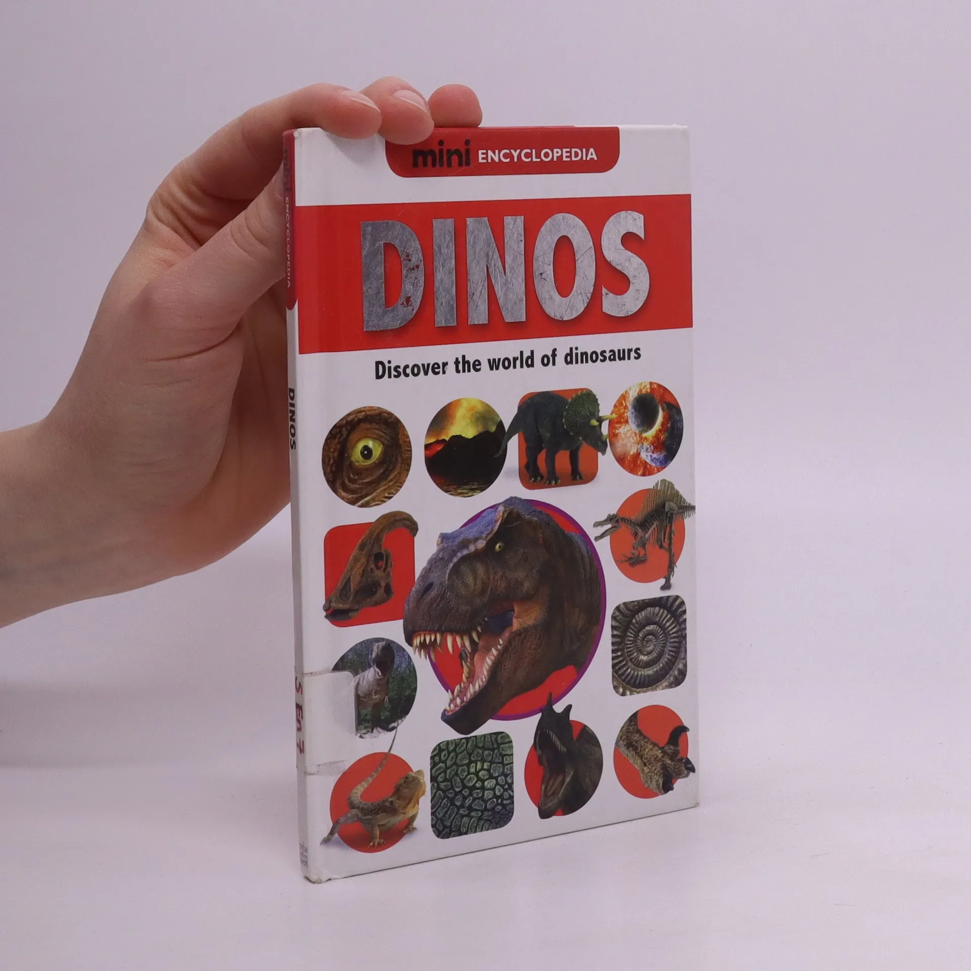
The 'Mini Encyclopedia' series is an exciting range of first reference books for young children. Using dramatic photography, simple text and annotated diagrams, these books will fascinate and engage children as they learn about their favourite topics.
Oxford Rooftops is the innovative course with an inviting sense of community at its heart. An exciting blend of digital and print materials provides perfectly paced lessons that bring Rooftops and its inhabitants to life.
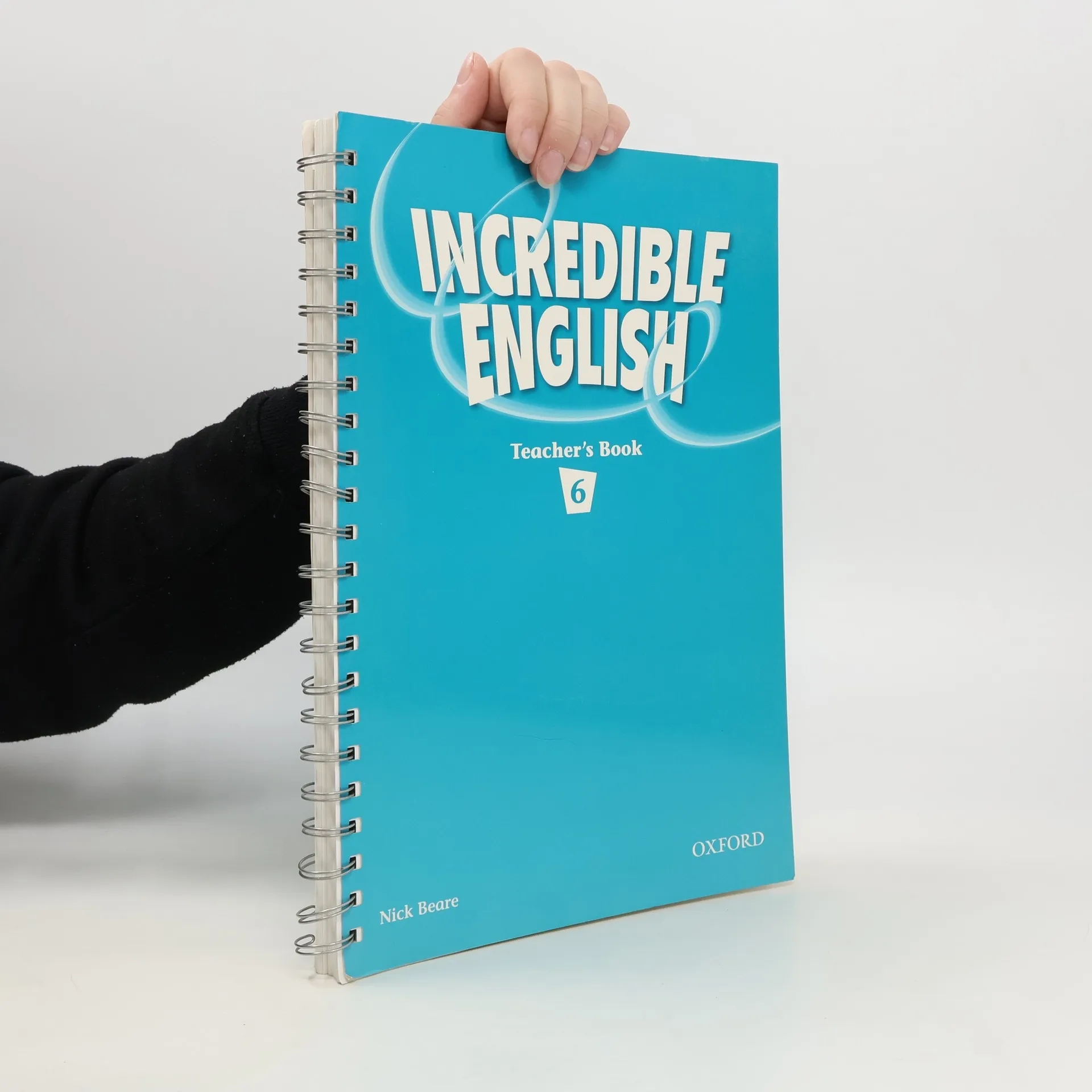
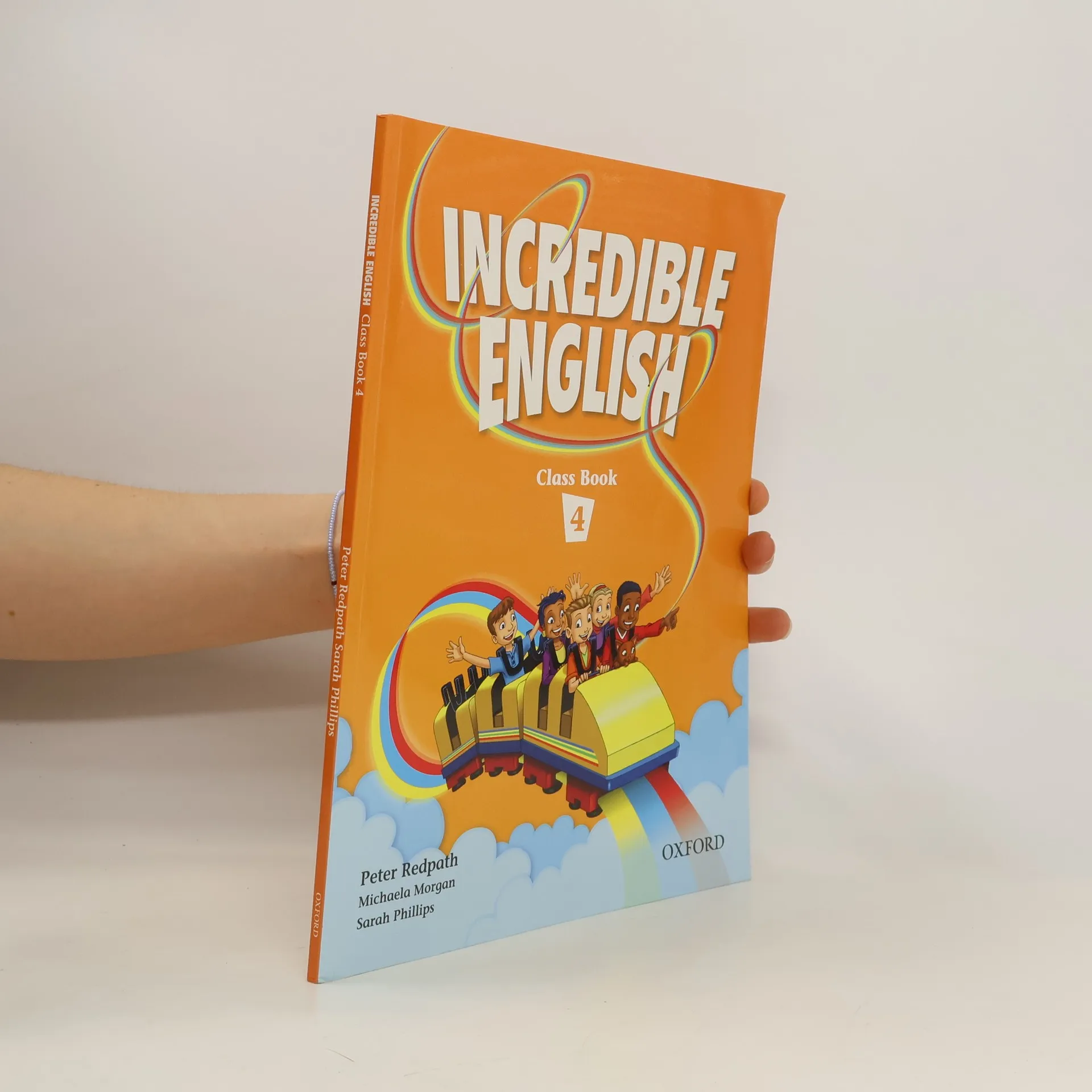
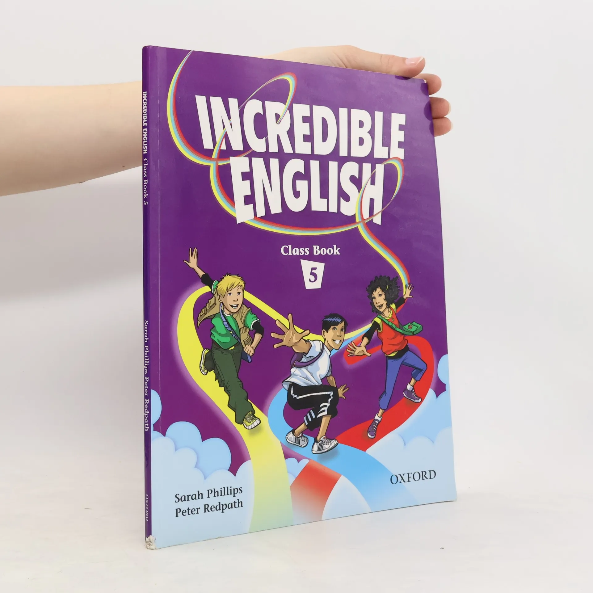
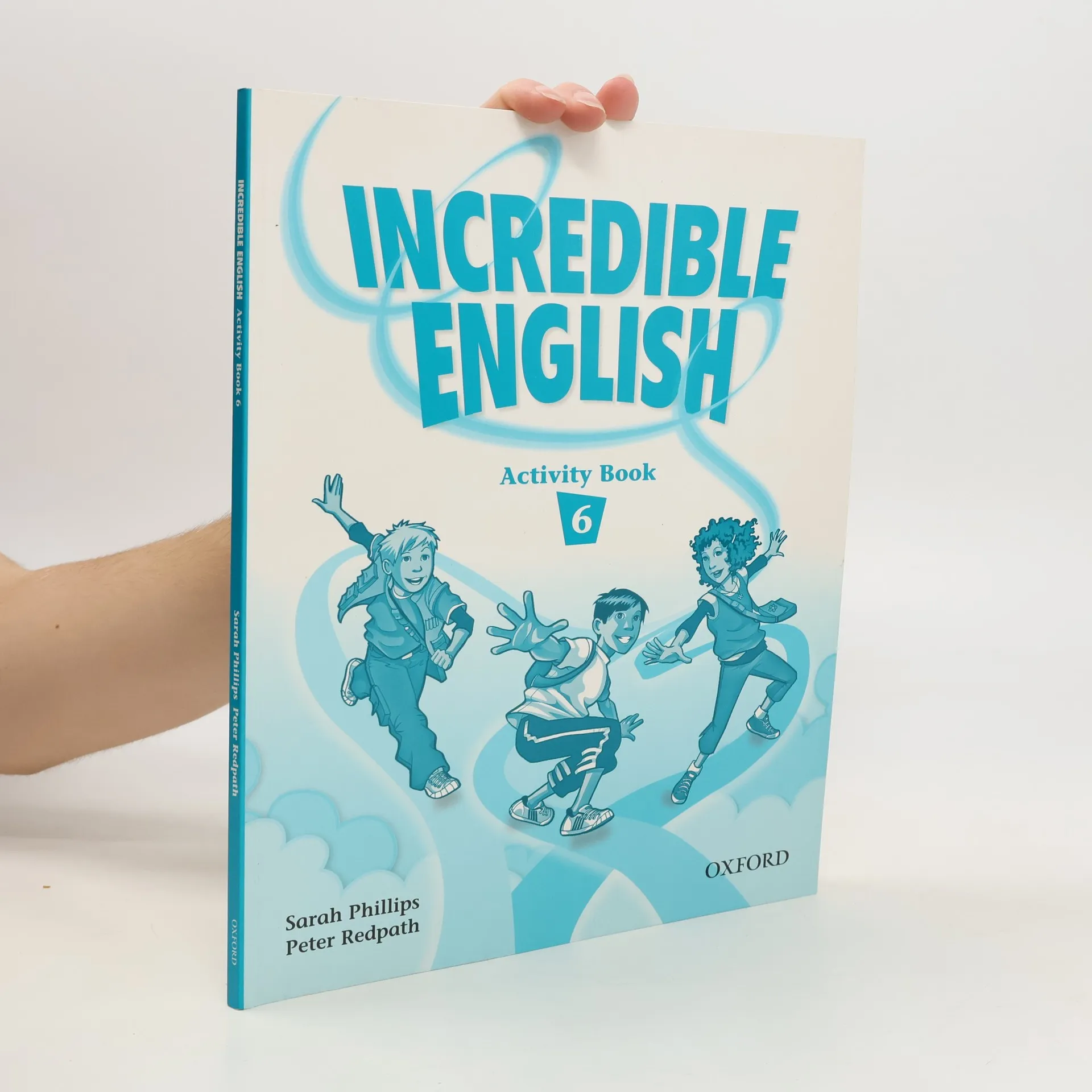
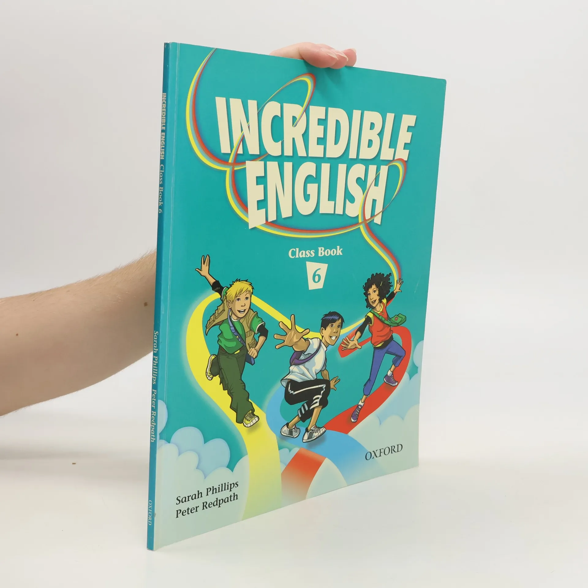
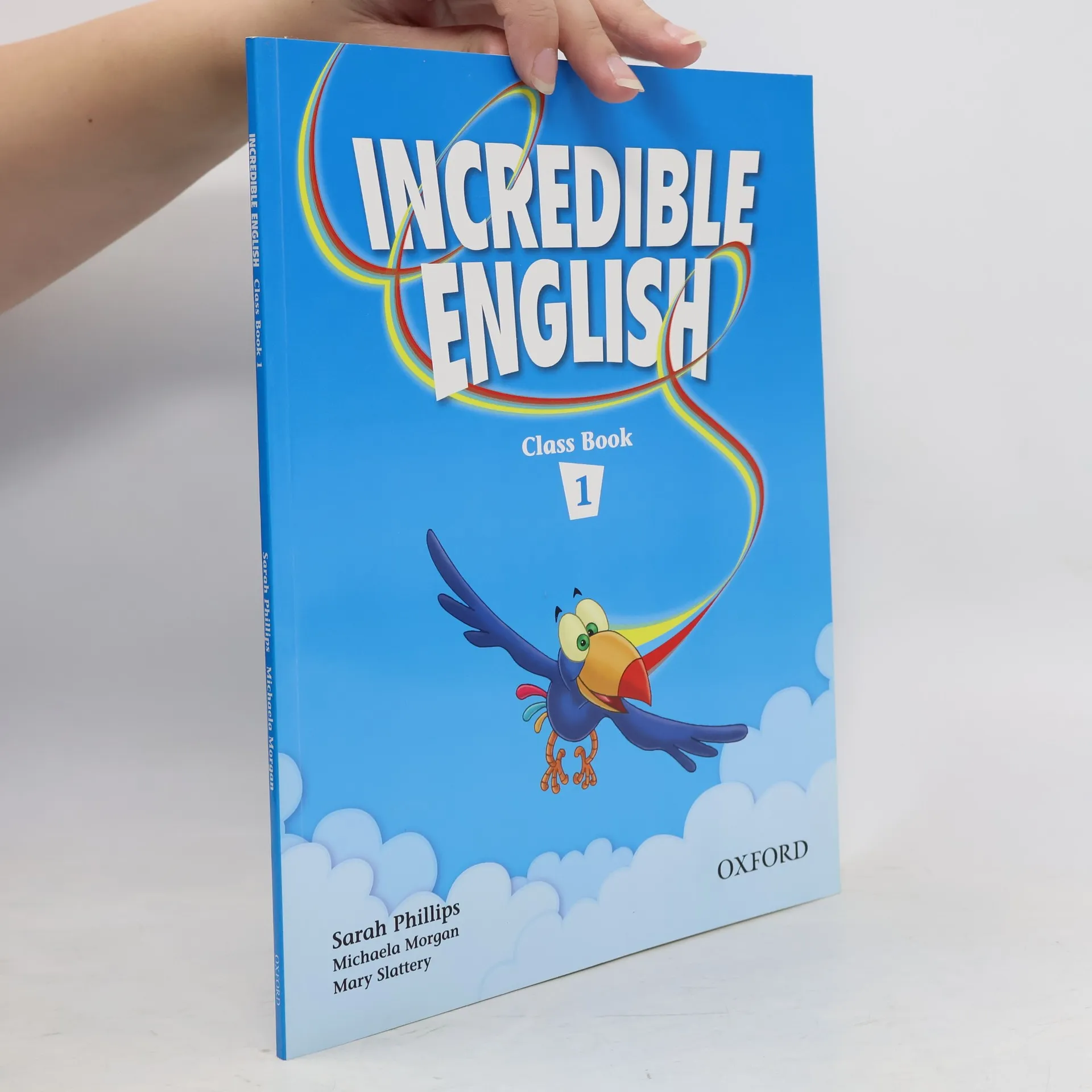
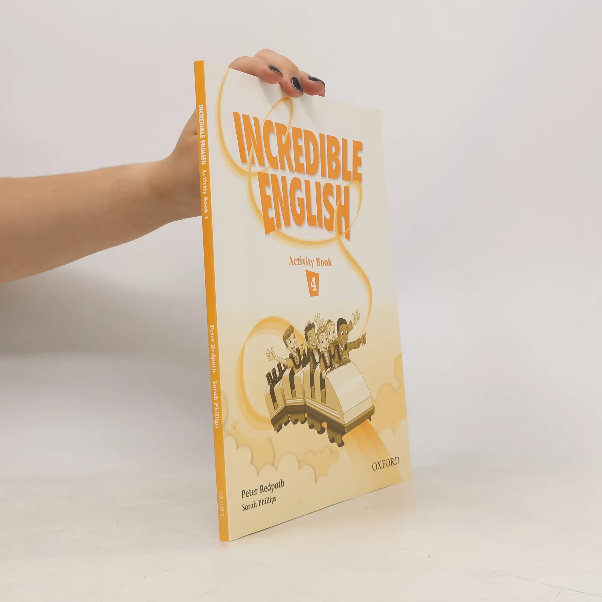
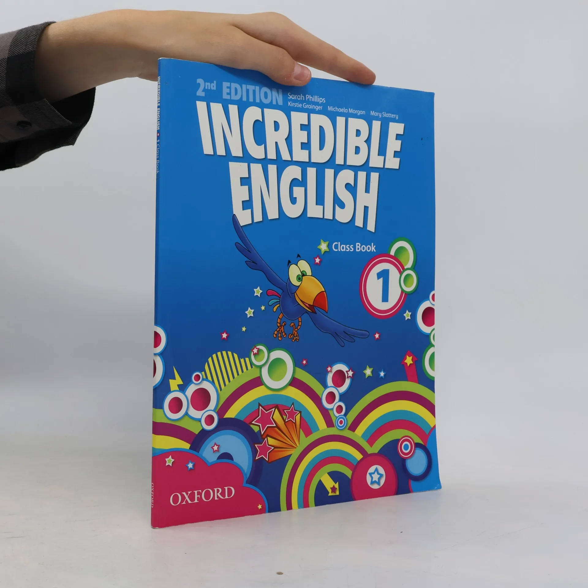
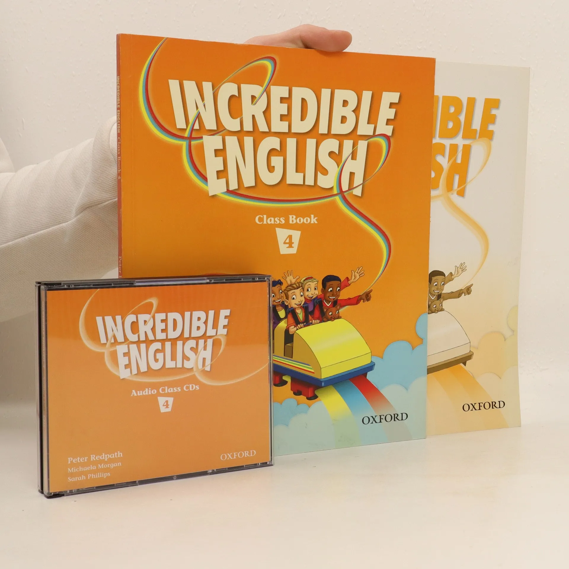
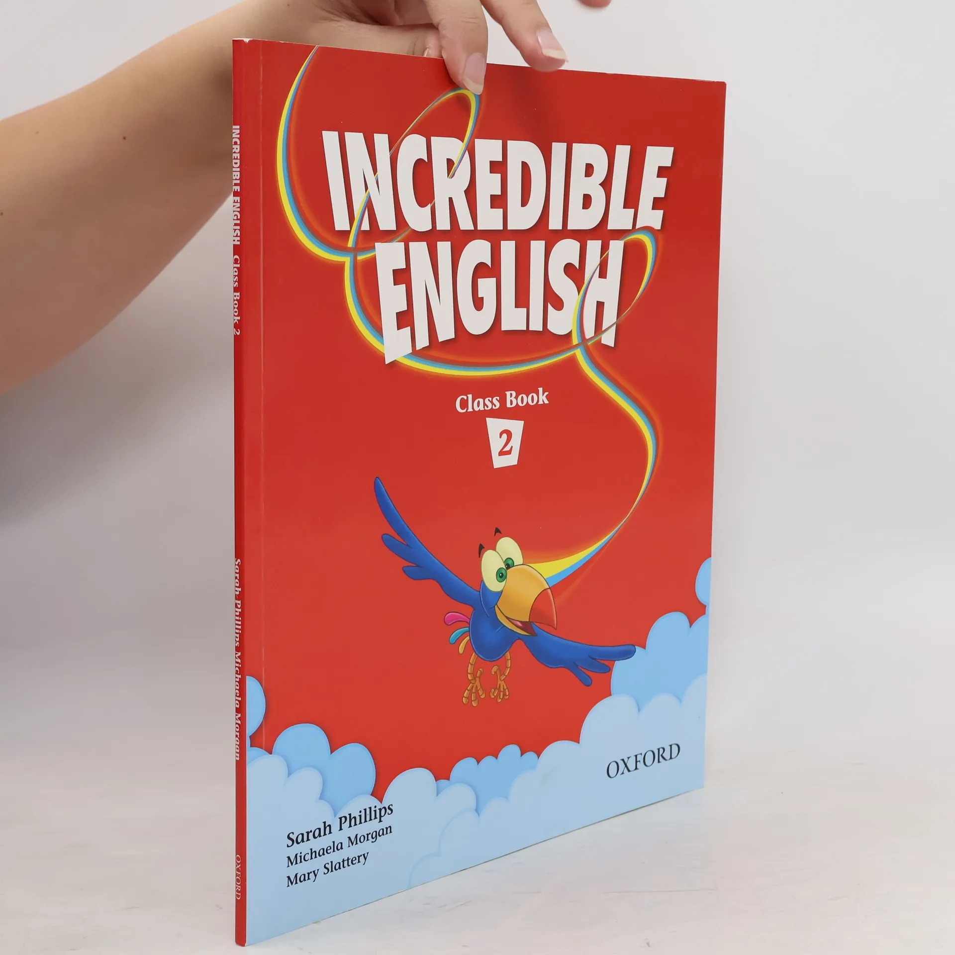
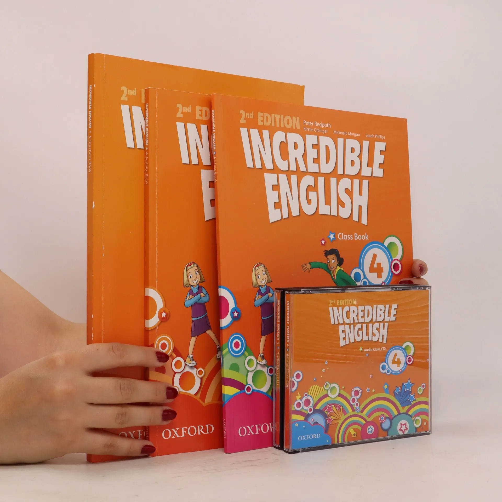
The six levels of Incredible English give you more vocabulary, more language practice, more cross-curricular content, and more resources than other primary courses, so your pupils will learn more!Incredible English offers you more than any other primary course!A wide range of brain challenging activities and a unique spy-hole bookmark help you teach more words every lesson.Entertaining cross-curricular lessons and CLIL posters make it easy for you to teach other subjects through English.And with a huge range of components, including a puppet and digital resources for interactive whiteboards, you get more and your pupils learn more!This great new introduction to the 6-level Incredible English series is a completely wordless course book. The course supports an aural-oral introduction to English, for children who are not yet ready to start reading and writing in English.With 60 hours of material, Incredible English Starter aims to bridge the gap between pre-school and primary school and develops their understanding of the world and social skills along with their English language learning.
A six-level course that gives children more vocabulary, more reading, and more lessons than other primary courses. Your pupils will definitely learn more!
Bright Ideas Level 4 provides a flexible package that ensures exam success and encourages students to develop 21st century skills through creative games and activities.
Incredible English offers you more than any other primary course! A wide range of brain challenging activities and a unique spy-hole bookmark help you teach more words every lesson. Entertaining cross-curricular lessons and CLIL posters make it easy for you to teach other subjects through English. And with a huge range of components, including a puppet and digital resources for interactive whiteboards, you get more and your pupils learn more!
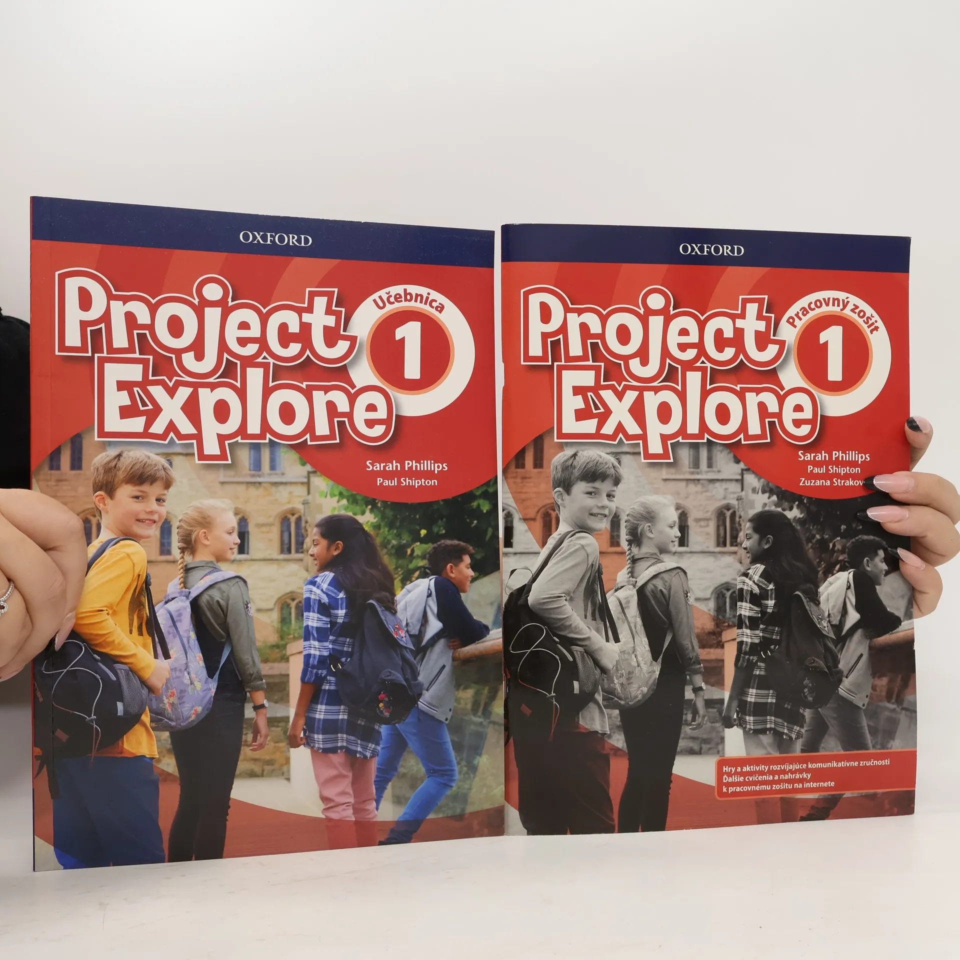
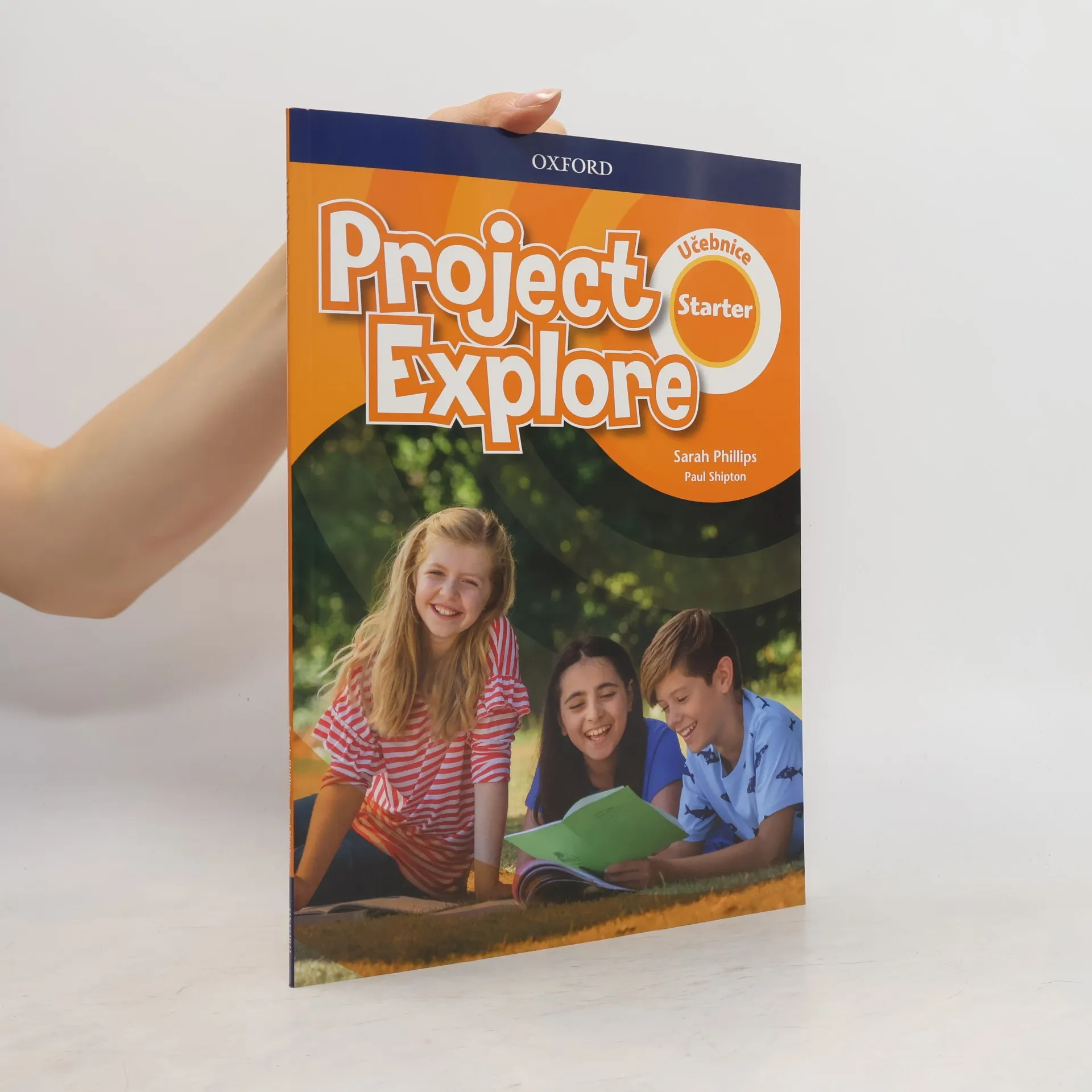
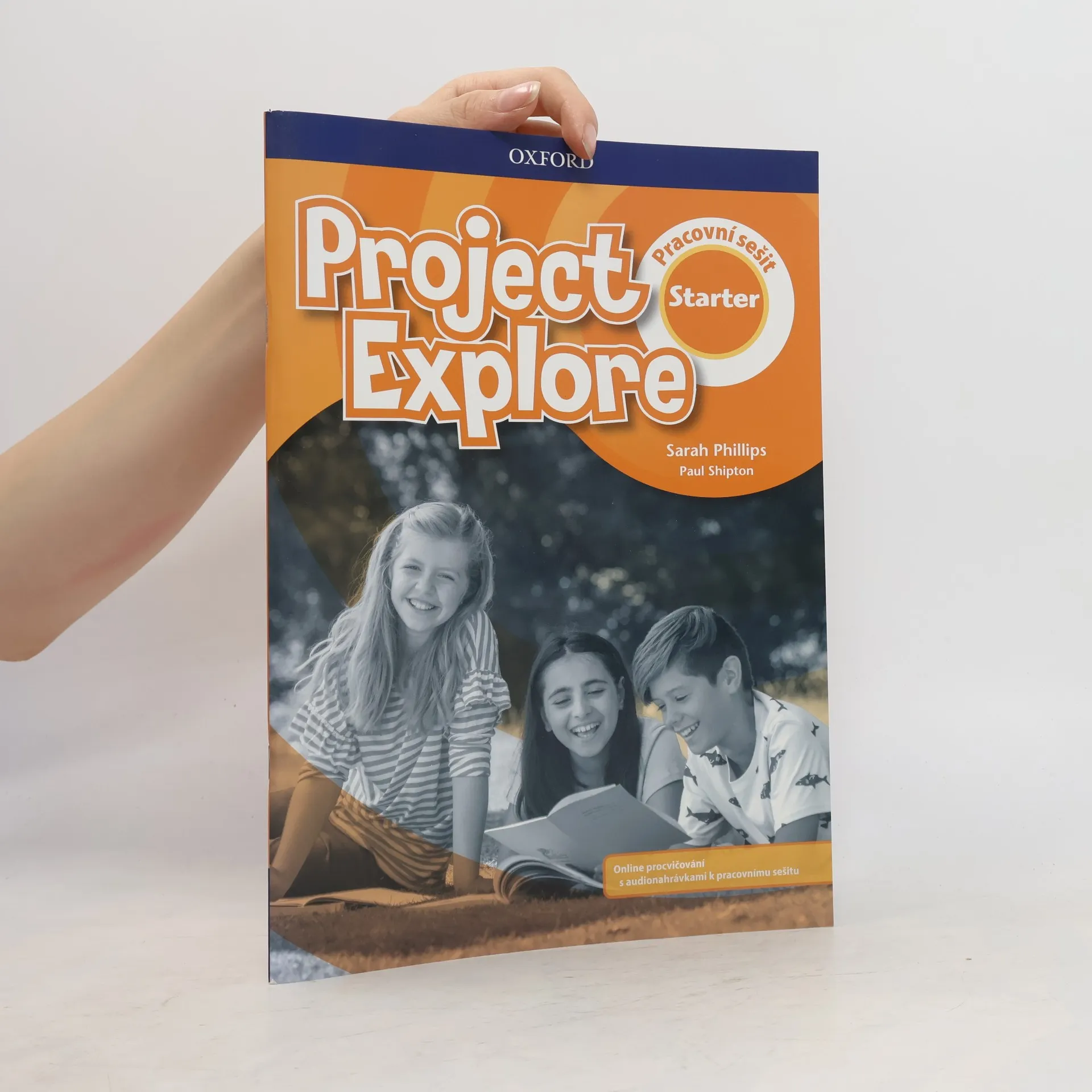
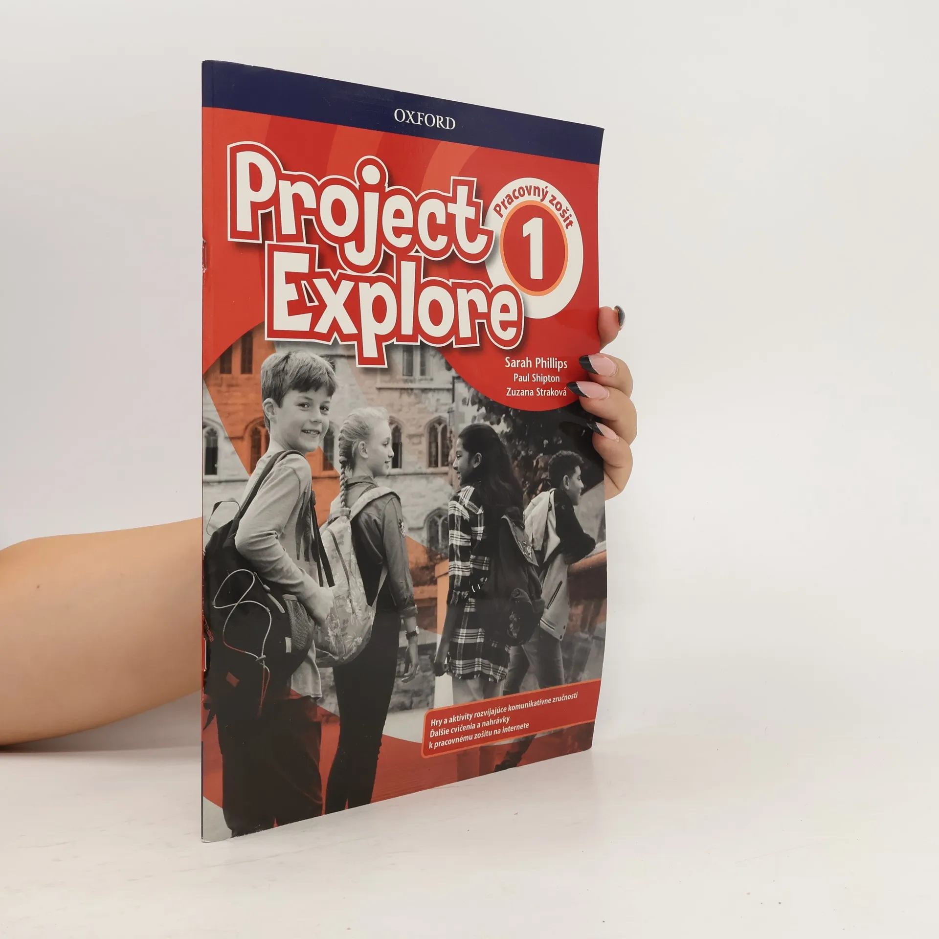
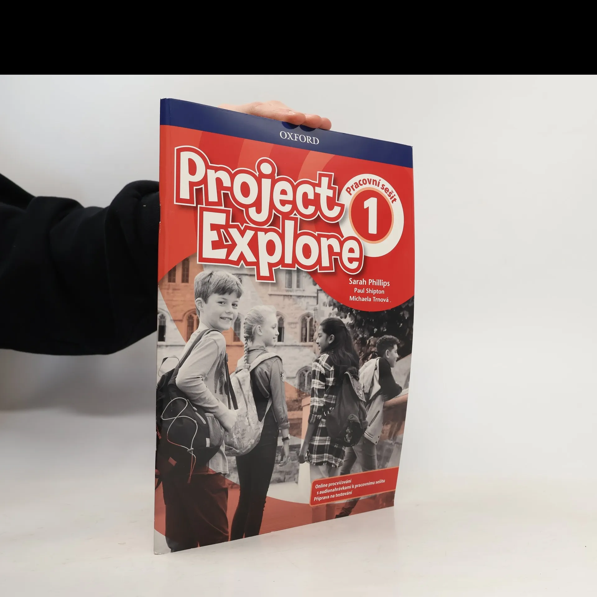
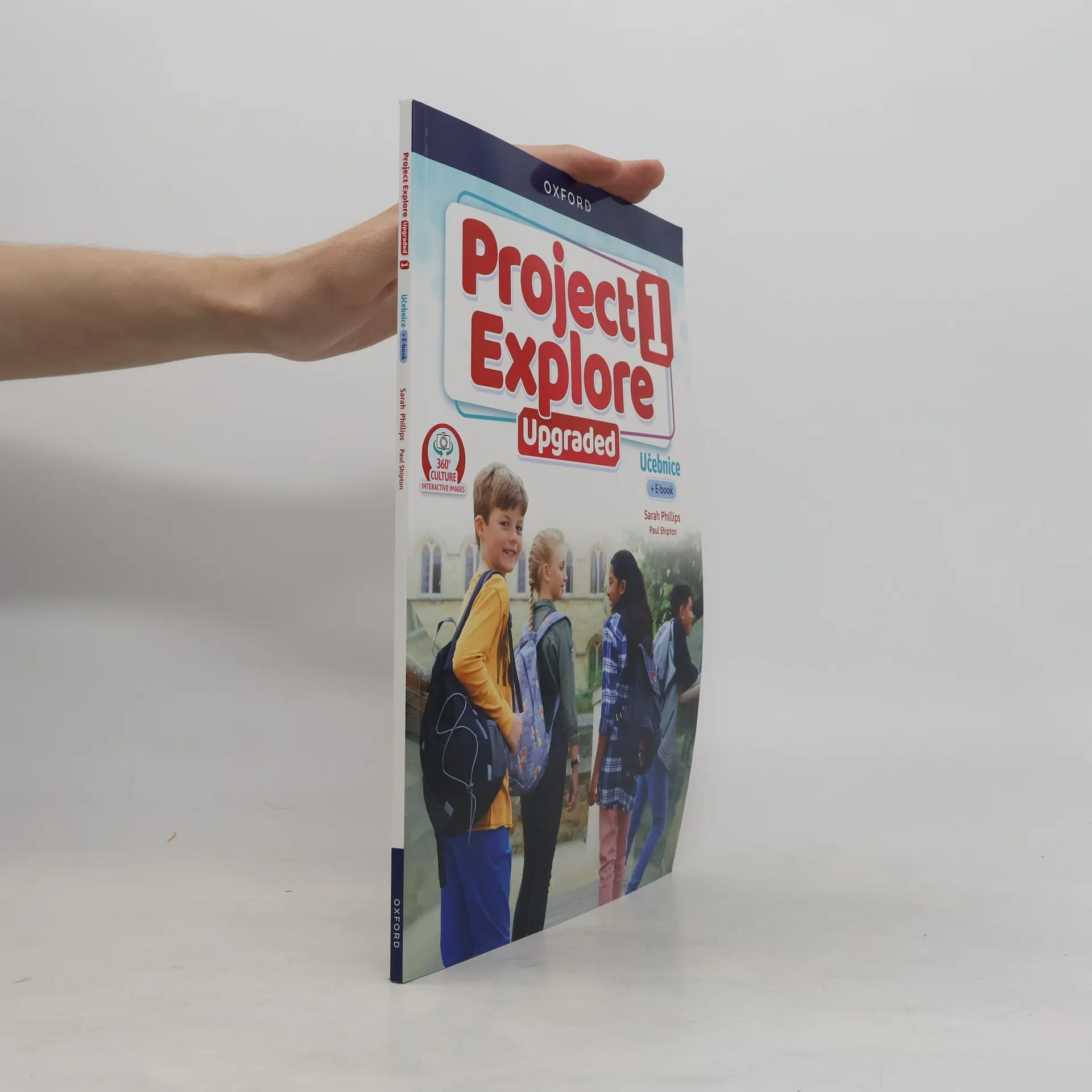
Project Explore is a five-level course which combines the tried and trusted Project methodology and structure with 100% brand-new content from a new author team. Take a look inside and you'll find clearly structured, vibrant lessons with exciting new characters and stories!
Project Explore is a five-level course which combines the tried and trusted Project methodology and structure with 100% brand-new content from a new author team. Take a look inside and you'll find clearly structured, vibrant lessons with exciting new characters and stories!
Key features Prepare students to use English in the real world with a range of topics, texts and tasks. Meet the needs of every student with material which works in mixed ability classrooms and supports every student. Spark curiosity with projects, culture lessons, photostories and cartoons. Develop life skills with activities that encourage creativity, collaboration and communication. Support and challenge your students appropriately at every stage of their learning journey.
A six-level course with a higher vocabulary load and more reading than most primary courses.
A six-level course that gives children more vocabulary, more reading, and more lessons than other primary courses. Your pupils will definitely learn more!
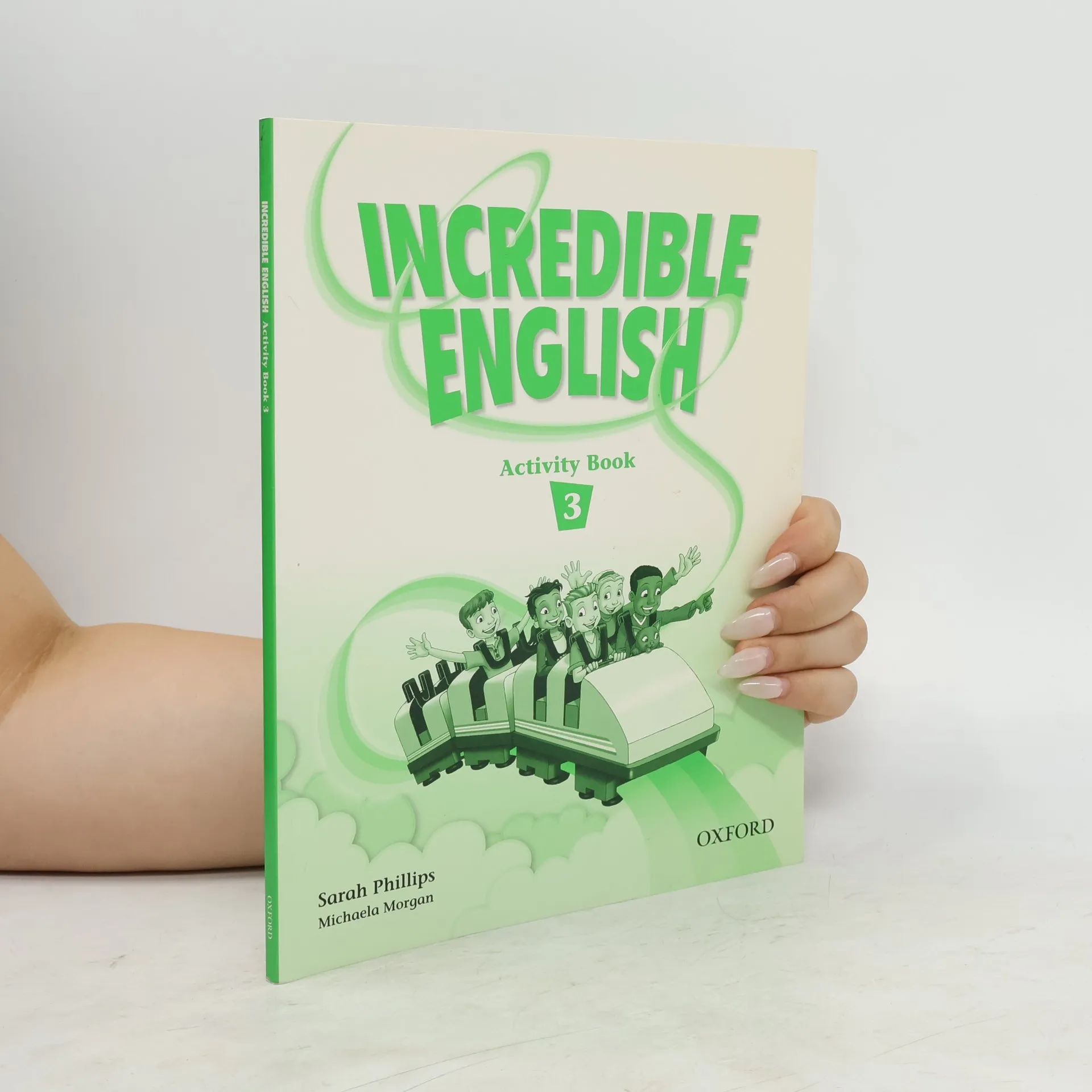
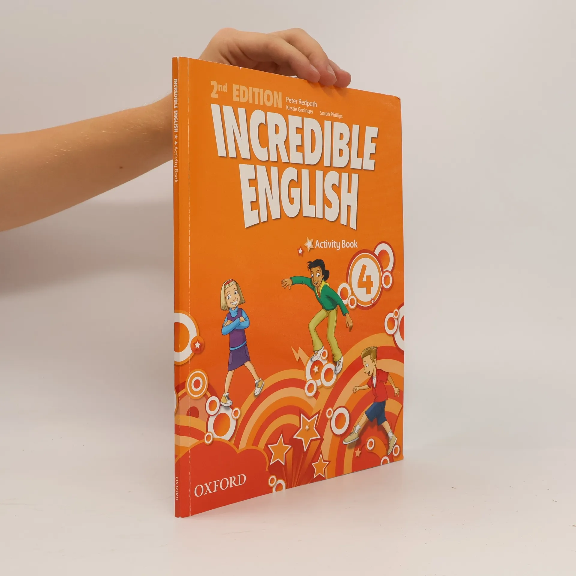
Written by top primary authors, including Sarah Phillips, an expert on how children learn. A CLIL (Content and Language Integrated Learning) section in every unit teaches students other subjects through English. CLIL posters in levels 3-6 extend the topics of the units. Substantial resource pack includes Norton the puppet, flashcards, photocopiable masters, and story frames book. The unique Fixit Game Poster lets children see what they're learning in an engaging, visual way. Cartoon stories written by the award-winning children's author Michaela Morgan.
A six-level course that gives children more vocabulary, more reading, and more lessons than other primary courses. Your pupils will definitely learn more!
A six-level course with a higher vocabulary load and more reading than most primary courses.
Written by top primary authors, including Sarah Phillips, an expert on how children learn. A CLIL (Content and Language Integrated Learning) section in every unit teaches students other subjects through English. CLIL posters in levels 3-6 extend the topics of the units. Substantial resource pack includes Norton the puppet, flashcards, photocopiable masters, and story frames book. The unique Fixit Game Poster lets children see what they're learning in an engaging, visual way. Cartoon stories written by the award-winning children's author Michaela Morgan.
A six-level course that gives children more vocabulary, more reading, and more lessons than other primary courses. Your pupils will definitely learn more
This updated course, now over seven levels, gives you even more brain-challenging activities and cross-curricular lessons. With new Online Practice, more opportunities for speaking and more Cambridge YLE Test practice, your class will learn Incredible English and more!
Written by top primary authors, including Sarah Phillips, an expert on how children learn. A CLIL (Content and Language Integrated Learning) section in every unit teaches students other subjects through English. CLIL posters in levels 3-6 extend the topics of the units. Substantial resource pack includes Norton the puppet, flashcards, photocopiable masters, and story frames book. The unique Fixit Game Poster lets children see what they're learning in an engaging, visual way. Cartoon stories written by the award-winning children's author Michaela Morgan.
Explore Series je ucelená 9dílná série pro základní vzdělávání. Prepare students to use English in the real world with a range of topics, texts and tasks. Meet the needs of every student with material which works in mixed ability classrooms and supports every student. Spark curiosity with projects, culture lessons, photostories and cartoons.…
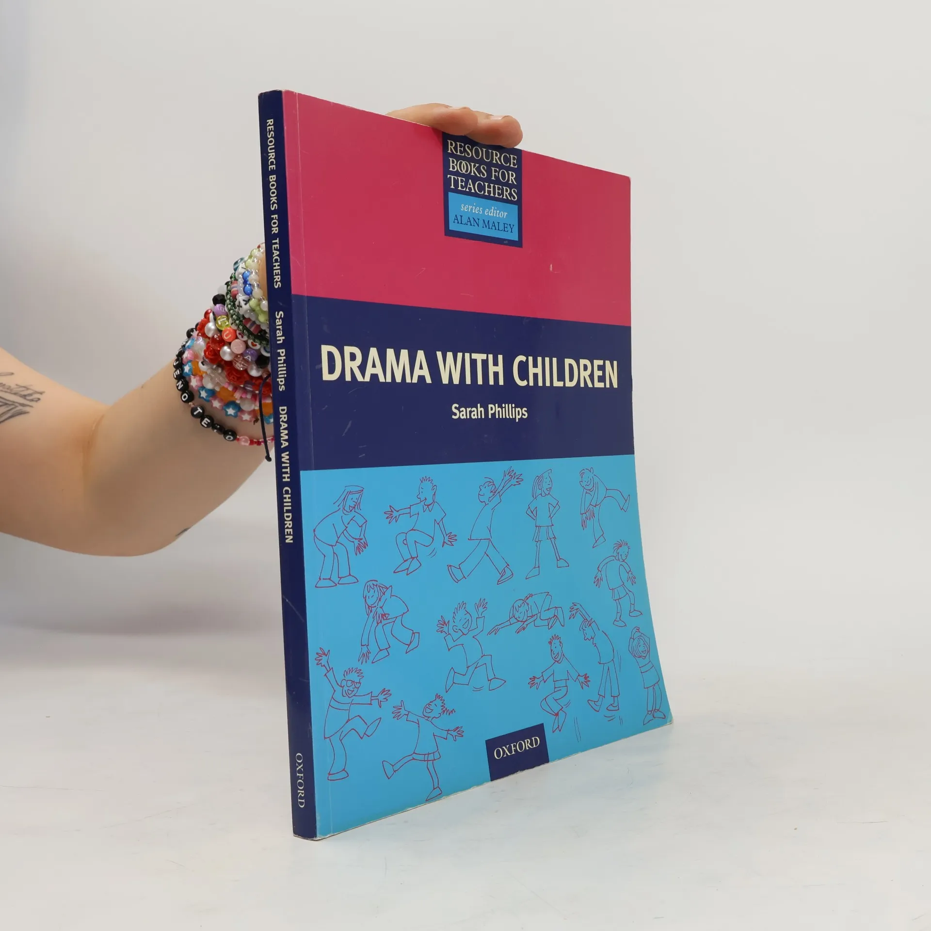
Provides practical ideas for introducing drama activities into the English class, including mime, chants, puppets, role play, and short plays. Shows how the use of drama can improve both speaking and pronunciation, and can also help children to develop self-confidence and express their imagination, personalities and creativity. Demonstrates how activities can be integrated into day-to-day teaching, as well as providing inspiration for performances at open days or end-of-term shows.
Gives teachers various tools they need to make English lessons memorable and fun. Written by popular children's story-writer, this work encourages learning of other skills, such as working with others, learning how to learn, and to understand their own culture and that of other children.
A six-level course that gives children more vocabulary, more reading, and more lessons than other primary courses. Your pupils will definitely learn more!
This updated course, now over seven levels, gives you even more brain-challenging activities and cross-curricular lessons. With more opportunities for speaking and more Cambridge English: Young Learners practice, your class will learn Incredible English and more! Activities that appeal to all learner types and develop thinking skills and civic…
This updated course, now over seven levels, gives you even more brain-challenging activities and cross-curricular lessons. With new Online Practice, more opportunities for speaking and more Cambridge YLE Test practice, your class will learn Incredible English and more!
Covering over 200 main topics, this book is thematically arranged in four sections: the Earth and space; the natural world; our world; and science and technology.
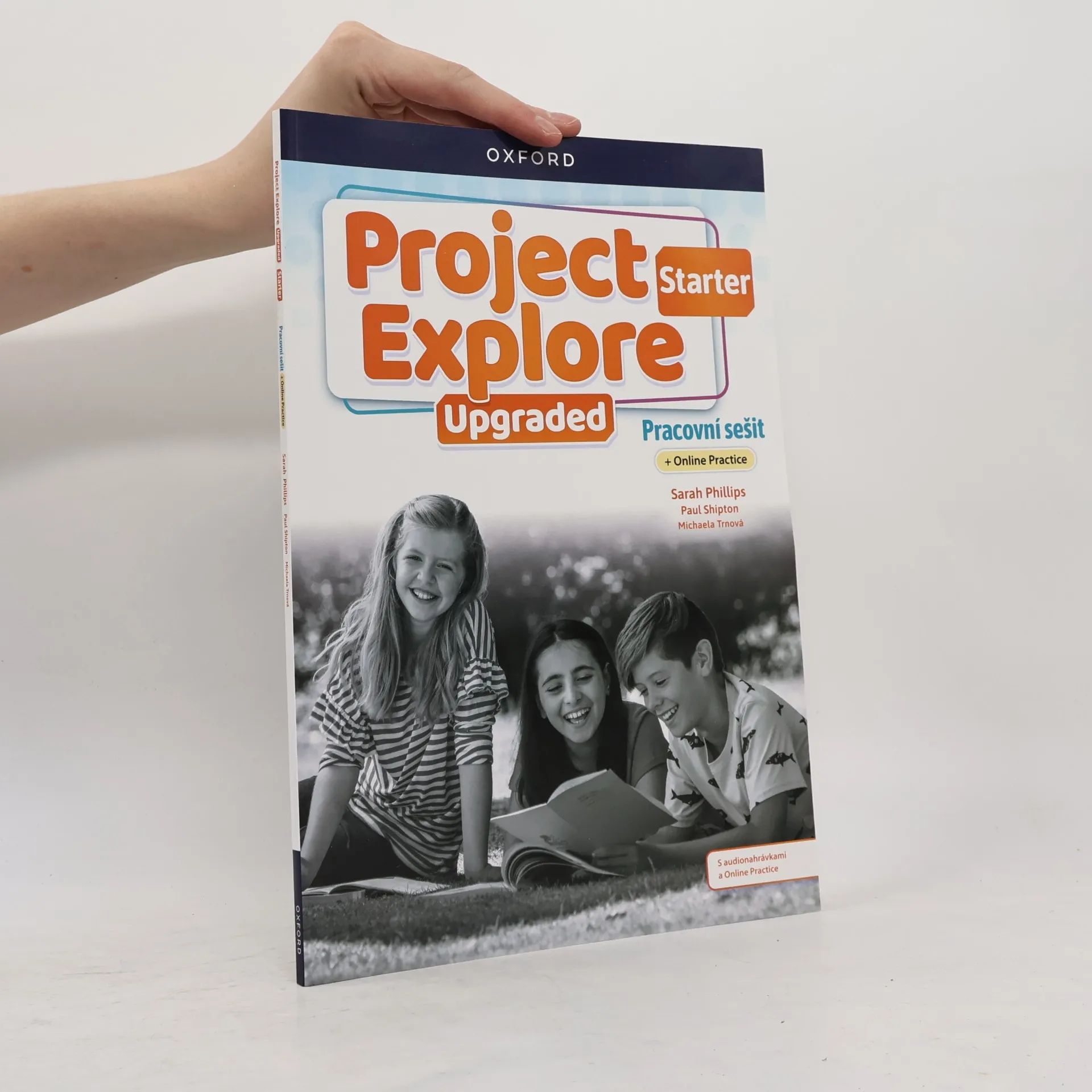
Pracovní sešit: S audionahrávkami a Online Practice
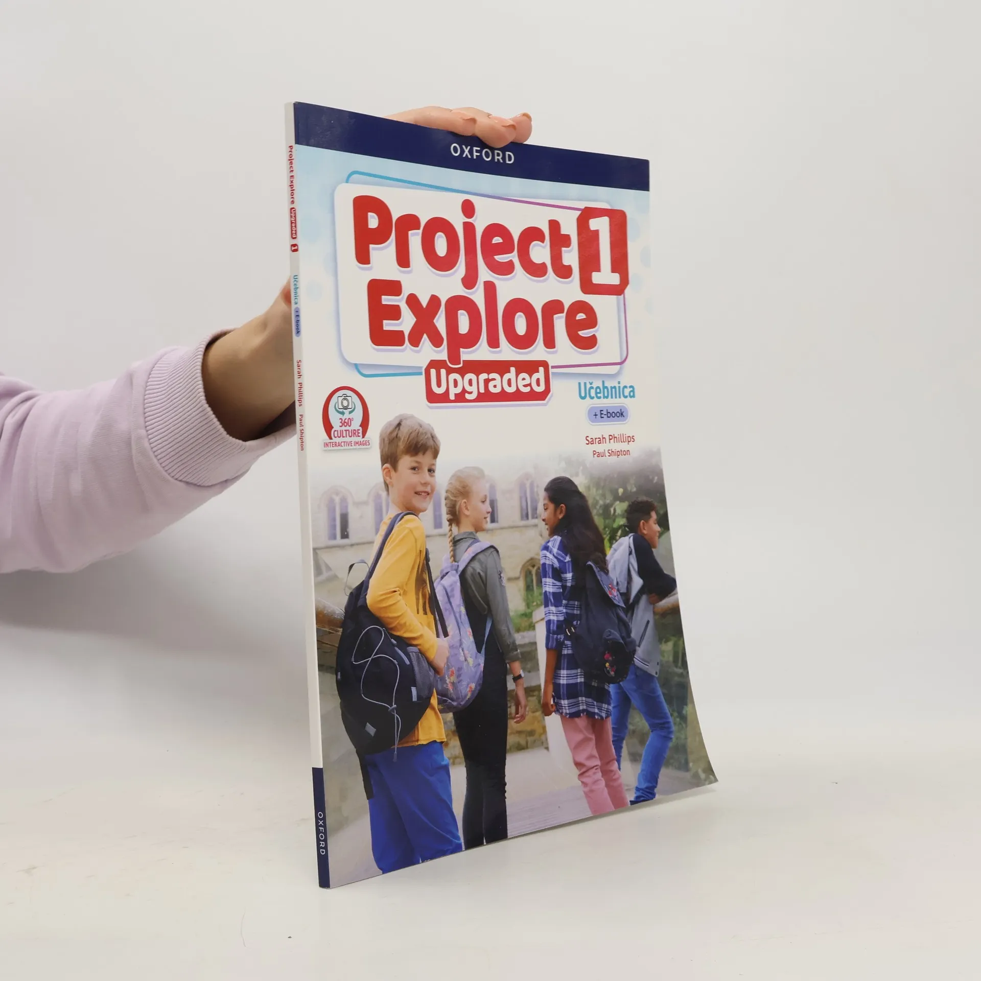
Vydejte se na cestu ke vzdělání! Objevte svět Project Explore s jeho barvitými postavami, vzrušujícími příběhy a inspirativními projekty. Moderní verze zachovává původní koncepci učebnice Project a její osvědčený přístup k výuce mluvnice a slovní zásoby s aktualizovaným designem a vylepšeným obsahem. S Project Explore Upgraded se žáci stanou sebevědomými uživateli jazyka a kreativními mysliteli připravenými pro reálný život. Mezi nové digitální prvky patří: Interaktivní hodiny 360° Culture přenesou žáky do života v jiných kulturách. Animované videonahrávky představují reálné jazykové modely a podporují žáky s různými schopnostmi. Videonahrávky Project Coach představují tipy pro přípravu projektu a práci na něm a usnadňují pokrok žáků. V pracovním sešitu najdete: Další procvičování a upevňování látky z učebnice Stránky zaměřené na plánování a přípravu projektů Stránky zaměřené na kontrolu pokroku žáků a oddíl zaměřený na sebehodnocení žáků Přehled mluvnice Slovníček Přístup k Online Practice a Student Resources na Oxford English Hub
Pracovný zošit
Activity Book
Fantastische Urzeitgiganten - das sind die Dauerbrenner im Kinderzimmer. Dieses praktische Lexikon zum Taschengeldpreis überzeugt durch geballtes Wissen und ist eindrucksvoll und besonders reich illustriert. Doppelseitige Porträts der Urtiere geben Auskunft zu Erdzeitalter, Größe, Ernährung, Familie, Fundorten etc. Spannend, leicht verständlich und kompakt - ideal für Kinder und Jugendliche. Ab 8 Jahren.