Die Entdeckung der Welt in 100 Karten • Berühmte Abenteuerreisen und Entdeckungen in über 100 außergewöhnlichen Landkarten • Von den ersten Reisen der Hominiden bis zu modernen Forschungsreisen ins All: Ein einzigartiger Blick auf die Geschichte der Entdeckungen • Speziell angefertigte Karten zeigen wichtige Expeditionen und Völkerwanderungen • Mit informativen Grafiken und Bildern bedeutender historischer Ereignisse , Persönlichkeiten und Kunstobjekte Eine bildgewaltige Geschichte der Entdeckungsreisen Dieses hochwertige Geschichtsbuch erzählt von den abenteuerlichen Reisen , die die Menschheit im Laufe der Jahrtausende unternommen hat. Von den ersten Wanderungsbewegungen über die Expeditionen Marco Polos bis zur Erforschung des Nordpols : Hier lassen sich Migrationen und Forschungsreisen anhand speziell angefertigter Landkarten nachvollziehen. Spannende Texte und Bilder erzählen von historischen Ereignissen und berühmten Entdeckern . Der Atlas macht die Weltgeschichte auf besondere Weise lebendig und ist eine tolle Lektüre für alle, die sich für Geschichte und Geografie interessieren. Karte für Karte: Die wichtigsten Reisen der Weltgeschichte in einzigartigen Landkarten.
Simon Adams Pořadí knih (chronologicky)
Simon Adams se zaměřuje na psaní a redigování naučné a referenční literatury pro děti. Jeho expertiza zahrnuje historii, politiku a současné dění, přičemž se významně věnoval tématům jako průzkum, hudba a umění. Působí také jako uznávaný jazzový kritik a recenzent. Adams přispěl k tvorbě rodinných i dospělých referenčních knih a působil jako redakční konzultant pro různé historické a jiné tituly. Jeho rozsáhlá tvorba, čítající přes šedesát knih, pokrývá širokou škálu témat a oslovuje čtenáře napříč generacemi.


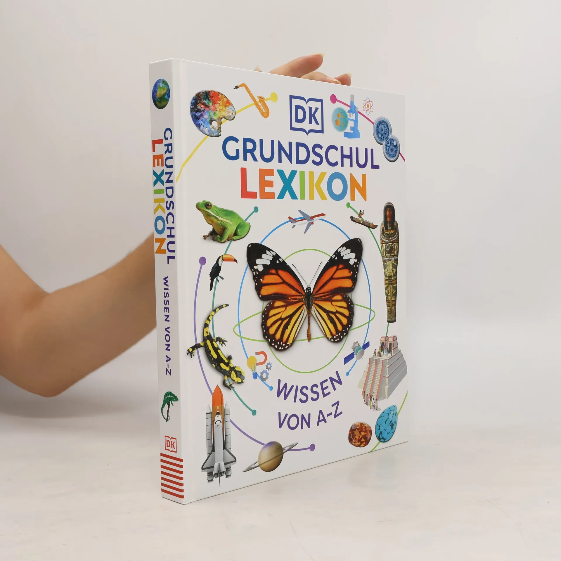
DK Grundschullexikon
Wissen von A-Z. Das große Kinderlexikon mit über 250 Themen und mehr als 1.000 Bildern
- 320 stránek
- 12 hodin čtení
Das große Kinderlexikon für die Grundschule bietet Kindern ab 6 Jahren spannendes Wissen von A bis Z. Mit über 250 Themen und mehr als 1.000 Bildern wird Wissen aus Natur, Geschichte und Technik anschaulich vermittelt. Es ist ideal für Hausaufgaben und Referate und ein perfektes Geschenk zur Einschulung.
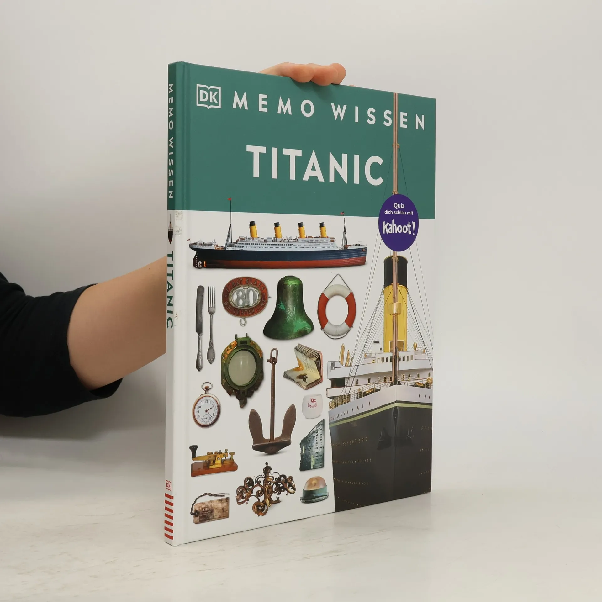
memo Wissen. Titanic
Bau des Luxusliners, Leben an Bord, tragischer Untergang: Kompetentes Sachwissen und kahoot-Quizfragen. Für Kinder ab 8 Jahren
- 72 stránek
- 3 hodiny čtení
The Kingfisher World History Atlas
- 192 stránek
- 7 hodin čtení
A pictorial guide to the world's people and events, 10000 BCE-present.
Mass Atrocities, the Responsibility to Protect and the Future of Human Rights
'If Not Now, When?'
- 144 stránek
- 6 hodin čtení
Focusing on the concept of the Responsibility to Protect (R2P), this book analyzes significant instances of mass atrocities from 2005 onward, exploring both occurrences and interventions. It intricately connects historical events with political decisions, offering insights into the effectiveness and challenges of R2P in preventing humanitarian crises. Through detailed case studies, the narrative examines the complexities of global responses to atrocities, highlighting lessons learned and the ongoing struggle to uphold human rights.
Kernfragen. Politik
- 160 stránek
- 6 hodin čtení
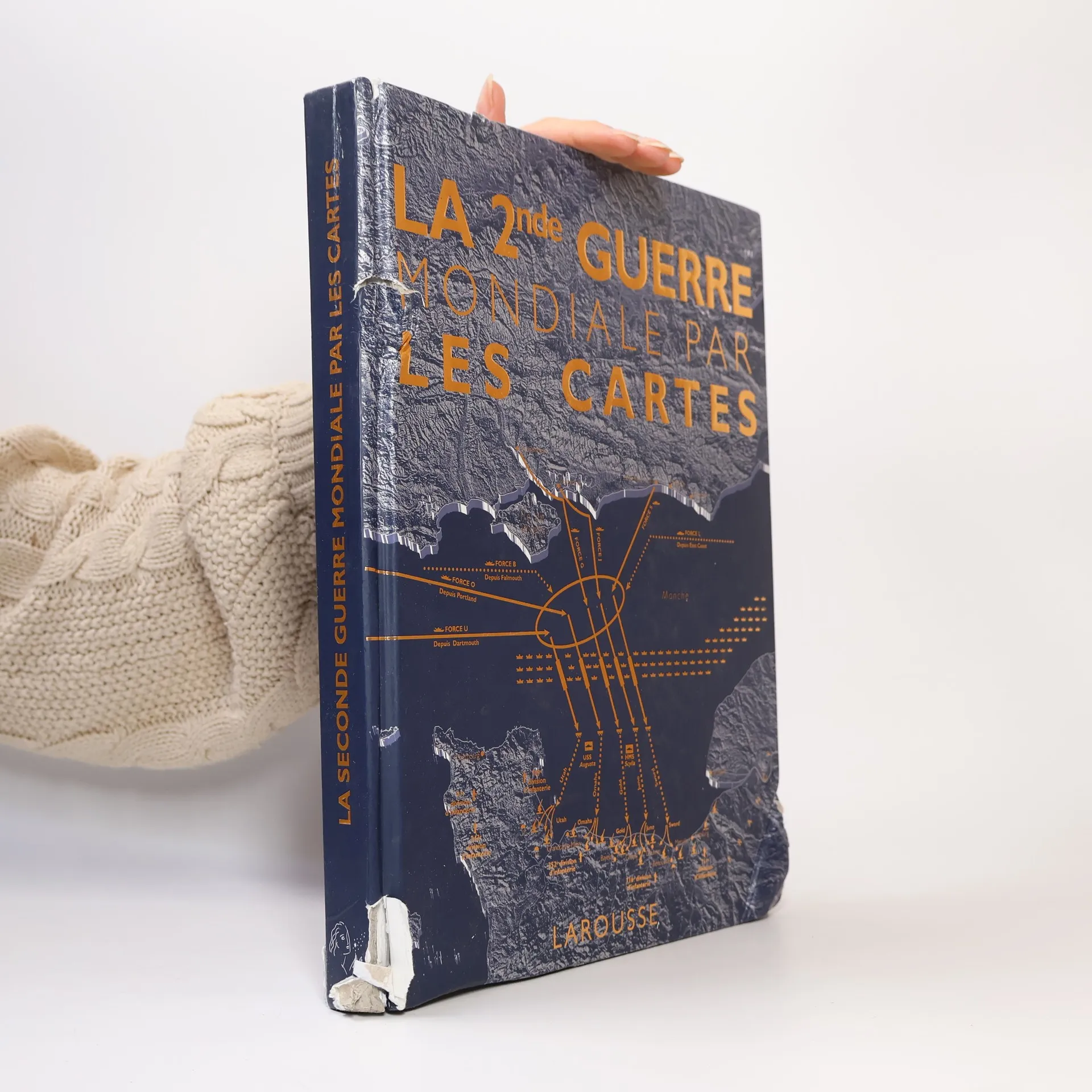
La 2nde Guerre mondiale par les cartes
- 300 stránek
- 11 hodin čtení
De la fin de la Première Guerre mondiale aux débuts de la guerre froide, de la défaite française de 1940 au Débarquement en passant par la guerre dans le Pacifique, Stalingrad, la libération des camps de concentration, et même les réseaux d’espionnage, cet ouvrage raconte grâce à près de 150 cartes, expliquées et commentées, l’histoire du conflit le plus meur trier de tous les temps. La bataille d’Angleterre, Pearl Harbor, le ghetto de Varsovie, les guerres sous-marine et aérienne, l’engagement du Moyen-Orient... Chaque événement est replacé dans son théâtre d’opérations et l’évolution du conflit clairement représentée, sur tous les fronts et dans chaque camps. Différents niveaux d’informations, des photographies d’archives, des portraits des protagonistes vous guideront à travers tous ces moments clés et indispensables pour comprendre l’his toire de cette guerre qui a façonné le monde moderne.
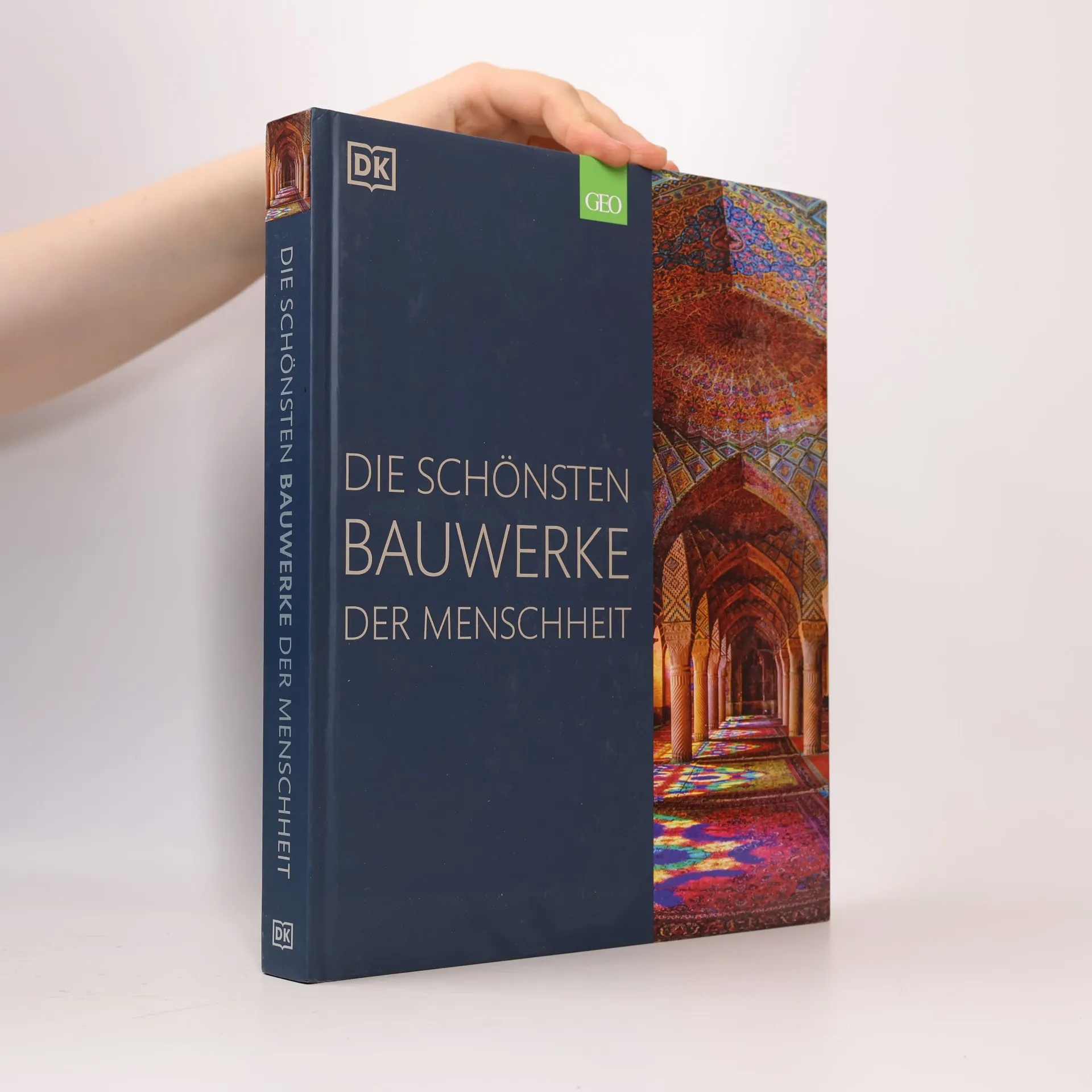
Die schönsten Bauwerke der Menschheit
Bildband mit Fotos bekannter Sehenswürdigkeiten aller Kontinente und Epochen. Grafiken zu architektonischen Details
- 336 stránek
- 12 hodin čtení
Entdecken Sie die beeindruckendsten Bauwerke der Welt in diesem reich bebilderten Buch, das von Stonehenge bis Burj Khalifa reicht. Mit über 950 Fotos und spannenden Texten werden die architektonischen Meisterwerke und ihre Entstehungsgeschichte lebendig. Eine faszinierende Reise durch Geschichte und Innovation!
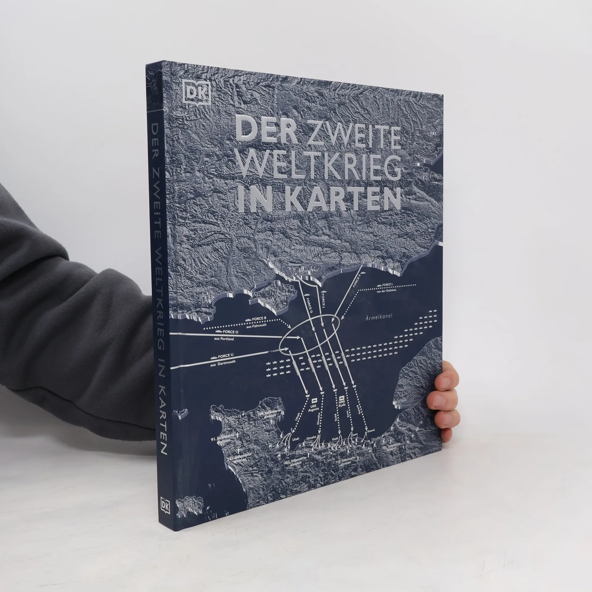
Der Zweite Weltkrieg in Karten
Eine geografische Reise durch die Geschichte des Zweiten Weltkriegs. Mit 100 historischen und modernen Karten
- 288 stránek
- 11 hodin čtení
Ein außergewöhnlicher Blick auf den Zweiten Weltkrieg Karte für Karte stellt dieses Buch den schrecklichsten Konflikt der Geschichte visuell dar. Noch nie wurden Abläufe und Hintergründe des Zweiten Weltkriegs in so thematisch vielfältigen Karten und in diesem großen Detailreichtum dargestellt wie in diesem imposanten Nachschlagewerk . Über 100 historische und moderne Karten sowie informative Grafiken nehmen Sie mit in den harten Kriegsalltag, zu den prägendsten Momenten der Kriegsgeschichte und den wichtigsten Heerführern. Eine geografische Reise durch die Geschichte des Zweiten Weltkriegs Dieses Geschichtsbuch ist viel mehr als ein Nachschlagewerk! Mit thematischen Karten erzählt es die Abläufe und Entwicklungen des Krieges mit einem völlig neuen Zugang und macht sie so anschaulich wie nie. Ein umfassender Überblick über alle Kriegsstationen in 5 Kapiteln • Der Weg in den Krieg (1918–1939) • Deutschland auf dem Vormarsch (1939–1941) • Der Krieg weitet sich aus (1942) • Das Blatt wendet sich (1943–1944) • Endphase und Nachkriegszeit (1944–1955) Ein innovativer Zugang zur Geschichte des Zweiten Weltkriegs – verfolgen Sie Karte für Karte die prägendsten Kriegsmomente & Kriegsschauplätze!
Die Geschichte der Welt in Karten
- 360 stránek
- 13 hodin čtení
Encyclopedia of Knowledge
- 384 stránek
- 14 hodin čtení
Explore space, planet earth, plants, animals, history, science, technology, and culture with this wonderfully comprehensive encyclopedia. Useful features include visual factfiles, bulleted facts, charts, world records, bizarre facts and top tens. The book is fully crossreferenced throughout and is packed with diagrams, illustrations and photos, making it a brilliant guide to everything you have ever wanted to know.
Project Ancient Egypt
- 32 stránek
- 2 hodiny čtení
Super-cool facts sit alongside hands-on activities in this exciting series. Readers can learn how to play an ancient board game, make a royal headdress and write in hieroglyphics through step-by-step pictures and instructions.
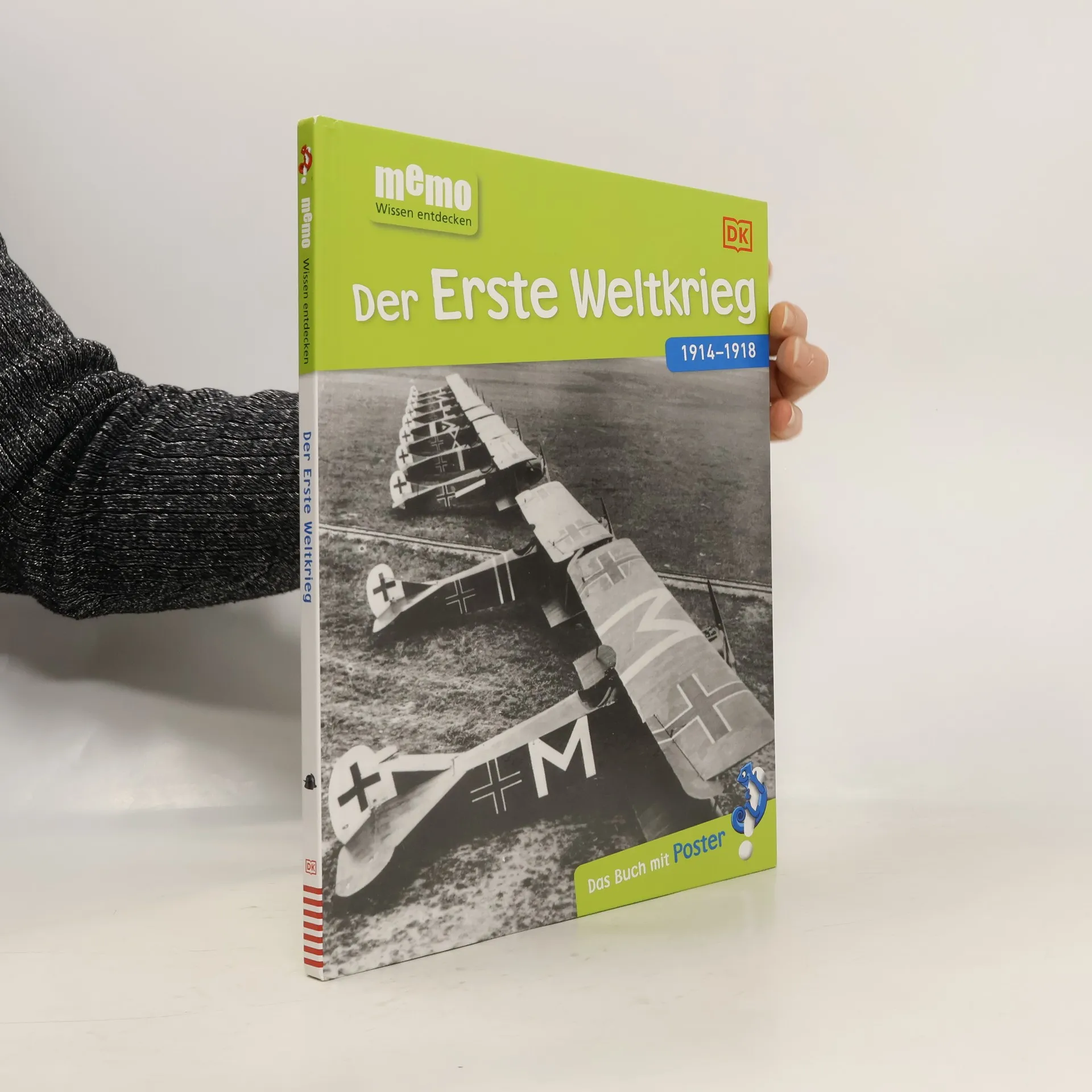
Der Erste Weltkrieg - Das Buch mit Poster!
- 72 stránek
- 3 hodiny čtení
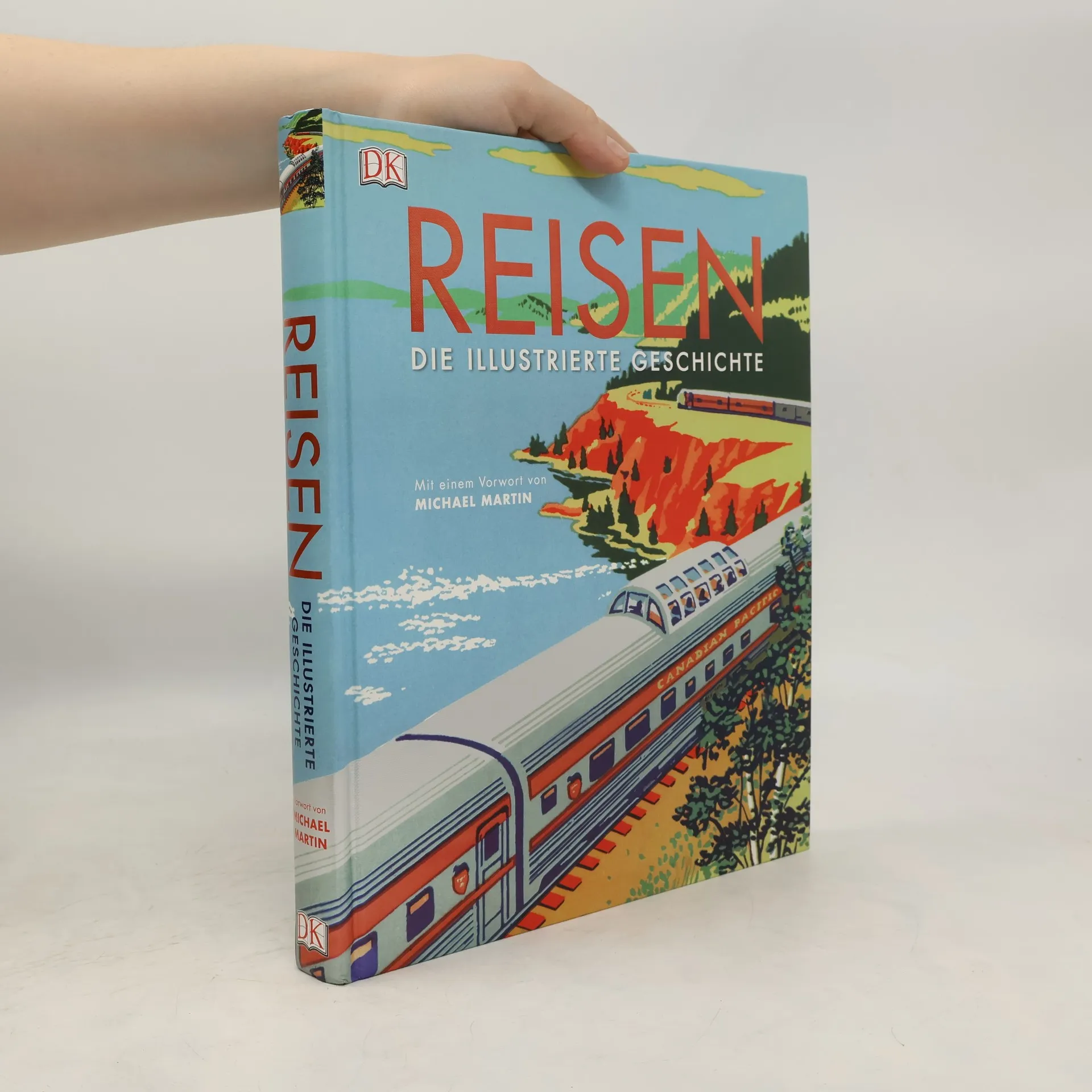
Reisen. Die illustrierte Geschichte
- 360 stránek
- 13 hodin čtení
Ausgezeichnet mit dem ITB BuchAward 2018, bietet dieses opulente Nachschlagewerk eine umfassende Geschichte des Reisens, von den Entdeckungen und Abenteuern bis hin zu Erfindungen. Es präsentiert historische Reisen, bedeutende Errungenschaften und Pioniere in Form eines reich illustrierten Bildbands. Über 760 Fotos und Illustrationen zeigen beeindruckende Szenen von der Antike bis zur Gegenwart. Das nostalgische Leinenstruktur-Cover und das Vorwort des renommierten Fotografen Michael Martin verleihen dem Werk zusätzlichen Charme. Die Entwicklung des Reisens wird eindrucksvoll dargestellt, beginnend mit den Reisen der Griechen und dem römischen Straßennetz bis hin zu Zeppelinflügen, Alpenüberquerungen und den ersten Mond- sowie Marsmissionen. Leser können die Spuren neugieriger Wissenschaftler, abenteuerlustiger Eroberer und mutiger Entdecker verfolgen, die aus verschiedenen Beweggründen wie Glauben, Migration oder Handel um die Welt reisten. Michael Martin, ein erfahrener Fotograf, Vortragsreferent und Abenteurer, zieht mit seinen über 30 Jahren Reiseerfahrung und zahlreichen Publikationen das Interesse aller Reisebegeisterten auf sich. Sein Projekt „Planet Wüste“ umfasst 40 Expeditionen in die extremsten Wüsten der Erde und hat internationale Anerkennung gefunden.
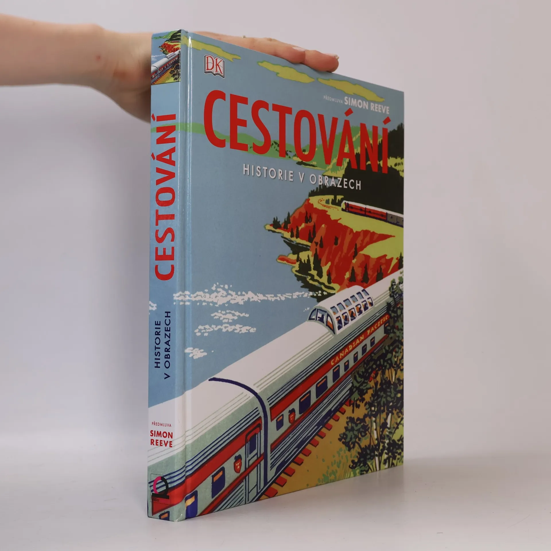
Cestování. Historie v obrazech
- 360 stránek
- 13 hodin čtení
U zrodu cestování stály nejrůznější podněty – od migrace a výprav za potravou až po obchod, vědeckou zvědavost, poutní cesty nebo obyčejnou touhu po dobrodružství. Tento úchvatný vizuální průvodce vypráví příběhy lidského putování, od hedvábné stezky po velkolepý program Voyager. Prozkoumejte starověké mapy, životopisy dobyvatelů a cestovatelů, příběhy vědeckých objevů a technologického pokroku, dechberoucí umělecká díla a katalogy upomínek z cest. Tato světová kronika je oslavou lidského putování, a zaručeně potěší každého milovníka cestování a historie.
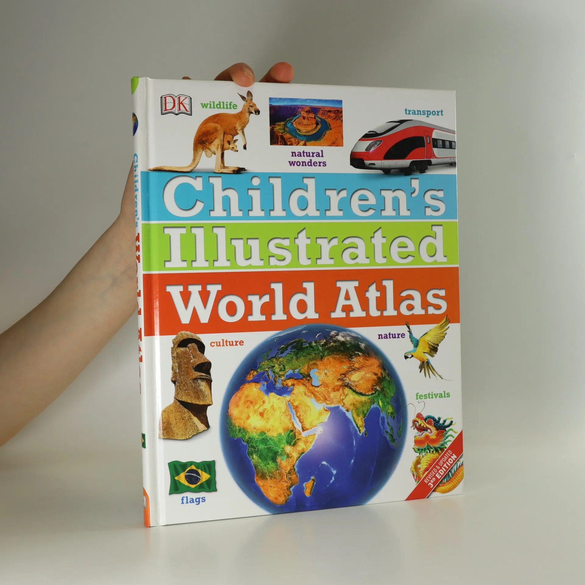
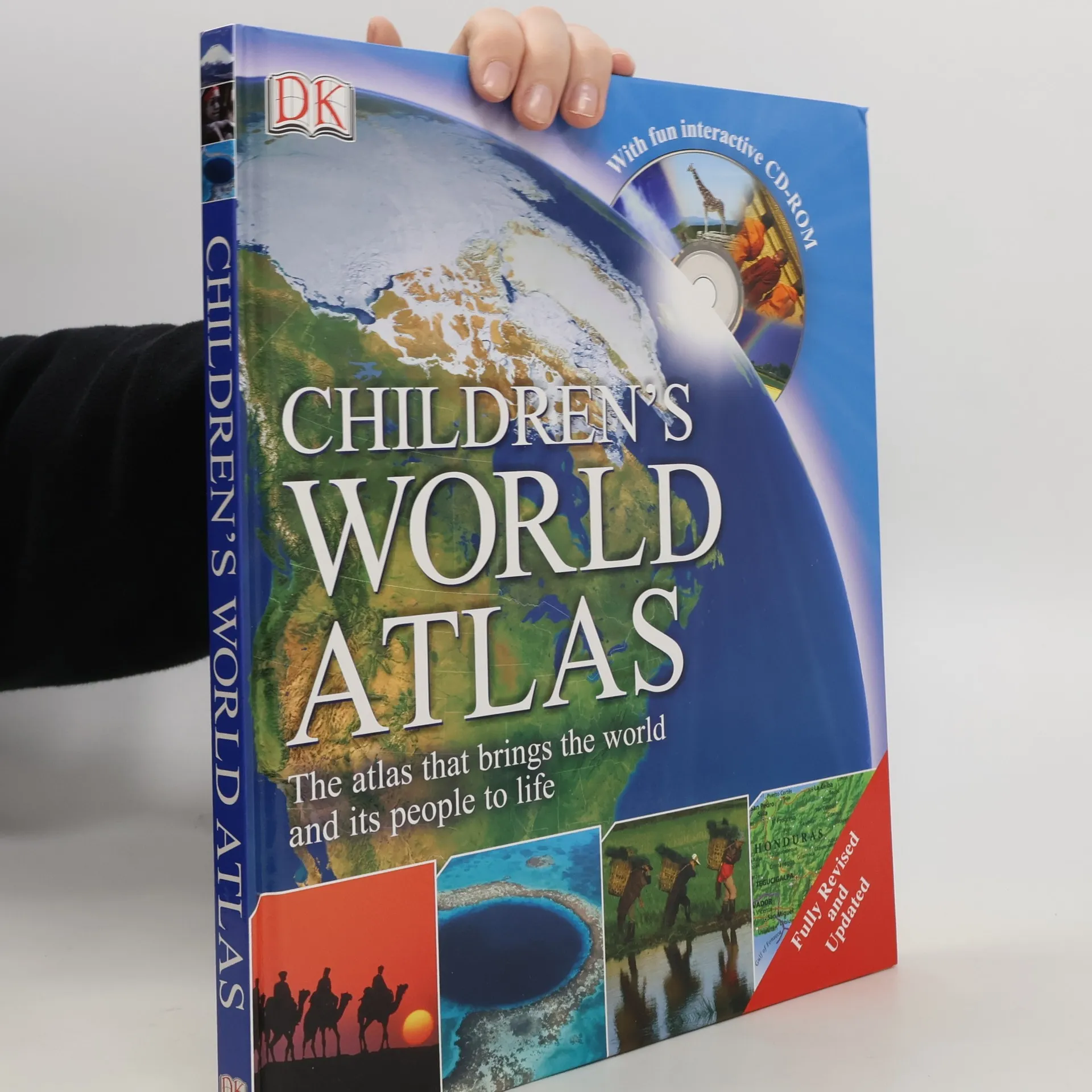
Children's Illustrated World Atlas
- 144 stránek
- 6 hodin čtení
The Children's Illustrated World Atlas is the essential reference for budding geographers and curious minds.
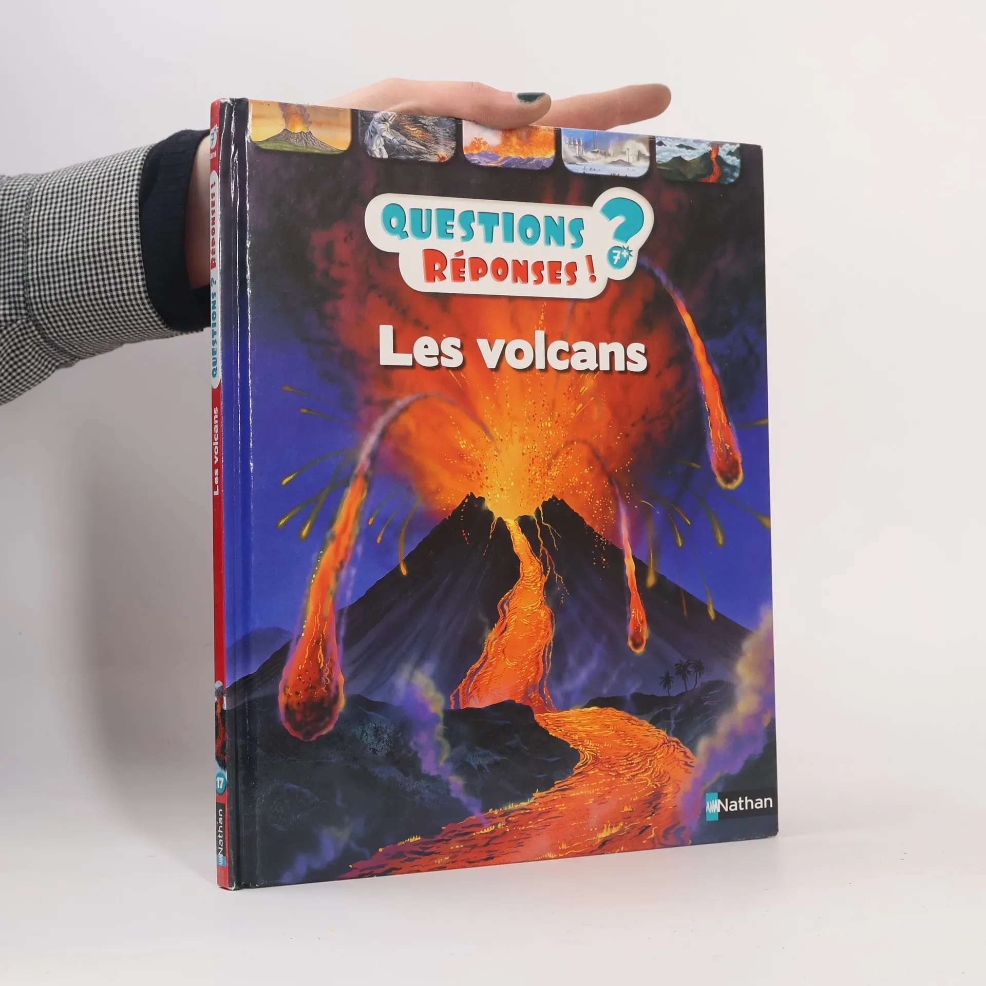
Questions Réponses! - 17: Les volcans
- 32 stránek
- 2 hodiny čtení
Des questions et des réponses sur les volcans.
Preparati ad affrontare le brutali sfide del nostro mondo selvaggio! Fotografie drammatiche e centinaia di fatti incredibili mostrano il nostro pianeta e tutto ciò che contiene. Questo titolo offre una prospettiva intensa su argomenti di riferimento fondamentali. Dai disastri naturali e animali mortali a battaglie brutali nella storia e scoperte scientifiche esplosive, il testo ricco di azione e i concetti di design straordinari offrono un'esperienza di lettura avvincente. Scopri: come gli elefanti maschi combattono fino alla morte durante la stagione degli accoppiamenti; cosa ha causato lo tsunami del 2011 che ha devastato l'isola principale del Giappone, Honshu; come il Caterpillar 797F può trasportare fino a 363 tonnellate; come il cobra reale record misura 5,7 m di lunghezza.
Second World War
- 64 stránek
- 3 hodiny čtení
This Ladybird Histories Book is perfect for children learning about the Second World War at school. It looks at the countries that took part, where key battles and campaigns took place, and the impact the war had on ordinary people around the world. It's packed full of interesting and entertaining details that will delight all readers--from lifestyles, battles, and important characters, to the influence that events in history have played on the world around us today--and has everything you need to know about the Second World War for school homework!
Hiking Great Smoky Mountains National Park - 2nd Edition
- 320 stránek
- 12 hodin čtení
This guide features 82 hikes within Great Smoky Mountains National Park, America's most visited national park. It is complete revised and updated.
Der erste Weltkrieg
- 72 stránek
- 3 hodiny čtení
Warum brach der Erste Weltkrieg aus? Wie waren die Soldaten ausgerüstet? Welche Rolle spielten Frauen im Krieg? Auf diese und viele weitere Fragen bekommen Kinder in Band 68 der großen neuen Wissensreihe memo Antworten. Eindrucksvolle Bilder von Waffen, Kampffliegern und dem Leben in den Schützengräben während des leidvollen Stellungskriegs kombiniert mit gut gegliederten, kurzen Texten erklären die Thematik sachlich kompetent und für Kinder leicht verständlich. Auch schwierigere Sachverhalte werden so begreifbar. Rubriken wie „Erstaunliche Fakten“, „Fragen und Antworten“ oder „Wichtige Personen und Orte“ vertiefen das vermittelte Wissen, ein Glossar am Ende des Buches gibt einen Überblick zum gesamten Thema. Ideal als Ergänzung zum Schulunterricht und für Referate. Extra: Das Riesenposter zum Thema “Der Erste Weltkrieg" vertieft das Wissen noch einmal auf einen Blick. In der großen Wissensreihe memo sind alle schulrelevanten Themen abgedeckt. Hier findet bestimmt jedes Kind sein Lieblingsthema!
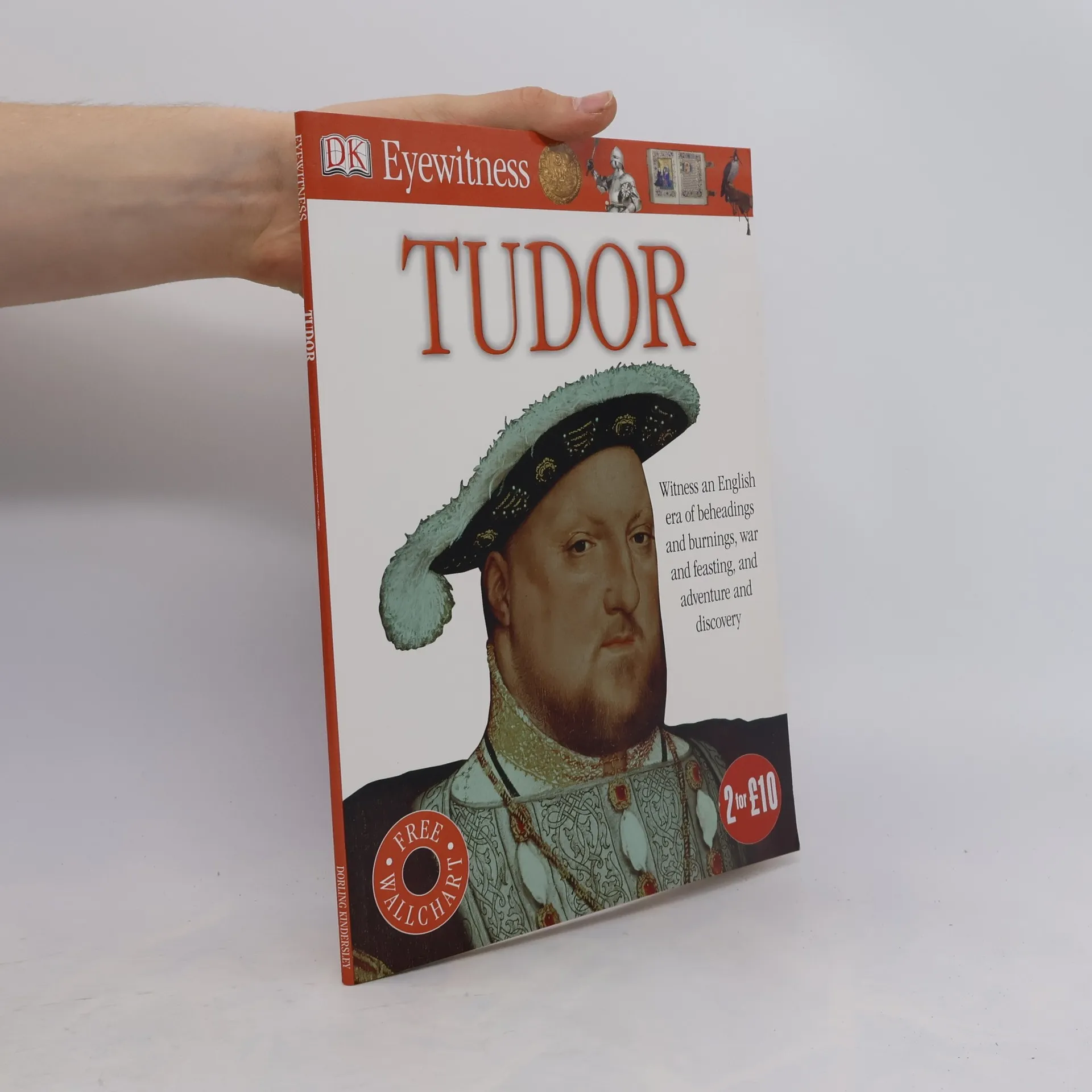
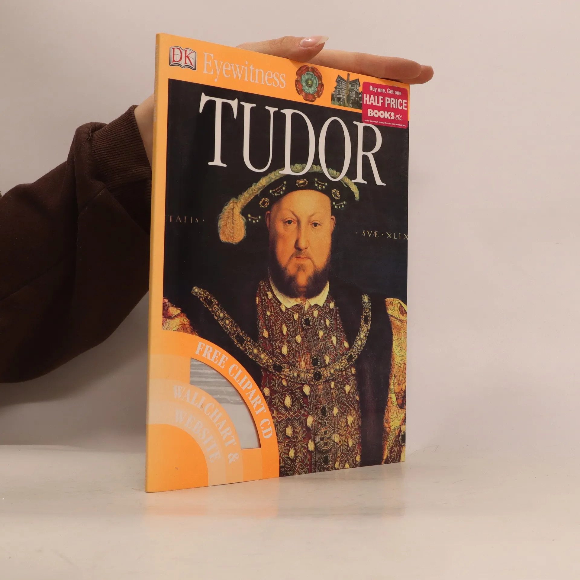
Eyewitness: Tudor
Witness an English Era of Beheadings and Burnings, War and Feasting, and Adventure and Discovery
- 48 stránek
- 2 hodiny čtení
DK Eyewitness Tudor is a spectacular and informative guide to one of the most turbulent periods in English history. Amazing photographs offer your child a unique "eyewitness" view of the fascinating characters who influenced Tudor times. From the severed heads of traitors displayed on London Bridge to what life was like for Tudor children, and the controversial Kings and Queens: let your child learn all about the life and times of The Tudors. Great for projects or just for fun, make sure your child learns everything they need to know about the Tudors.
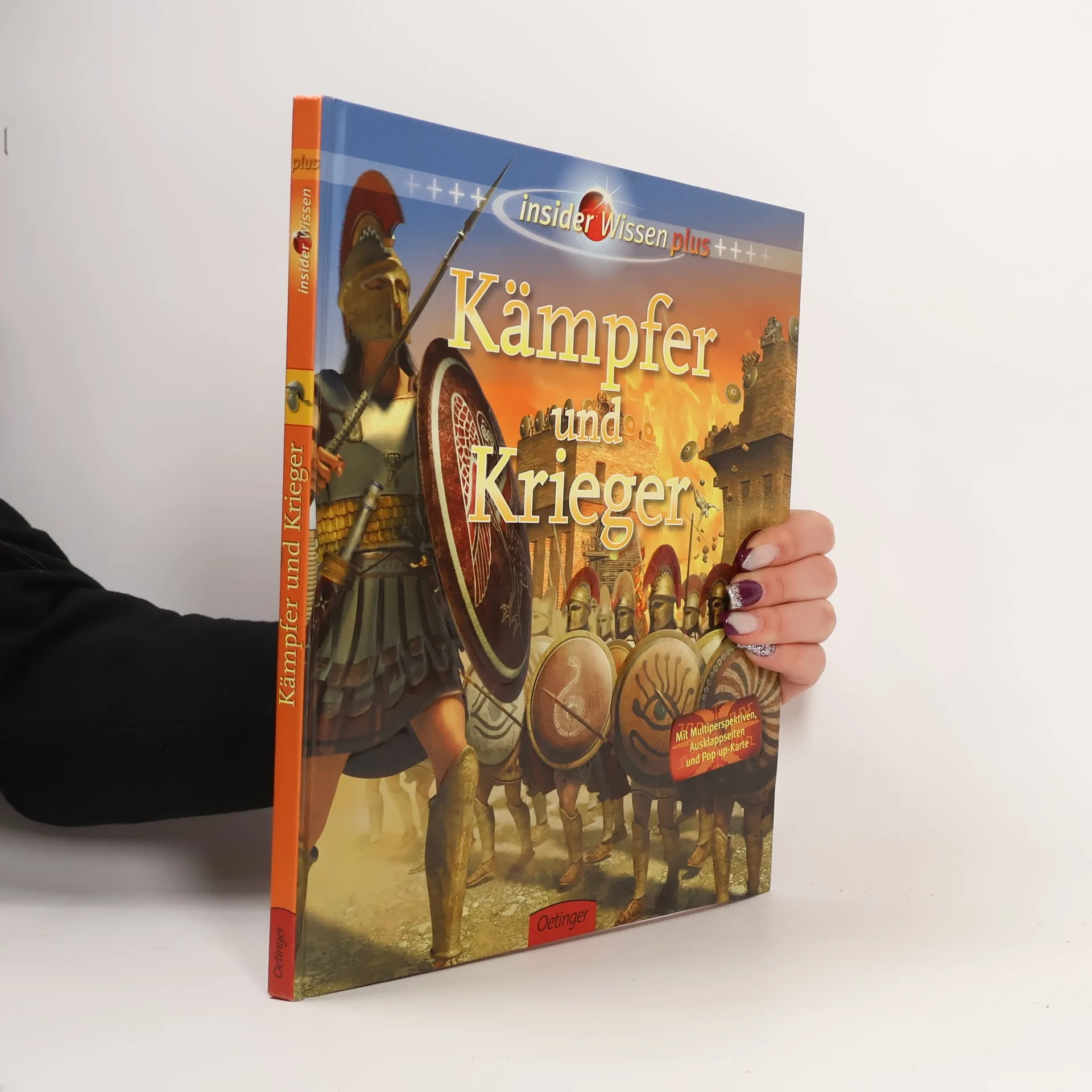
Insider Wissen plus: Kämpfer und Krieger
Mit Multiperspektiven, Ausklappseiten und Pop-up-Karte!
- 64 stránek
- 3 hodiny čtení
Aufwendig illustriertes Sachbuch über kriegerische Völker, Kampfgruppen und berühmte Einzelkämpfer der Geschichte. Mit Ausklappseiten und Pop-up-Karte. Ab 10 Jahren.
Children's Illustrated Encyclopedia
- 363 stránek
- 13 hodin čtení
Children's Illustrated Internet Linked Encyclopedia (Abridged Edition). RRP 19.99 [Unknown Binding] Alicia Ingty; Ashwin Khurana and Suchismita Banerjee
How to Paint Citadel Miniatures
- 96 stránek
- 4 hodiny čtení
Fully illustrated throughout with examples from the Warhammer, warhammer 40,000 and The Lord of the Rings ranges.
Historie světa
- 600 stránek
- 21 hodin čtení
Kniha podává bohatě ilustrovaný portrét 19. století, zahrnuje klíčové události a informace ze všech oblastí lidské činnosti – politiky, filozofie, náboženství, umění, sportu i ze všedního života. Je rozdělena do deseti oddílů po jednotlivých desetiletích s vlastním úvodem a stručným přehledem nejvýznamnějších událostí, které jsou pak představeny rok po roce. Přináší také množství portrétů osobností, které století ovlivnily. - kalendář shrnující zásadní události na začátku každého roku - přehledná záhlaví pro lepší orientaci v knize - medailonky významných osobností ve zvýrazněných rámečcích - na konci tabulky s přehledy významných fakt a čísel - přehledný rejstřík - více než 700 neobyčejných ilustrací.
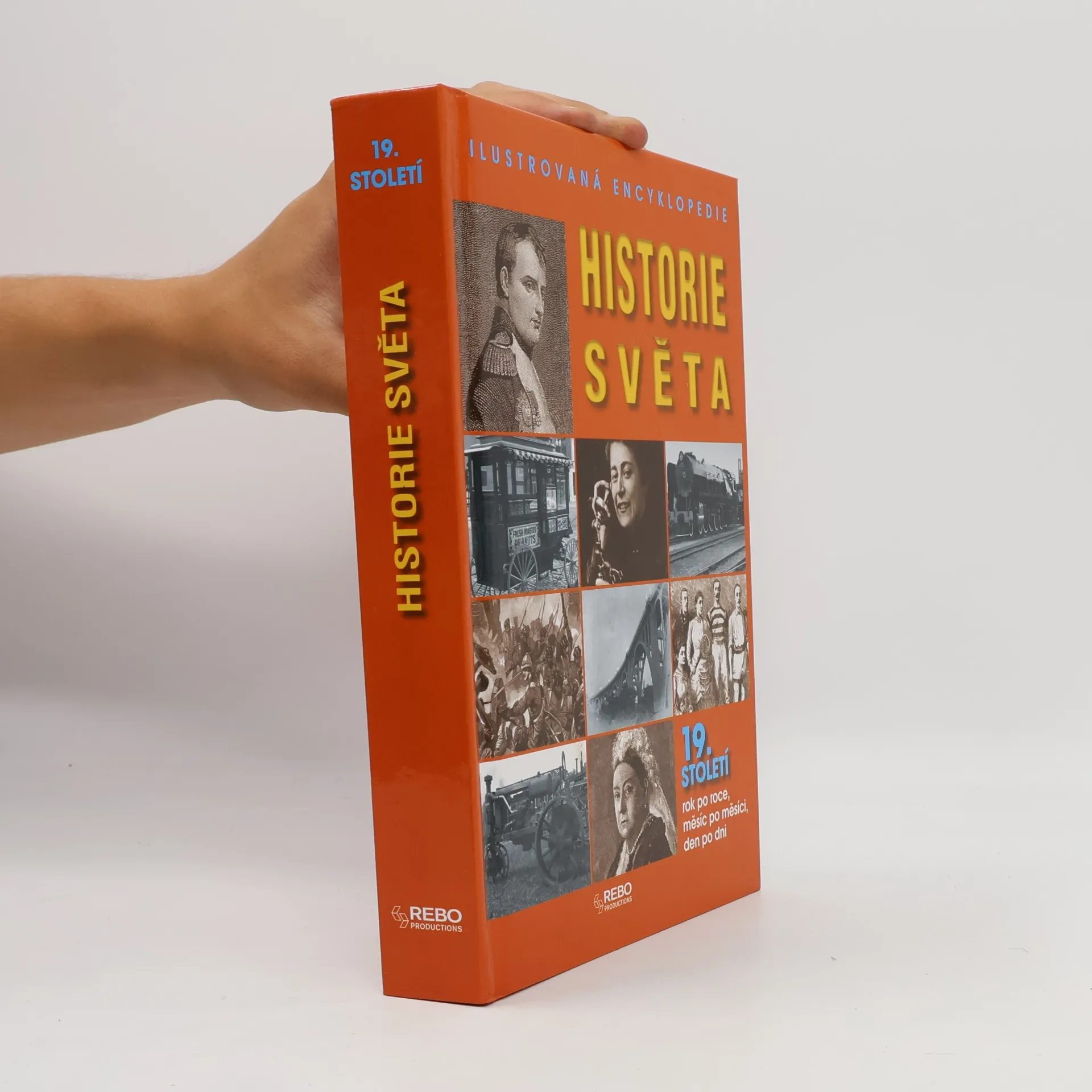
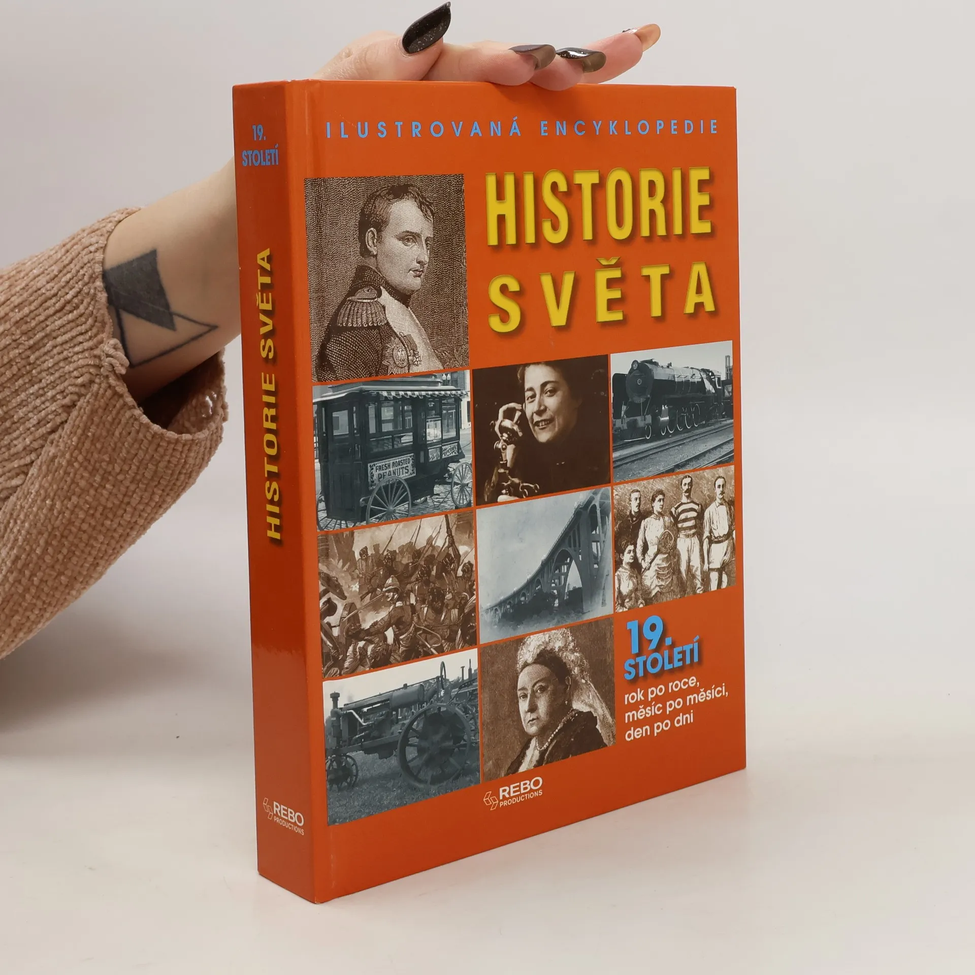
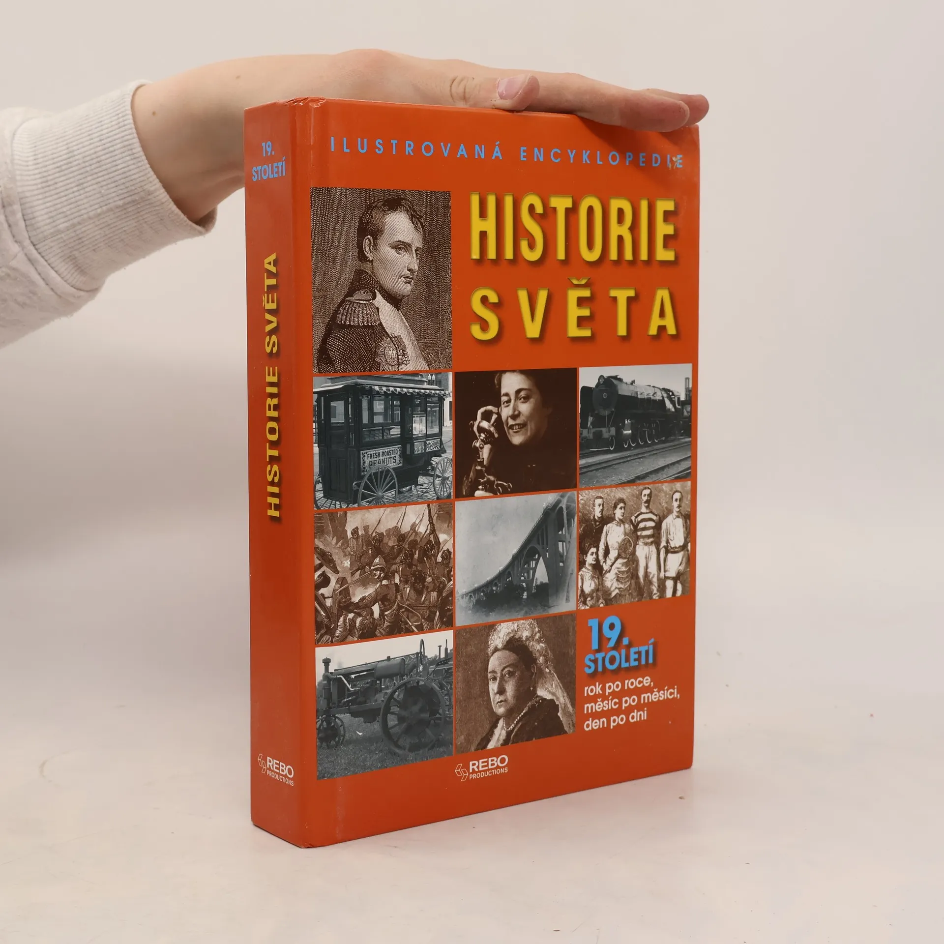
Historie světa : ilustrovaná encyklopedie : 19. století rok po roce, měsíc po měsíci, den po dni
- 1200 stránek
- 42 hodin čtení
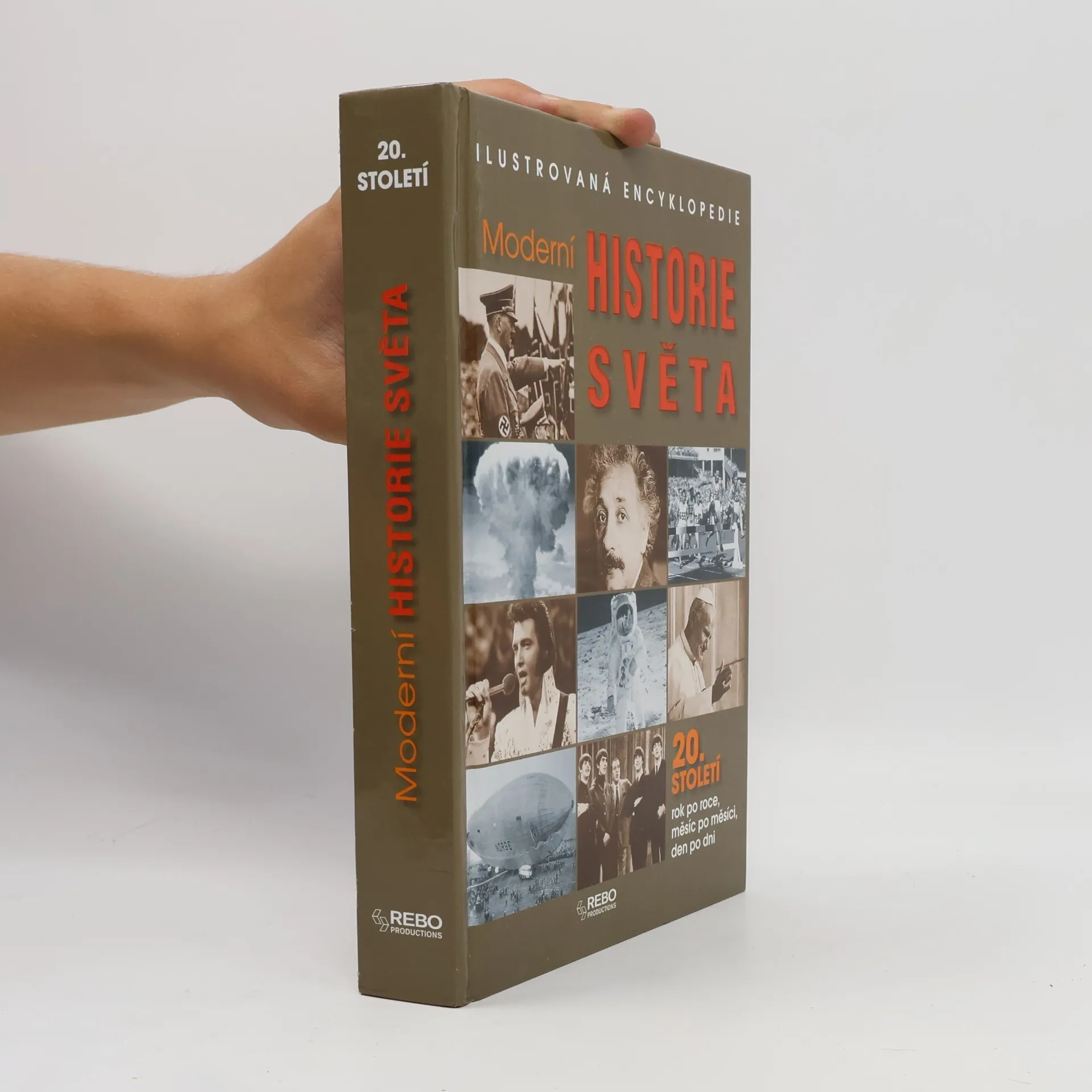
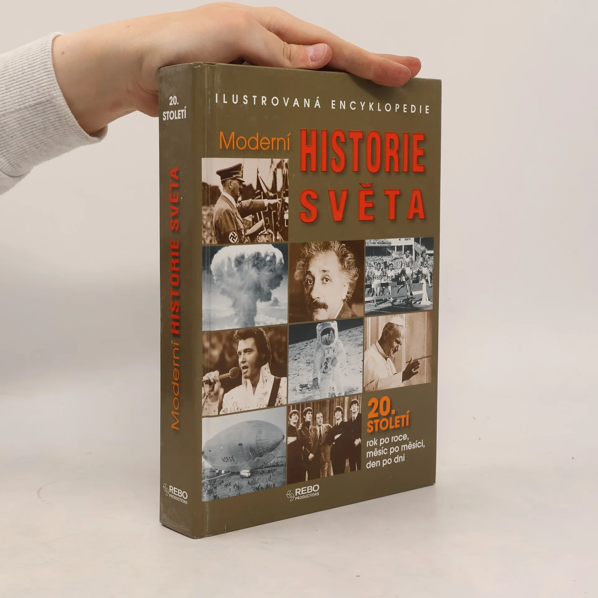
Moderní historie světa
- 608 stránek
- 22 hodin čtení
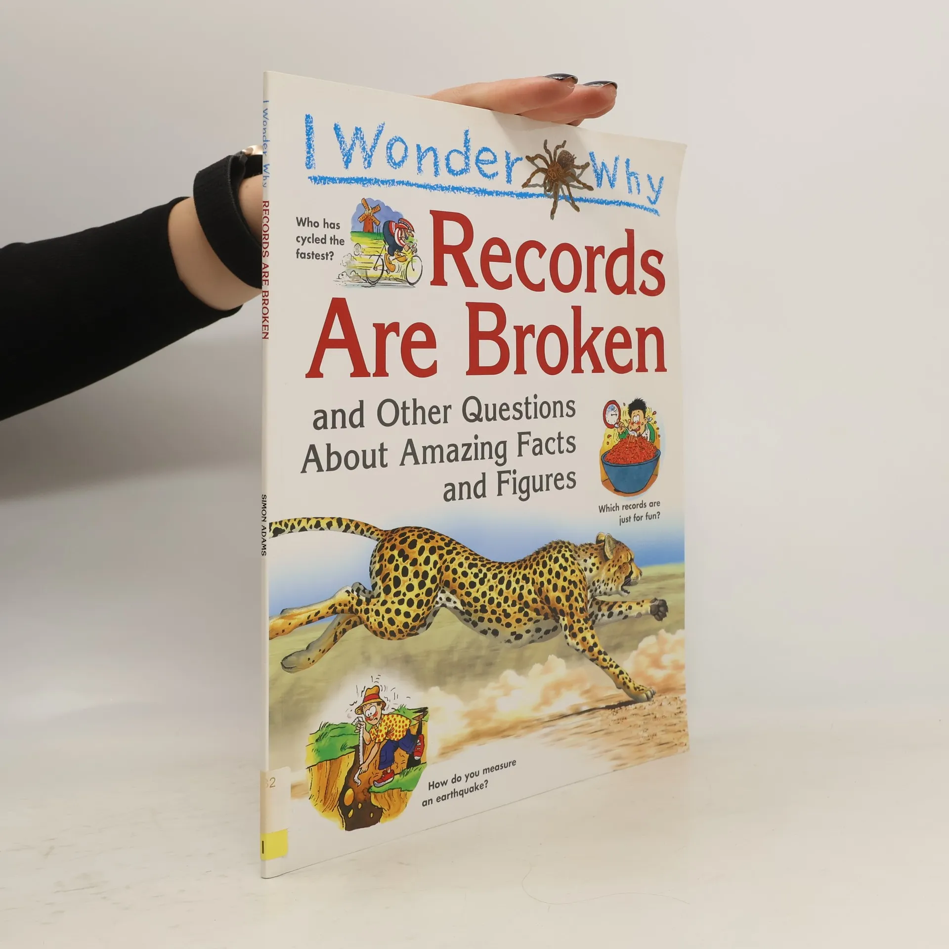
I Wonder Why Records Are Broken
- 32 stránek
- 2 hodiny čtení
I WONDER WHY RECORDS ARE BROKEN takes a look at the biggest, the smallest, the highest, the lowest, the fastest, the slowest . . . and many other facts, figures, records and measurements from both the natural world and the various fields of human achievement. A whole host of topics are covered, from science and engineering to sport, history, nature, exploration and space travel.
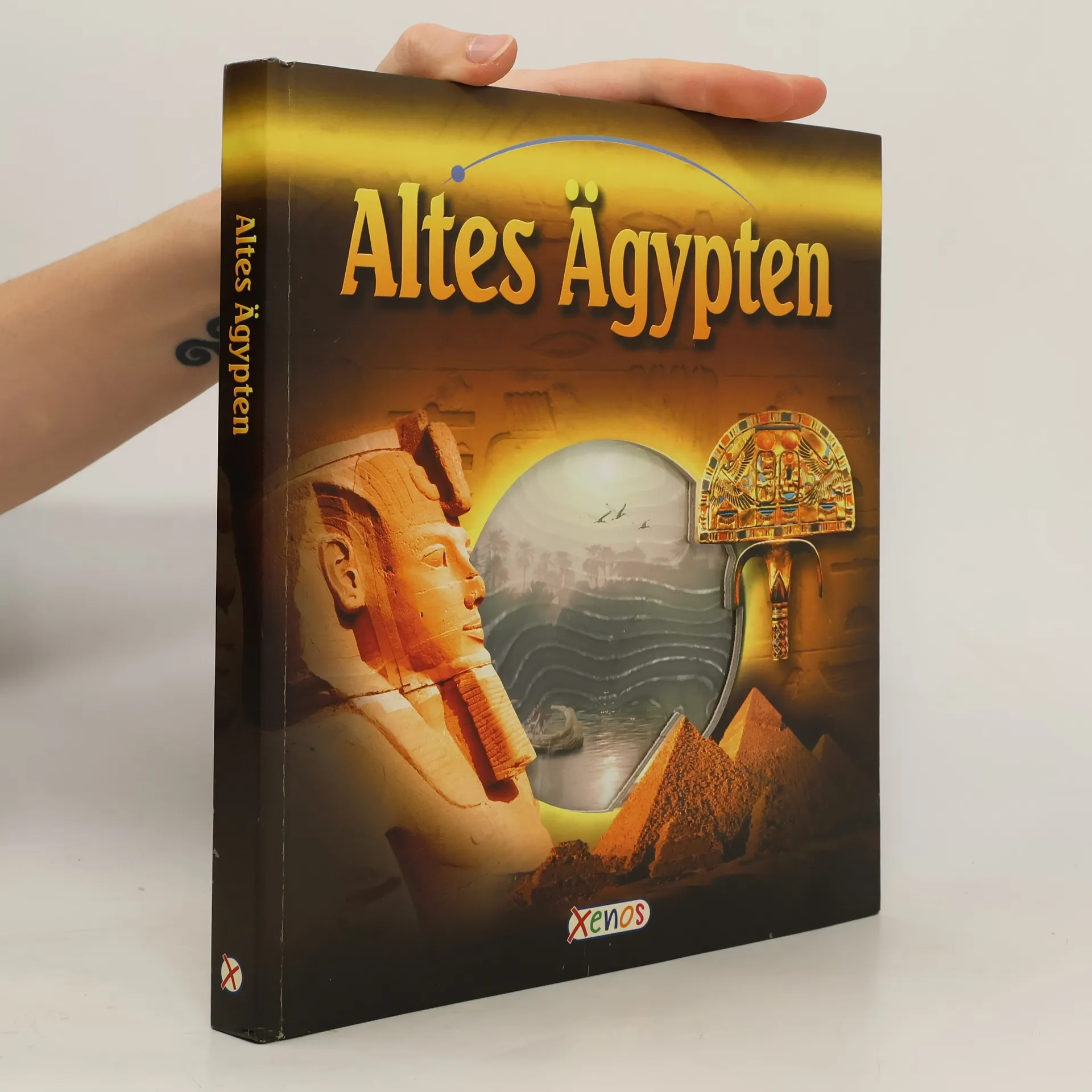
Altes Ägypten: Dieses Buch ist für Kinder ab 8 Jahren gedacht, die sich für das alte Ägypten interessieren und mehr darüber erfahren möchten. Der Ägyptologe Kent Weeks führt die Lesenden durch das Buch. Beginnend im Nildelta, weiter nach Heliopolis und vorbei an den Pyramiden bei Giseh. Kindern werden die Bräuche und Traditionen der alten Ägypter nahegebracht und andere Besonderheiten interessant erklärt. Es wird gezeigt, wie sich eine Mumie innerhalb von 3000 Jahren verändert und wie die grosse Cheops-Pyramide erbaut worden ist. Ausserdem erzählt der Ägyptologe von seinen eigenen Ausgrabungen und was er im Laufe der letzten Jahrzehnte über eine der grossartigsten Kulturen, die es je gegeben hat, gelernt hat. Jede Seite enthält jeweils einen kürzeren Text, der von Fotos, Landkarten und Computerillustrationen ergänzt wird. Ein Register hilft den Kindern, sich im Buch zurechtzufinden. Einzelne Seiten sind aus Folien oder aufklappbar, was das Lesen noch spannender macht. Empfehlenswert für Ägypteninteressierte und solche, die es noch werden möchten. Ab 8 Jahren, ****, Sarah Bamberger.
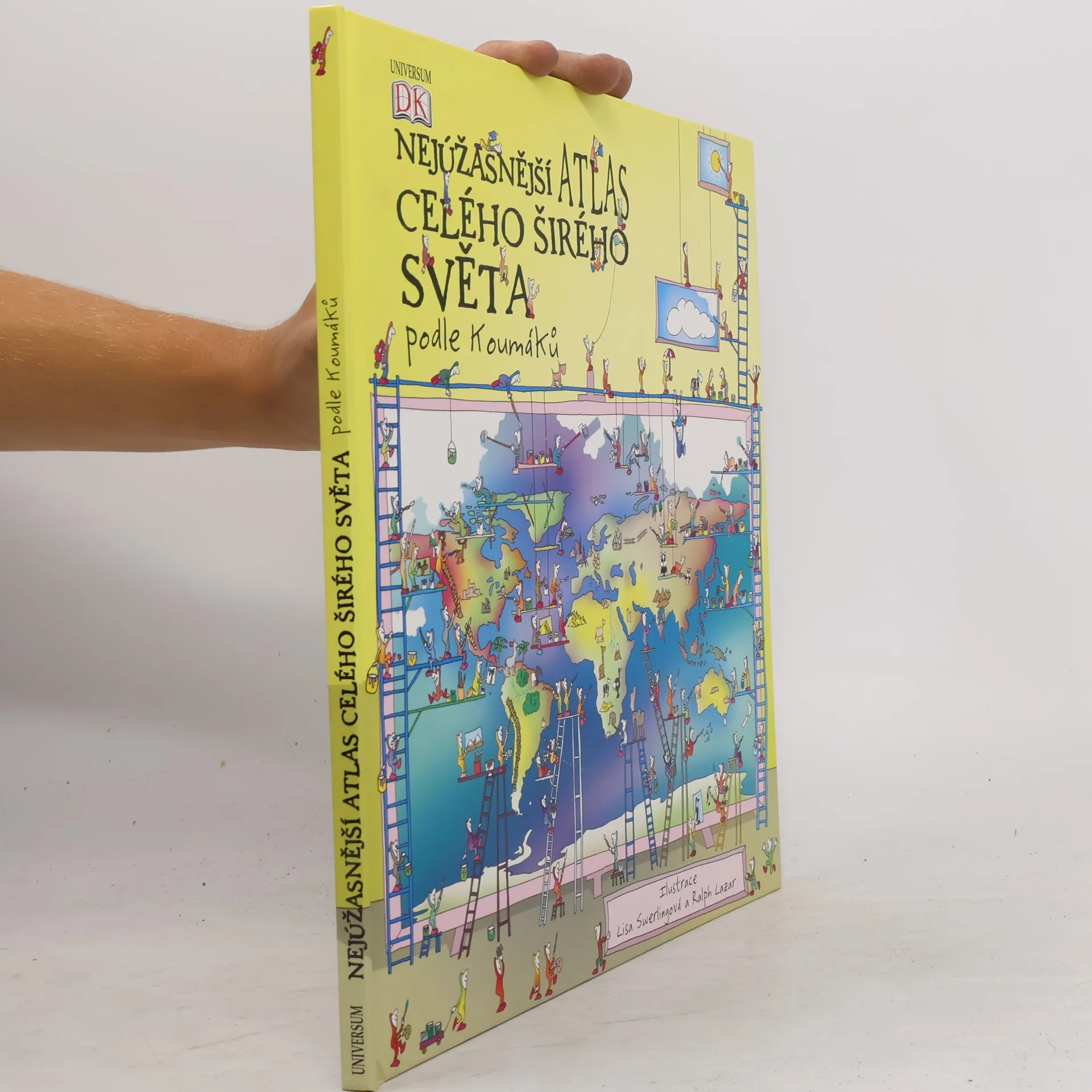
Nejúžasnější atlas celého širého světa podle Koumáků
- 61 stránek
- 3 hodiny čtení
Podnikavé, energické a všetečné postavičky jménem Koumáci vás provedou po dobrodružné cestě kolem světa tak, jak jsme ho ještě neviděli. Ústřední částí knihy je šestice rozkládacích stran, z nichž každá se zaměřuje na jeden ze šesti kontinentů: Severní Ameriku, Jižní Ameriku, Afriku, Evropu, Asii a Austrálii a Oceánii. Kromě toho je zde popsána i celá řada souvisejících témat včetně stavby Země, světového obyvatelstva, oceánů a počasí a podnebí. Na vrchních dvou stranách každé rozkládačky začínáme cestu kontinentem na vtipně ilustrovaných mapách představujících jeho fyzický zeměpis. Po rozložení vrchních stránek se objeví krajina nabitá informacemi o obyvatelích, zvycích, hospodářství a slavných místech každé ze zemí na světadílu. Na dvoustranách mezi rozkládačkami se seznámíme se zeměpisem našeho světa, od podvodní krajiny hlubokých oceánů po počasí a podnebí všech oblastí, a od hornin a procesů dodávajících našemu světu tvar po neskutečnou pestrost jeho obyvatel.
Tato fascinující encyklopedie pokrývá dějiny lidské civilizace od prvního využití ohně prehistorickým člověkem a příchodu doby ledové až po první obeplutí zeměkoule a dobytí jižního pólu. Kniha, která je napsána živým, čtivým stylem a obsahuje více než 800 barevných ilustrací, map a fotografií. Autoři přistupují k minulosti tematicky a rozdělili ji do čtyř částí: První kroky, Říše zlata, Řincení mečů a Pouť bez konce. Tato encyklopedie se může stát neocenitelným zdrojem informací pro celou rodinu i doplňkem školní výuky
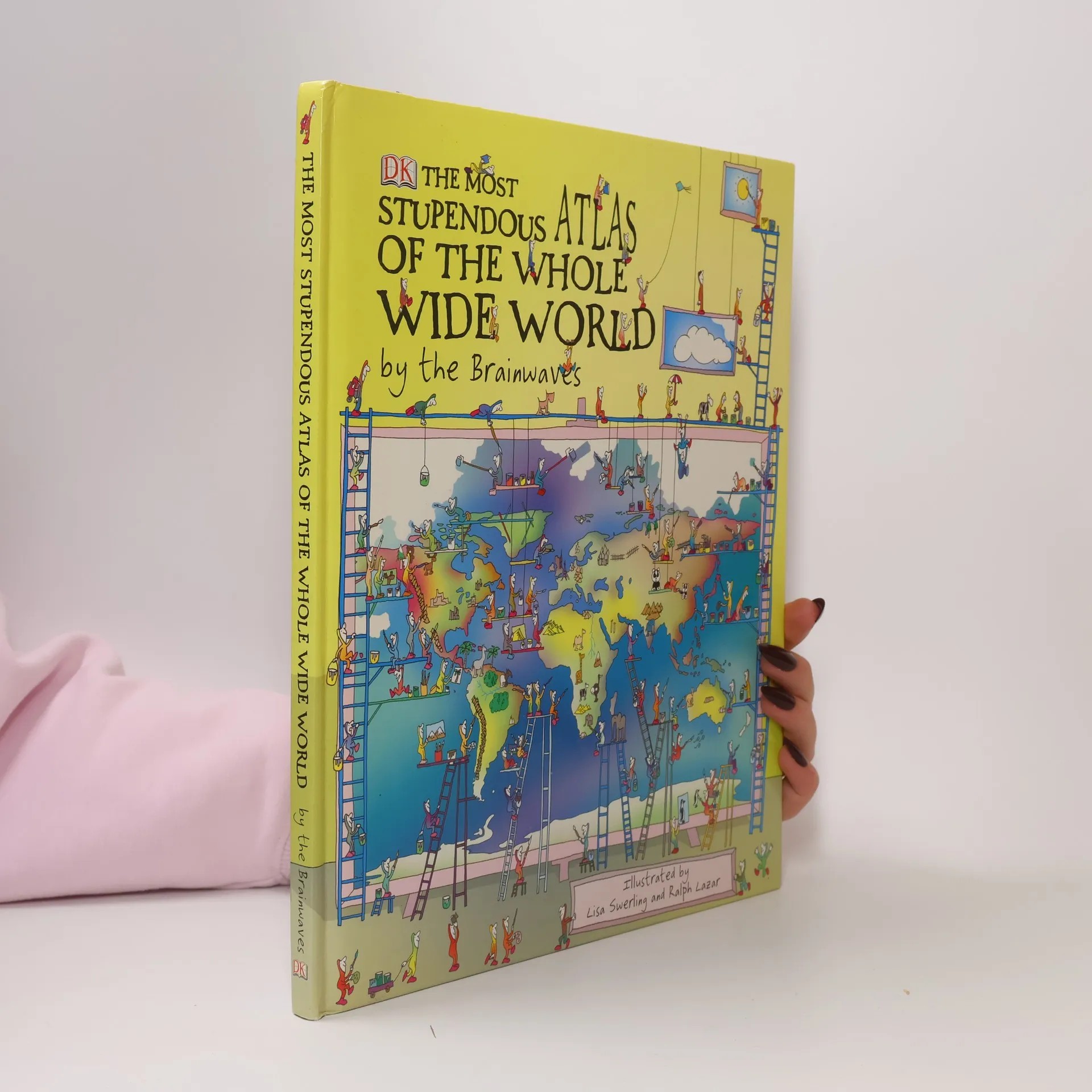
The Most Stupendous Atlas of the Whole Wide World by the Brainwaves
- 64 stránek
- 3 hodiny čtení
A funny and fascinating look at the countries of the world Meet the Brainwaves, hilarious little mischief-makers who are about to take your child on an amazing journey around the world to discover everything about our planet. These pint-sized pals will show children all about what the planet is made of, where the highest football stadium is and why Brazil is called Brazil. They’ll join the teeny travellers as they take a camel trek to the pyramids, have a ball at a bonzer Australian beach party, and play the maddest game of crazy golf across North America. Packed with fantastic fold-out pages with mad maps, perfect pull-outs and fabulous facts on places and people, your child will learn loads of stuff about climate, oceans and Earth in space. It’s a terrific tour of our world!
Archaeology Detectives
- 128 stránek
- 5 hodin čtení
How do we know what ancient Athens was like or how the Aztecs lived? This question is fully answered, which tells the story of how archaeologists in the past two hundred years have gradually deciphered some of the world's most fascinating ancient sites. Ages 8+ years.
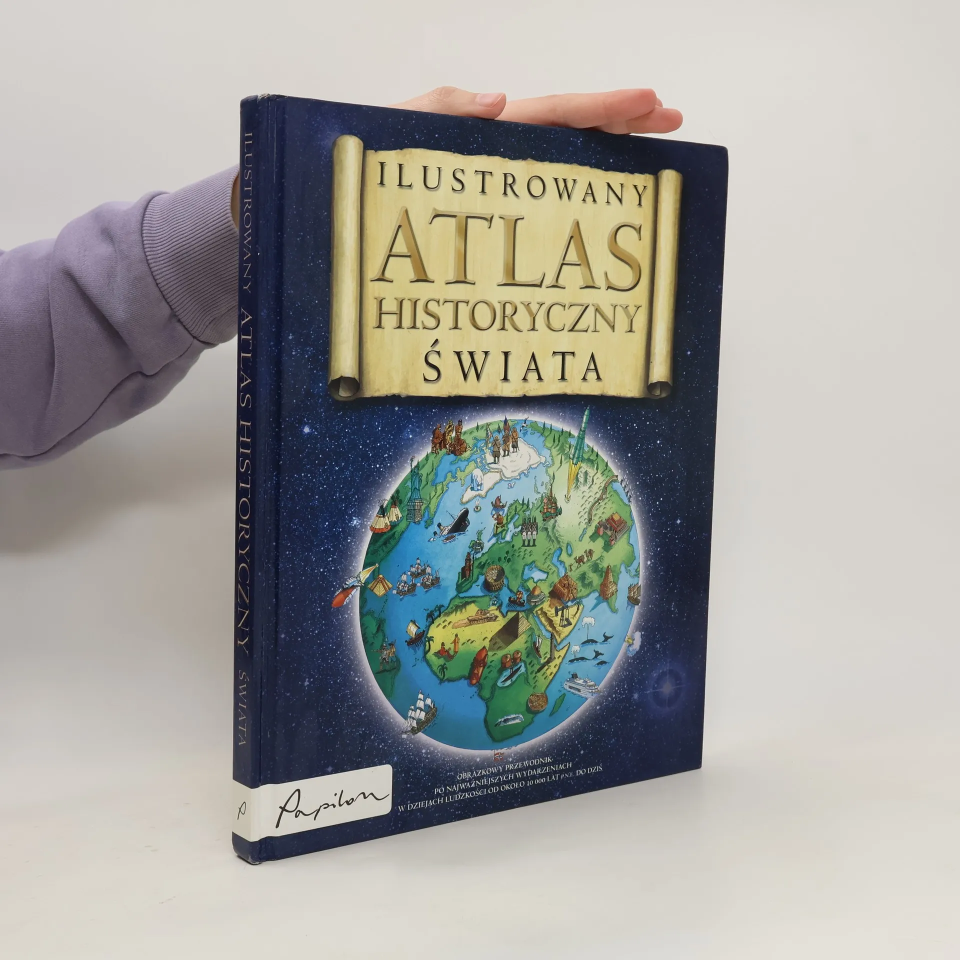
Ilustrowany atlas historyczny świata
- 181 stránek
- 7 hodin čtení
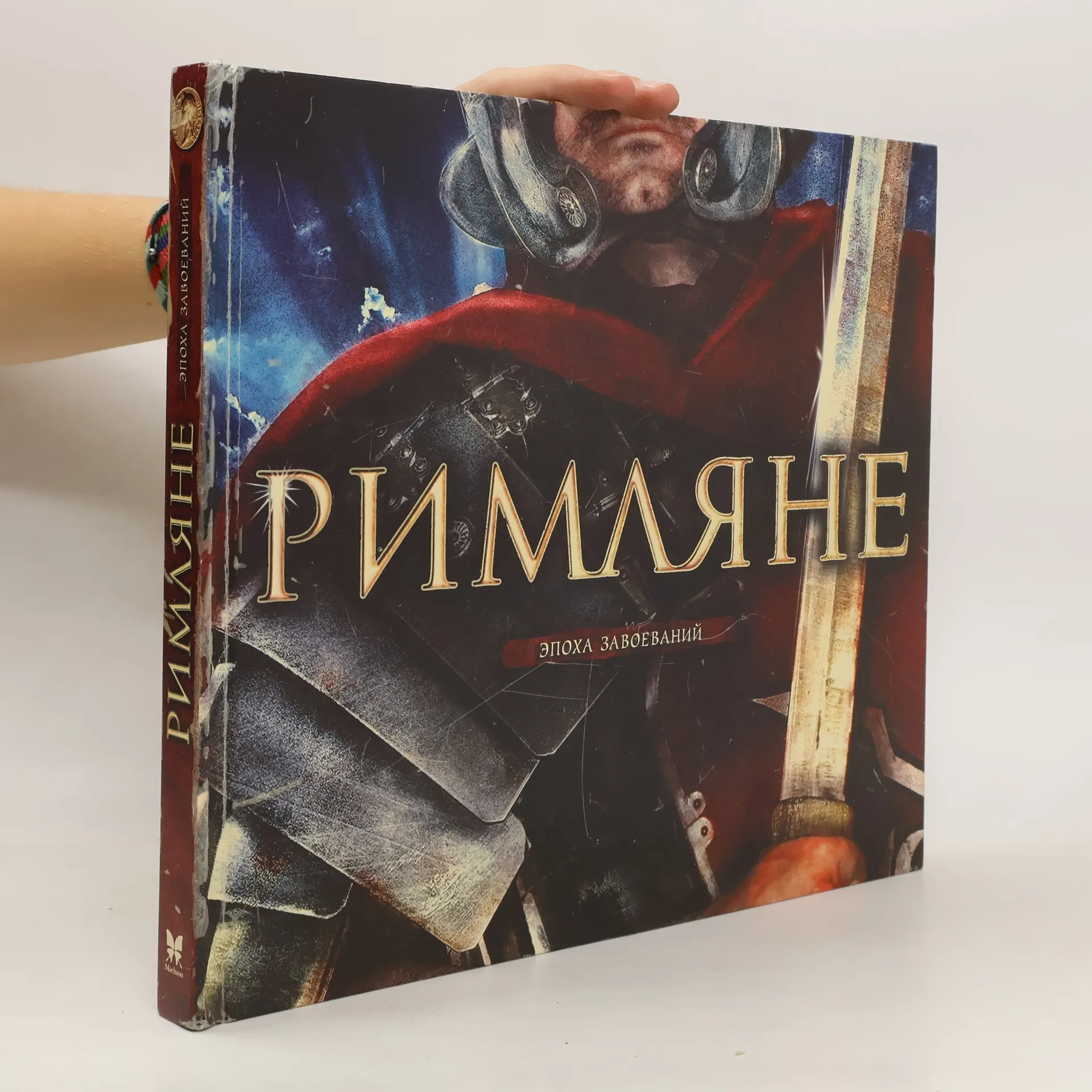
Древние римляне век за веком расширяли границы своего государства, покоряя все новые и новые земли. Хорошо организованная армия была надежной опорой огромной империи. Какими средствами полководцы поддерживали строгую дисциплину в войсках? Как строились знаменитые римские акведуки и дороги? В каких домах жили римляне, что они ели на обед и как развлекались? Загляни в прошлое и узнай, как маленький итальянский городок Рим превратился в столицу одной из величайших империй в истории человечества!
Tudor
- 48 stránek
- 2 hodiny čtení
Then use the giant pull-out wallchart to decorate their room. Great for projects or just for fun, make sure your child learns everything they need to know about Tudors.
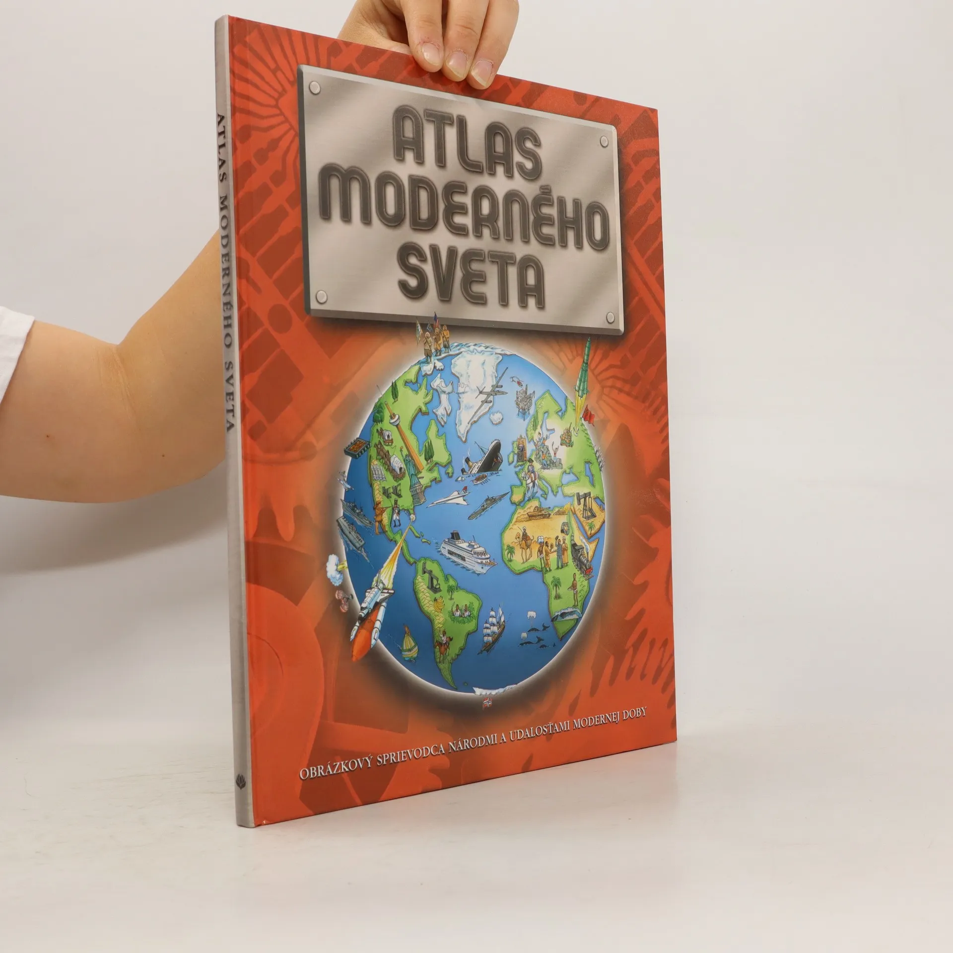
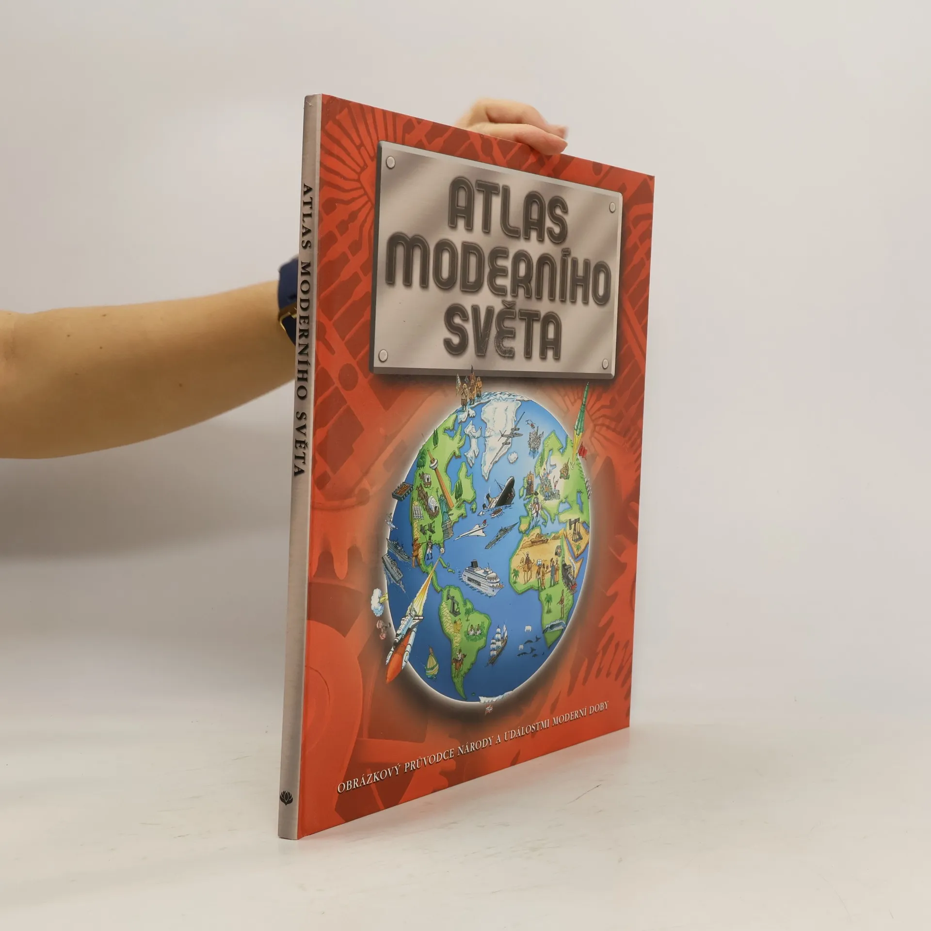
Tento pozoruhodný atlas poskytuje vzrušujúci pohľad na súčasný svet. Prináša ručne ilustrované mapy, informácie o národoch, medzinárodných konflikoch i konkrétnych ľuďoch.
Tento pozoruhodný atlas přináší napínavý pohled na současný svět. Přináší překrásné, ručně ilustrované mapy a je přeplněn informacemi o různých národech, mezinárodních konfliktech i konkrétních lidech.
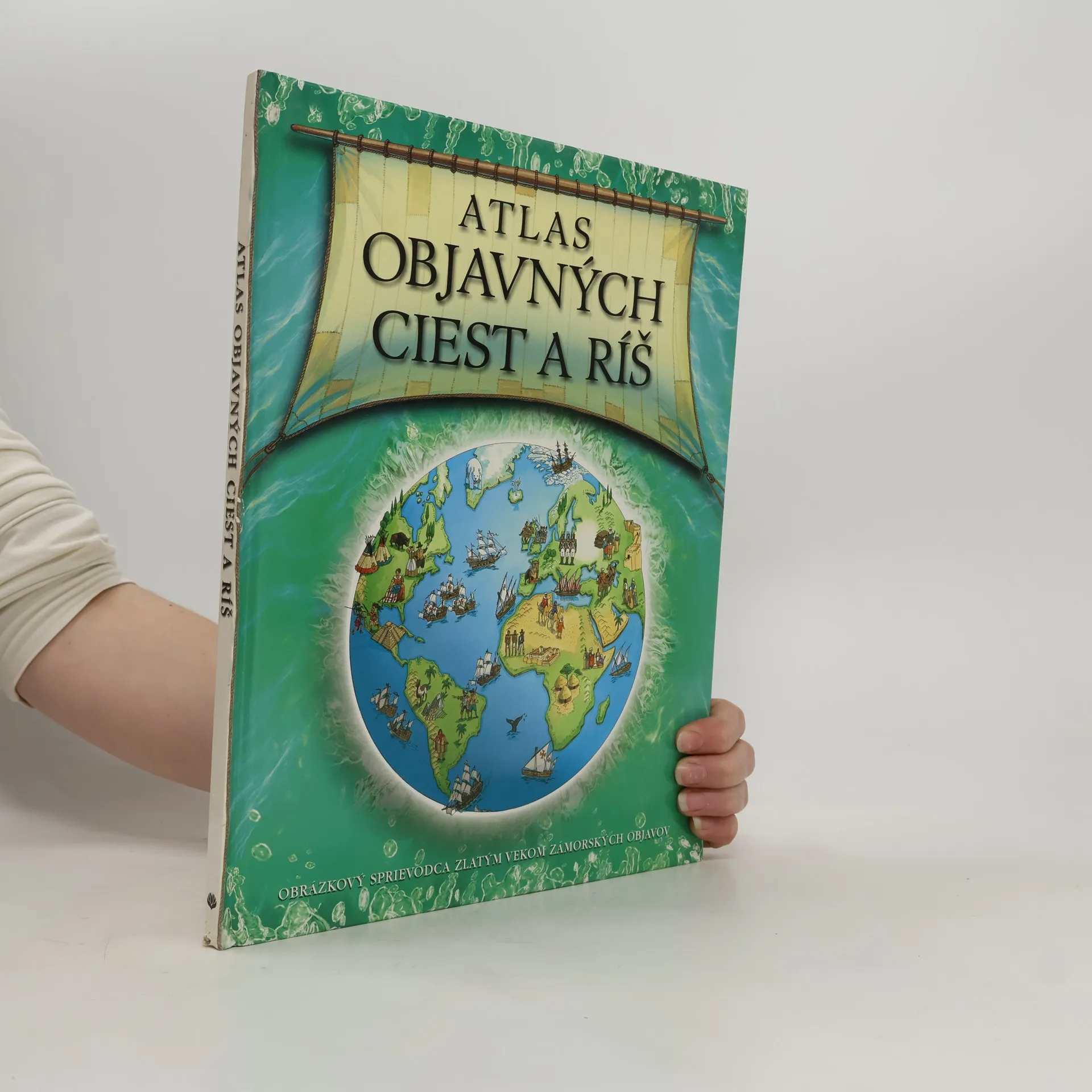
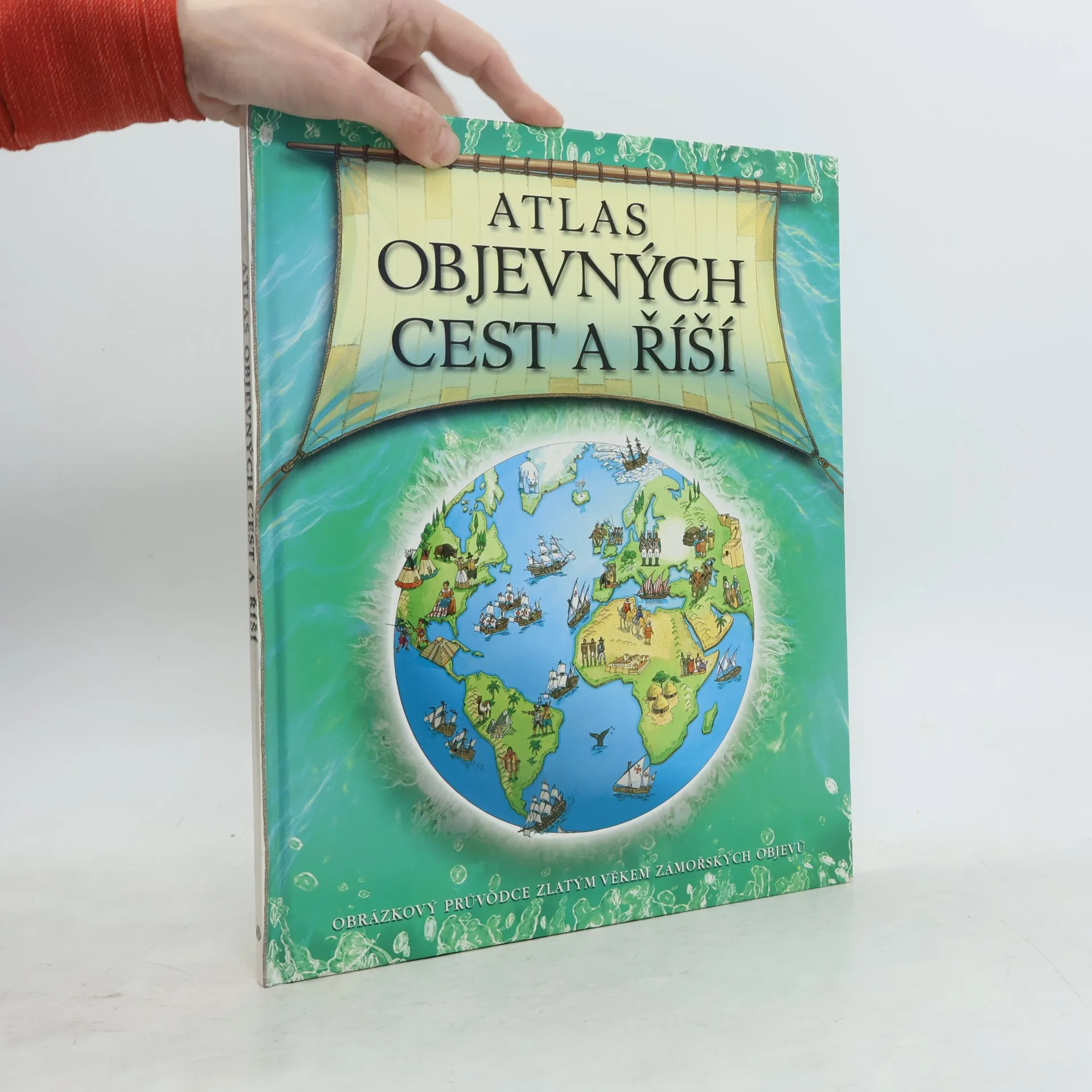
Atlas objevných cest a říší
- 44 stránek
- 2 hodiny čtení
Tento pozoruhodný atlas přináší napínavý pohled na svět v době velkých zámořských objevů. Přináší překrásné, ručně ilustrované mapy a je pln informací o rozličných národech a říších. Atlas je dokonalým obrázkovým průvodcem po světě mezi roky 1450 a 1800.
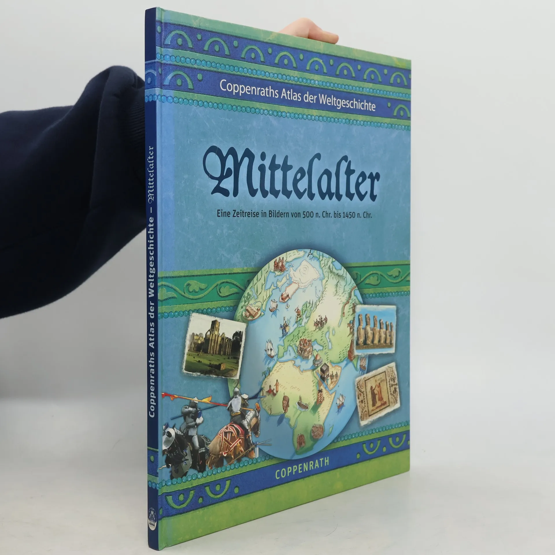
Coppenraths Atlas der Weltgeschichte
Mittelalter: Eine Zeitreise in Bildern von 500 n. Chr. bis 1450 n. Chr.
Anhand zahlreicher Karten wird die Welt des Mittelalters in Europa, Afrika, Indien, Asien und Amerika dargestellt. Ab 10.
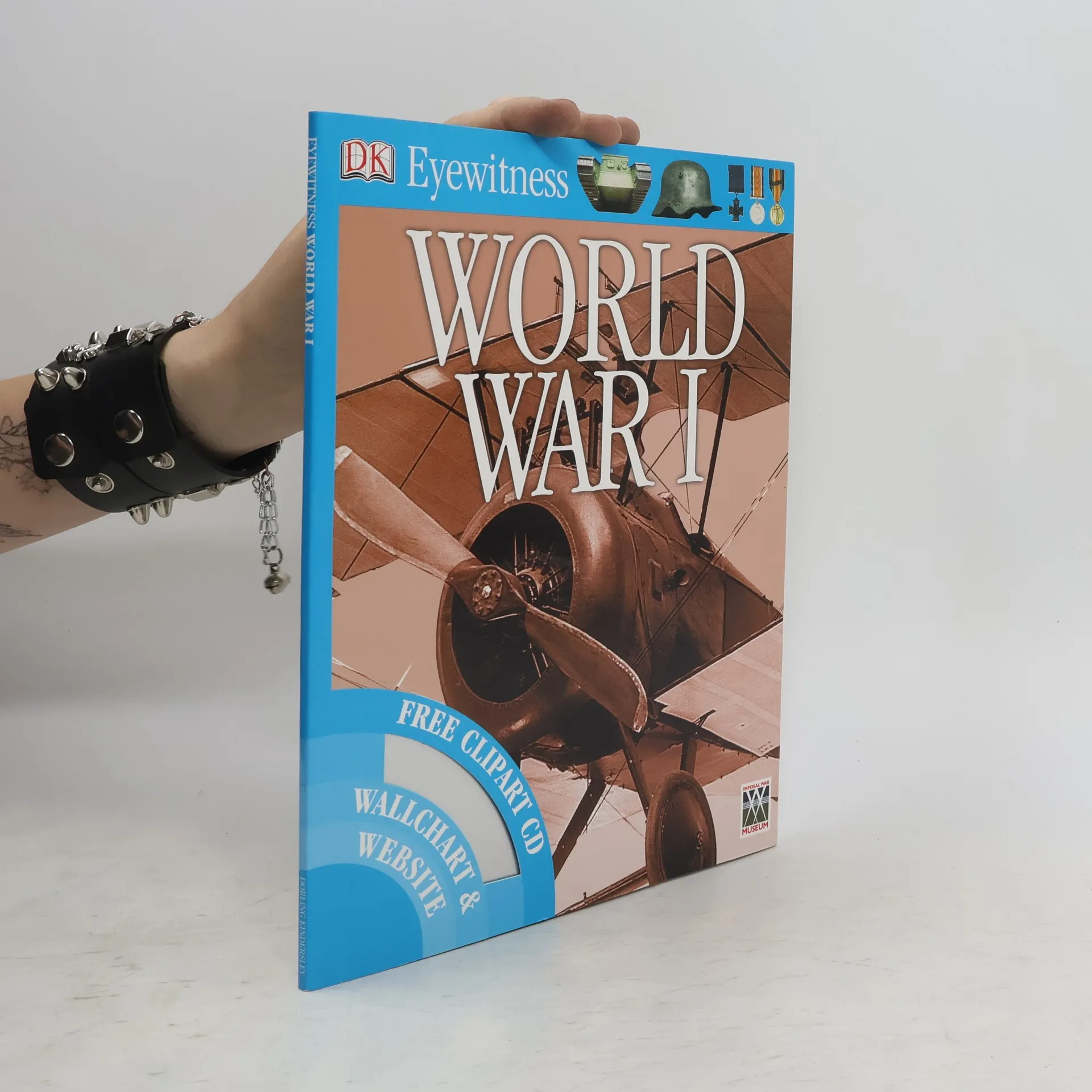
World War I
- 72 stránek
- 3 hodiny čtení
Be an eyewitness to the 'war to end all wars'From the muddy trenches to the triumph of democracy, discover all about the historic and world-changing events of the First World War. Get the picture using the clip-art CD with over 100 amazing images to download. Then use the giant pull-out wallchart to decorate your room. Great for projects or just for fun, this fact-packed guide and CD shows and tells you everything you need to know about World War I. “I am a big fan of these… They are brilliantly visual” “There isn’t a child that would be able to resist picking that up” Reader Reviews
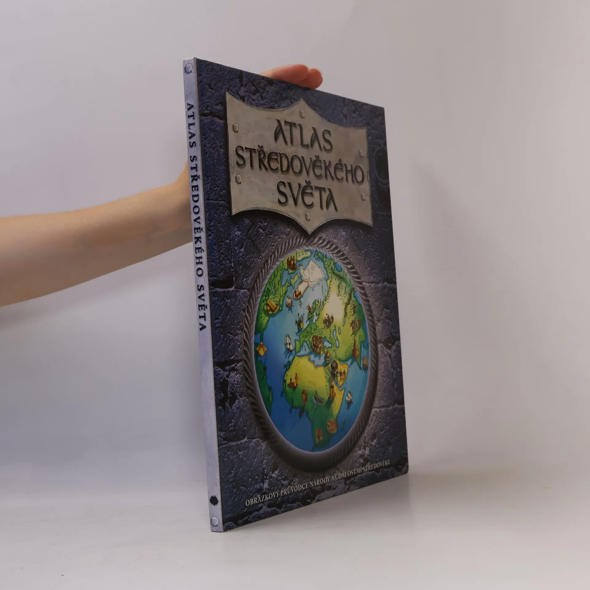
Atlas středověkého světa
- 44 stránek
- 2 hodiny čtení
Druhý ze série atlasů lidské historie. Přináší ručně ilustrované mapy, plno informací o civilizacích a národech a je dokonalým obrázkovým průvodcem na cestě středověkým světem.
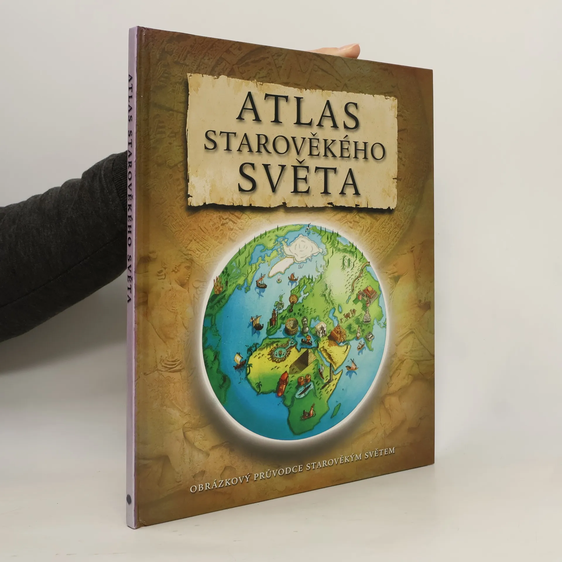
Atlas starověkého světa
- 44 stránek
- 2 hodiny čtení
První ze série atlasů lidské historie. Přináší ručně ilustrované mapy, plno informací o civilizacích a národech a je dokonalým obrázkovým průvodcem na cestě starověkým světem.
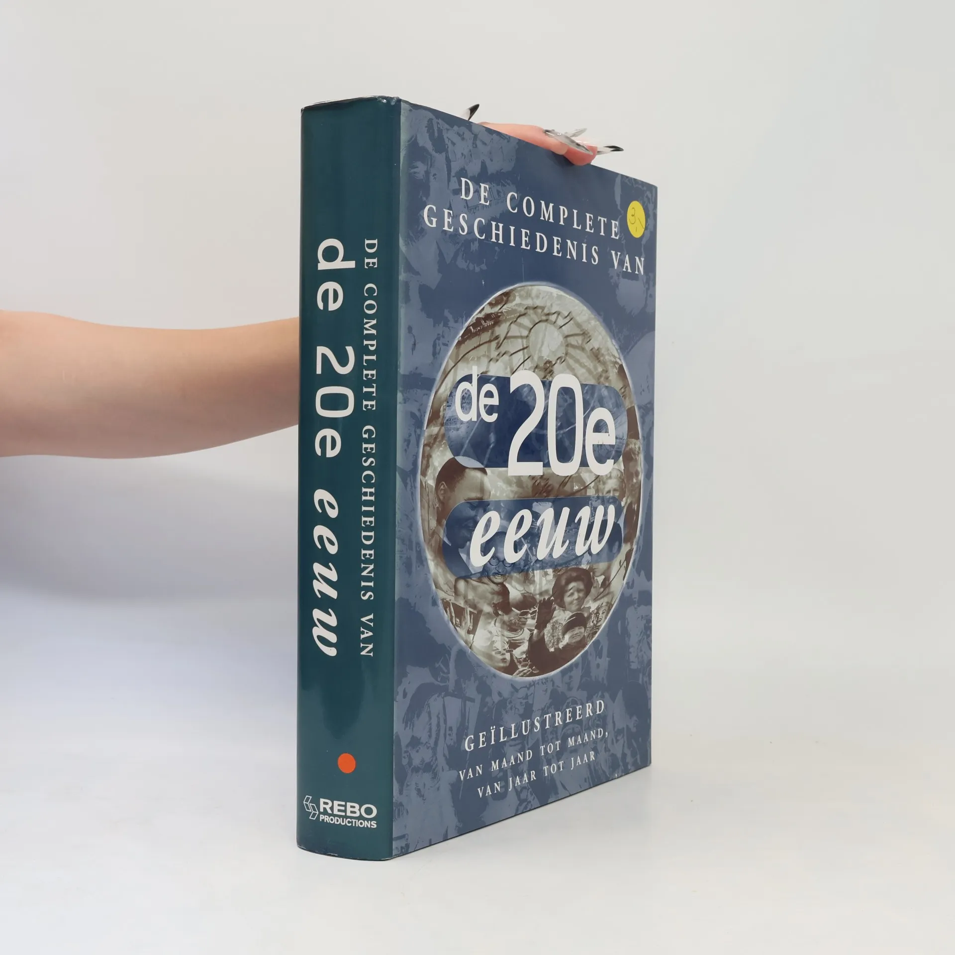
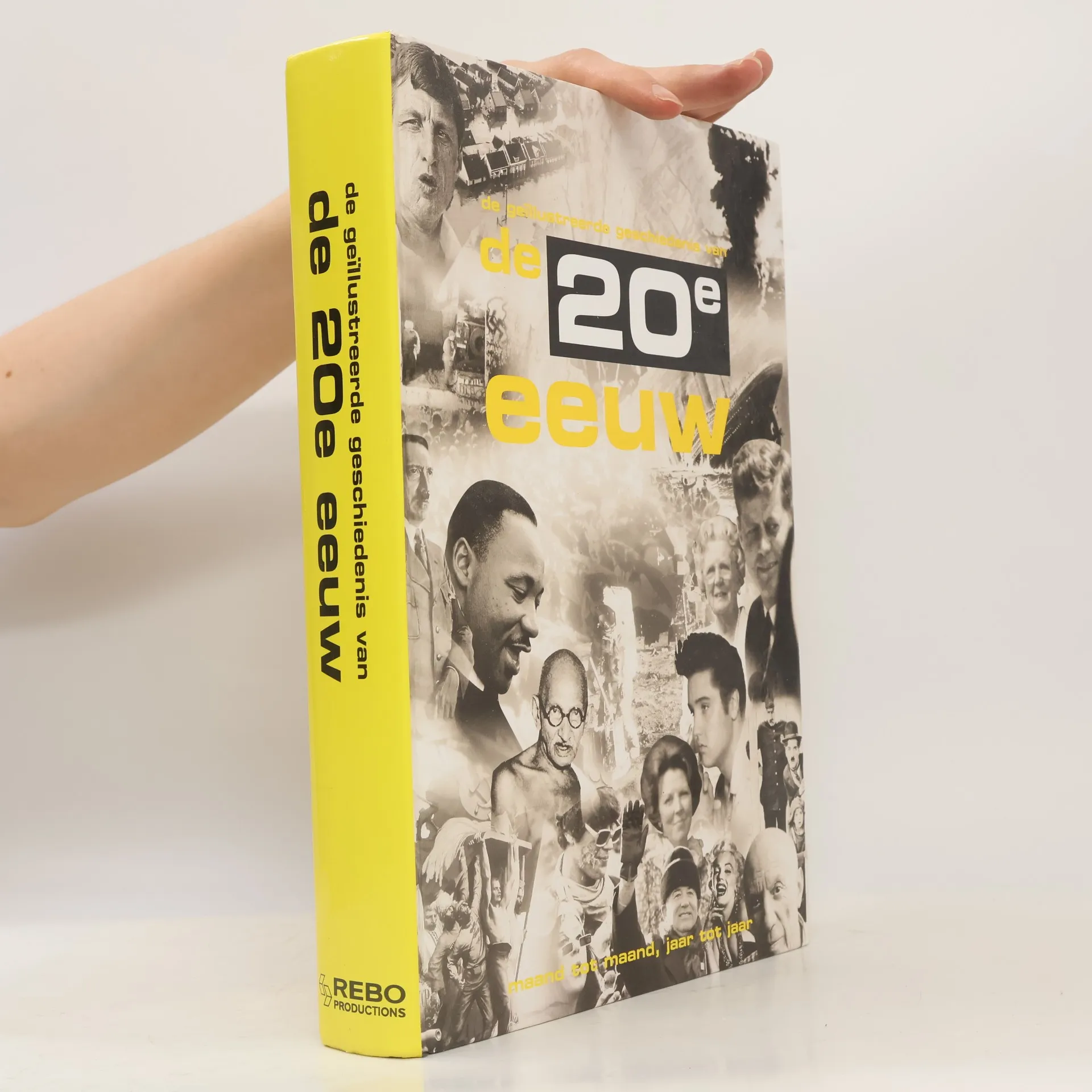
De complete geschiedenis van de 20e eeuw
Geïllustreerd van maand tot maand, van jaar tot jaar
De complete geschiedenis van de 20e eeuw is een informatief en rijk geïllustreerd portret van de 20e eeuw. Alle belangrijke gebeurtenissen van 1900 tot 2000 passeren de revue in tekst en foto's: politieke incidenten, ontwikkelingen in wetenschap en technologie, kunst, literatuur en muziek, godsdienst en filosofie, verkenningstochten en ontdekkingsreizen, sport en veranderingen in de samenleving en het leven van alledag. Verder bevat het meer dan honderd beknopte biografieën van mannen en vrouwen wier leven en activiteiten de 20e eeuw mede hebben bepaald. De tekst is geïllustreerd met meer dan zevenhonderd schitterende en sprekende foto's.
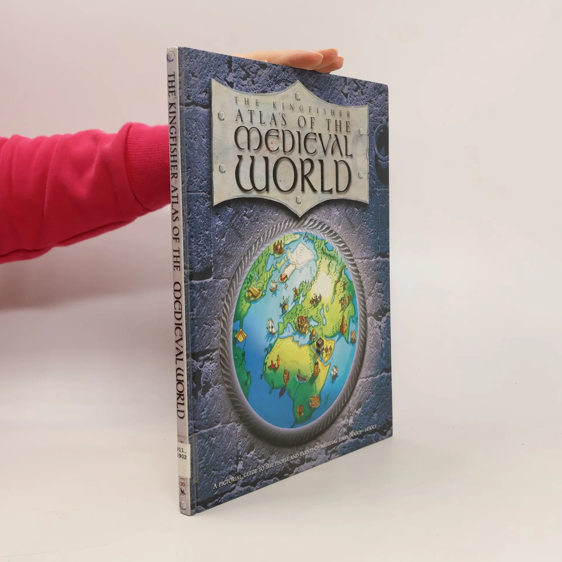
The Kingfisher Atlas of the Medieval World
- 48 stránek
- 2 hodiny čtení
With 16 exquisite maps showing what the world was like from A.D. 500 to 1450, this book is sure to feed children's fascination with knights, castles, Vikings, Crusades, the Aztecs, and the Incas. Full color.
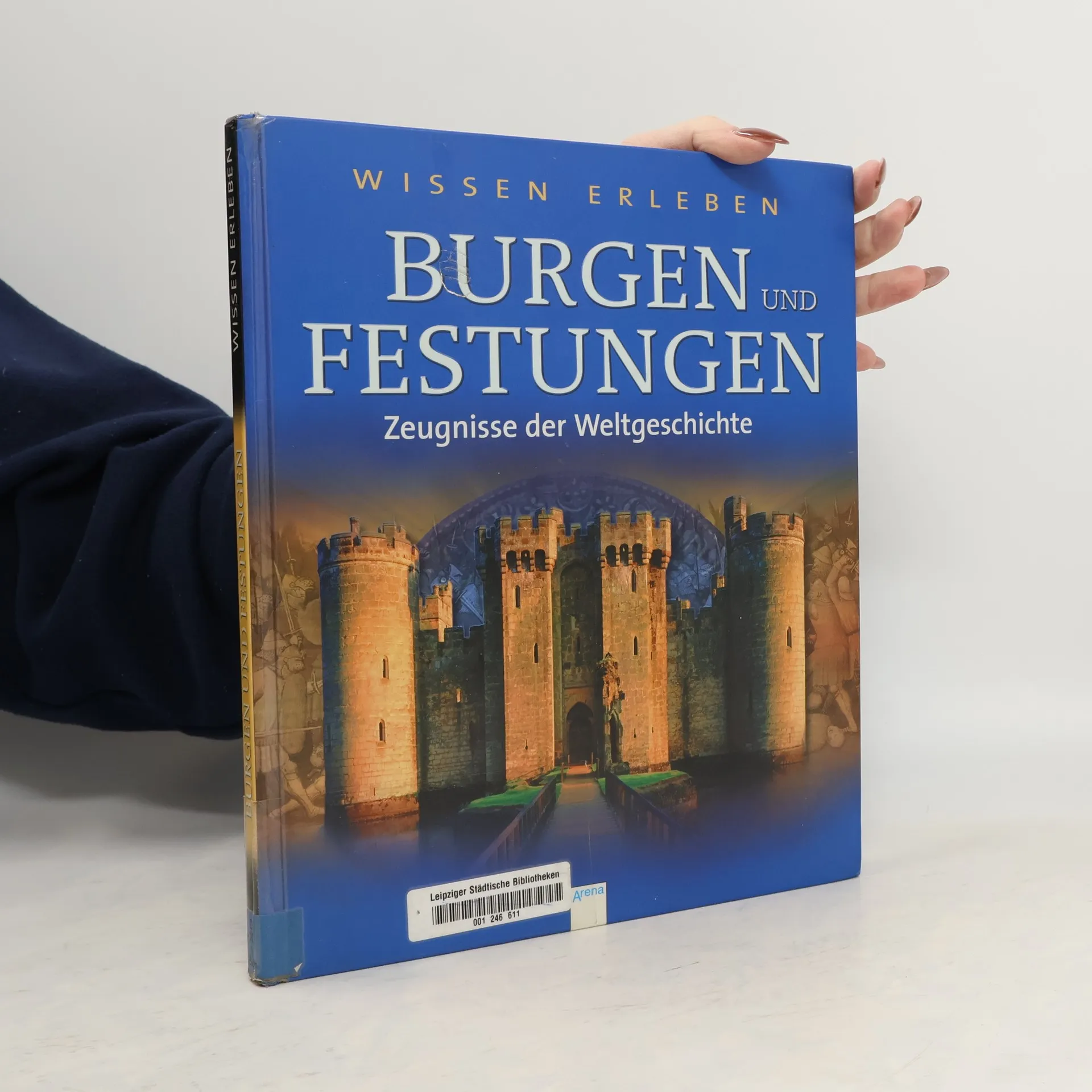
Burgen und Festungen
- 63 stránek
- 3 hodiny čtení
WISSEN ERLEBEN: Information, Innovation, Inspiration WISSEN ERLEBEN ist die neue Sachbuchreihe, die hochaktuelles Wissen zu populären Top-Themen zeitgemäß und attraktiv inszeniert auf dem neuesten Stand der Wissenschaft, mit vielen großartigen Fotografien und fantastischen digitalen Darstellungen. Kompetente Autoren erklären auch komplexe Zusammenhänge anschaulich und verständlich, die wichtigsten Fakten werden am Ende jedes Kapitels noch einmal in kompakter Form zusammengefasst. Buchempfehlungen zum Weiterlesen, relevante Internetadressen und Tipps für interessante Besichtigungen und Ausflüge laden dazu ein, das Thema selbstständig zu vertiefen.
Lexikon der Erde
- 304 stránek
- 11 hodin čtení
Eindrucksvoll, weltumspannend und auf dem allerneuesten Stand - dieses Lexikon darf in keinem Kinderzimmer fehlen. Weltentdecker finden hier alles, was ein Land ausmacht - von seiner geografischen Lage bis zum Leben der Bevölkerung. Außerdem erfährt man alles über Geografie wie Kontinentalverschiebung oder Klimazonen. Durch die aufwändige Gestaltung mit über 60 Karten, 900 Farbfotografien und 500 Zeichnungen und Diagrammen wird alles ganz anschaulich vermittelt. Als Atlas und Länderlexikon ist dieses tolle Buch eine zuverlässige Quelle für Referate und Hausarbeiten! Ab 8 Jahren.
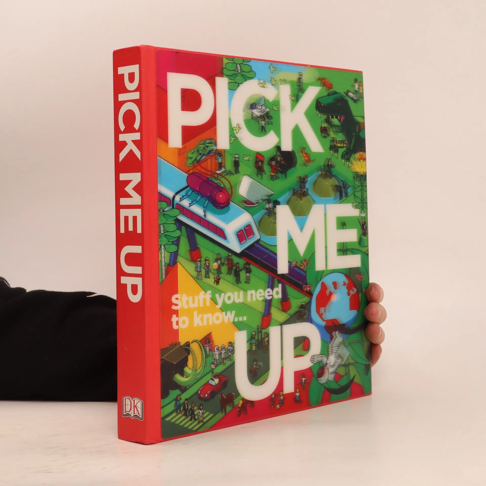
Pick Me Up
- 352 stránek
- 13 hodin čtení
Once you pick me up, you won't want to put me down . . . I'm an encyclopedia, but not as you know it. Big books with facts are boring - I'm not. I'm more like a computer game than a book, crammed with funky pages and cartoons. Forget A-Z, just follow my lead and you'll be amazed where you end up! Was Beethoven a punk? Why is 10 to the power of 100 called a googol? How are smelly feet connected to nuclear weapons?I've got it all covered. Read me in bed, read me on the bus, or even in the loo! Just pick me up - go on. I'm exciting, I'm addictive - I'm unputdownable! Curious? Try me!
Das alte Rom! Seine Feldzüge und Eroberungen, Politik, Philosophie und Lebensart, die Tempel, das Forum, Wagenrennen und Gladiatorenkämpfe, Reichtum und Sklaverei hautnah erleben wir Aufstieg und Untergang dieser mächtigen Kultur in prachtvollen Bildern und spannenden Texten.
Kingfisher Knowledge: Life in Ancient Rome
- 64 stránek
- 3 hodiny čtení
Kingfisher Knowledge is a groundbreaking series for readers hungry for information on today's hot topics. Lively, engaging text, packed with information, accompanies stunning photographs that enhance each chapter. Amazing, state-of-the-art digital artwork guides readers into the fascinating heart of the subject. This learning adventure does not stop there - information panels throughout lead the reader to further discovery. Each chapter offers website links, book lists, places to visit and career information. Life in Ancient Rome transports the reader on an amazing journey through the world built and run by the Romans, from its legendary origins and the growth of the republic to the height of empire, and from the human details of everyday life in Rome to the violent spectacles of battles and gladiatorial combat. Organized historically, it gives a clear sense of the major developments in this long and changing period, and is full of dynamic stories of interesting characters, important battles and great events. It also sheds new and intriguing light on familiar themes of life in roads and baths, luxurious living and slavery, the Forum and temples, and much more. The final chapter charts the decline of the Roman empire and looks at its far-reaching legacy.
Atlas světa pro děti
- 136 stránek
- 5 hodin čtení
Ilustrovaný atlas světa přináší informace o kultuře, historii, obyvatelích, podnebí jednotlivých zemí a světadílů. Určeno dětem kolem 10 let.
Tessloffs erstes Buch der Vulkane
- 31 stránek
- 2 hodiny čtení
The History Encyclopedia
- 256 stránek
- 9 hodin čtení
Discover how humans populated the world, how food was grown, and how communites wre formed. Find out how weapons wre invented and developed and how art, theater, fashion, goverment and architecture evolved.
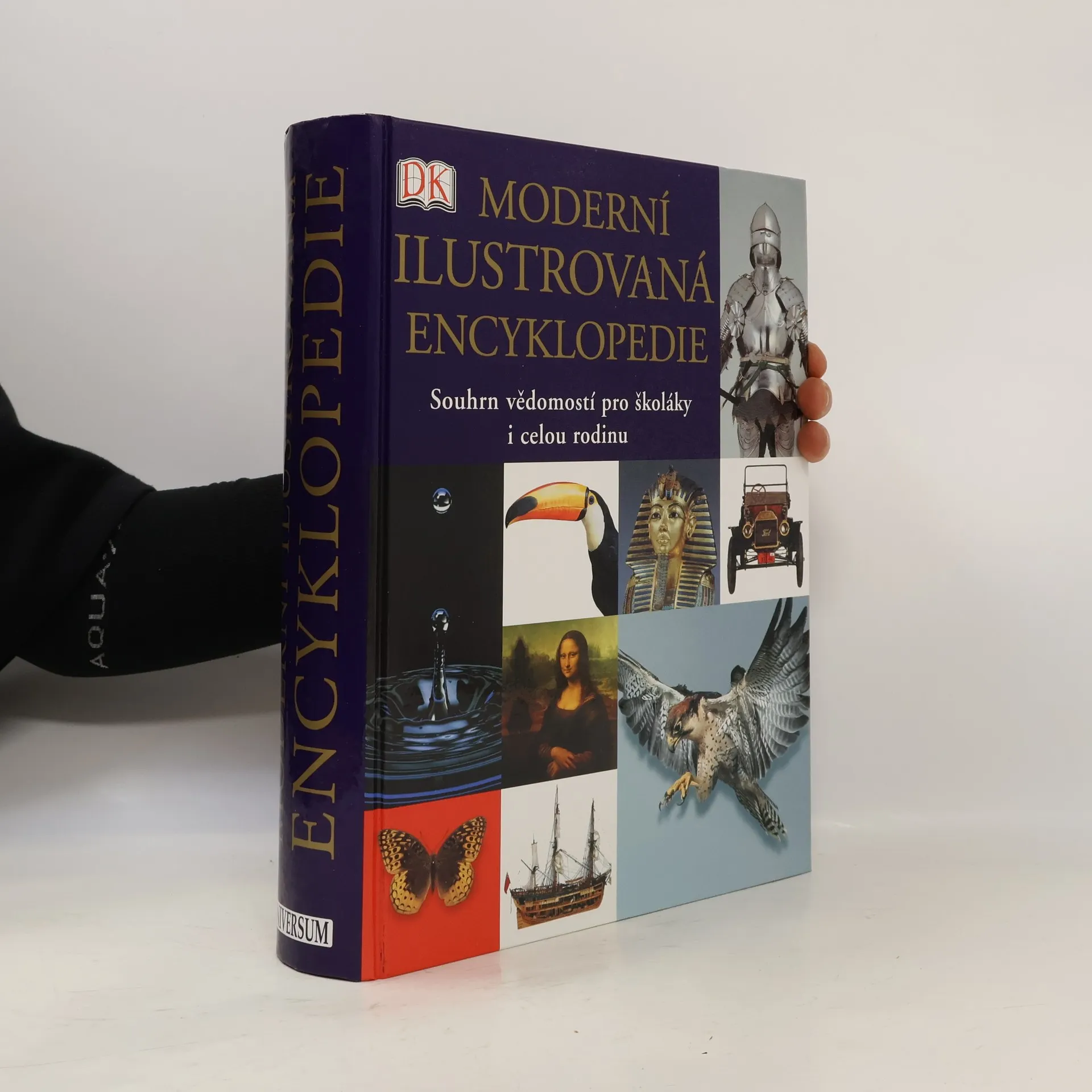
Moderní ilustrovaná encyklopedie
- 1008 stránek
- 36 hodin čtení
Moderní ilustrovaná encyklopedie shrnuje v šesti stech abecedně řazených kapitolách všeobecné informace z oblastí zeměpisu, historie, zoologie, botaniky, vědy a techniky. Kapitoly jsou přehledně rozděleny do dílčích článků a doplněny odkazovým aparátem, jenž uživatele navede na související témata. Množství fotografií, obrázků i podrobně popsaných schémat usnadňuje pochopení i těch nejsložitějších jevů. Kniha je výborným pomocníkem pro školáky, kteří se chtějí dozvědět něco víc, než znají ze školy, i jejich rodiče, když chtějí svým dětem cokoli vysvětlit.
DK Reference: Geography of the World
The Essential Family Guide to Geography and Culture
- 304 stránek
- 11 hodin čtení
A guide to countries and continents in today's rapidly changing world bull; bull;Clear, country-by-country layout makes this an ideal reference book for use both at home and at school bull;At-a-glance key facts on each country's population, language, religion, government, currency, and more bull;More than 60 large-scale, three-dimensional maps, 900 superb photographs, and 500 detailed artworks, charts, and diagrams bring the countries of the world to life bull;Researched, authenticated, and updated by a team of specialists in human and physical geography and international affairs
Send your child on a voyage of discovery with the new edition of this unbeatable world atlas - in eBook format. Each stunning map is surrounded by human stories and views that give your child an immediate sense of place not accessible in other atlases. From Bolivia�s bustling markets to carnival time in Venice, they�ll explore the societies, cultures, histories, climates and landscapes of every corner of the globe. Vivid photographs and state-of-the-art maps capture the unique personality of each region and will give your child a flavour of what it�s really like to live in each country.
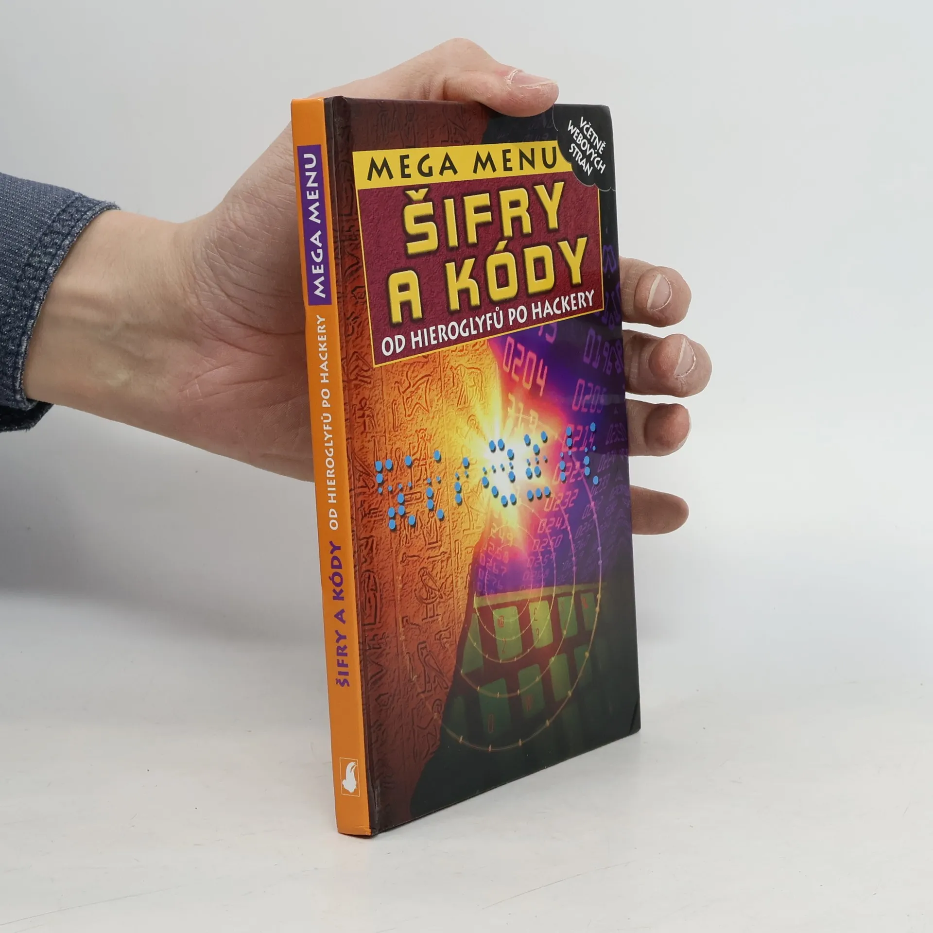
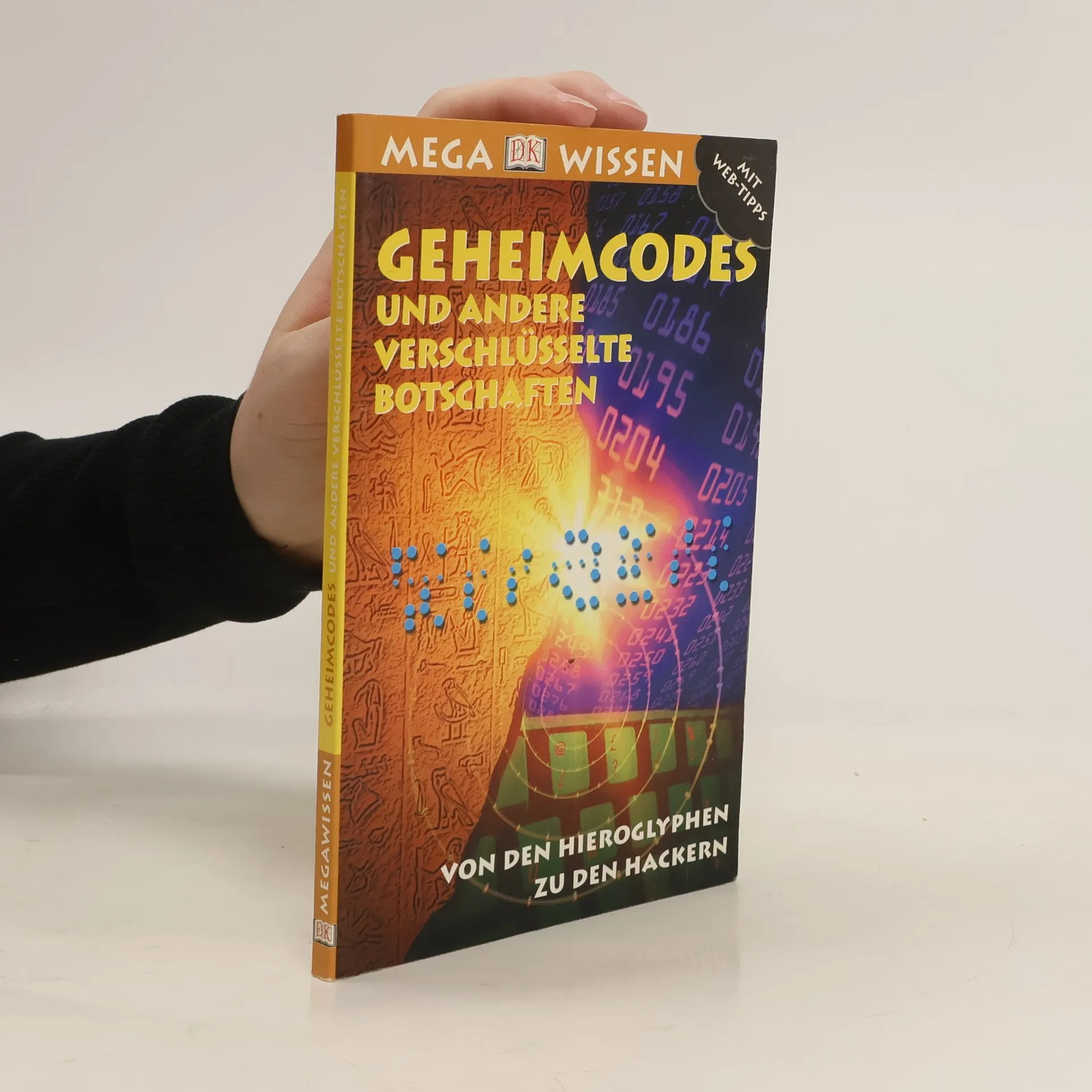
Šifry a kódy. Od hieroglyfů po hackery
- 96 stránek
- 4 hodiny čtení
Záhadám dokáže odolat jen málokdo z nás. Jakmile se necháme strhnout, snažíme se hledat záchytné body, dokud záhadu nevyřešíme. Není divu, že tajné kódy patří k nejvíce okouzlujícím hlavolamům.
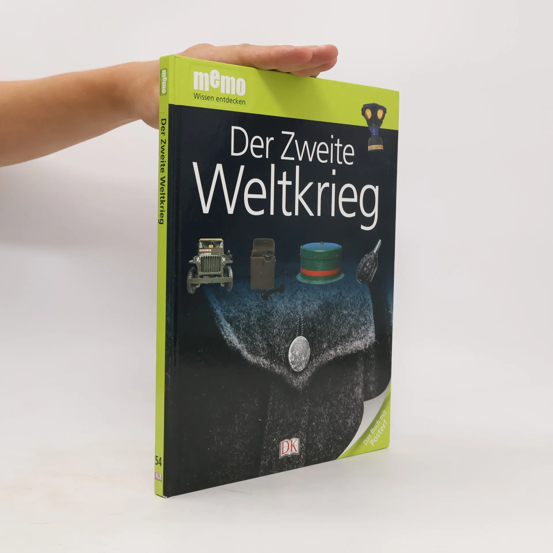
Der Zweite Weltkrieg
- 72 stránek
- 3 hodiny čtení
Warum kam es zum Zweiten Weltkrieg? Wie kam Hitler an die Macht? Welche Länder waren am Zweiten Weltkrieg beteiligt? Memo Band 55 informiert umfassend über die Hintergründe: Vorboten des Krieges, Kriegsvorkehrungen, Besetzungen und Widerstände, Kämpfe und Schlachten, Kindheit im Krieg, Holocaust und vieles mehr! Eindrucksvolle Bilder von wichtigen Schauplätzen, Armeen, Panzern, U-Booten und dem Alltagsleben während des größten Konflikts im 20. Jahrhundert vermitteln das Thema auf anschauliche Weise. Kurze, gut gegliederte Texte erklären die Zusammenhänge und machen auch schwierigere Sachverhalte verständlich. Rubriken wie „Erstaunliche Fakten“ oder „Fragen und Antworten“ vertiefen das vermittelte Wissen, ein Glossar am Ende des Buches gibt noch einmal einen Überblick zum gesamten Thema. Ideal auch als Ergänzung zum Schulunterricht, für Projekte und für Referate.
Geheimcodes und andere verschlüsselte Botschaften
- 96 stránek
- 4 hodiny čtení
Wer diese Bücher gelesen hat, der weiß Bescheid! Klein und handlich präsentiert sich diese DK-Taschenbuch-Reihe und innen verbirgt sich viel Wissenswertes! Fakten, Fakten, Fakten zu Themen, die Kinder begeistern, aufbereitet mit tollen Fotos und spannenden, altersgerechten Texten. Rätsel und Geheimnisse haben die Menschen schon immer fasziniert. Welche ausgeklügelten Möglichkeiten es gibt, geheime Informationen zu verschlüsseln, und wie es Forschern mit viel Geduld und Glück gelungen ist, unbekannte Codes zu knacken, verrät dieses Buch. Ab 10 Jahren
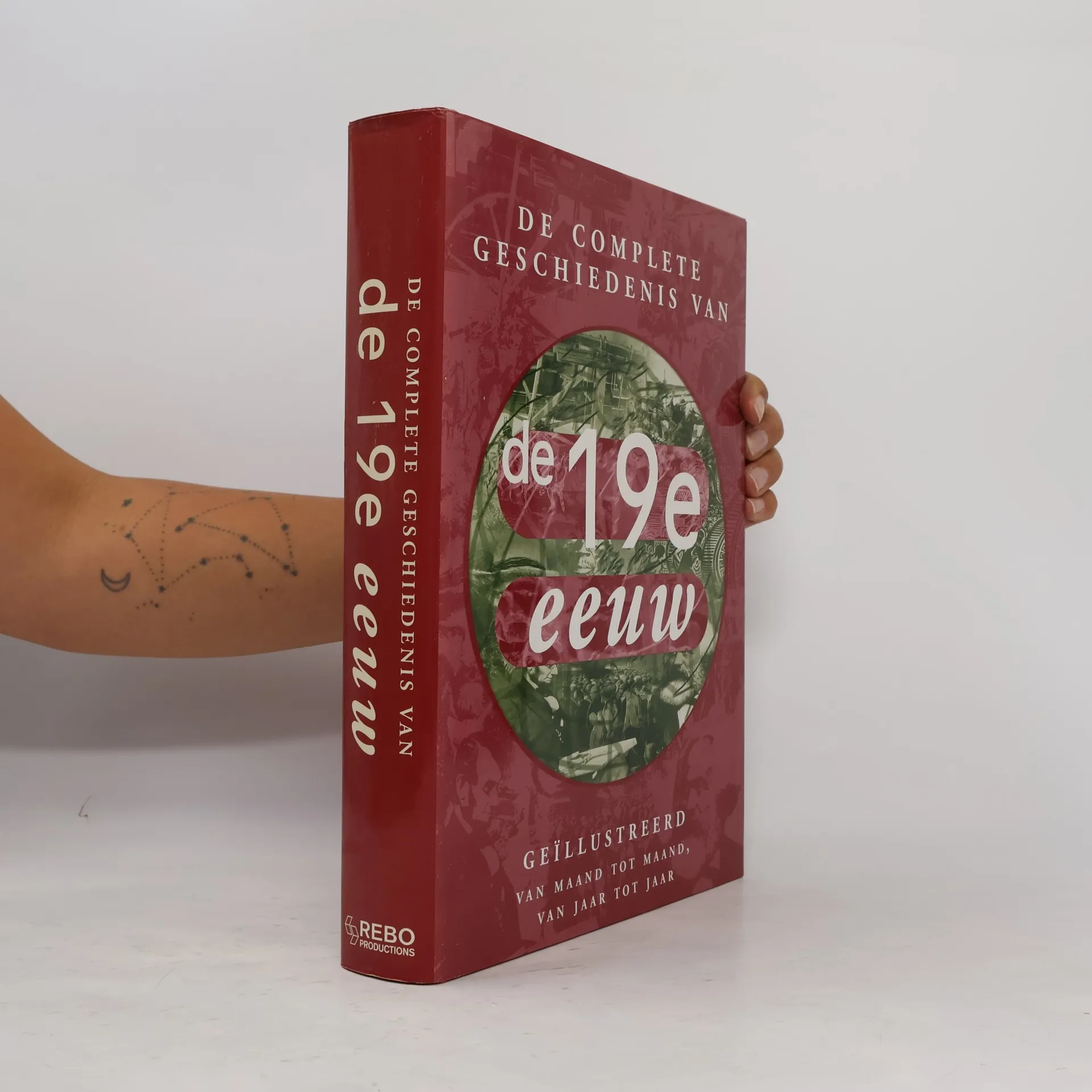
De complete geschiedenis van de negentiende eeuw
- 599 stránek
- 21 hodin čtení
De geïllustreerde geschiedenis van de 19e eeuw' is een informatief en rijk geïllustreerd portret van, de 19e eeuw. Alle belangrijke gebeurtenissen van 1800 tot 1900 passeren de revue in tekst en foto's: politieke incidenten, ontwikkelingen in wetenschap en technologie, kunst, literatuur en muziek, godsdienst en filosofie, verkenningstochten en ontdekkingsreizen, sport en veranderingen in de samenleving en het leven van alledag. In de 19e eeuw vindt de Industriële Revolutie plaats, die het leven van de meeste mensen definitief en ingrijpend verandert. Verder bevat dit boek vele beknopte biografieën van mannen en vrouwen wier leven de 19e eeuw mede hebben bepaald.
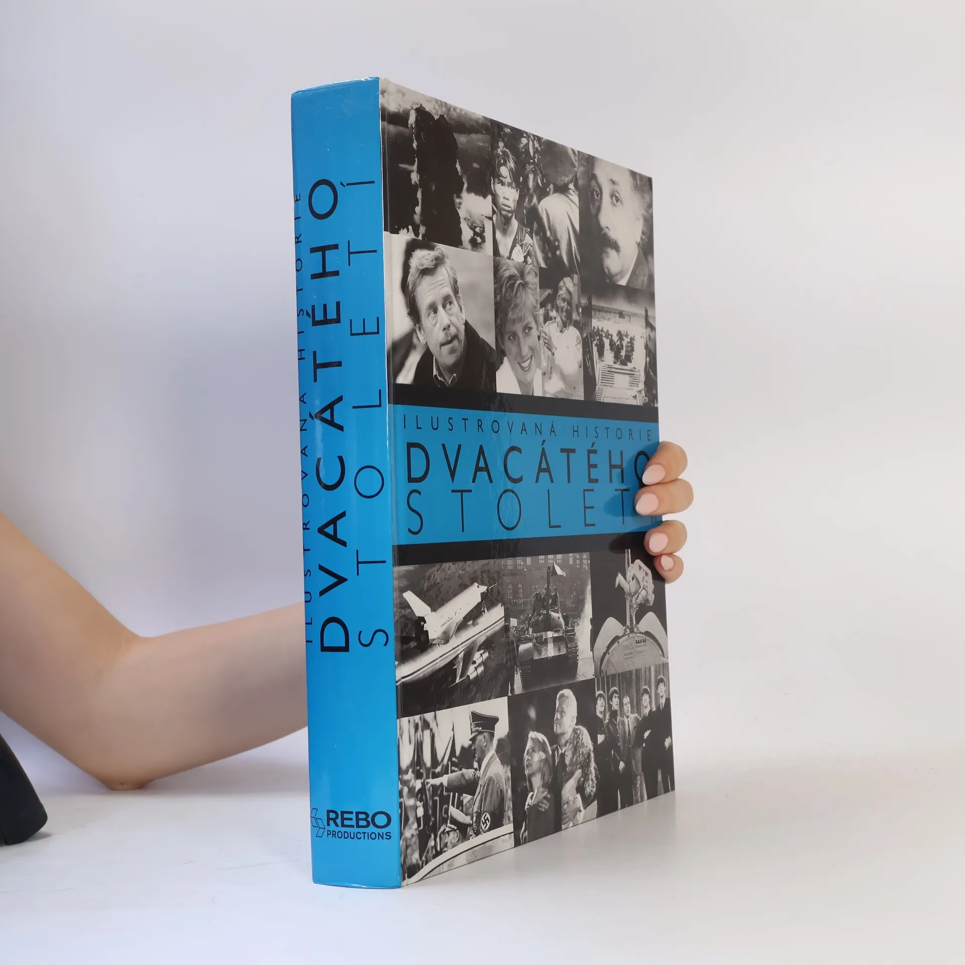
Ilustrovaná historie 19. století
- 600 stránek
- 21 hodin čtení
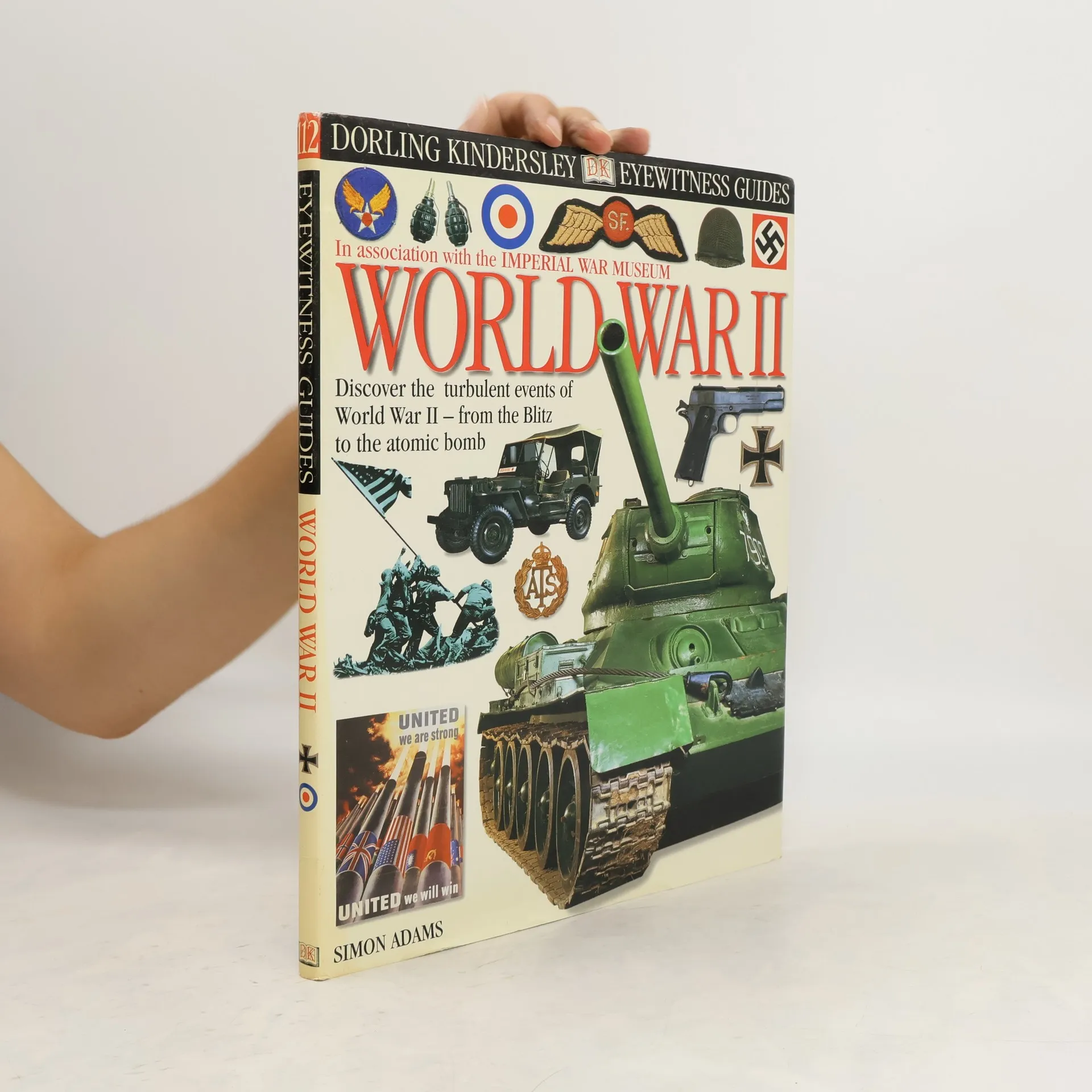
World War II
- 64 stránek
- 3 hodiny čtení
Text and photos present the key events, battles, weapons, uniforms, and cultural phenomena, such as propaganda, of the Axis and Allies during the Second World War.
De geïllustreerde geschiedenis van de twintigste eeuw
- 592 stránek
- 21 hodin čtení
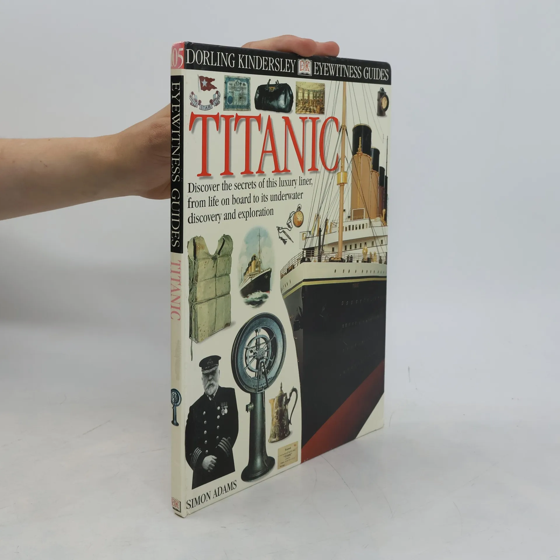
Titanic
- 59 stránek
- 3 hodiny čtení
A family reference book on the ship, the Titanic so that the individual themes of each spread make up a complete visual story and a self-contained module of information. The photographs of actual objects are viewed in real-life close detail.
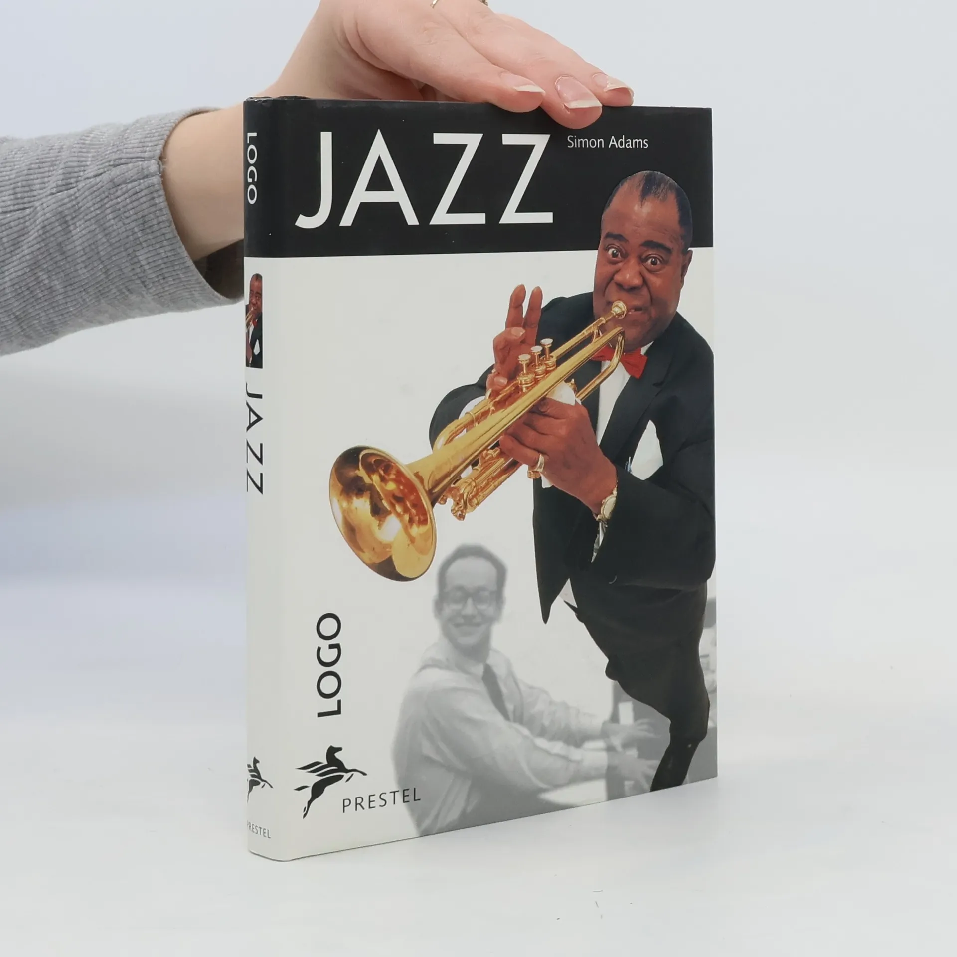
Jazz
- 143 stránek
- 6 hodin čtení
Ilustrovaná historie dvacátého století. Rok po roce, měsíc po měsíci
- 592 stránek
- 21 hodin čtení
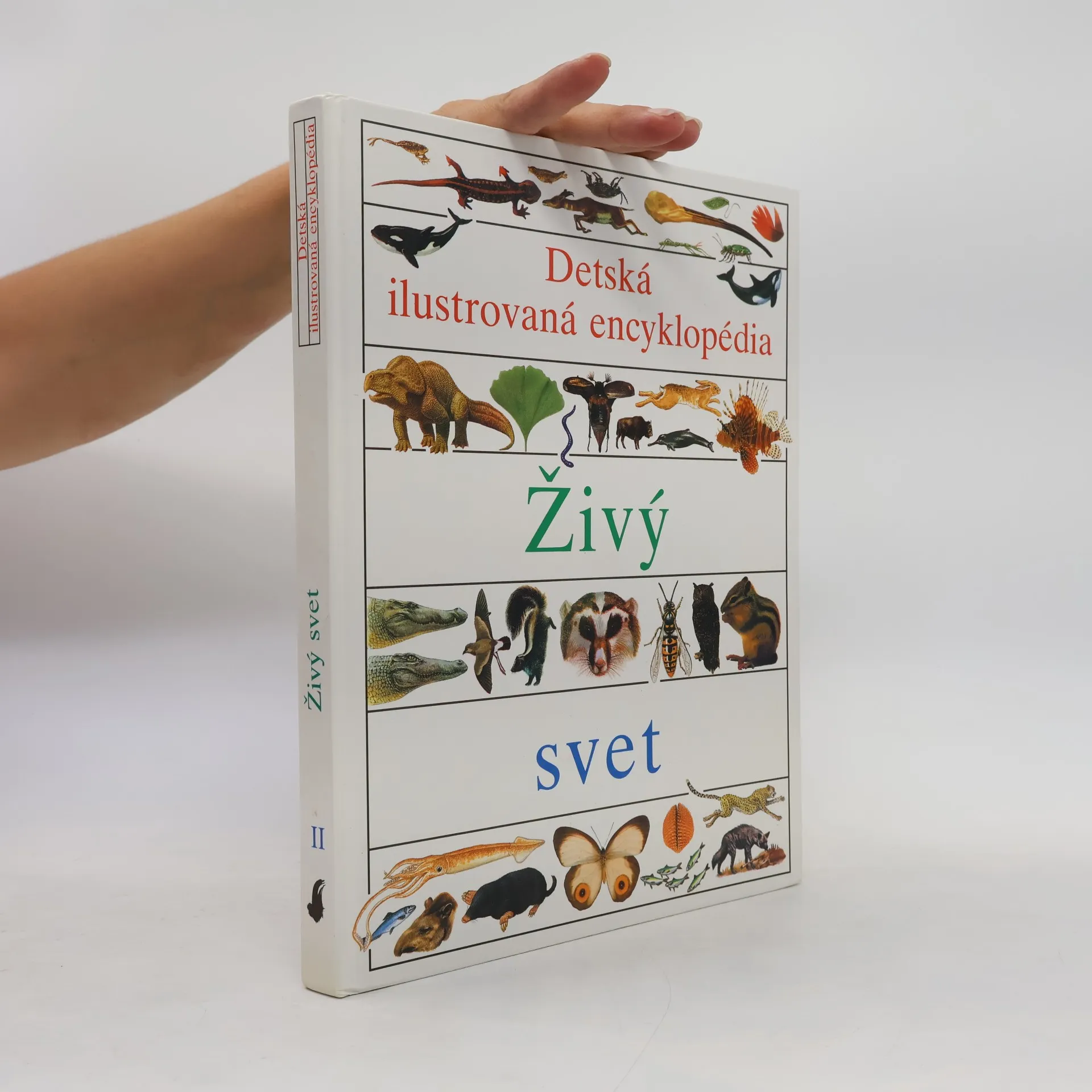
Dětská ilustrovaná encyklopedie II. Živý svět
- 168 stránek
- 6 hodin čtení
Každý díl obsahuje množství informací o vědě a technice, přírodě, dějinách i současném světě. Text je napsaný poutavě, přehledně a přístupnou formou, takže zaujme už i mladší čtenáře. Ilustrace nabízejí nejen nevšední divácký zážitek, ale jsou i dokonale propojené s textem, přináší množství informací, vábí dítě k novým a novým čtenářským objevům.uItem=2619 ISBN pro soubor: 80-7145-023-5
"Year by year, day by day-- experience history firsthand"--Cover.
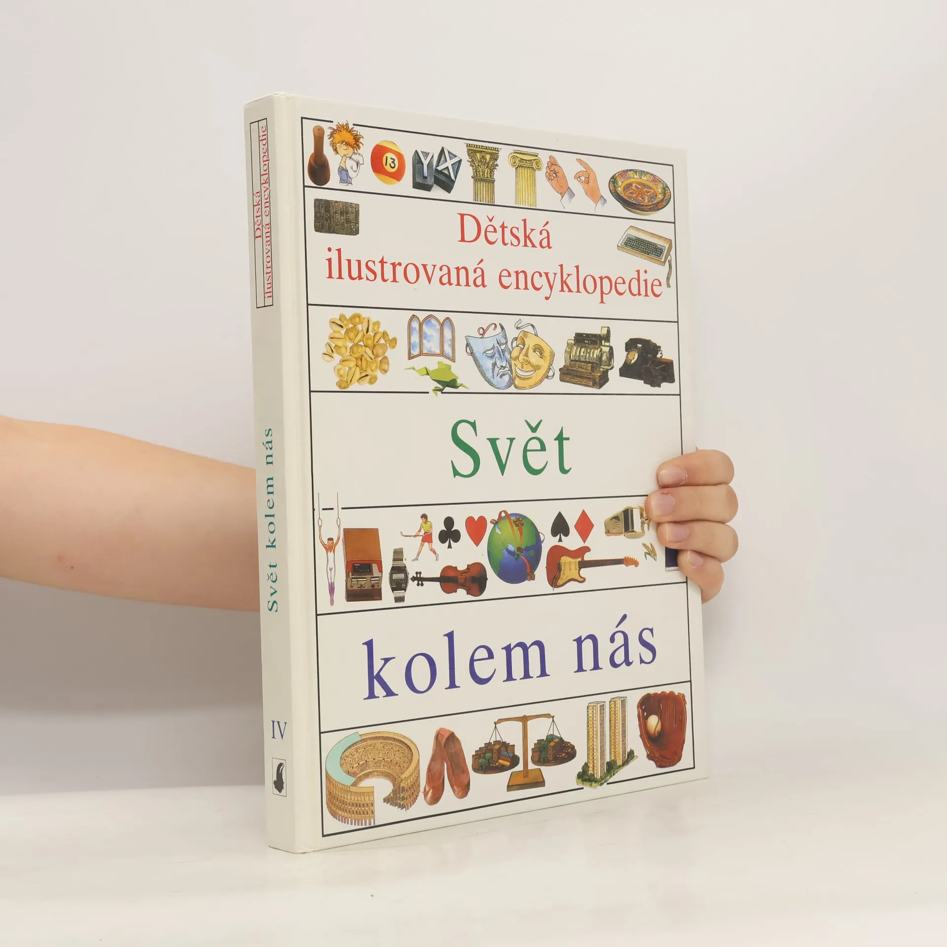
Dětská ilustrovaná encyklopedie IV
Svět kolem nás
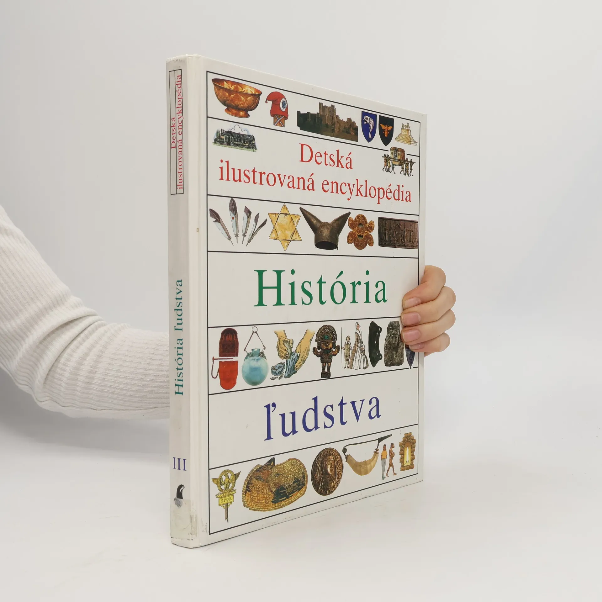
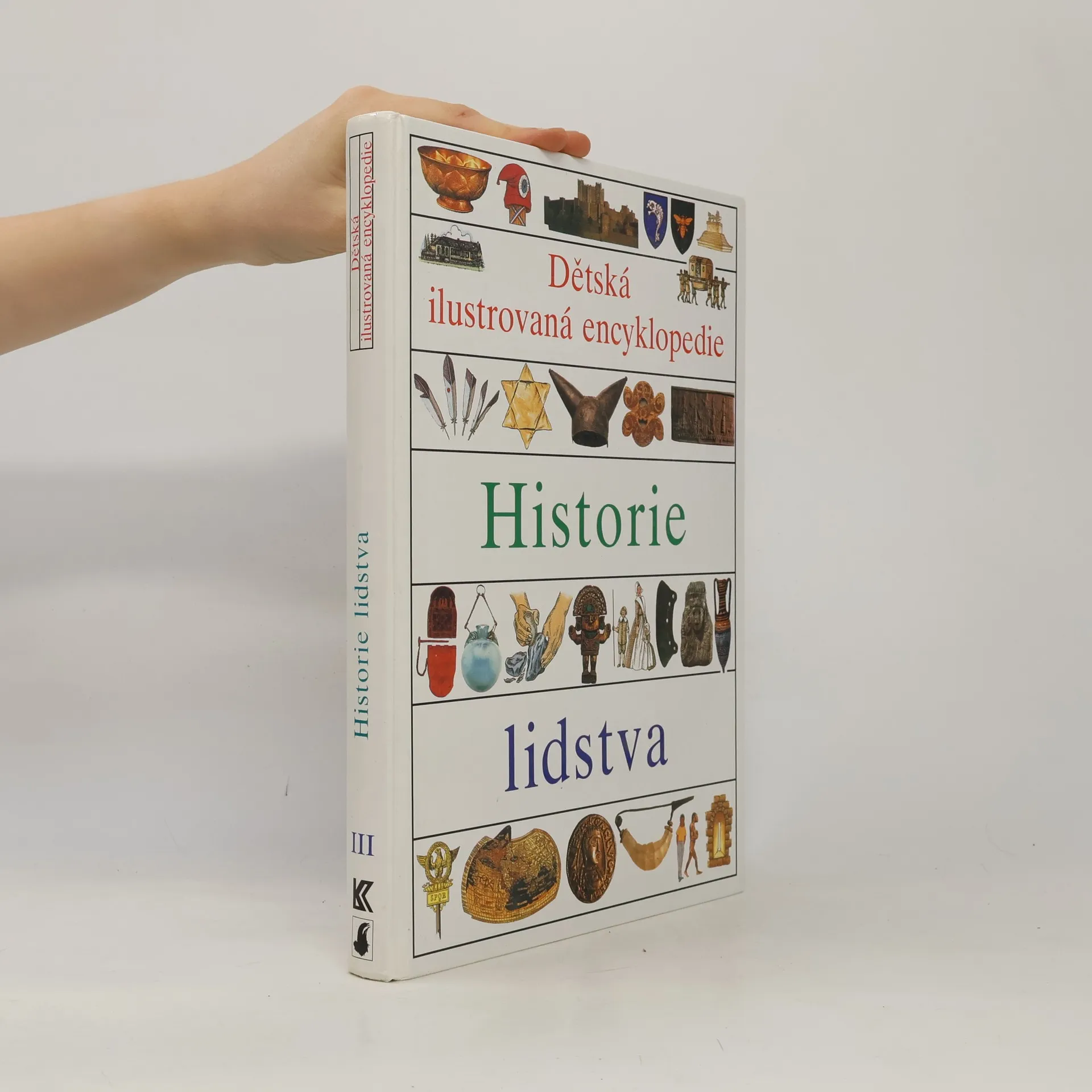
Dětská ilustrovaná encyklopedie. III, Historie lidstva
- 168 stránek
- 6 hodin čtení
Každý díl obsahuje množství informací o vědě a technice, přírodě, dějinách i současném světě. Text je napsaný poutavě, přehledně a přístupnou formou, takže zaujme už i mladší čtenáře. Ilustrace nabízejí nejen nevšední divácký zážitek, ale jsou i dokonale propojené s textem, přináší množství informací, vábí dítě k novým a novým čtenářským objevům.
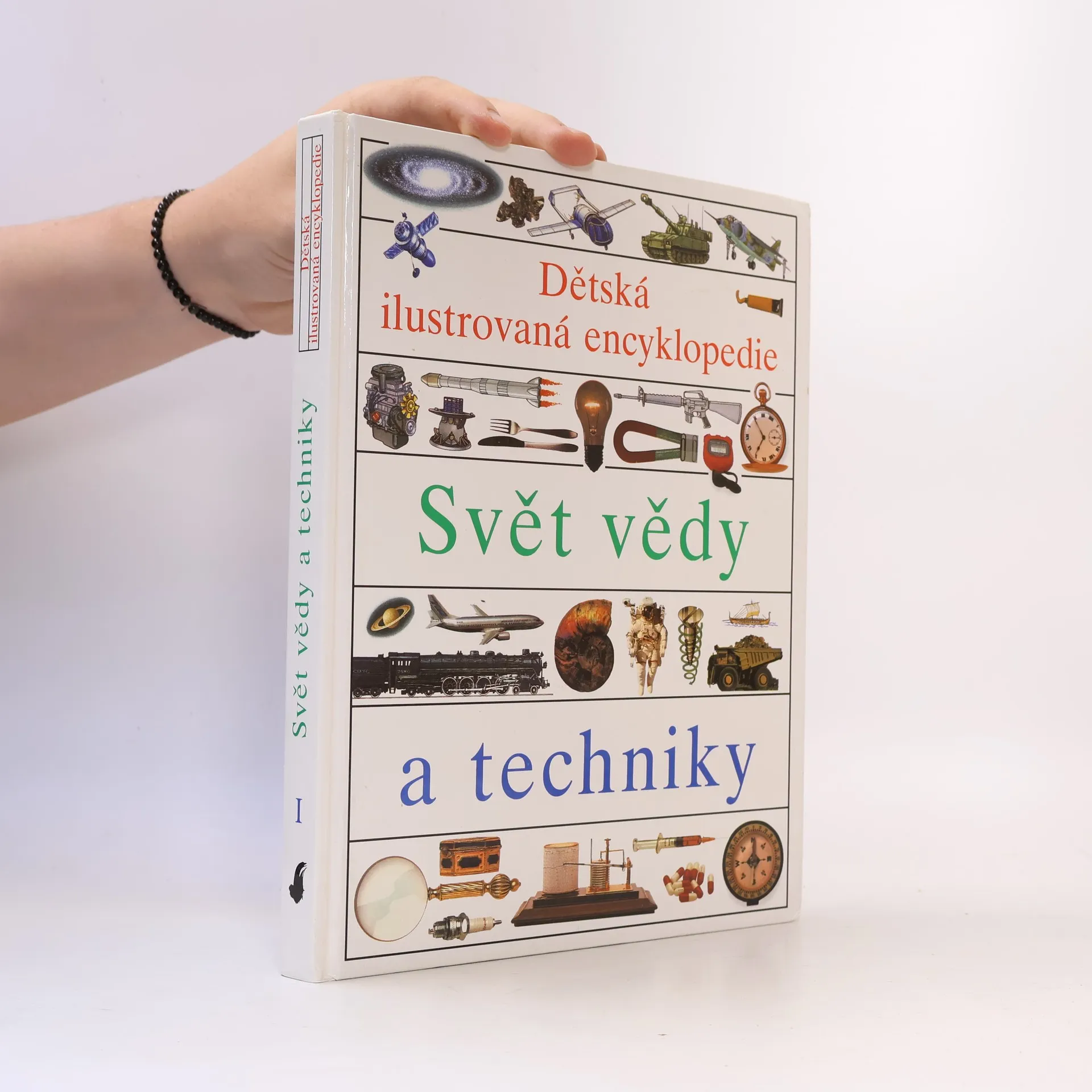
Dětská ilustrovaná encyklopedie. Svět vědy a techniky
- 168 stránek
- 6 hodin čtení
Kapitoly: Fyzika, matematika a meranie, Svetlo a farby, Chémia a materiály, Vedy o Zemi, Počasie a podnebie, Energia a zdroje, Lekárske vedy, Elektronika a stroje, Komunikácia a navigácia, Doprava, Stavebné technológie, Vojenská technika, Astronómia a kozmonautika, Prehľady.