Knihobot

Andrew McCluggage

    Walking Brittany
    Northern Ireland
    Trekking the Hadrian's Wall Path (National Trail Guidebook with OS 1:25k maps)
    Trekking the South Downs Way
    Trekking the Corsica GR20 - Two-Way Trekking Guide - Real IGN Maps 1:25,000
    Trekking the Dolomites AV1
    • Trekking the Dolomites AV1

      • 144 stránek
      • 6 hodin čtení
      4,8(5)Ohodnotit

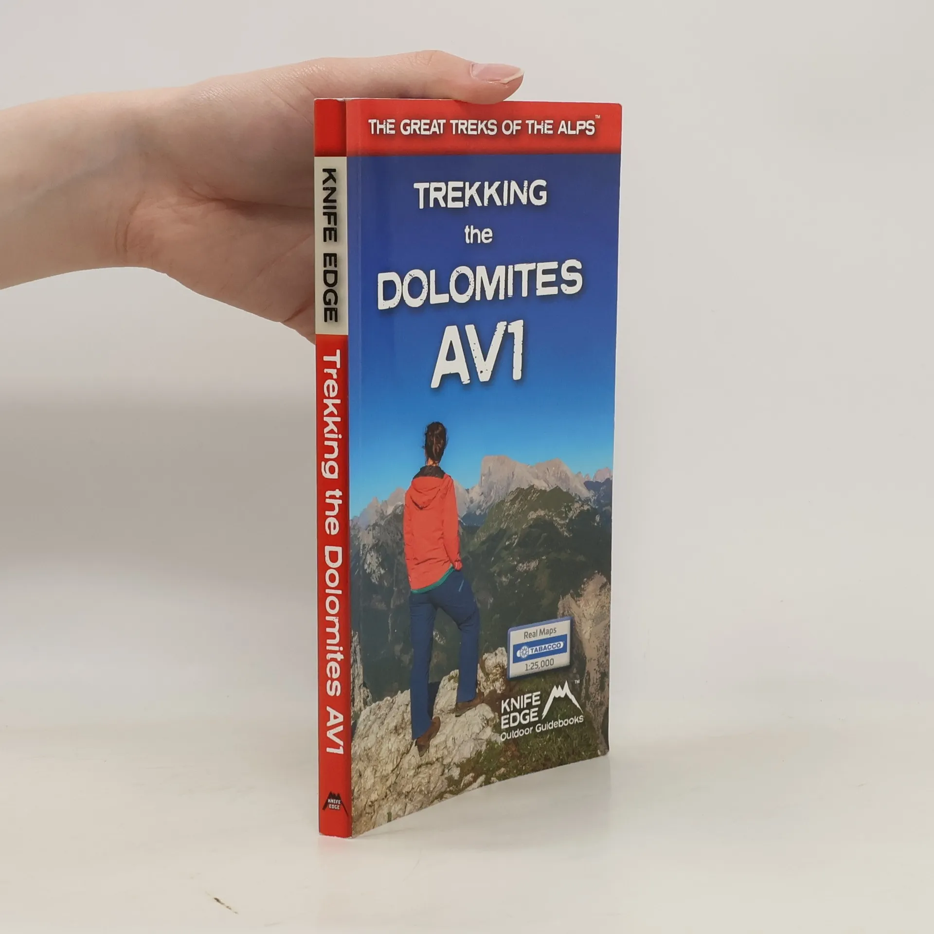
      This is only guidebook exclusively for the AV1 and contains everything needed plan and walk Italy's most popular long-distance route. The guidebook contains real maps - Tabacco 1:25,000 - the finest maps available for the Dolomites, thus making navigation easy with no need to carry additional maps.

      Trekking the Dolomites AV1
    • Definitive two-way guide to the South Downs Way with westbound and eastbound routes described in full. Contains full Ordnance Survey Explorer mapping inside (1:25,000) and has 18 different itineraries for walkers and runners. Difficult calculations of time, distance and altitude gain are done for you.

      Trekking the South Downs Way
    • This definitive two-way guide to the Hadrian's Wall Path contains real OS mapping at 1:25,000 and both eastbound and westbound routes are described in full. There are 14 different itineraries with schedules of 3, 4, 5, 6, 7, 8 and 9 days for walkers and runners. Difficult calculations of time, distance and altitude gain are done for you.

      Trekking the Hadrian's Wall Path (National Trail Guidebook with OS 1:25k maps)
    • Discover Northern Ireland's wild mountains, epic cliffs, spectacular beaches and stunning moorland in this, the definitive guidebook for walking in Northern Ireland, It contains 35 epic walks, hand-picked by a Country Down local, including the Causeway Coast, the Glens of Antrim, the Mourne Mountains, the Sperrin Mountains and much more.

      Northern Ireland
    • Walking Brittany

      • 136 stránek
      • 5 hodin čtení

      Brittany's coastline has 3,000 km of sea frontage - plenty of spectacular and seemingly endless cliffs, remote rocky headlands and peninsulas and innumerable white sand beaches The guidebook includes Real IGN maps (1:25,000), numbered waypoints linking the Real maps to the book's clear descriptions and graded routes to suit all abilities.

      Walking Brittany
    • Walking Chamonix Mont Blanc

      • 132 stránek
      • 5 hodin čtení

      Only the most epic walks in the Chamonix Valley are included in this walking guide. Each walk has been carefully selected to enable easy access by public transport, including the Chamonix Valley's incredible cable car network.

      Walking Chamonix Mont Blanc
    • Big Hikes in the Mourne Mountains

      • 156 stránek
      • 6 hodin čtení

      A collection of epic long-distance routes for walkers and runners in the Mournes, Northern Ireland's highest mountains with real OS Northern Ireland mapping.

      Big Hikes in the Mourne Mountains
    • Waterproof sheet map for Iceland's Laugavegur Trail (& Fimmvorduhals Trail): 1:40,000. Includes free GPX downloads for the trails. The definitive map to Iceland's two best trails: larger scale and more detail than any other map. Made specifically for the treks by Knife Edge Outdoor Guidebooks.

      Trekking Map: Iceland's Laugavegur Trail (& Fimmvorduhals Trail)