
Více o knize
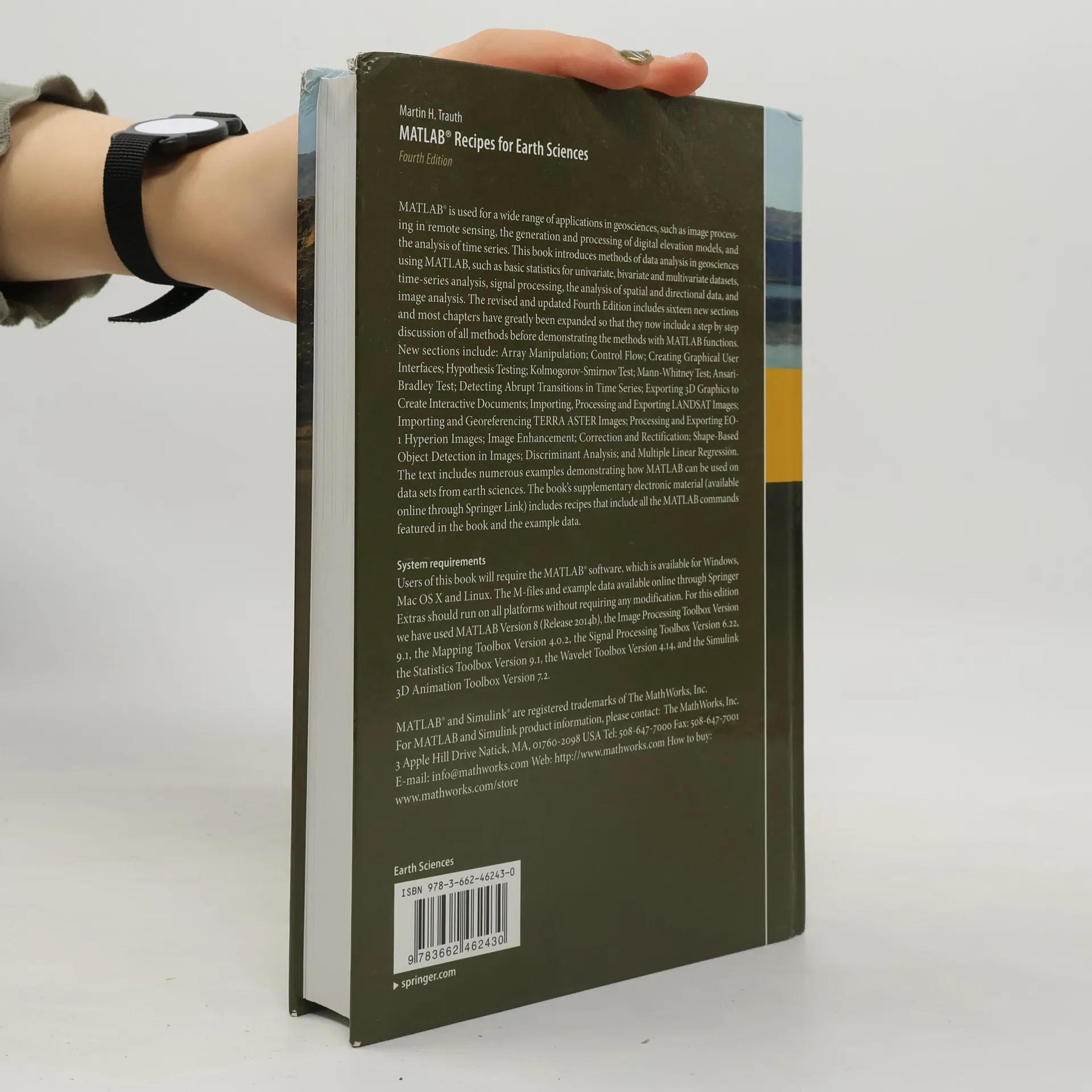
MATLAB® is widely utilized in geosciences for various applications, including image processing in remote sensing, digital elevation model generation, and time series analysis. This book presents data analysis methods in geosciences using MATLAB, covering basic statistics for univariate, bivariate, and multivariate datasets, time-series analysis, signal processing, and image analysis. The revised Fourth Edition introduces sixteen new sections and expands most chapters, providing a step-by-step discussion of methods followed by demonstrations using MATLAB functions. New topics include Array Manipulation, Control Flow, Graphical User Interfaces, Hypothesis Testing, and various statistical tests such as the Kolmogorov-Smirnov and Mann-Whitney tests. Additional sections address detecting abrupt transitions in time series, exporting 3D graphics, and processing LANDSAT and TERRA ASTER images, along with image enhancement and shape-based object detection. The text is filled with examples showcasing MATLAB applications on earth science datasets. Supplementary electronic material available online through Springer Link features recipes with all MATLAB commands and example data from the book.

Nákup knihy
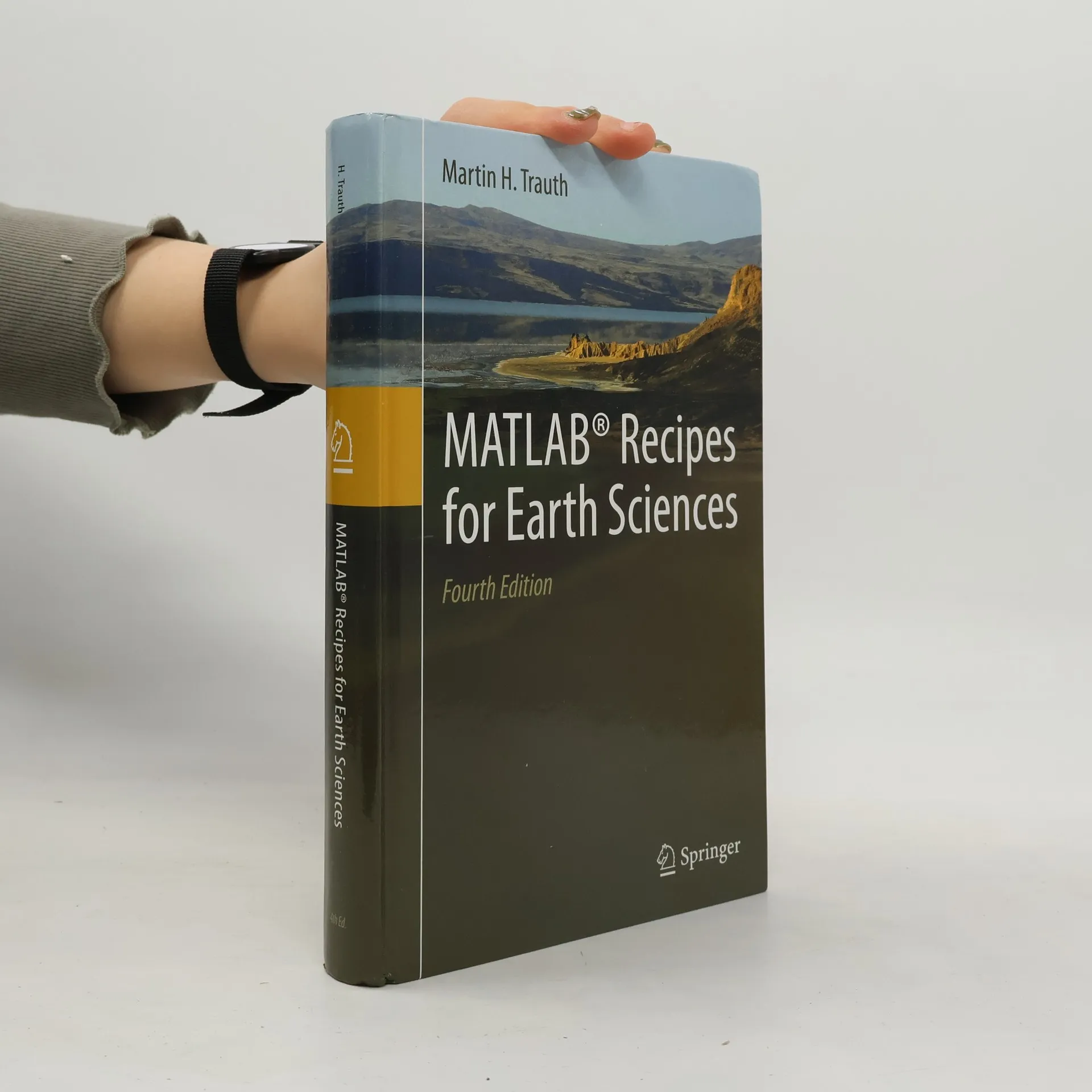
MATLAB recipes for earth sciences, Martin H. Trauth
- Jazyk

- Rok vydání
- 2015
- product-detail.submit-box.info.binding
- (pevná)
Doručení
Platební metody
Tady nám chybí tvá recenze.
- Jazyk
- anglicky
- Autoři
- Martin H. Trauth
- Vydavatel
- Springer
- Rok vydání
- 2015
- Vazba
- pevná
- Počet stran
- 441
- ISBN10
- 3662462435
- ISBN13
- 9783662462430
- Série
- Hodnocení
- 3,5 z 5
- Anotace
- MATLAB® is widely utilized in geosciences for various applications, including image processing in remote sensing, digital elevation model generation, and time series analysis. This book presents data analysis methods in geosciences using MATLAB, covering basic statistics for univariate, bivariate, and multivariate datasets, time-series analysis, signal processing, and image analysis. The revised Fourth Edition introduces sixteen new sections and expands most chapters, providing a step-by-step discussion of methods followed by demonstrations using MATLAB functions. New topics include Array Manipulation, Control Flow, Graphical User Interfaces, Hypothesis Testing, and various statistical tests such as the Kolmogorov-Smirnov and Mann-Whitney tests. Additional sections address detecting abrupt transitions in time series, exporting 3D graphics, and processing LANDSAT and TERRA ASTER images, along with image enhancement and shape-based object detection. The text is filled with examples showcasing MATLAB applications on earth science datasets. Supplementary electronic material available online through Springer Link features recipes with all MATLAB commands and example data from the book.