
Vyprodáno


Více o knize
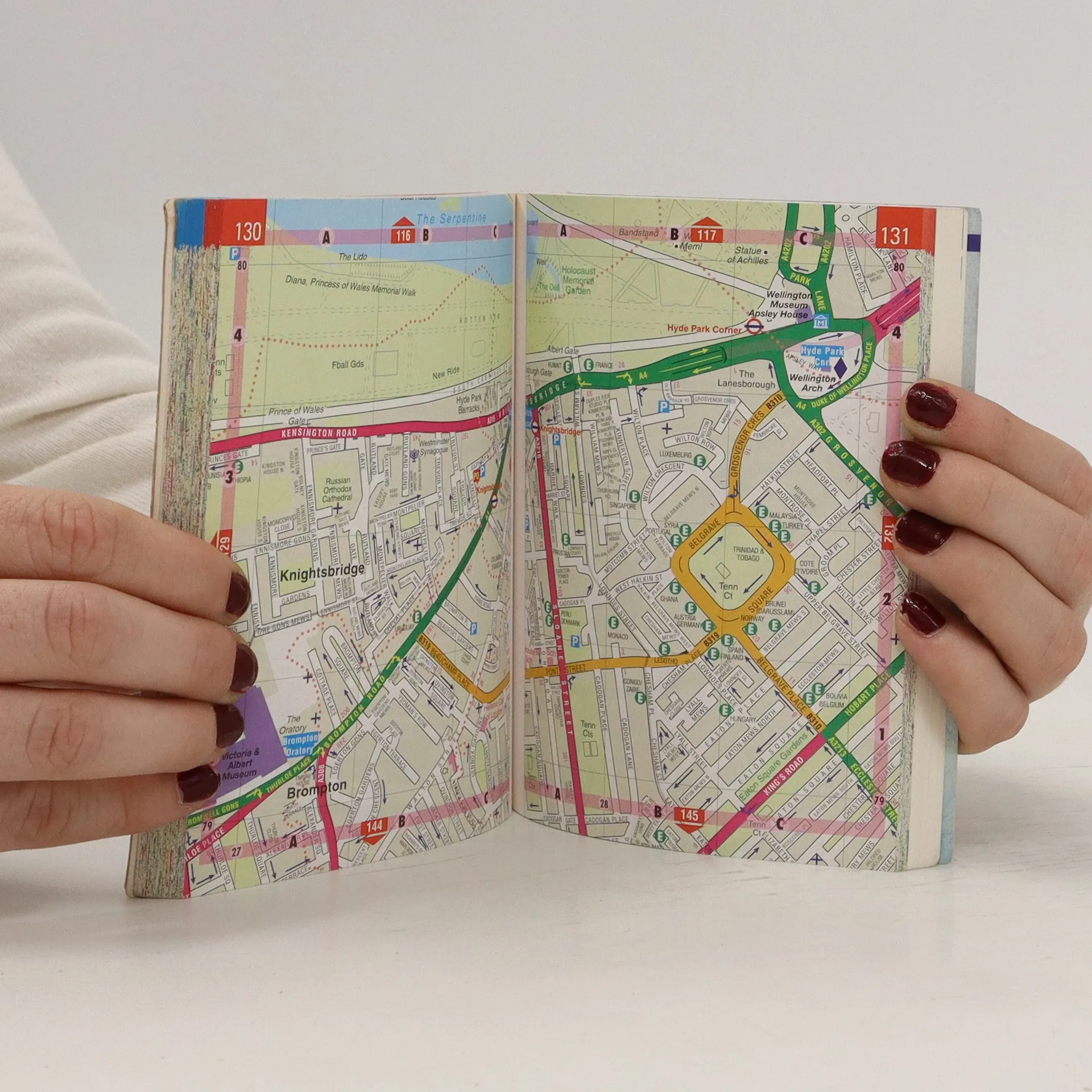
This street atlas (3.5 inches: 1 mile) shows through routes and a planning map showing main roads in and out of London. Tourist attractions are highlighted as well as bus routes, theatres and cinemas. The central area map has a scale of 7 inches to 1 mile.
Nákup knihy
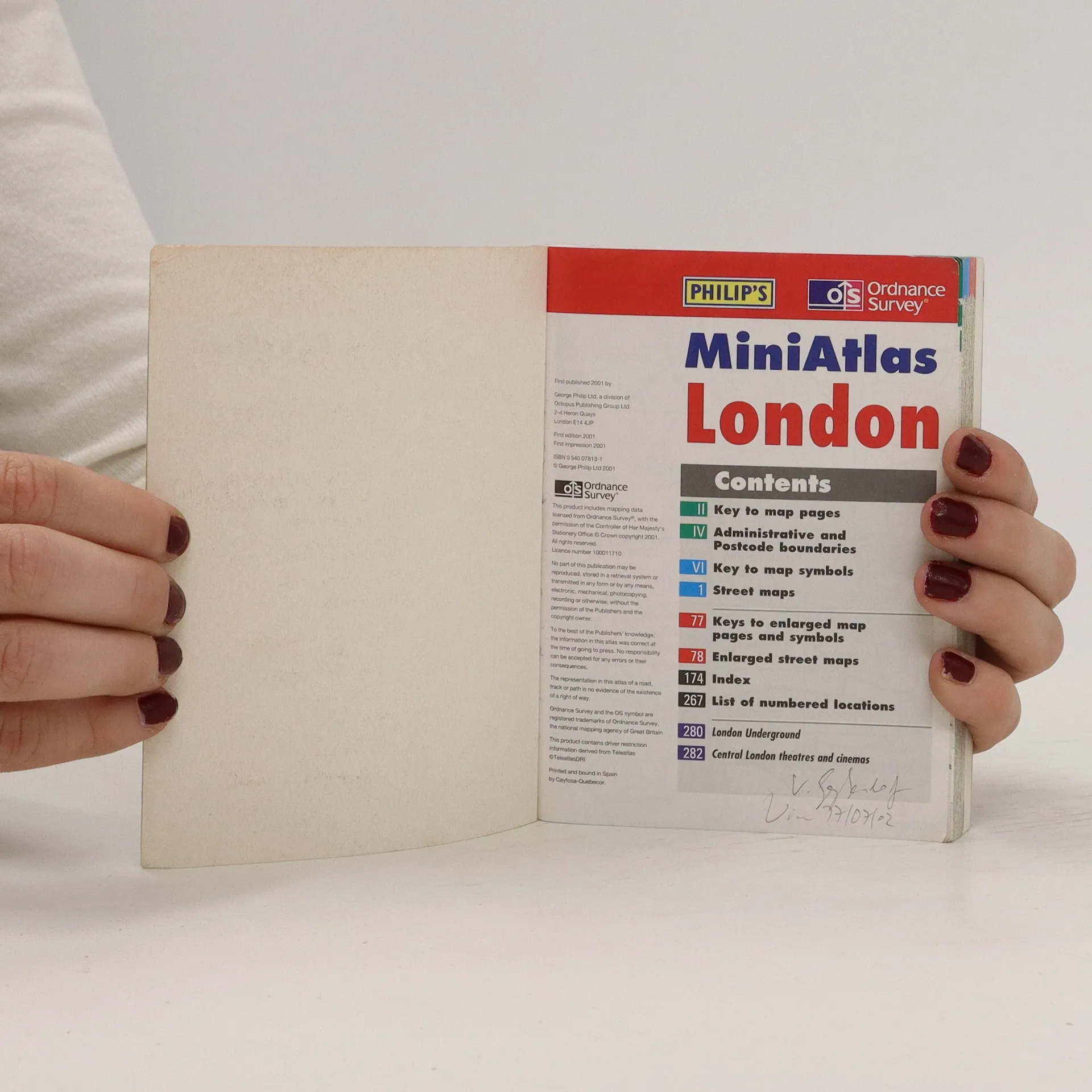
MiniAtlas London, Kolektiv autorů
- Jazyk

- Rok vydání
- 2001
- product-detail.submit-box.info.binding
- (měkká)
Jakmile se objeví, pošleme e-mail.
Doručení
Platební metody
Nikdo zatím neohodnotil.
- Titul
- MiniAtlas London
- Jazyk
- anglicky
- Autoři
- Kolektiv autorů
- Vydavatel
- Philip's
- Rok vydání
- 2001
- Vazba
- měkká
- Počet stran
- 282
- ISBN10
- 0540078131
- ISBN13
- 9780540078134
- Série
- Anotace
- This street atlas (3.5 inches: 1 mile) shows through routes and a planning map showing main roads in and out of London. Tourist attractions are highlighted as well as bus routes, theatres and cinemas. The central area map has a scale of 7 inches to 1 mile.