
Vyprodáno
Více o knize
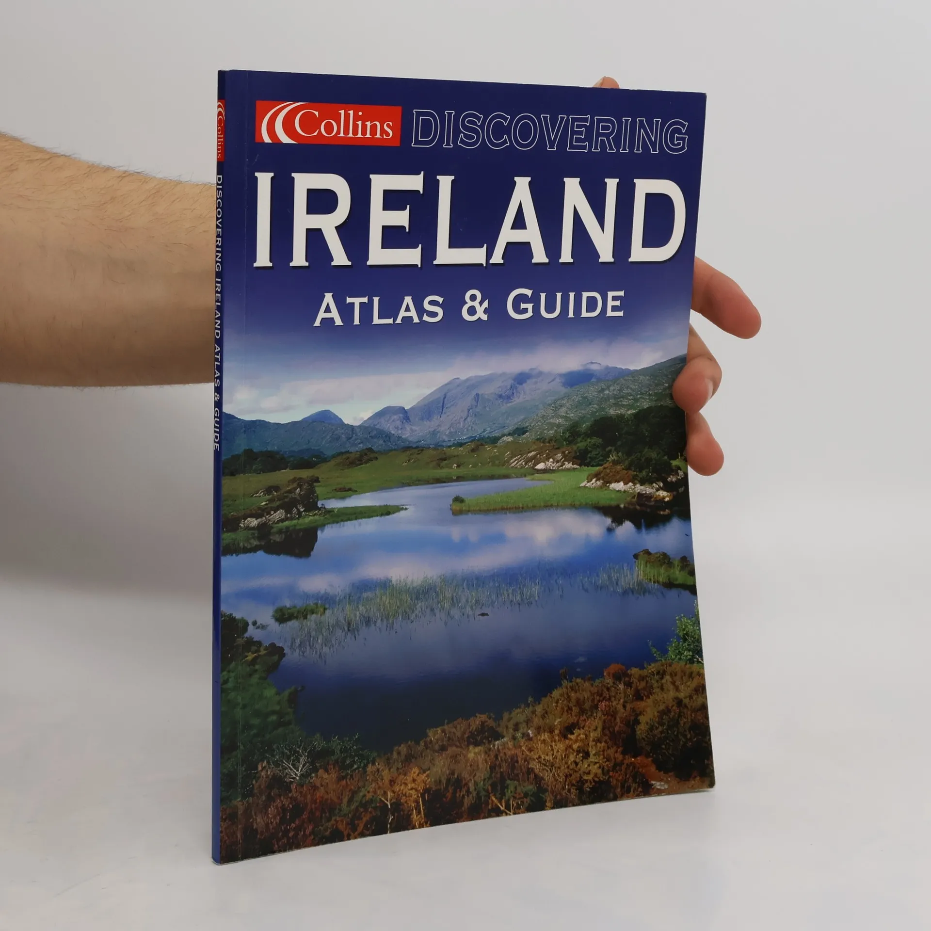
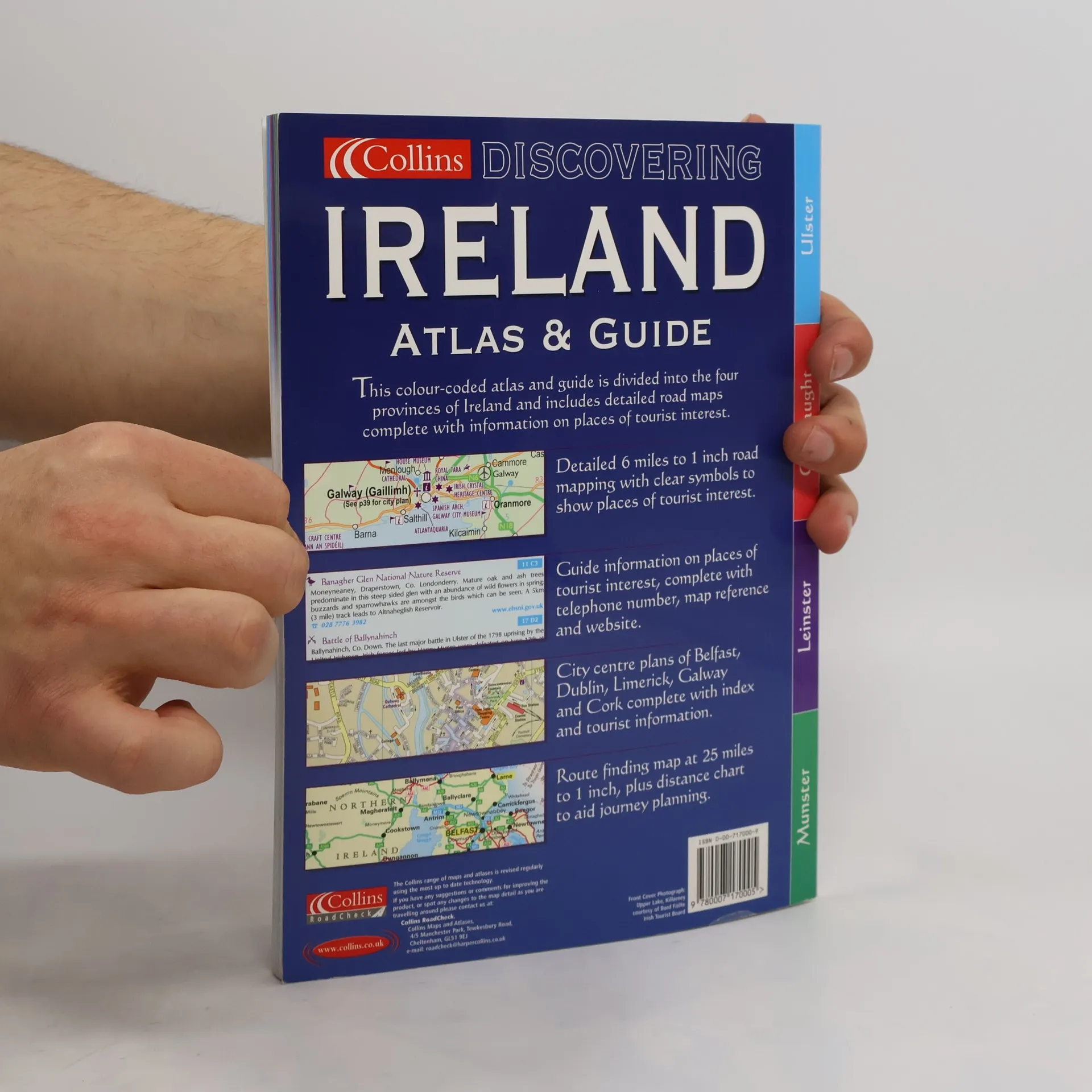
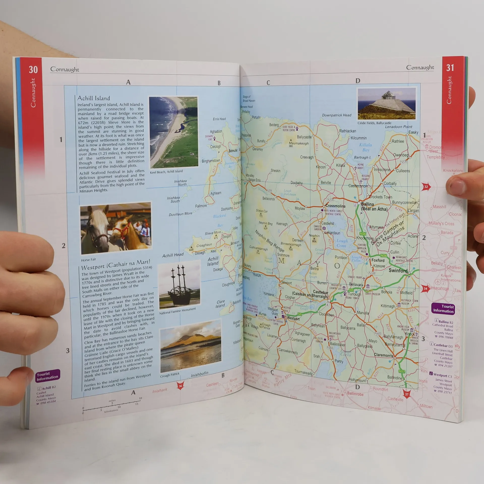
This is a full colour atlas of Ireland with brief descriptive text, information, websites and phone numbers for all the best places to visit. The atlas and guide is divided into the four provinces of Ireland and is fully colour coded to aid use. Features include: route planning maps of Ireland at approximately 25 miles to one inch; a map showing the four provinces of Ireland; detailed six miles to one inch road mapping; and information on places to visit in each province. There are also large scale town and city centre plans of Belfast, Cork, Dublin and Limerick.
Nákup knihy
Discovering Ireland, Collins Publishers Staff
- Jazyk

- Rok vydání
- 2004
- product-detail.submit-box.info.binding
- (měkká)
Jakmile se objeví, pošleme e-mail.
Doručení
Platební metody
Tady nám chybí tvá recenze.
- Titul
- Discovering Ireland
- Jazyk
- anglicky
- Autoři
- Collins Publishers Staff
- Rok vydání
- 2004
- Vazba
- měkká
- Počet stran
- 96
- ISBN10
- 0007170009
- ISBN13
- 9780007170005
- Série
- Hodnocení
- 4 z 5
- Anotace
- This is a full colour atlas of Ireland with brief descriptive text, information, websites and phone numbers for all the best places to visit. The atlas and guide is divided into the four provinces of Ireland and is fully colour coded to aid use. Features include: route planning maps of Ireland at approximately 25 miles to one inch; a map showing the four provinces of Ireland; detailed six miles to one inch road mapping; and information on places to visit in each province. There are also large scale town and city centre plans of Belfast, Cork, Dublin and Limerick.