
Kupuješ přesně tu knihu, která je na fotce
Parametry
- 430 stránek
- 16 hodin čtení
Více o knize
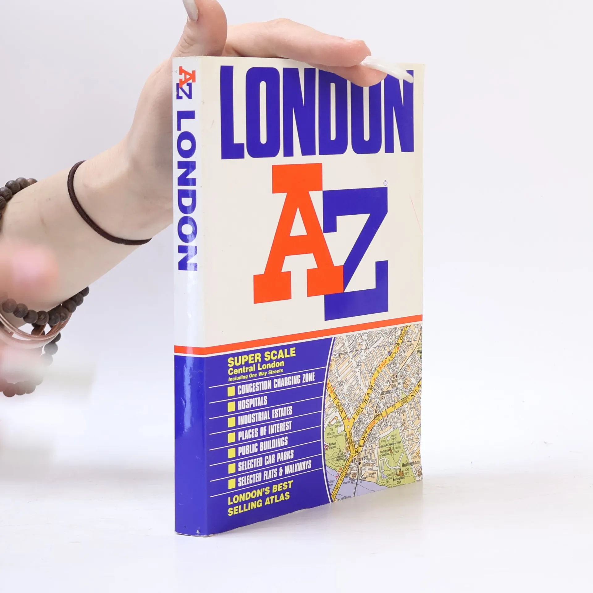
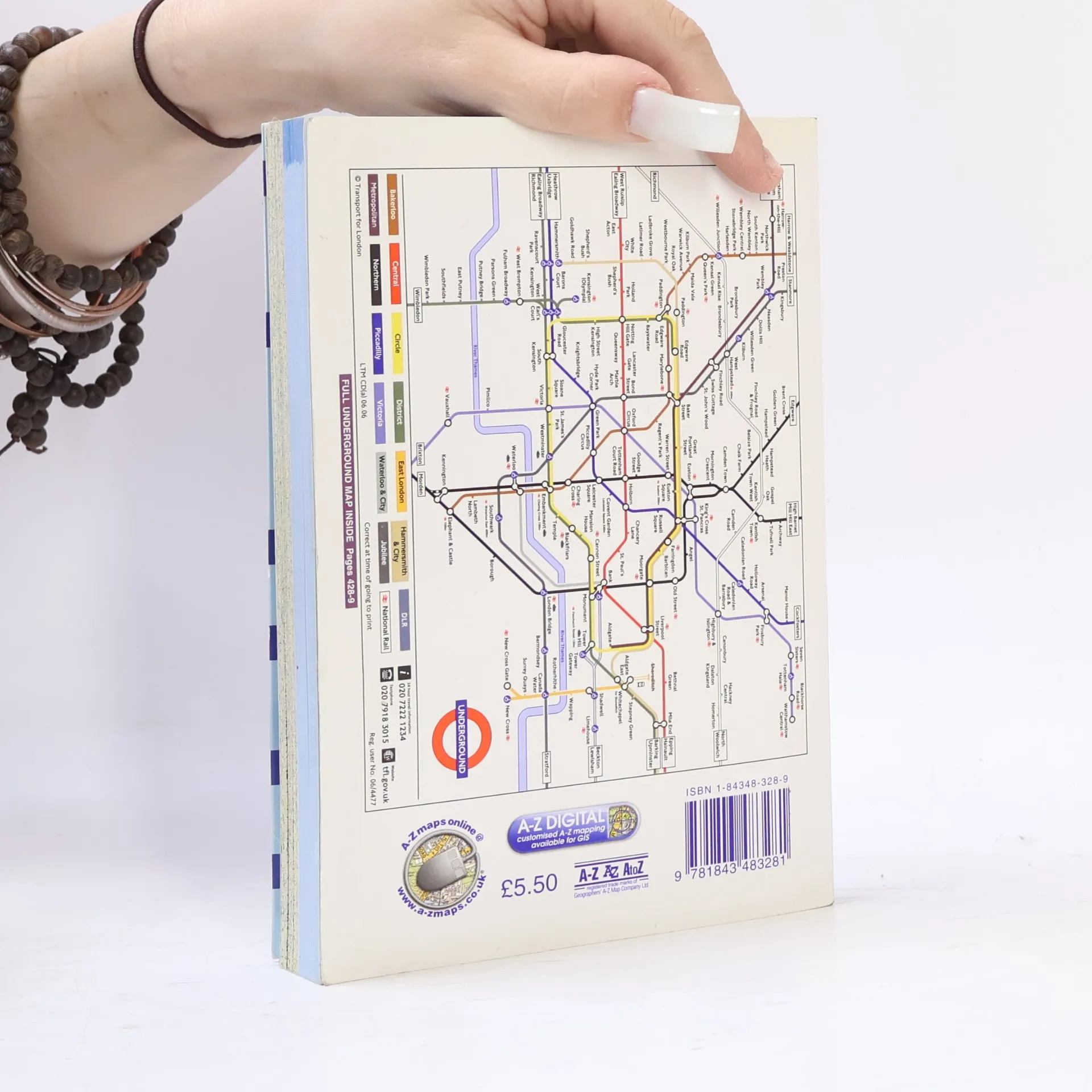
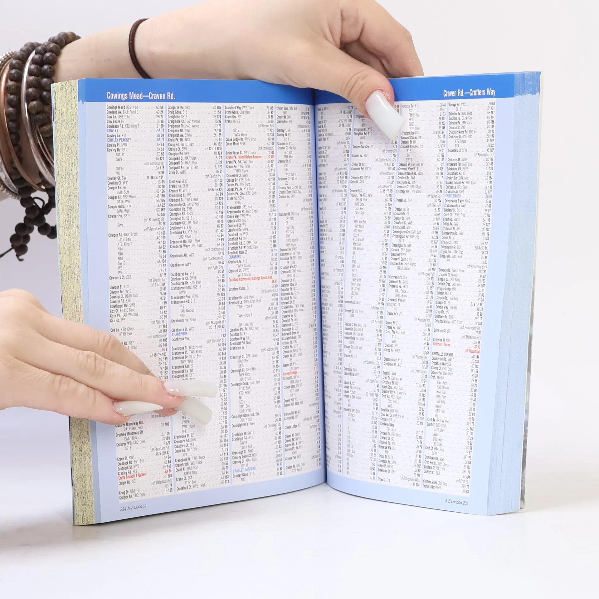
Want to find your way around London? Look no further than London's best selling Atlas - London AZ. The new 2004 edition of this super scale central London atlas includes clear detailed maps covering the central area, one way streets, an index to over 69,000 streets, elected car parks, and railway and Underground connections throughout Greater London.


Nákup knihy
London AZ, Kolektiv autorů
- Jazyk

- Rok vydání
- 2007
- product-detail.submit-box.info.binding
- (měkká),
- Stav knihy
- Dobrá
- Cena
- 59 Kč
Doručení
Platební metody
Tady nám chybí tvá recenze.
- Titul
- London AZ
- Jazyk
- anglicky
- Autoři
- Kolektiv autorů
- Vydavatel
- Geographers' A-Z Map Co Ltd
- Rok vydání
- 2007
- Vazba
- měkká
- Počet stran
- 430
- ISBN10
- 1843483289
- ISBN13
- 9781843483281
- Série
- Štítky
- Naučná literatura, Mapy & Cestování, Cestování, Příručky a návody, Turistické průvodce, Britská literatura
- Hodnocení
- 4,55 z 5
- Anotace
- Want to find your way around London? Look no further than London's best selling Atlas - London AZ. The new 2004 edition of this super scale central London atlas includes clear detailed maps covering the central area, one way streets, an index to over 69,000 streets, elected car parks, and railway and Underground connections throughout Greater London.