
Vyprodáno

Parametry
- 296 stránek
- 11 hodin čtení
Více o knize
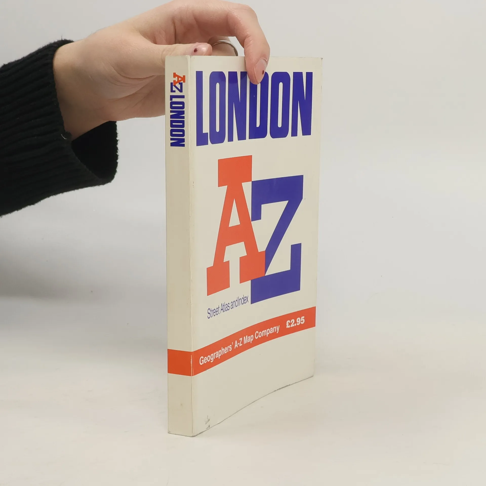
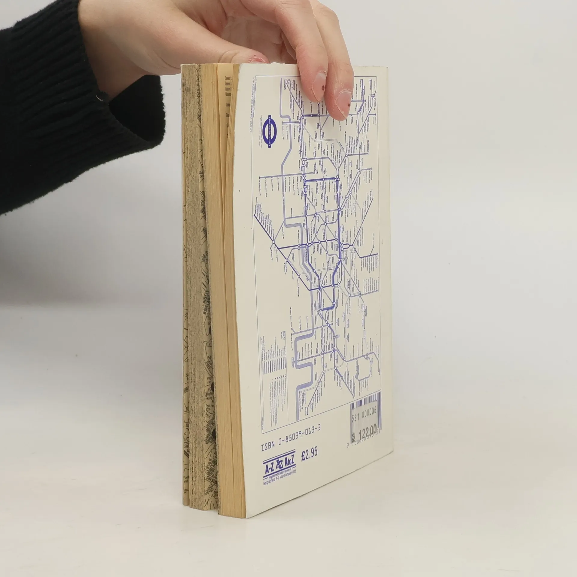
Contains street maps at scale 3" to 1 mile, 11 pages of 4.5" to 1 mile maps covering the congested central area, an Underground map and West End cinema and theatre maps. Coverage extends to Stanmore, Barnet, Enfield, Woodford, Dagenham, Woolwich, Bromley, Croydon, Surbiton, Southall and Harrow.


Nákup knihy
AZ London Street Atlas, Geographers A. Z. Map Company
- Jazyk

- Rok vydání
- 1990
- product-detail.submit-box.info.binding
- (měkká)
Jakmile se objeví, pošleme e-mail.
Doručení
Platební metody
Tady nám chybí tvá recenze.