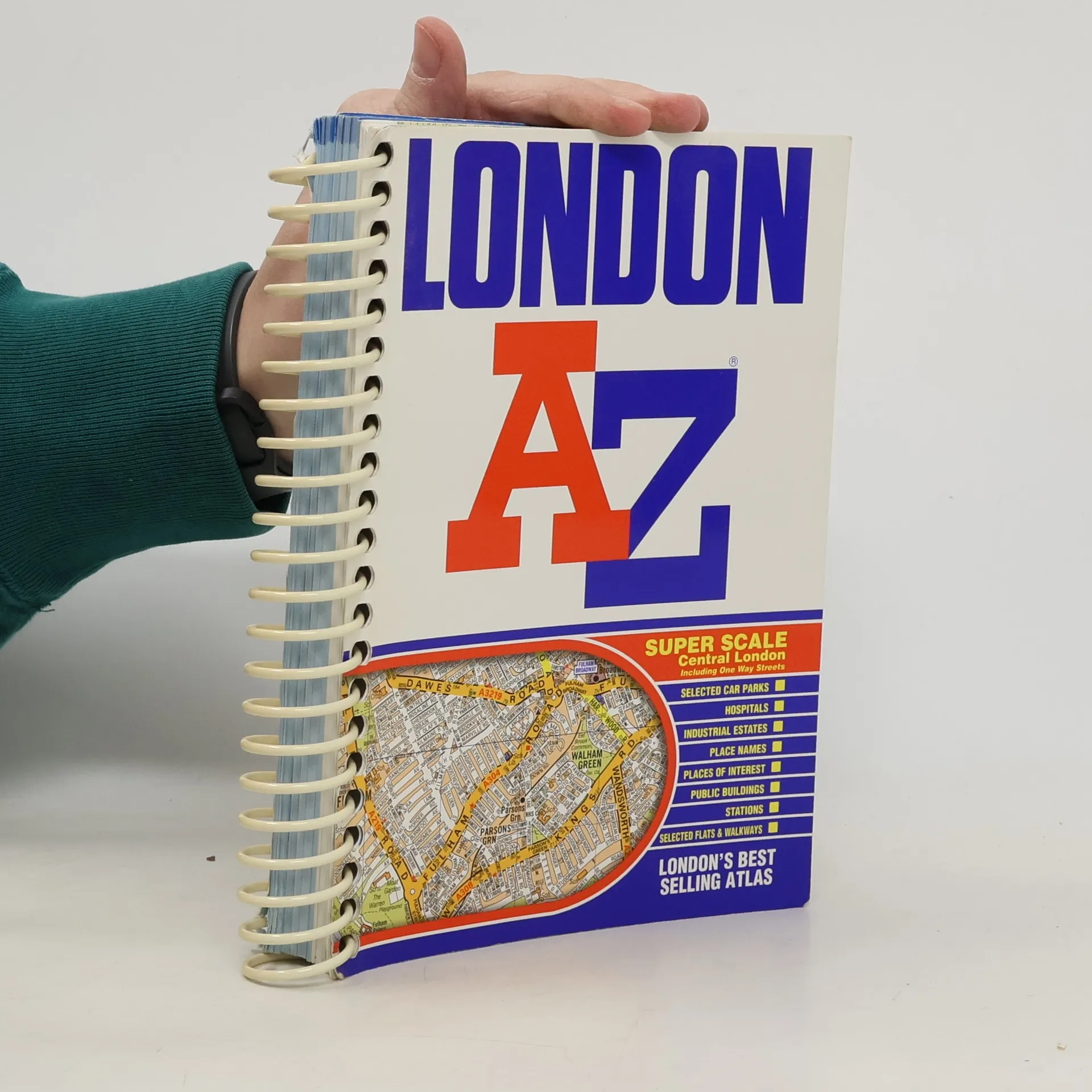
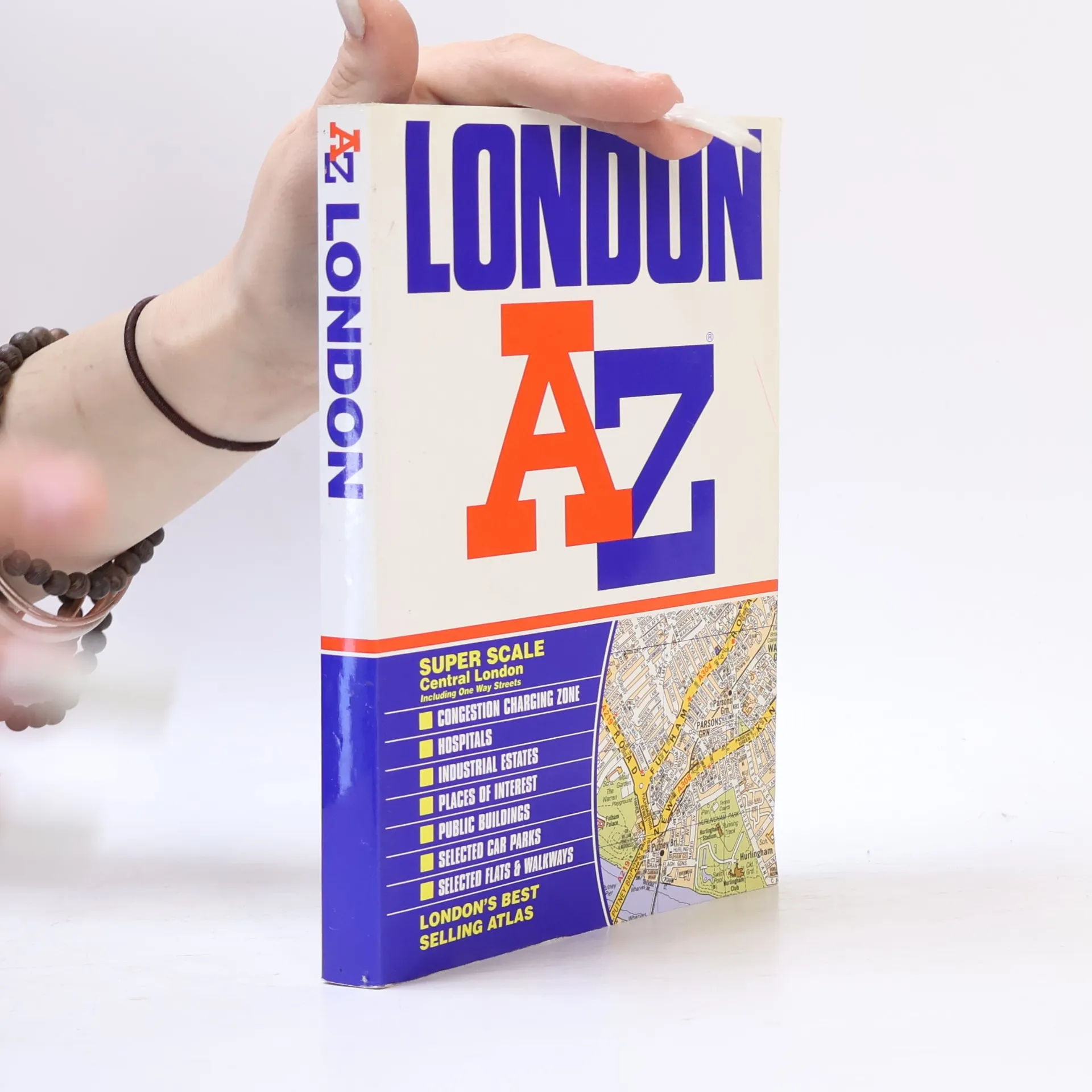
Want to find your way around London? Look no further than London's best selling Atlas - London AZ. The new 2004 edition of this super scale central London atlas includes clear detailed maps covering the central area, one way streets, an index to over 69,000 streets, elected car parks, and railway and Underground connections throughout Greater London.
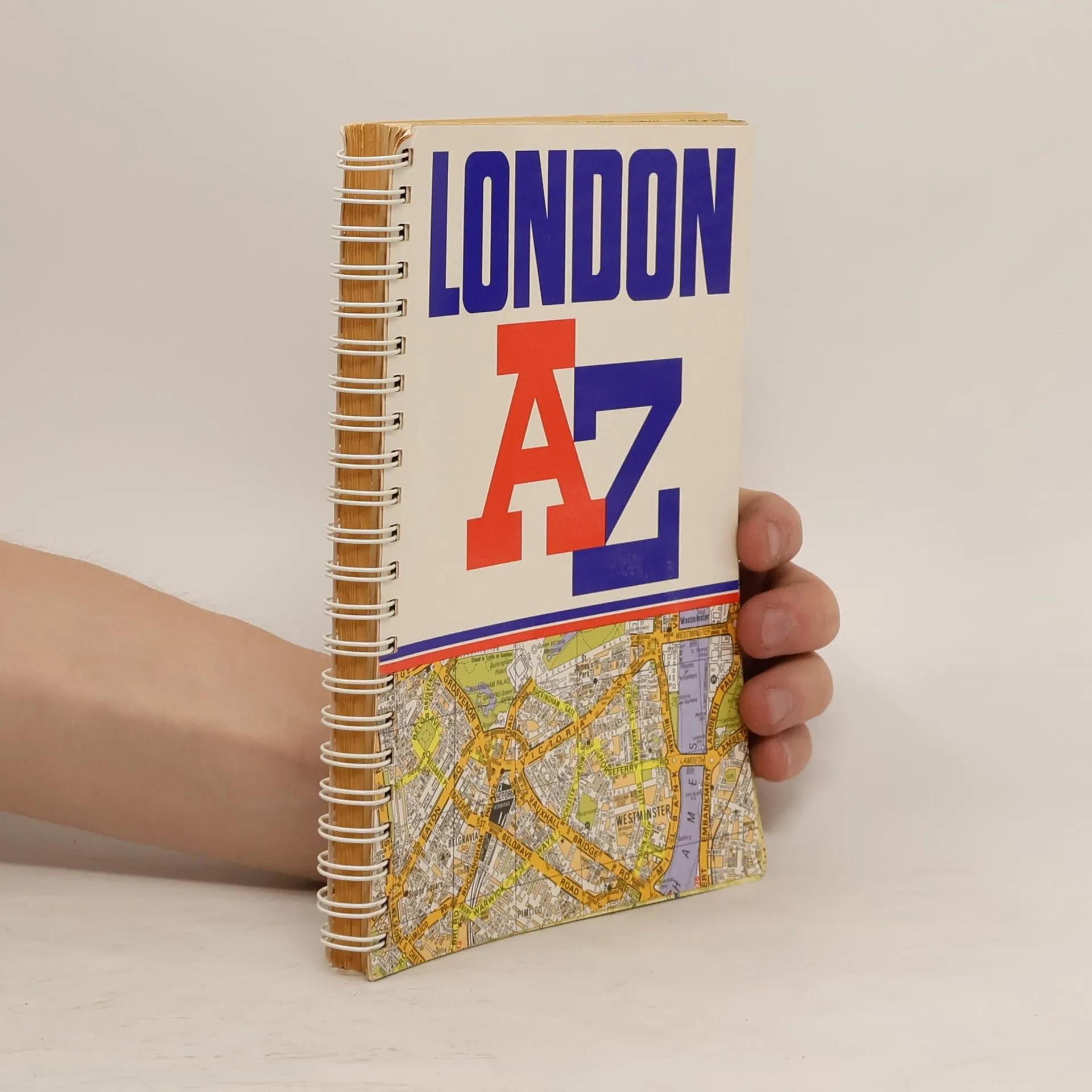
Pocket sized full colour atlas, extending to Neasden, Golders Green, Stoke Newington, Leytonstone and Wimbledon. 98 pages of maps at 3 inches to 1 mile, with 155 pages of street index. Also includes places and areas index, hospitals and stations and a central area Underground map.
This A-Z map of Liverpool is a full colour, paperback street atlas featuring 120 pages of continuous street mapping which extends to include: *Maghull *Crosby *Bootle *Kirkby *Prescot *Huyton *St. Helens *Haydock *Widnes *Runcorn *Wallasey *Birkenhead *West Kirby *Heswall
London cabbies train for years to gain intimate knowledge of the city. The London A-Z is their bible. This highly detailed city atlas is in every glove compartment of every car in the UK -- and for good reason. It shows every street, lane and courtyard there is. In addition, it shows the tube and mainline train stations, gardens, parks, schools and major points of interest. With all-color maps for easy reading, the London A-Z is a top seller. It is continuously updated to ensure the 40,000 thorough-fares shown are current. Fully indexed.
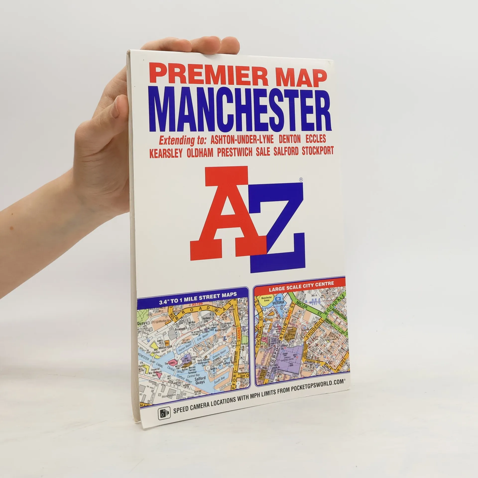
This A-Z Premier map of Manchester is a full colour, single sided, fold-out street map covering the whole of the M60 orbital motorway and extending to: -Kearsley-Whitefield-Oldham-Ashton-under-Lyne-Bredbury-Stockport-Broadheath-Irlam-Worsley-WalkdenAlso included is an inset map of Manchester International Airport. A large scale city centre map of Manchester and a Manchester Rail and Metrolink Connections map are featured on the inside of the cover.Postcode districts, one-way streets and safety camera locations with their maximum speed limits are featured on the street mapping.Attached to the cover is a booklet containing the index which lists streets, selected flats, walkways and places of interest, place and area names, National Rail stations and Metrolink stops, hospitals, hospices and NHS Walk-in Centres covered by this map.
This spiral bound map of Birmingham includes coverage of:•Birmingham•Bloxwich•Dudley•Sedgley•Solihull•Stourbridge•Walsall•West Bromwich•WolverhamptonThe atlas includes 164 street map pages extending to include:•Aldridge•Brownhills•Castle Bromwich•Dorridge•Great Wyrley•Halesowen•Knowle•Longbridge•Oldbury•Smethwick•Sutton Coldfield•Wednesfield•WombourneAlso included are large scale city centre maps of Birmingham and Wolverhampton and a West Midlands rail and Midland Metro transport connections map on the back cover.Postcode districts, one-way streets and safety camera locations with maximum speeds are featured on the mapping.The index section lists streets; selected flats, walkways and places of interest; place and area names; National Rail and Midland Metro stations. There is a separate list of hospitals, NHS Walk-in Centres and hospices covered by this map.
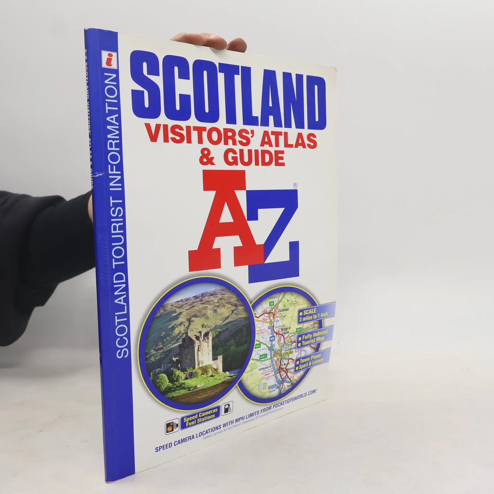
This A-Z Map of Scotland is a full-color visitors' atlas and guide featuring detailed road mapping at 3 miles to 1 inch, complemented by an illustrated town plan section, making it an informative tourist resource. It includes 64 pages of road mapping covering all of Scotland, including the Inner and Outer Hebrides, Orkney, and Shetland Islands. The atlas features an index to cities, towns, villages, and major destinations, along with a comprehensive index of places of interest with corresponding map symbols for quick reference.
There are 20 city and town plans with background text, tourist information, and leisure attraction details for locations such as Aberdeen, Aviemore, Ayr, Dumfries, Dundee, Edinburgh, Glasgow, and more. The mapping is designed for easy use, with clear road classification colors, full motorway junction details, under construction and proposed roads, primary route destinations, service areas, and a variety of tourist attractions. Additional features include hill shading, road gradient markers, selected safety camera locations with speed limits, and fuel stations. This atlas is perfect for exploring Scotland's vibrant towns and cities or enjoying the stunning landscapes the country has to offer.
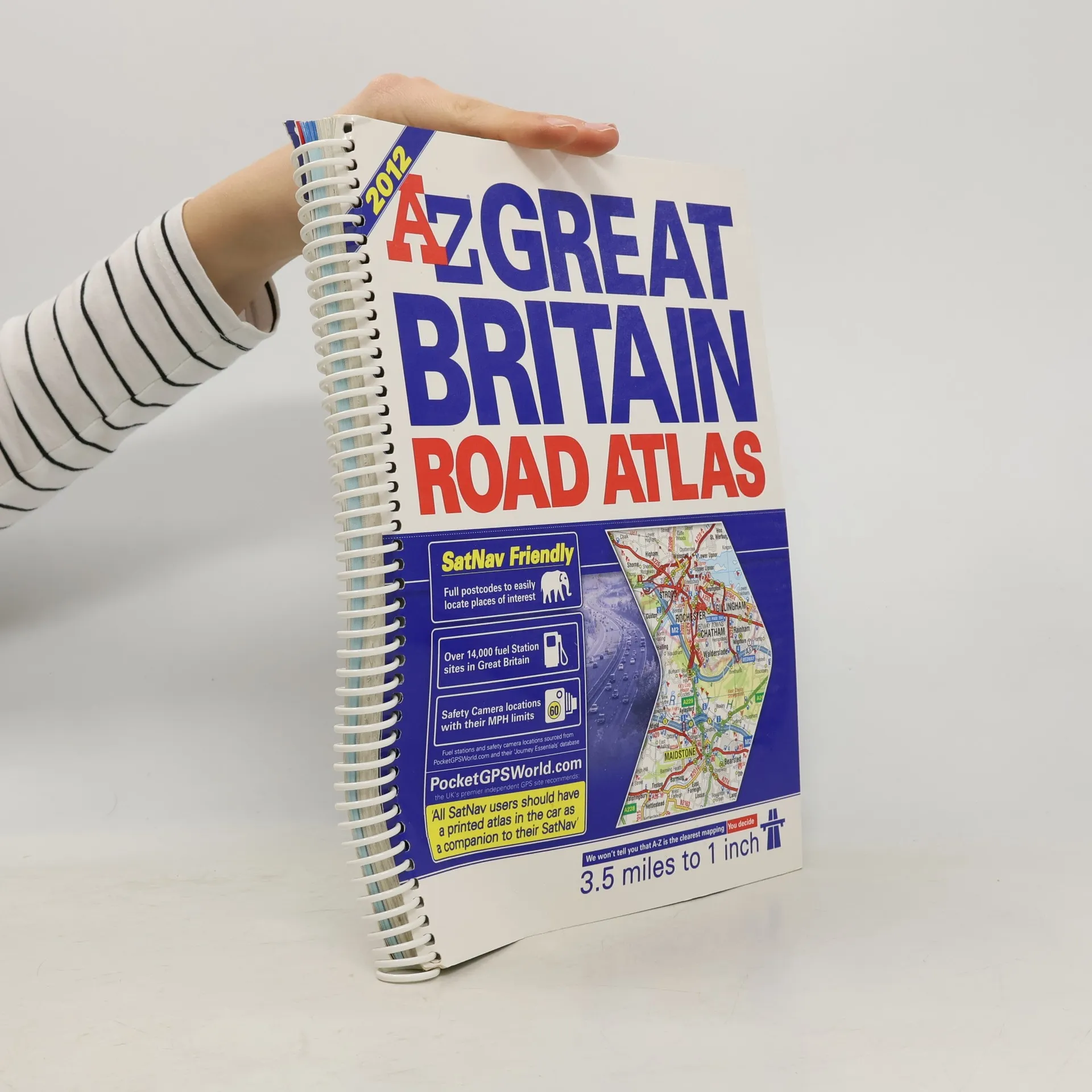
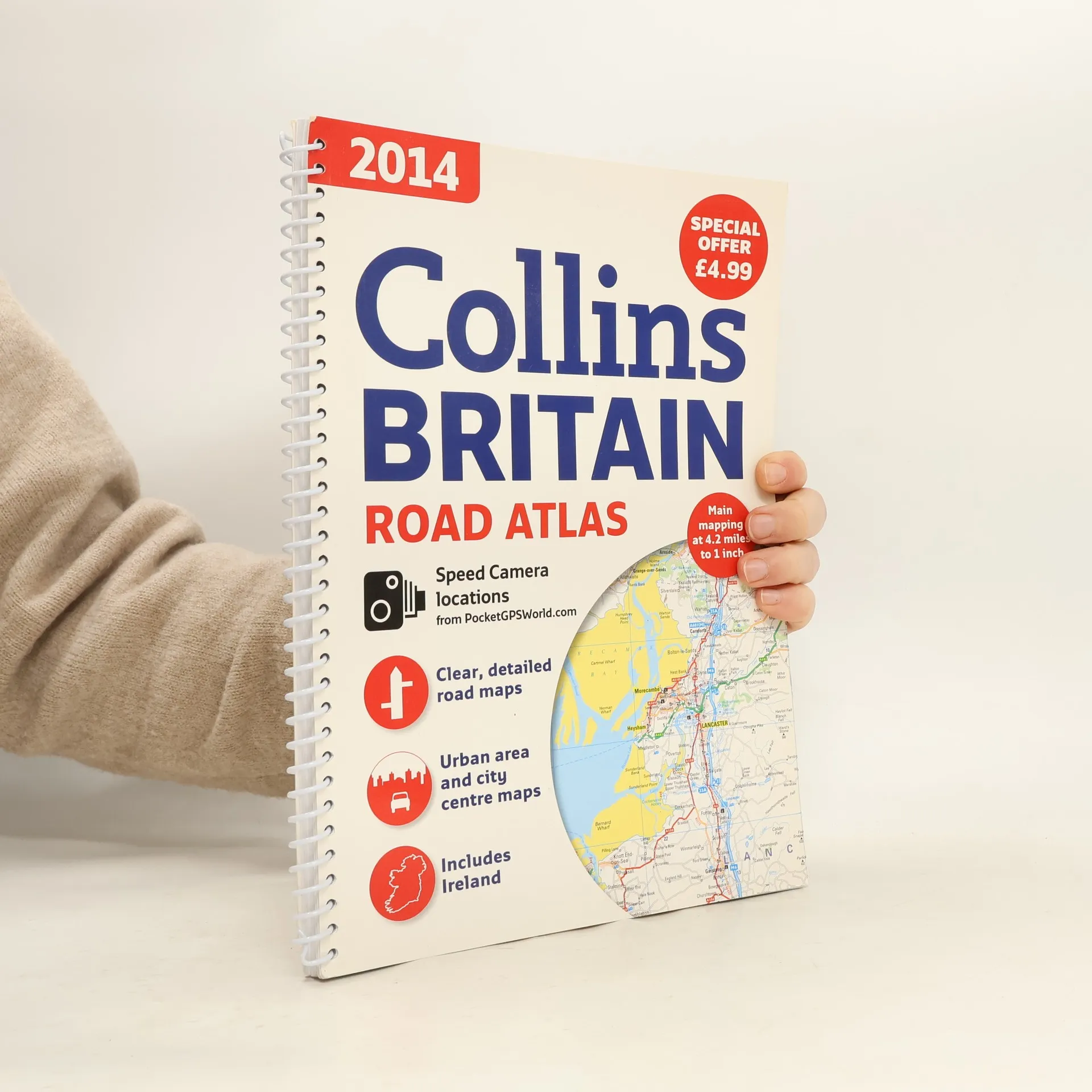
Great Britain Road Atlas 3.5 miles to 1 inch Includes journey route planning maps, Great Britain road map section, detailed main route maps, city and town centre maps, sea port & channel tunnel plans, airport plans, index to places of interest.