
Vyprodáno


Parametry
- 240 stránek
- 9 hodin čtení
Více o knize
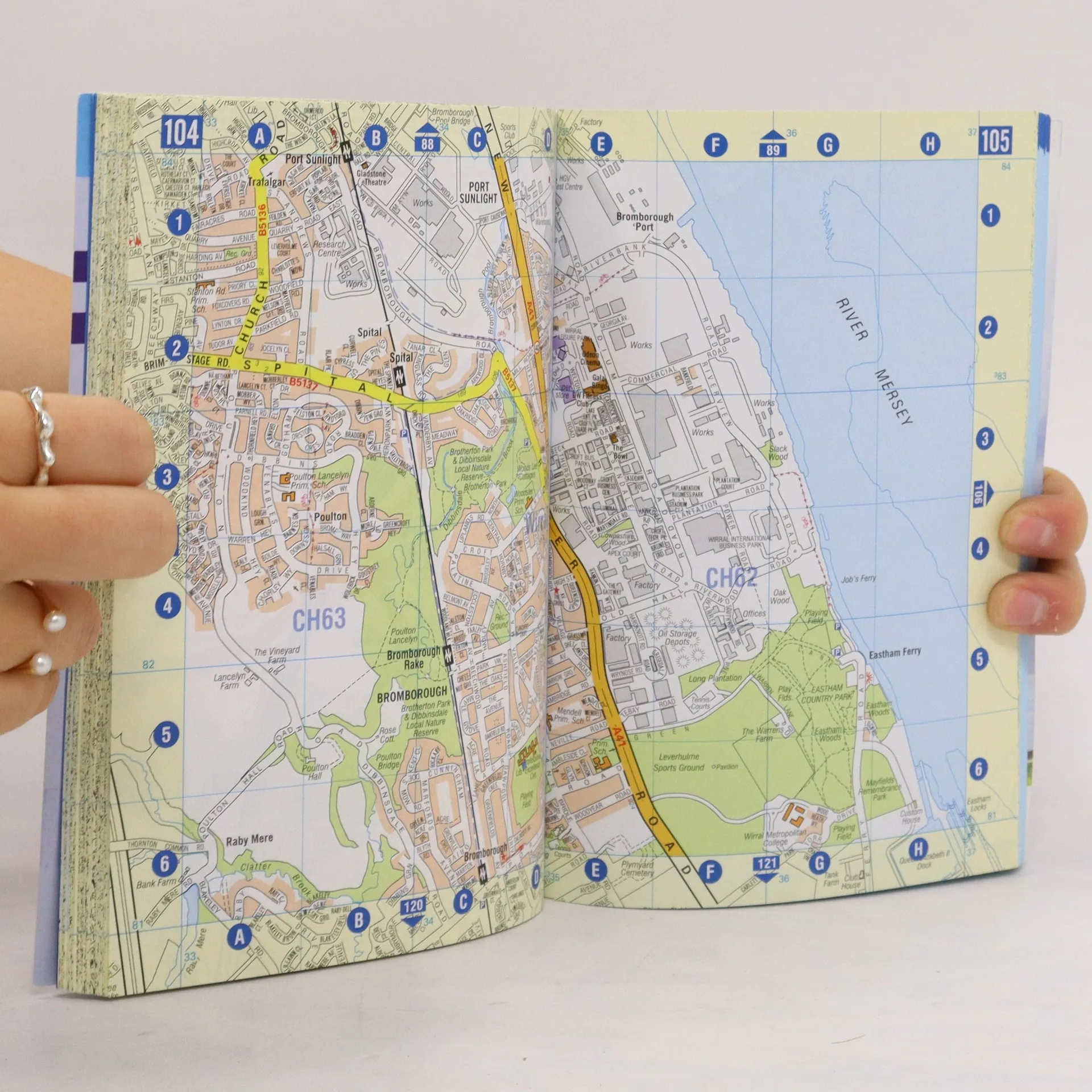
This A-Z map of Liverpool is a full colour, paperback street atlas featuring 120 pages of continuous street mapping which extends to include: *Maghull *Crosby *Bootle *Kirkby *Prescot *Huyton *St. Helens *Haydock *Widnes *Runcorn *Wallasey *Birkenhead *West Kirby *Heswall
Nákup knihy
Liverpool Street Atlas, Geographers A. Z. Map Company
- Jazyk

- Rok vydání
- 2017
- product-detail.submit-box.info.binding
- (měkká)
Jakmile se objeví, pošleme e-mail.
Doručení
Platební metody
Tady nám chybí tvá recenze.
- Titul
- Liverpool Street Atlas
- Jazyk
- anglicky
- Vydavatel
- Geographers' A-Z Map Co Ltd
- Rok vydání
- 2017
- Vazba
- měkká
- Počet stran
- 240
- ISBN10
- 1843489112
- ISBN13
- 9781843489115
- Série
- Štítky
- Naučná literatura
- Hodnocení
- 5 z 5
- Anotace
- This A-Z map of Liverpool is a full colour, paperback street atlas featuring 120 pages of continuous street mapping which extends to include: *Maghull *Crosby *Bootle *Kirkby *Prescot *Huyton *St. Helens *Haydock *Widnes *Runcorn *Wallasey *Birkenhead *West Kirby *Heswall