
Miláček čtenářů je právě vyprodaný
The complete road atlas of Ireland = an tsuirbhéireacht ordanáis atlas bóithre na hÉireann eolai don tiománaí.
Autoři
- Kolektiv autorů
Hodnocení knihy
Více o knize
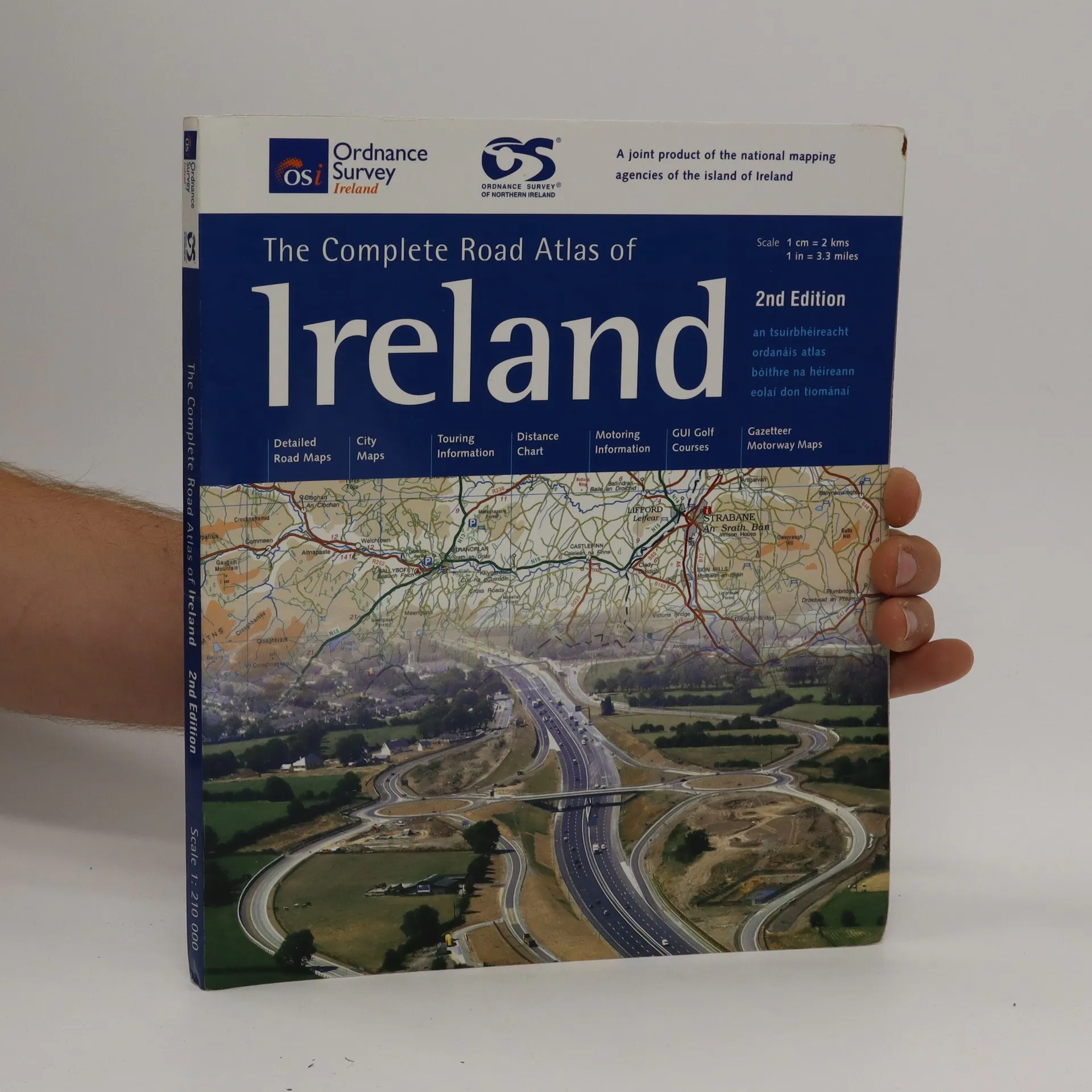
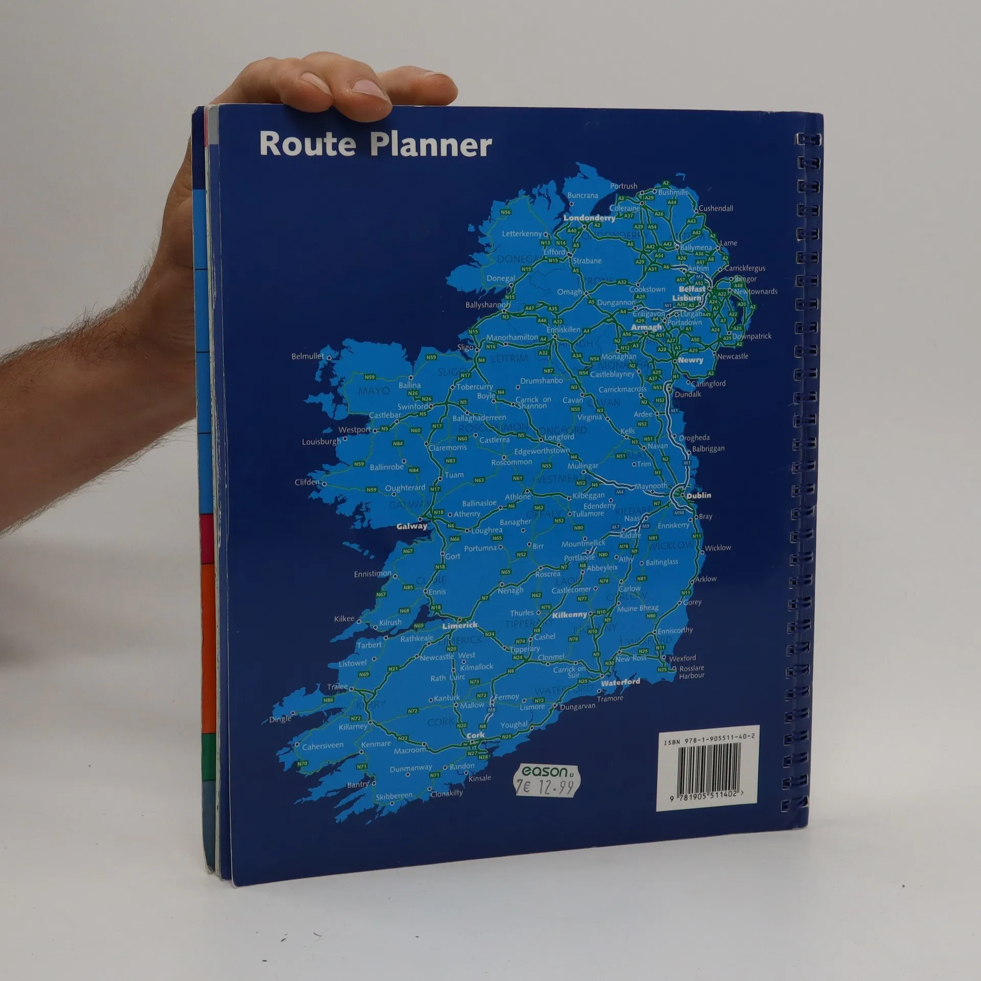
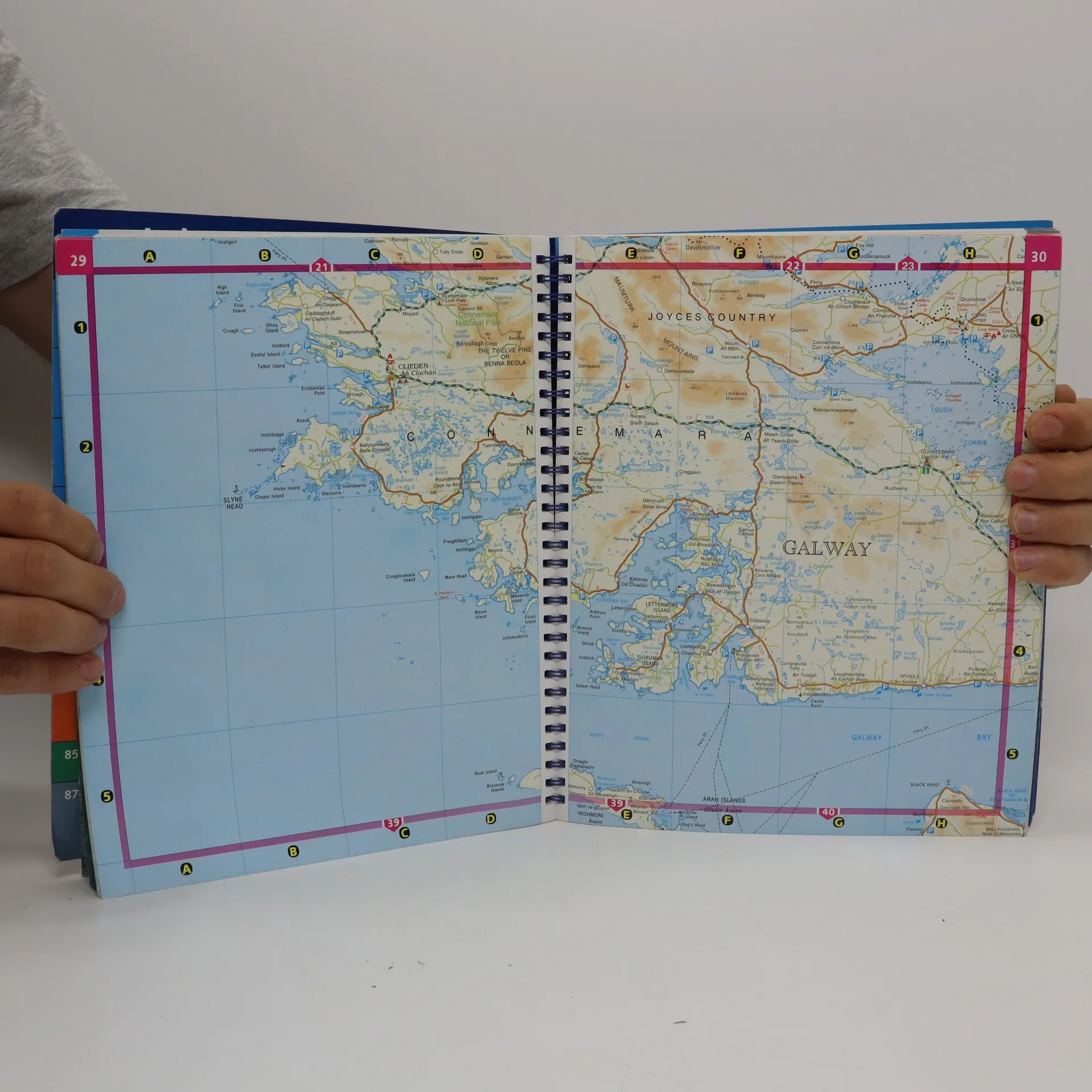
Spiral-bound atlas of Ireland that features detailed road maps at 1:210,000 scale (1 inch = 3.3 miles). Also includes city maps, touring and motoring information, distance chart, golf courses, and placename index. Cities maps of Dublin, Belfast, Cork, Londonderry, Armagh, Galway, Kilkenny, Limerick, Lisburn, Newry, and Waterford. Legend in Gaelic, English, French and German.
Nákup knihy
The complete road atlas of Ireland = an tsuirbhéireacht ordanáis atlas bóithre na hÉireann eolai don tiománaí., Kolektiv autorů
- Jazyk

- Rok vydání
- 2007
- product-detail.submit-box.info.binding
- (kroužková)
Jakmile se objeví, pošleme e-mail.
Doručení
Platební metody
Tady nám chybí tvá recenze.
- Titul
- The complete road atlas of Ireland = an tsuirbhéireacht ordanáis atlas bóithre na hÉireann eolai don tiománaí.
- Jazyk
- anglicky
- Autoři
- Kolektiv autorů
- Vydavatel
- Ordnance Survey of Ireland
- Rok vydání
- 2007
- Vazba
- kroužková
- Počet stran
- 107
- ISBN10
- 190551140x
- ISBN13
- 9781905511402
- Série
- Hodnocení
- 4,5 z 5
- Anotace
- Spiral-bound atlas of Ireland that features detailed road maps at 1:210,000 scale (1 inch = 3.3 miles). Also includes city maps, touring and motoring information, distance chart, golf courses, and placename index. Cities maps of Dublin, Belfast, Cork, Londonderry, Armagh, Galway, Kilkenny, Limerick, Lisburn, Newry, and Waterford. Legend in Gaelic, English, French and German.