
Vyprodáno

Více o knize
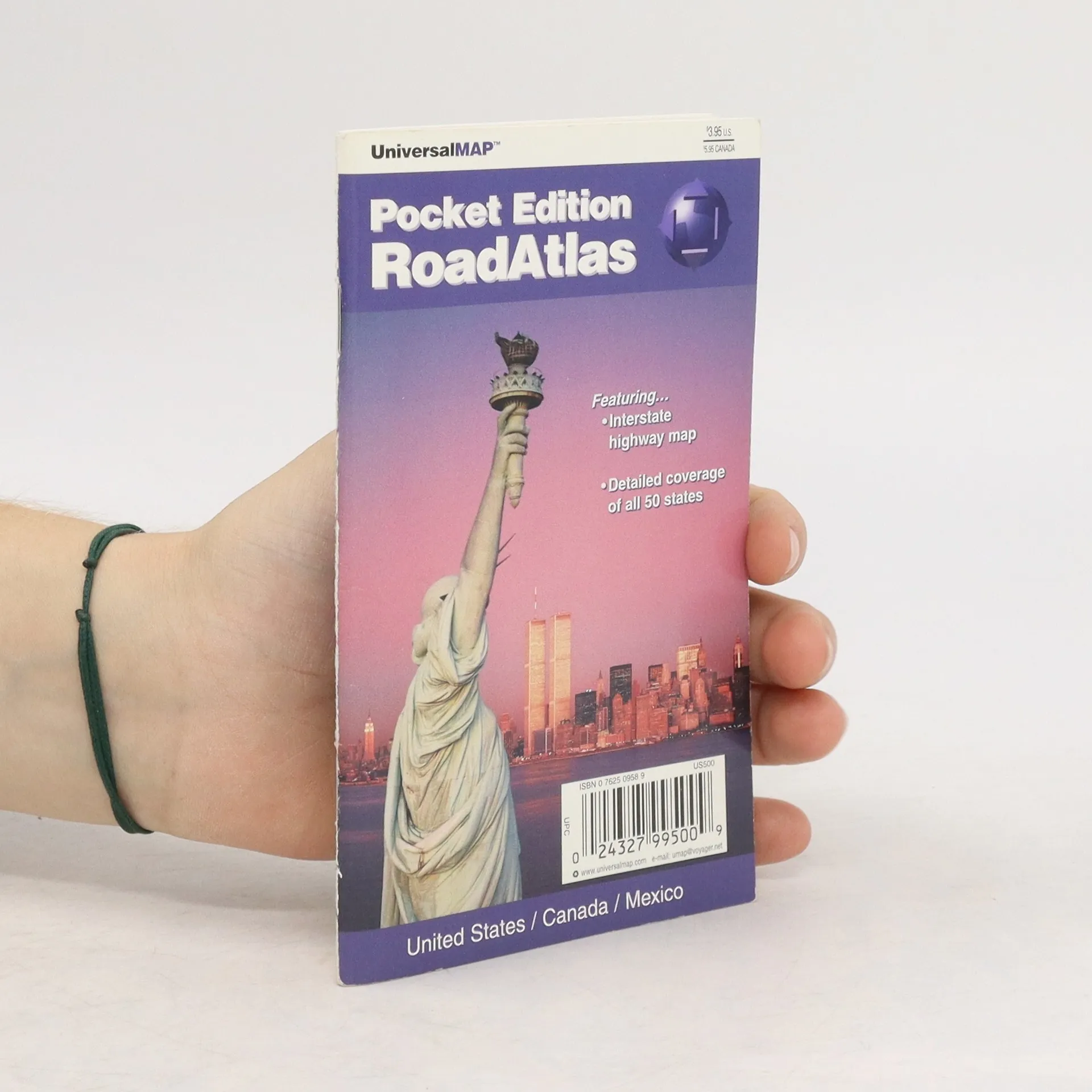
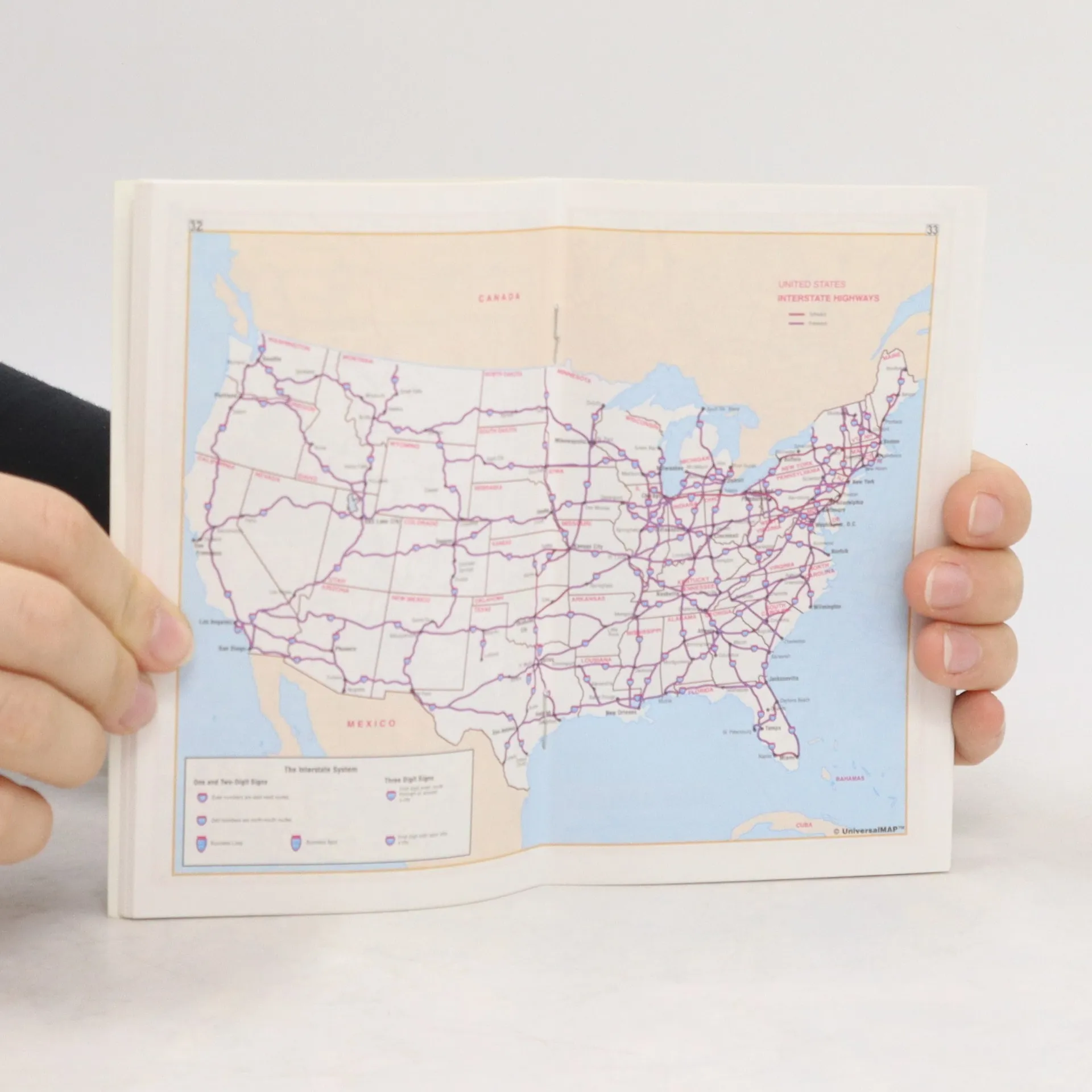
This pocket edition RoadAtlas is full color and includes the United States, Canada, and Mexico. There is detailed coverage of all 50 states. The atlas also features an Interstate highway map. Travel routes are designated by symbols and color coding indicating interstates, toll highways, secondary roads, etc. Cities are given symbols according to population ranging from less than 5,000 to greater than 500,000. Several tables of equivalents are included as well as a trip expense record.
Nákup knihy
Road Atlas, Kolektiv autorů
- Jazyk

- Rok vydání
- 1999
- product-detail.submit-box.info.binding
- (sešitová)
Jakmile se objeví, pošleme e-mail.
Doručení
Platební metody
Nikdo zatím neohodnotil.
- Titul
- Road Atlas
- Jazyk
- anglicky
- Autoři
- Kolektiv autorů
- Vydavatel
- Universal Map
- Rok vydání
- 1999
- Vazba
- sešitová
- Počet stran
- 64
- ISBN10
- 0762509589
- ISBN13
- 9780762509584
- Série
- Anotace
- This pocket edition RoadAtlas is full color and includes the United States, Canada, and Mexico. There is detailed coverage of all 50 states. The atlas also features an Interstate highway map. Travel routes are designated by symbols and color coding indicating interstates, toll highways, secondary roads, etc. Cities are given symbols according to population ranging from less than 5,000 to greater than 500,000. Several tables of equivalents are included as well as a trip expense record.