
Kupuješ přesně tu knihu, která je na fotce

Více o knize
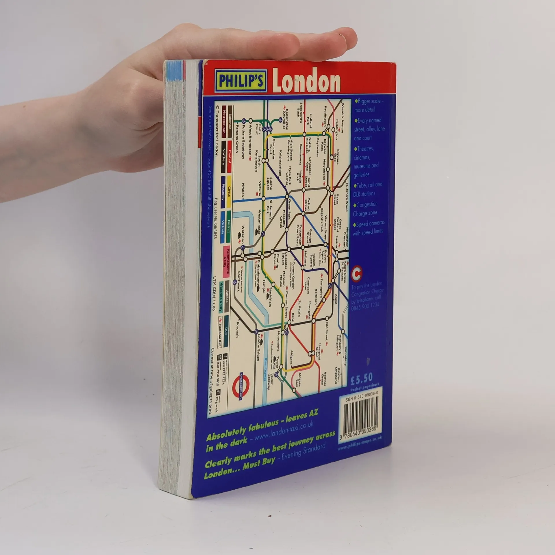
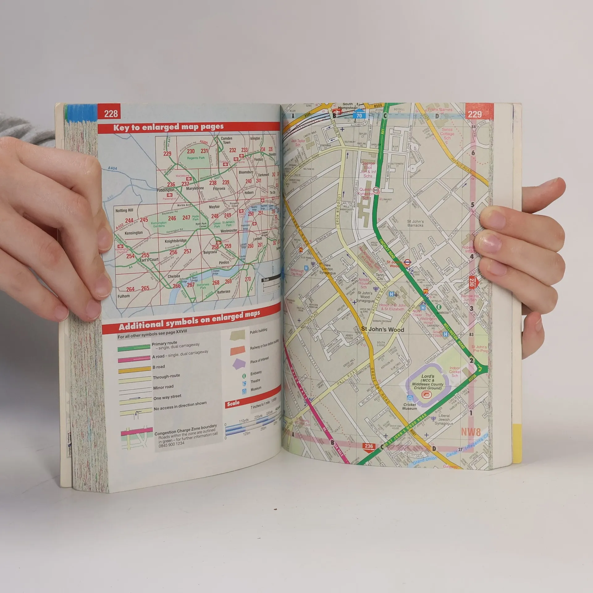
Gives comprehensive coverage of London. This atlas includes maps of central London, 18-page route planner, and the street maps. It also contains comprehensive index lists street names and postcodes, and schools, hospitals, railway stations, shopping centres and other features. It is suitable for both drivers and pedestrians.


Nákup knihy
London Street Atlas, George Philip & Son
- Jazyk

- Rok vydání
- 2007
- product-detail.submit-box.info.binding
- (měkká),
- Stav knihy
- Dobrá
- Cena
- 49 Kč
Kupte si tuto knihu za pouhých 25 Kč
Doručení
Platební metody
Nikdo zatím neohodnotil.
- Titul
- London Street Atlas
- Jazyk
- anglicky
- Autoři
- George Philip & Son
- Vydavatel
- Philip's
- Rok vydání
- 2007
- Vazba
- měkká
- Počet stran
- 486
- ISBN10
- 0540090360
- ISBN13
- 9780540090365
- Série
- Anotace
- Gives comprehensive coverage of London. This atlas includes maps of central London, 18-page route planner, and the street maps. It also contains comprehensive index lists street names and postcodes, and schools, hospitals, railway stations, shopping centres and other features. It is suitable for both drivers and pedestrians.