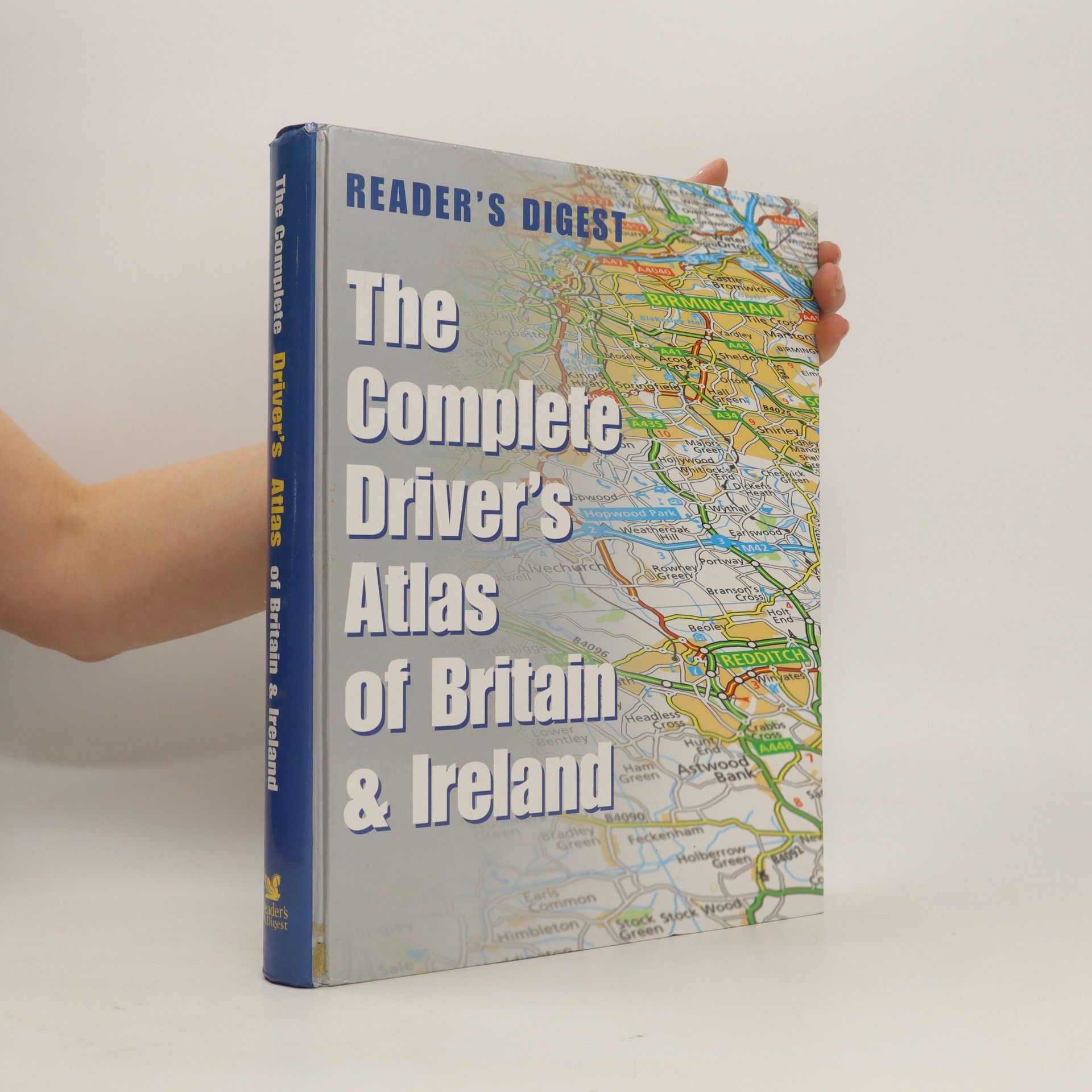
The complete driver's atlas of Britain and Ireland
Autoři
Více o knize
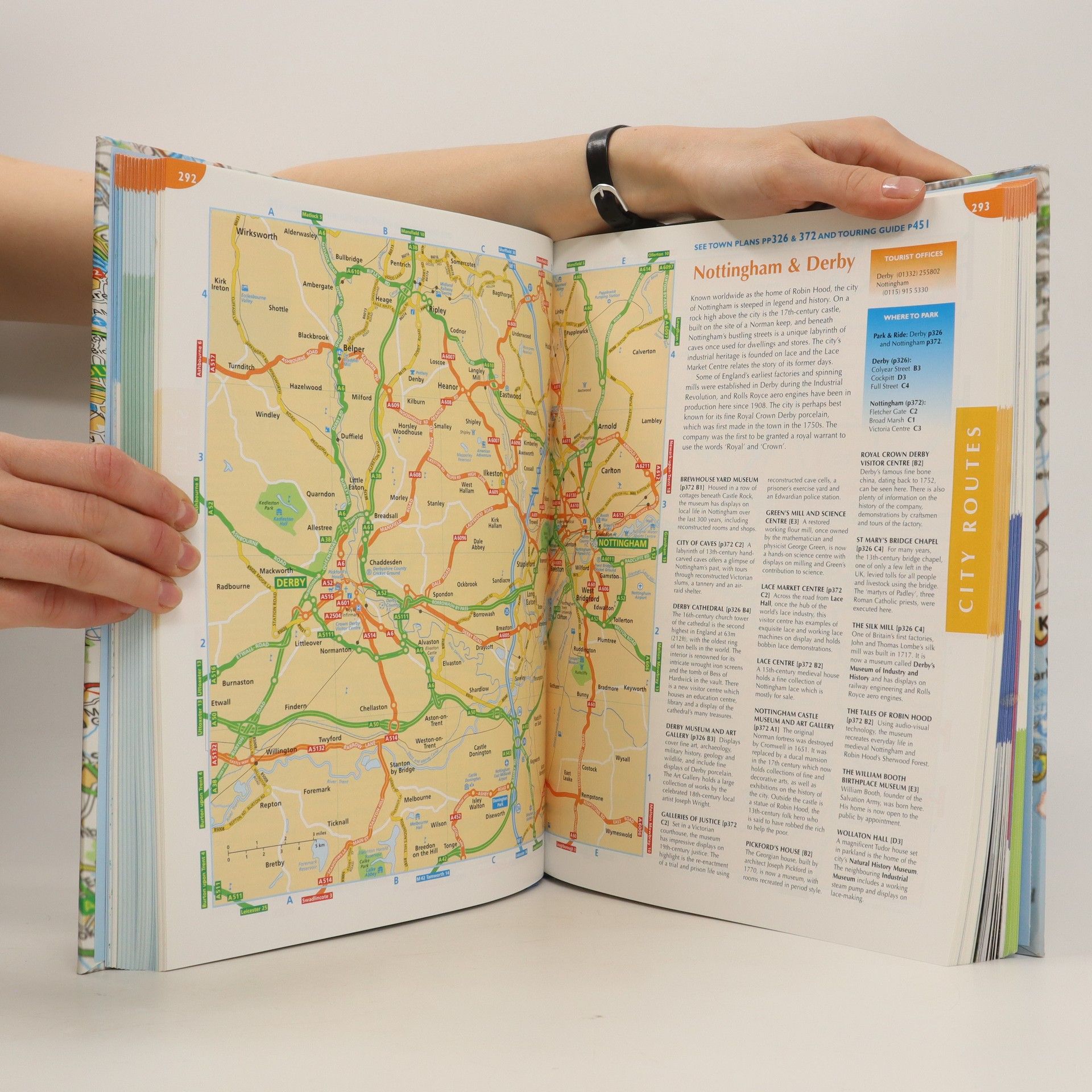
This atlas covers all of Britain and Ireland with the area around Calais and Boulogne as well. It shows motorways, primary routes, A-roads, B-roads, lanes and backroads. There are also plans of cities, towns (with park and ride schemes), airports, ferry ports, and extra-large-scale city route finders.
Vydání
Nákup knihy
Jakmile ji vyčmucháme, pošleme vám e-mail.


