
Vyprodáno
Parametry
Více o knize
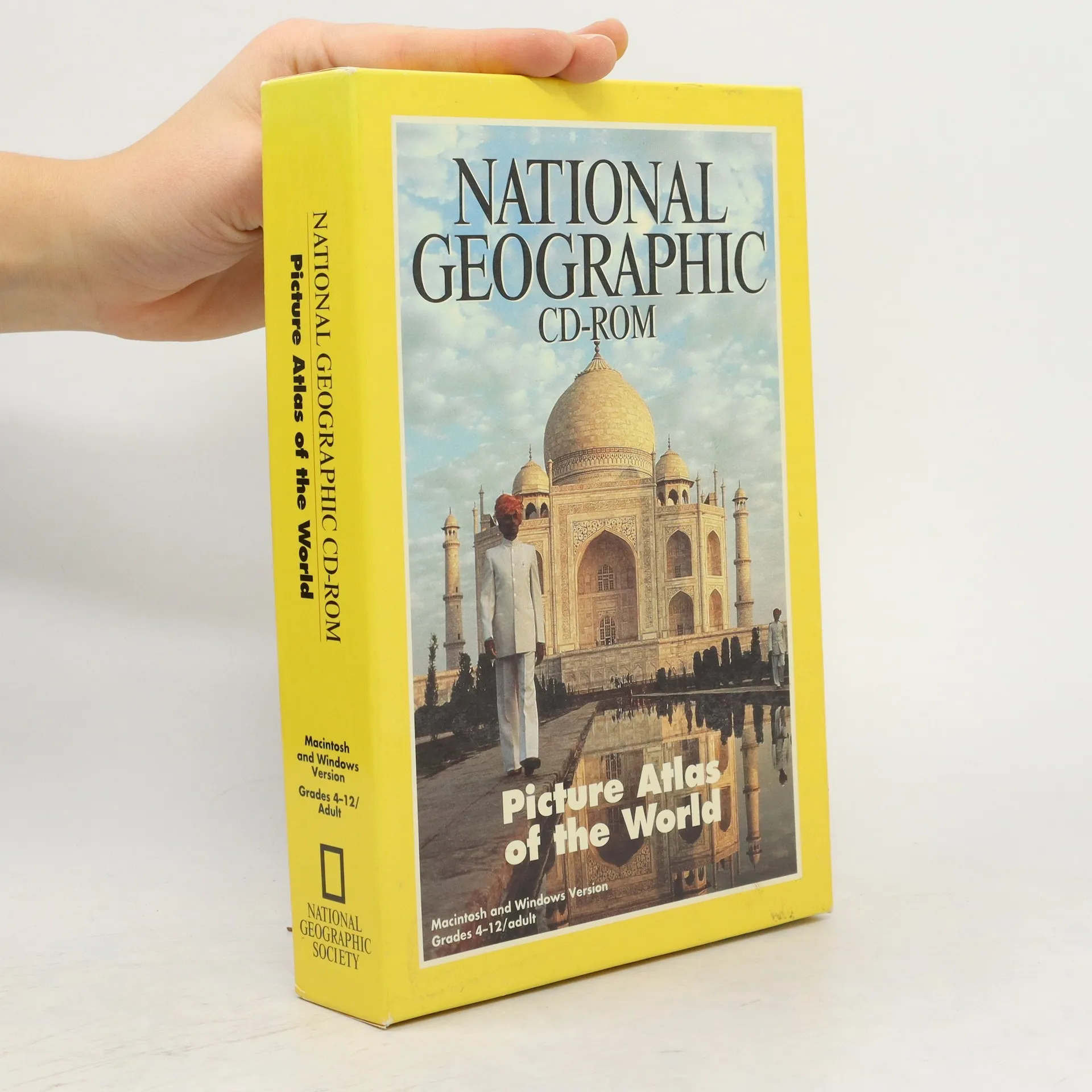
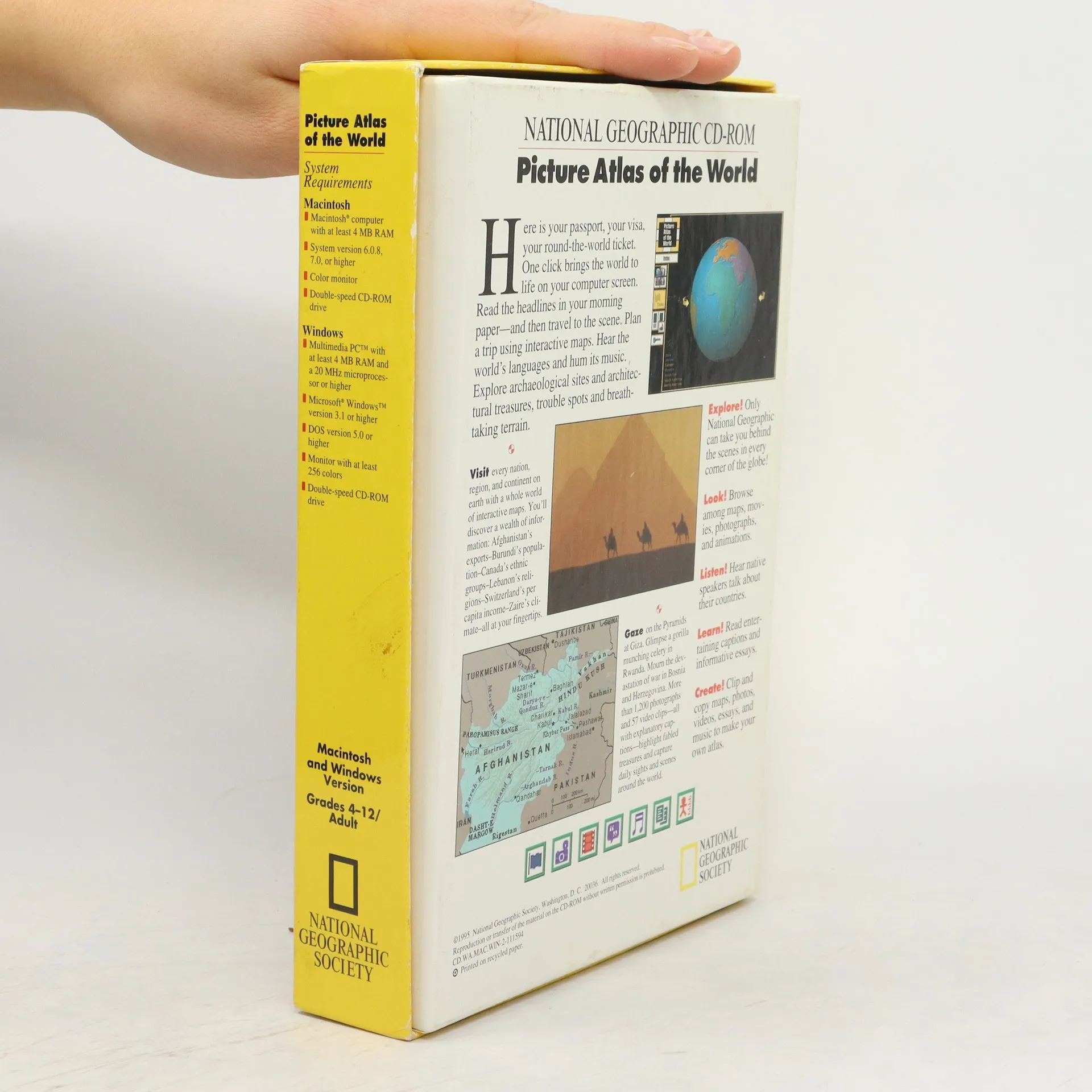
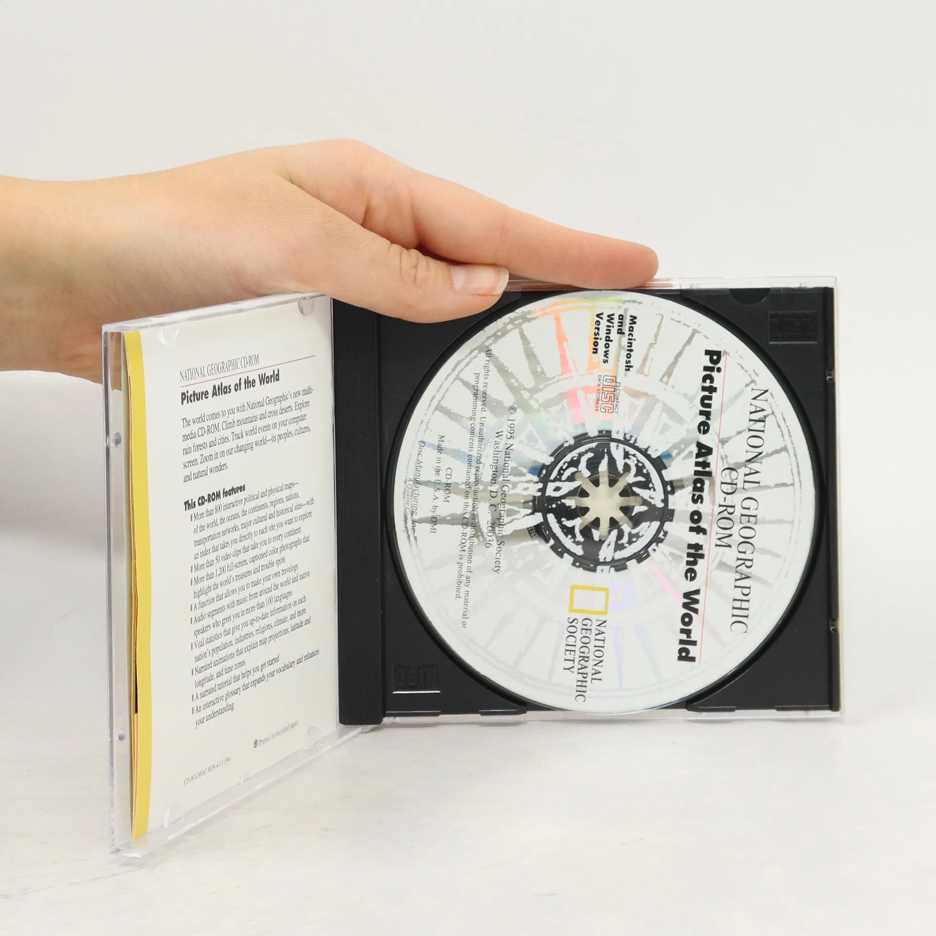
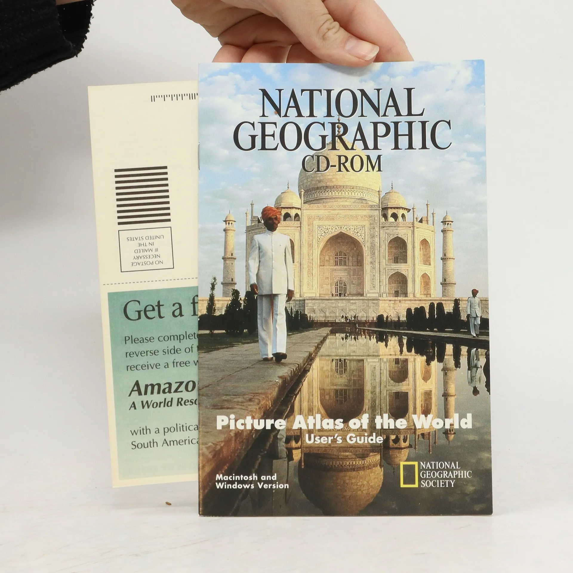
World atlas includes more than 800 interactive political, physical and topographic maps; more than 1,200 captioned photographs; video clips; a clip-and-copy tool; audio and music with native speakers in more than 100 languages; vital statistics on each country; glossary; and printing capability. For Grades 4-12/Adult. Macintosh and Windows versions included.
Nákup knihy
National Geographic. Picture Atlas of the World, Kolektiv autorů
- Jazyk

- Rok vydání
- 1992
- product-detail.submit-box.info.binding
- (měkká)
Jakmile se objeví, pošleme e-mail.
Doručení
Platební metody
Nikdo zatím neohodnotil.
- Titul
- National Geographic. Picture Atlas of the World
- Jazyk
- anglicky
- Autoři
- Kolektiv autorů
- Rok vydání
- 1992
- Vazba
- měkká
- ISBN10
- 0792228421
- ISBN13
- 9780792228424
- Série
- Anotace
- World atlas includes more than 800 interactive political, physical and topographic maps; more than 1,200 captioned photographs; video clips; a clip-and-copy tool; audio and music with native speakers in more than 100 languages; vital statistics on each country; glossary; and printing capability. For Grades 4-12/Adult. Macintosh and Windows versions included.