
Miláček čtenářů je právě vyprodaný
Více o knize
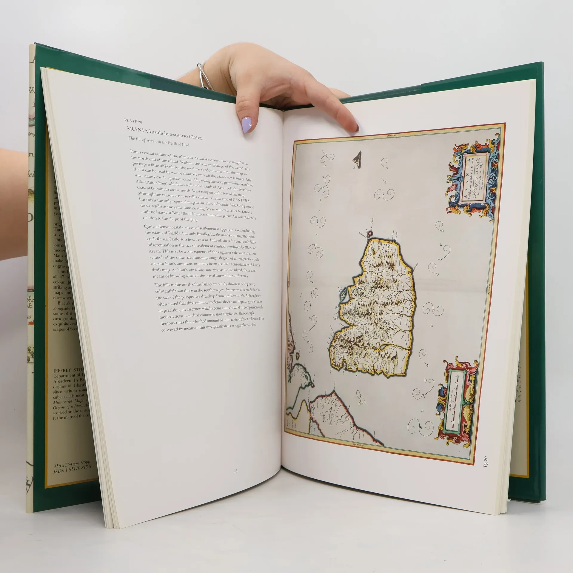
Bound in the publisher's original green cloth over boards, spine stamped in gilt. With frontis and 46 full color plates and illustrations throughout.
Nákup knihy
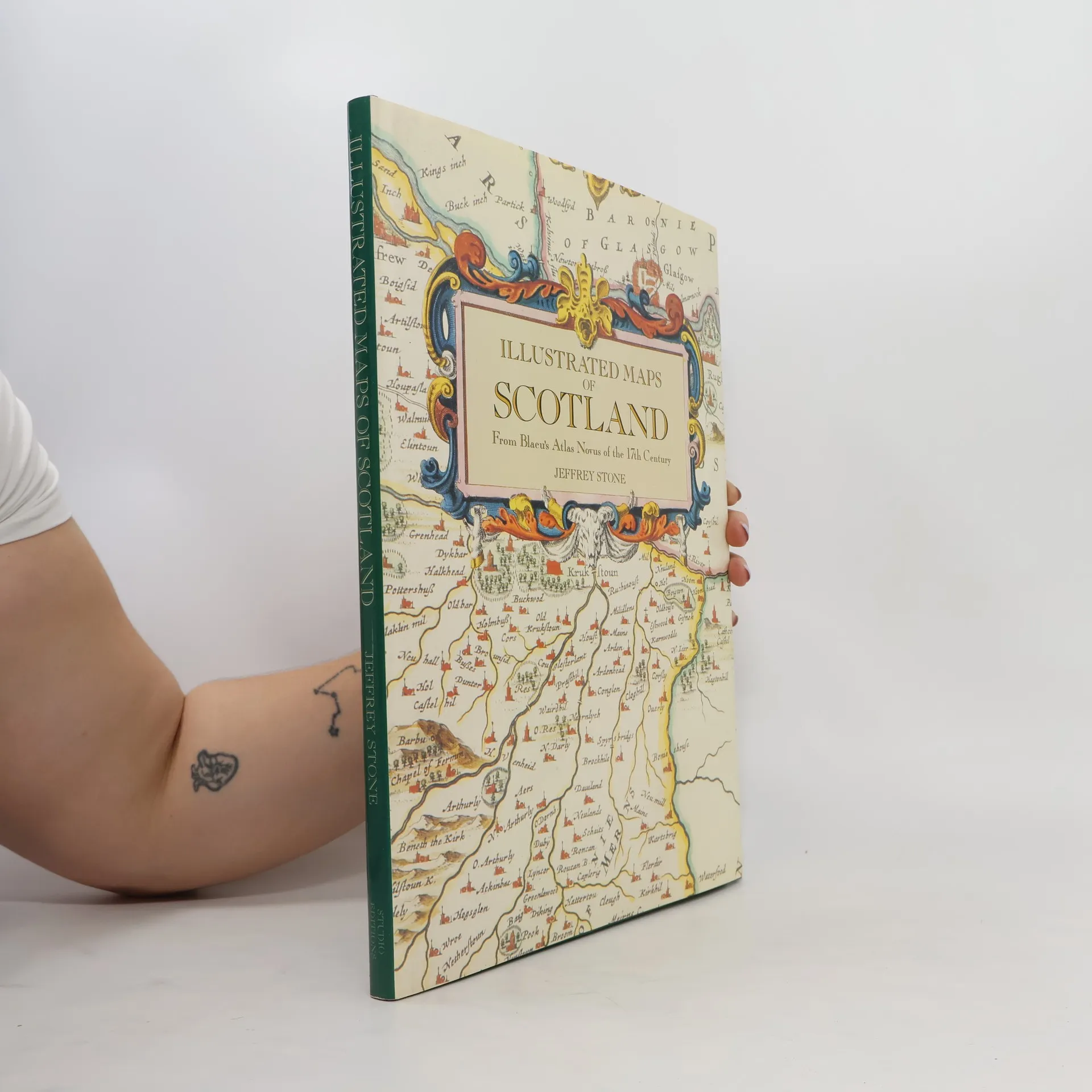
Illustrated Maps of Scotland, Jeffrey Stone
- Jazyk

- Rok vydání
- 1991
- product-detail.submit-box.info.binding
- (pevná)
Jakmile se objeví, pošleme e-mail.
Doručení
Platební metody
Tady nám chybí tvá recenze.
- Titul
- Illustrated Maps of Scotland
- Podtitul
- From Blaeu's Atlas Novus of the 17th Century
- Jazyk
- anglicky
- Autoři
- Jeffrey Stone
- Vydavatel
- Studio Editions
- Rok vydání
- 1991
- Vazba
- pevná
- ISBN10
- 1851708138
- ISBN13
- 9781851708130
- Série
- Hodnocení
- 3 z 5
- Anotace
- Bound in the publisher's original green cloth over boards, spine stamped in gilt. With frontis and 46 full color plates and illustrations throughout.