
Vyprodáno

Více o knize
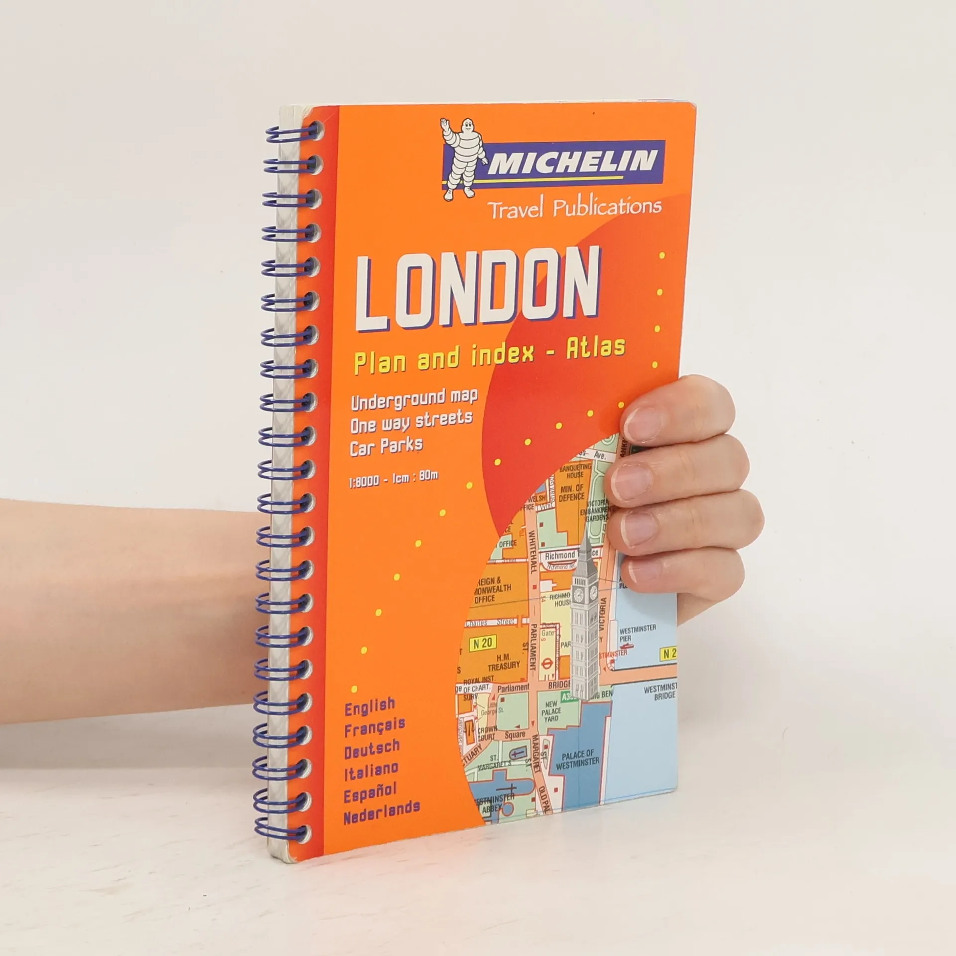
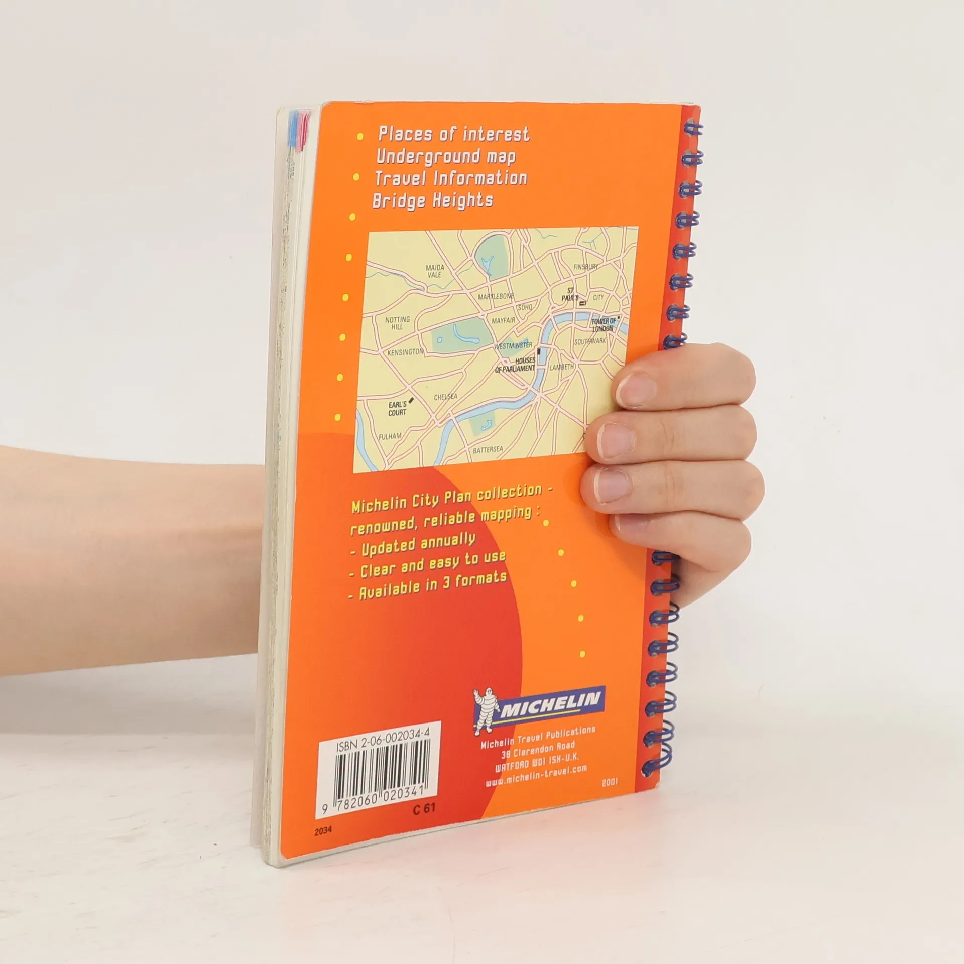
Spiral format street plan with index. Includes practical information, one way streets, car parks, taxi ranks, public transport, public buildings and post offices. 1/10000 - 1cm = 100m.
Nákup knihy
London Plan and Index-atlas, Kolektiv autorů
- Jazyk


- Rok vydání
- 2000
- product-detail.submit-box.info.binding
- (leporelo)
Jakmile se objeví, pošleme e-mail.
Doručení
Platební metody
Tady nám chybí tvá recenze.
- Titul
- London Plan and Index-atlas
- Jazyk
- anglicky, německy, francouzsky, španělsky, italsky, nizozemsky
- Autoři
- Kolektiv autorů
- Vydavatel
- Michelin
- Rok vydání
- 2000
- Vazba
- leporelo
- Počet stran
- 164
- ISBN10
- 2060020344
- ISBN13
- 9782060020341
- Série
- Štítky
- Dětská literatura, Leporela, Velká Británie, Londýn
- Hodnocení
- 4 z 5
- Anotace
- Spiral format street plan with index. Includes practical information, one way streets, car parks, taxi ranks, public transport, public buildings and post offices. 1/10000 - 1cm = 100m.