
Miláček čtenářů je právě vyprodaný
Parametry
- 160 stránek
- 6 hodin čtení
Více o knize
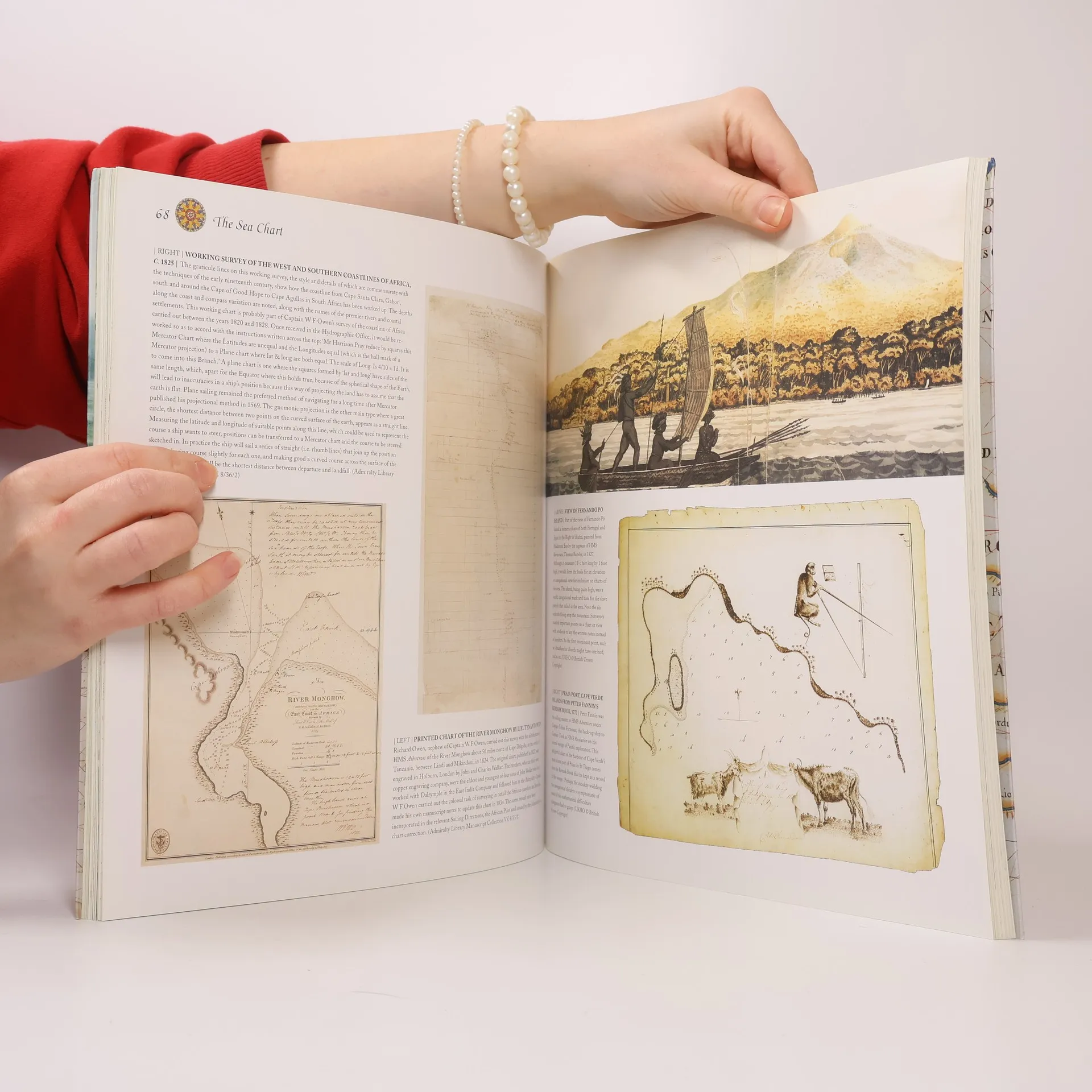
This volume looks at the history and development of the chart and the related nautical map, in both scientific and aesthetic terms, as a means of safe and accurate seaborne navigation. Key figures or milestones in the history of charting are presented in stand-alone story box features.
Nákup knihy
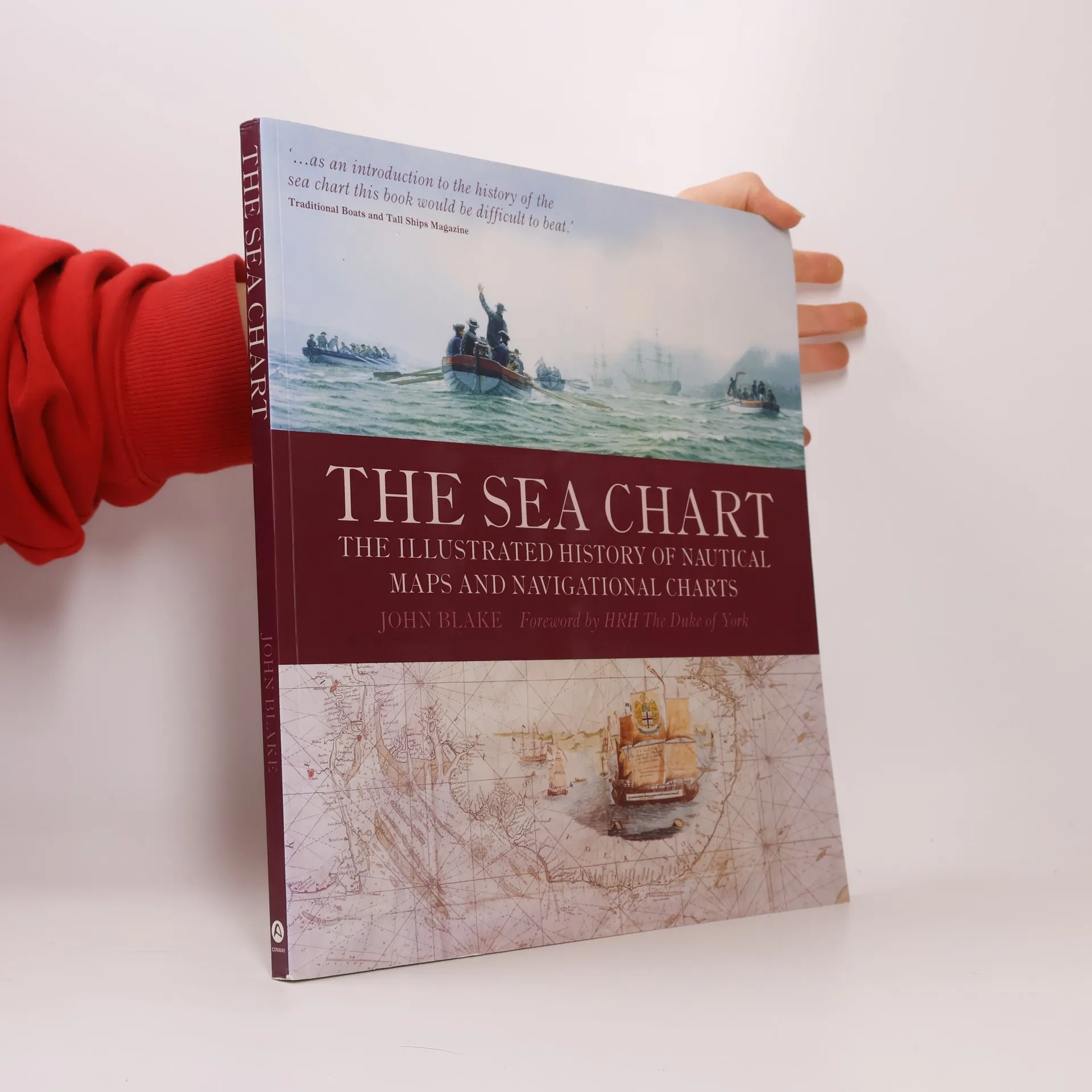
The Sea Chart, John Blake, HRH The Duke of York
- Jazyk

- Rok vydání
- 2009
- product-detail.submit-box.info.binding
- (měkká)
Jakmile se objeví, pošleme e-mail.
Doručení
Platební metody
Tady nám chybí tvá recenze.
- Titul
- The Sea Chart
- Podtitul
- The Illustrated History of Nautical Maps and Navigational Charts
- Jazyk
- anglicky
- Autoři
- John Blake, HRH The Duke of York
- Vydavatel
- Conway Maritime Press
- Rok vydání
- 2009
- Vazba
- měkká
- Počet stran
- 160
- ISBN10
- 1844860639
- ISBN13
- 9781844860630
- Série
- Štítky
- Naučná literatura, Historické téma, Mapy & Cestování, Technologie & Průmysl, Zeměpis & Místopisy, Příručky a návody, Věda, Automobily & Doprava, Lodě, Mořeplavba, Kartografie, Historická geografie, Navigace
- Hodnocení
- 4,65 z 5
- Anotace
- This volume looks at the history and development of the chart and the related nautical map, in both scientific and aesthetic terms, as a means of safe and accurate seaborne navigation. Key figures or milestones in the history of charting are presented in stand-alone story box features.