
Kupuješ přesně tu knihu, která je na fotce

Více o knize
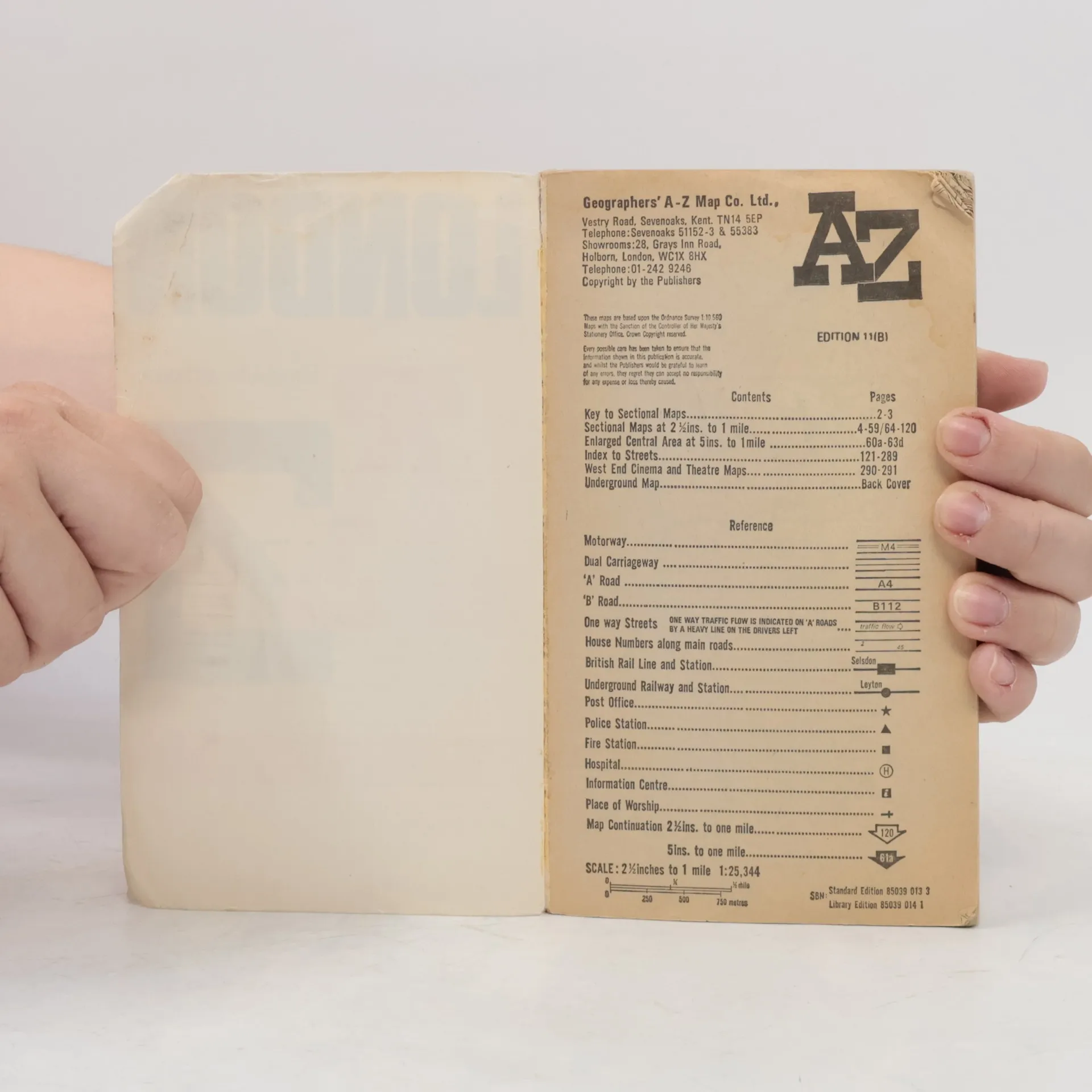
Contains street maps at scale 3" to 1 mile, 11 pages of 4.5" to 1 mile maps covering the congested central area, an Underground map and West End cinema and theatre maps. Coverage extends to Stanmore, Barnet, Enfield, Woodford, Dagenham, Woolwich, Bromley, Croydon, Surbiton, Southall and Harrow.


Nákup knihy
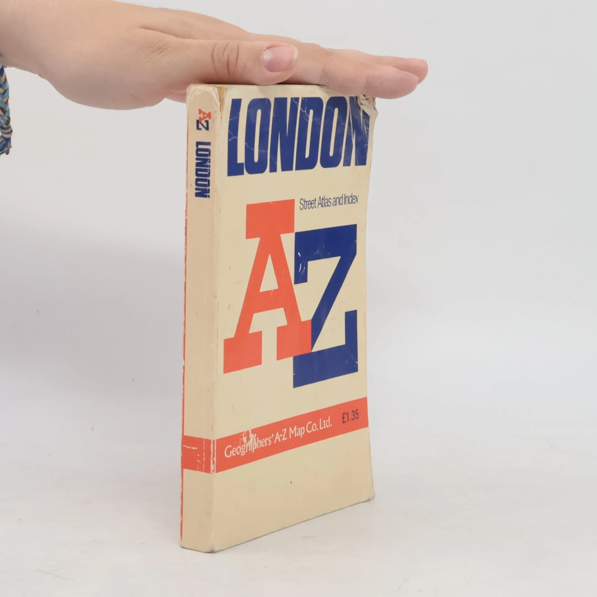
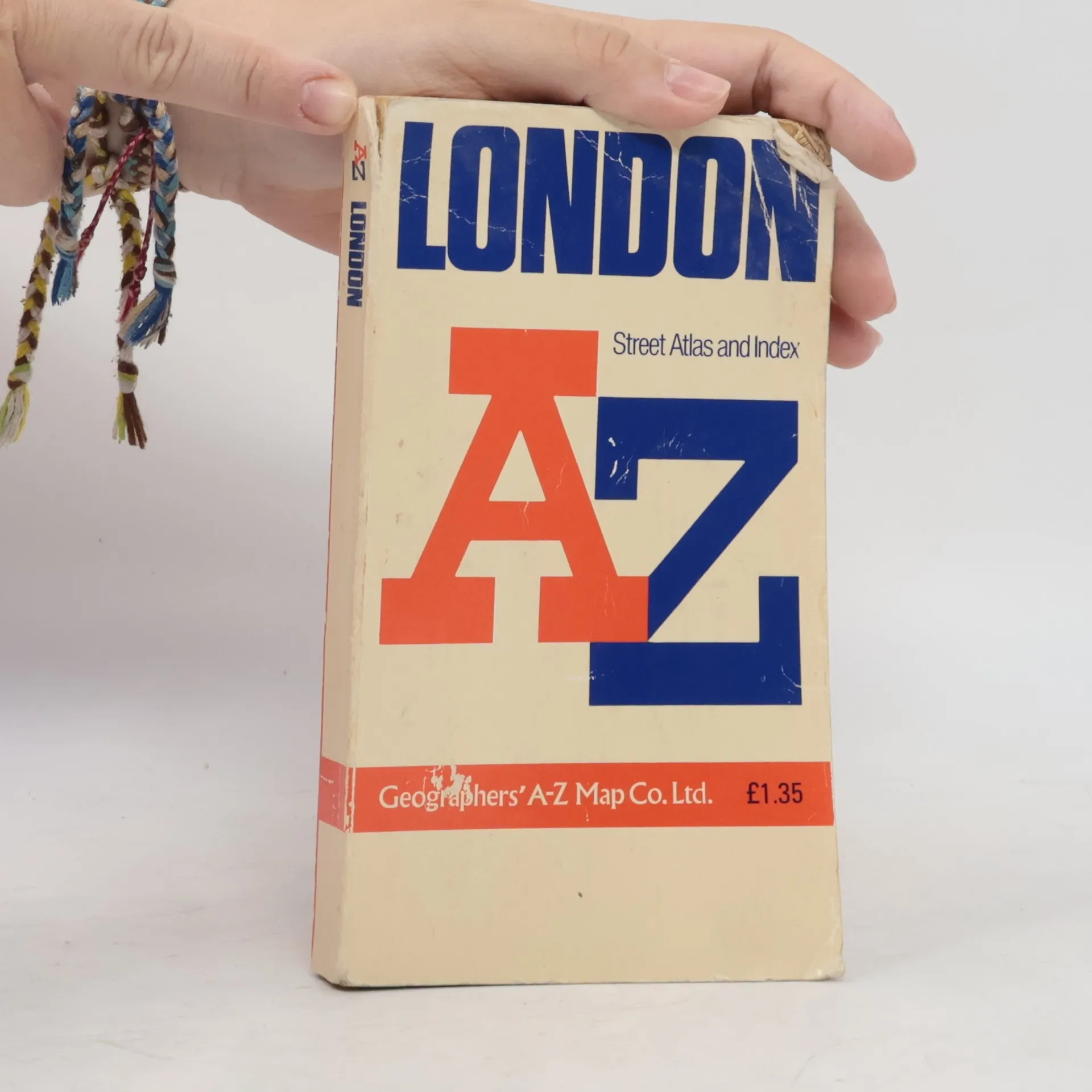
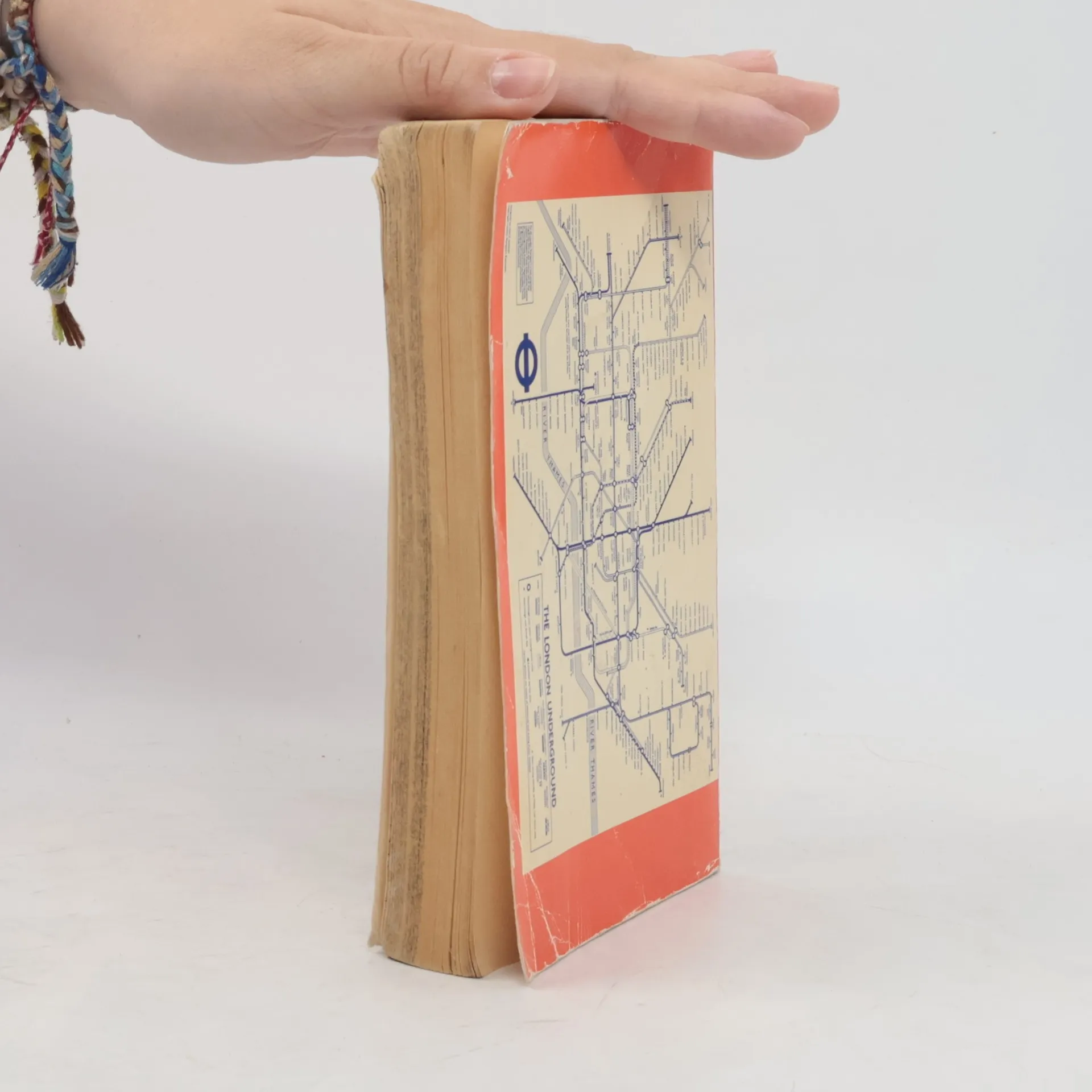
AZ London Street Atlas, Kolektiv autorů
- Jazyk

- Rok vydání
- 1990
- product-detail.submit-box.info.binding
- (měkká),
- Stav knihy
- Poškozená
- Cena
- 37 Kč
Doručení
Platební metody
Tady nám chybí tvá recenze.
- Podtitul
- Street Atlas Index
- Jazyk
- anglicky
- Autoři
- Kolektiv autorů
- Vydavatel
- Geographers' A-Z Map Company
- Rok vydání
- 1990
- Vazba
- měkká
- ISBN10
- 0850390133
- ISBN13
- 9780850390131
- Série
- Hodnocení
- 4,45 z 5
- Anotace
- Contains street maps at scale 3" to 1 mile, 11 pages of 4.5" to 1 mile maps covering the congested central area, an Underground map and West End cinema and theatre maps. Coverage extends to Stanmore, Barnet, Enfield, Woodford, Dagenham, Woolwich, Bromley, Croydon, Surbiton, Southall and Harrow.