
Miláček čtenářů je právě vyprodaný
Více o knize
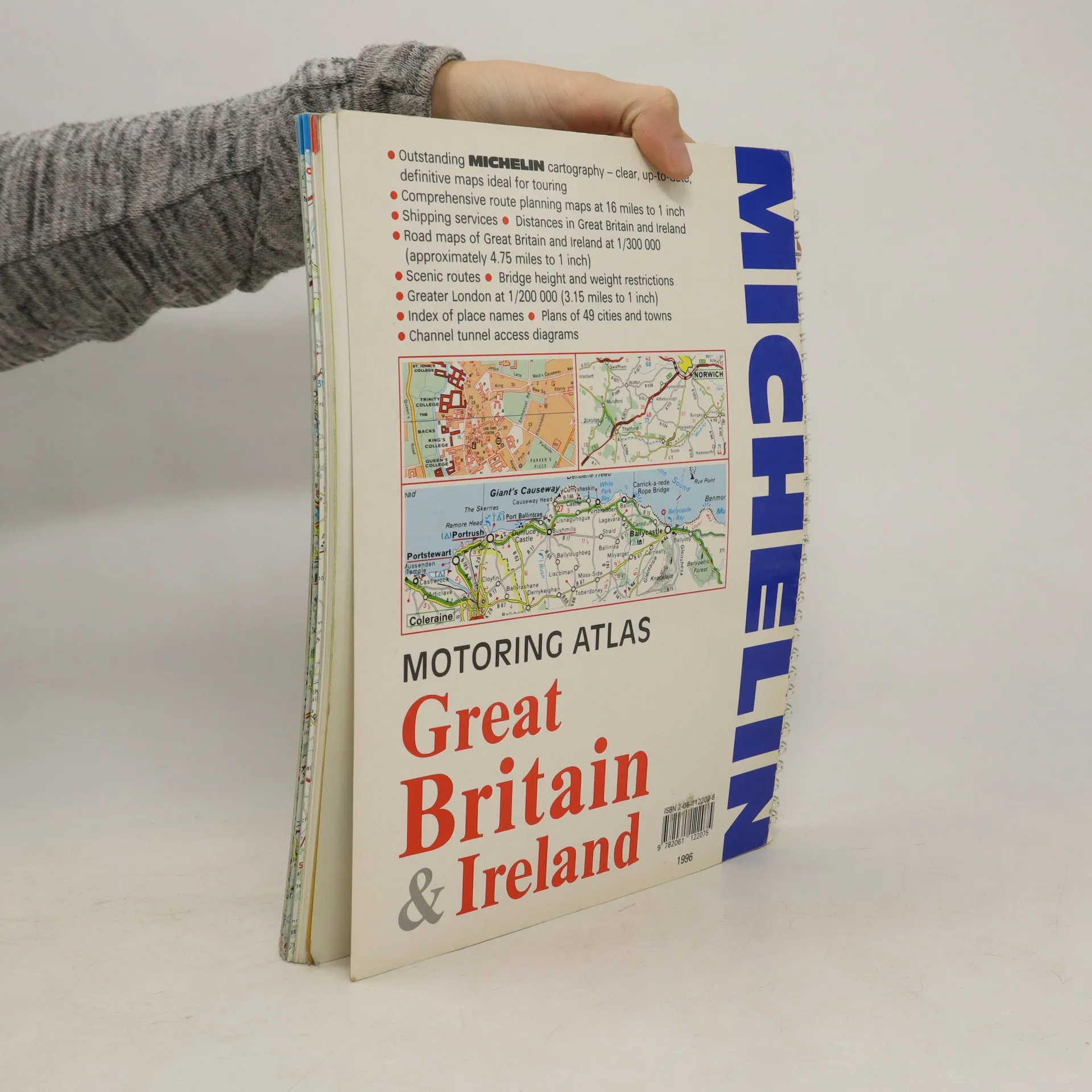
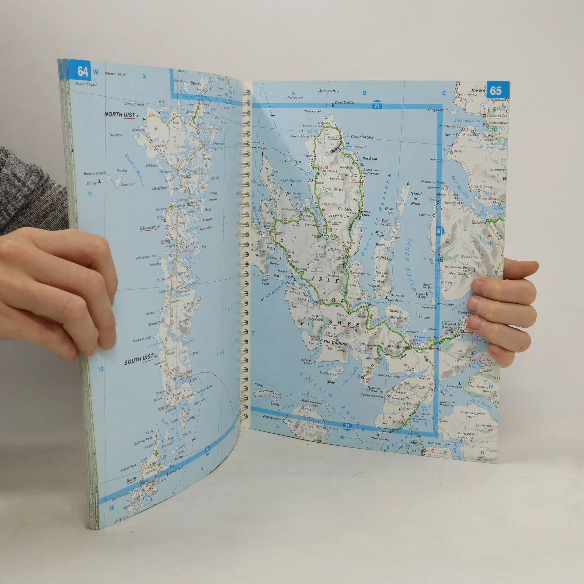
A motoring atlas of Great Britain and Ireland, with cartography at a scale of 1:300,000. Scenic routes are indicated, and other features include shipping services, distances, bridge height and weight restrictions, 49 city and town plans, and Channel Tunnel access diagrams.
Nákup knihy
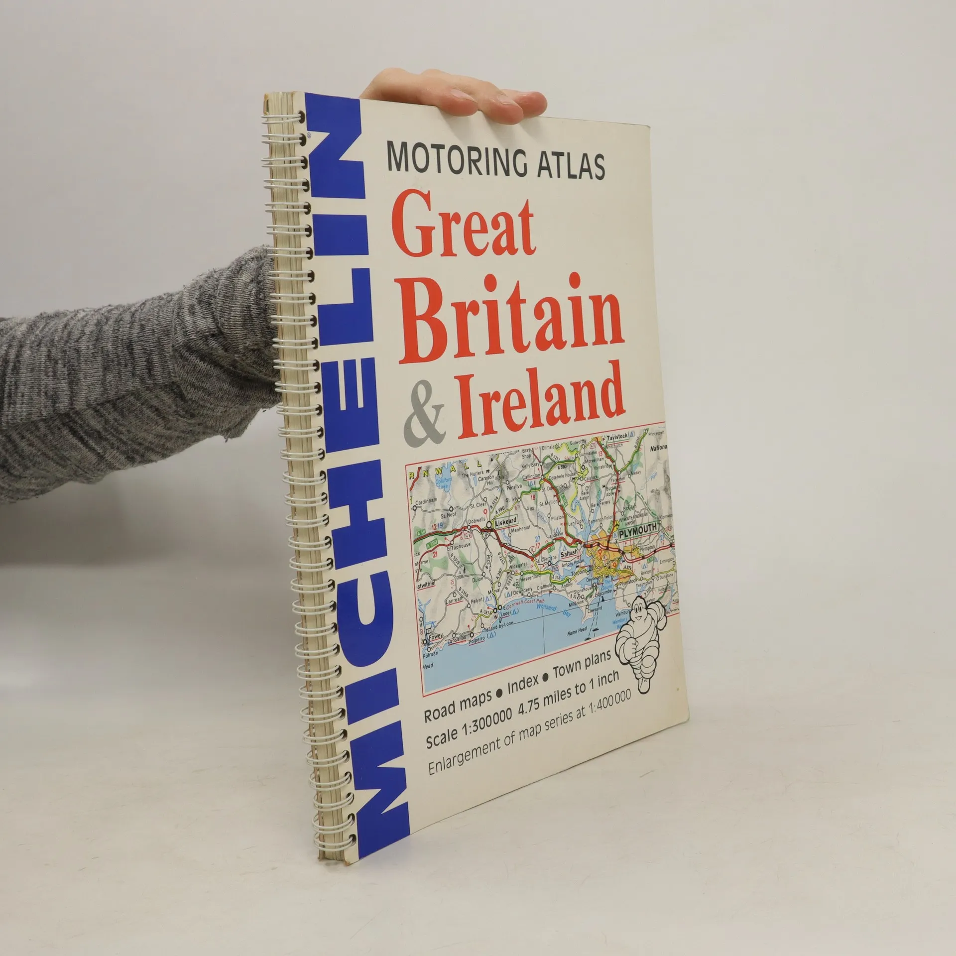
Motoring Atlas Great Britain & Ireland, Kolektiv autorů
- Jazyk

- Rok vydání
- 1996
- product-detail.submit-box.info.binding
- (kroužková)
Jakmile se objeví, pošleme e-mail.
Doručení
Platební metody
Tady nám chybí tvá recenze.
- Titul
- Motoring Atlas Great Britain & Ireland
- Jazyk
- anglicky
- Autoři
- Kolektiv autorů
- Vydavatel
- Michelin Travel Publications
- Rok vydání
- 1996
- Vazba
- kroužková
- Počet stran
- 147
- ISBN10
- 2061122078
- ISBN13
- 9782061122075
- Série
- Hodnocení
- 3 z 5
- Anotace
- A motoring atlas of Great Britain and Ireland, with cartography at a scale of 1:300,000. Scenic routes are indicated, and other features include shipping services, distances, bridge height and weight restrictions, 49 city and town plans, and Channel Tunnel access diagrams.