

Miláček čtenářů je právě vyprodaný

Více o knize
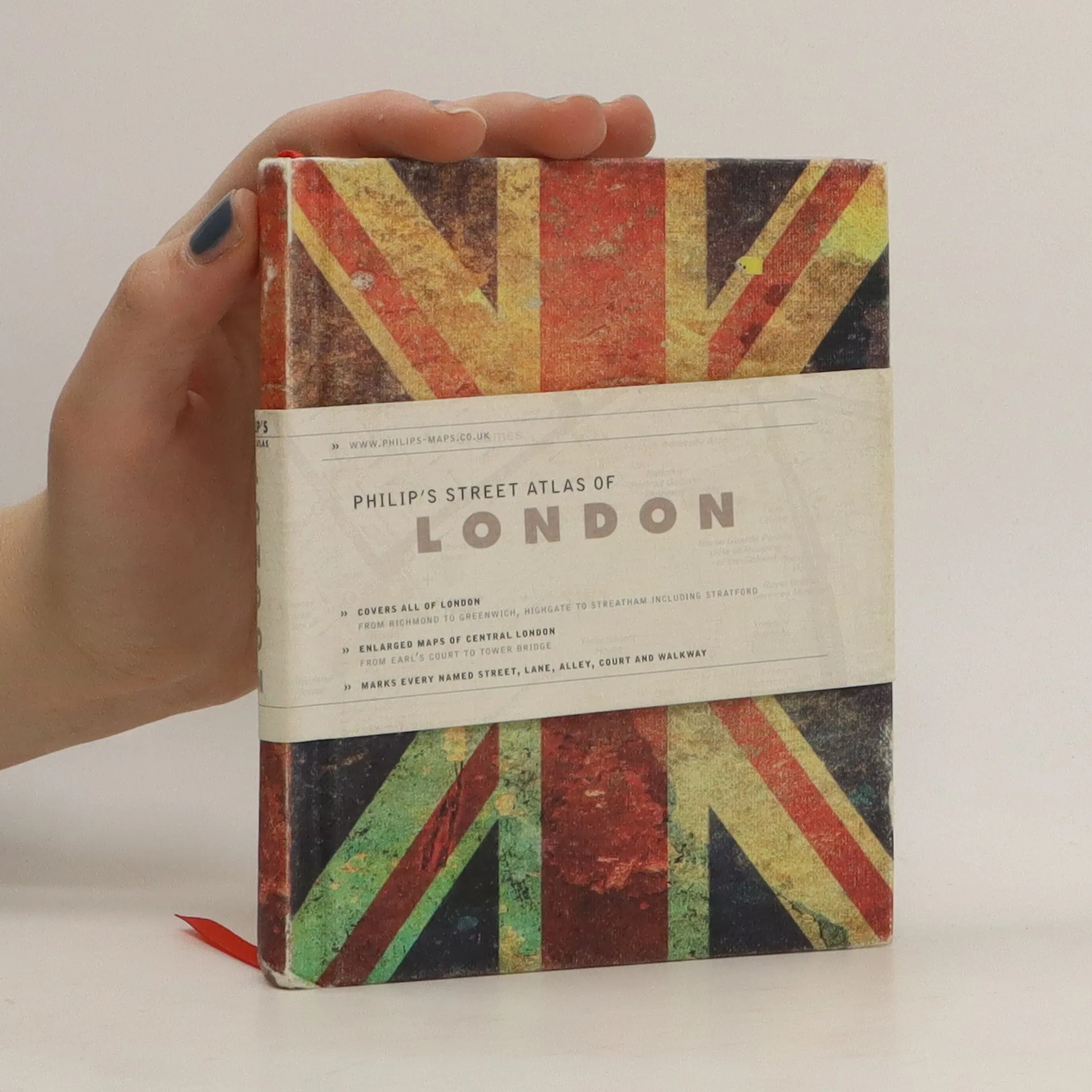
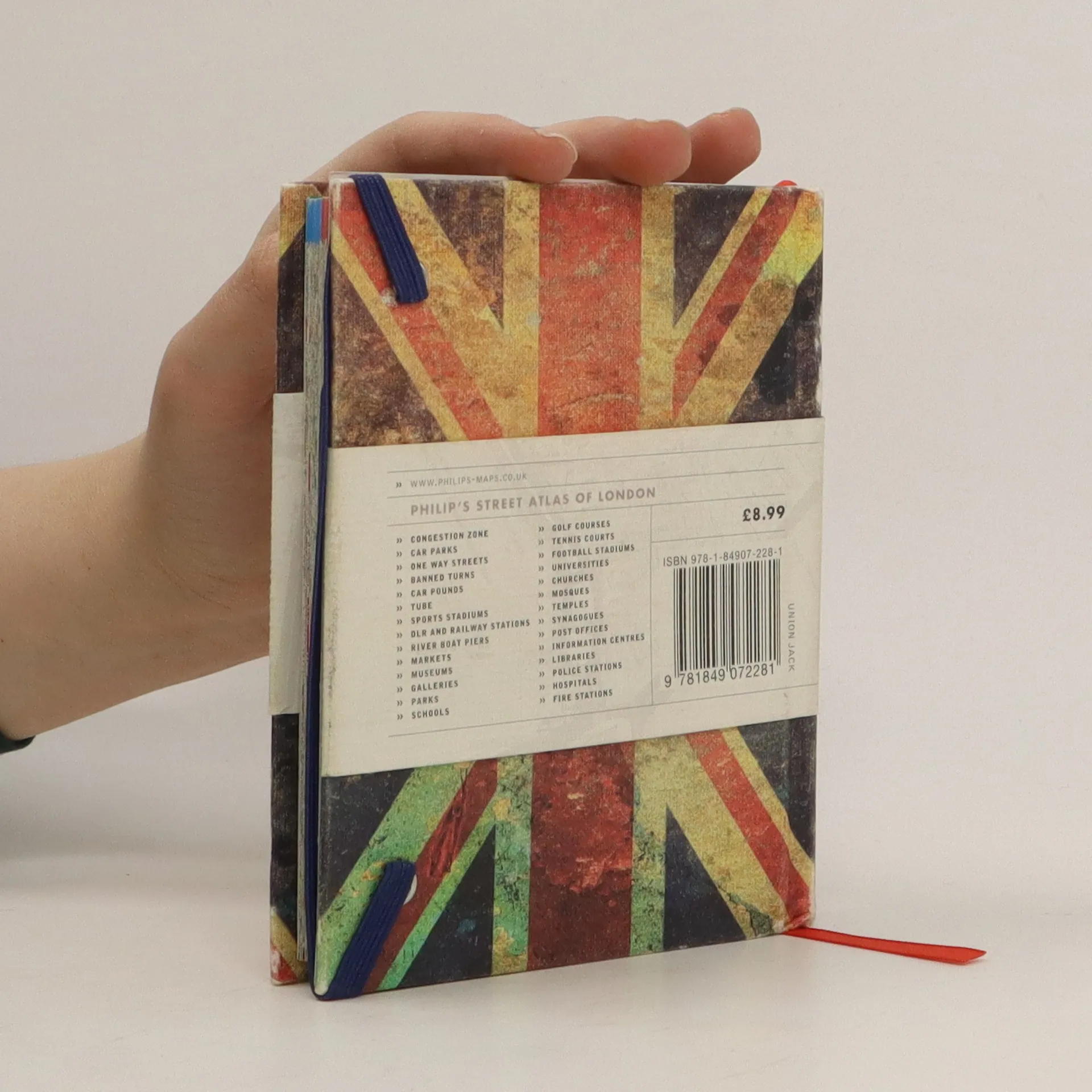
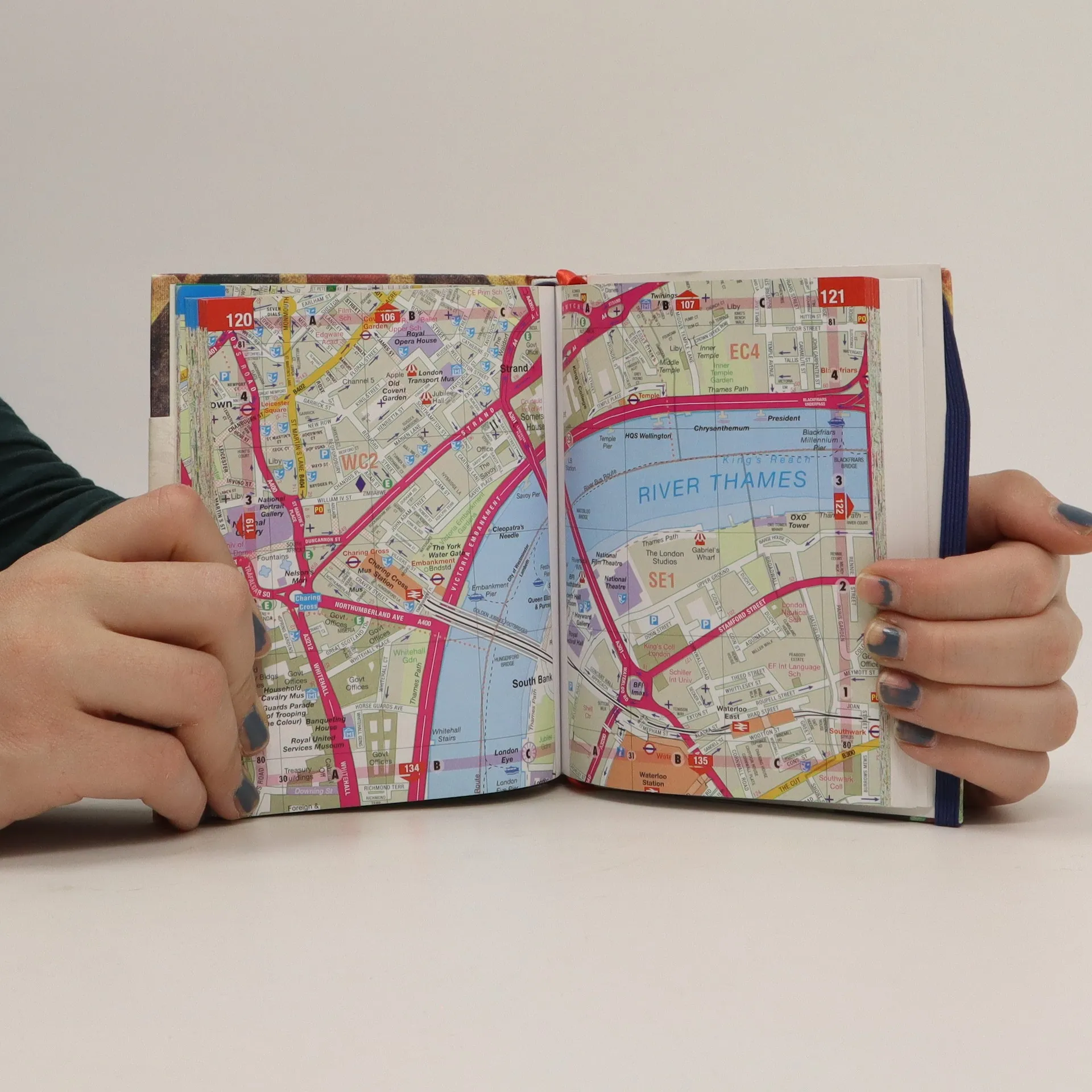
This is a fully revised edition of the definitive London Atlas. Every street is named, the Congestion Charging Zone is highlighted, bus, tube and rail maps are featured, an index is given of hospitals and places of interest, postcodes are given, and theatres, cinemas and shopping are shown on a separate map.


Nákup knihy
Philip's street atlas of London, Kolektiv autorů
- Jazyk

- Rok vydání
- 2012
- product-detail.submit-box.info.binding
- (pevná)
Doručení
Platební metody
Nikdo zatím neohodnotil.
- Jazyk
- anglicky
- Autoři
- Kolektiv autorů
- Vydavatel
- Philip's
- Rok vydání
- 2012
- Vazba
- pevná
- Počet stran
- 320
- ISBN10
- 1849072280
- ISBN13
- 9781849072281
- Série
- Anotace
- This is a fully revised edition of the definitive London Atlas. Every street is named, the Congestion Charging Zone is highlighted, bus, tube and rail maps are featured, an index is given of hospitals and places of interest, postcodes are given, and theatres, cinemas and shopping are shown on a separate map.